Black Loch

Lake, Pool, Pond, Freshwater Marsh in Kirkcudbrightshire

Scotland

Black Loch

Granite outcrop shore The shore here comprises solid granite outcrop, albeit fissured and jointed. Where the rock is clean and free of colourful lichen, the granite has a pronounced red tint which is characteristic of the southern, marginal part of the large intrusive mass.
Granite outcrop shore Credit: Jonathan Wilkins

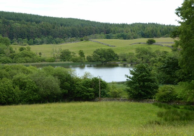
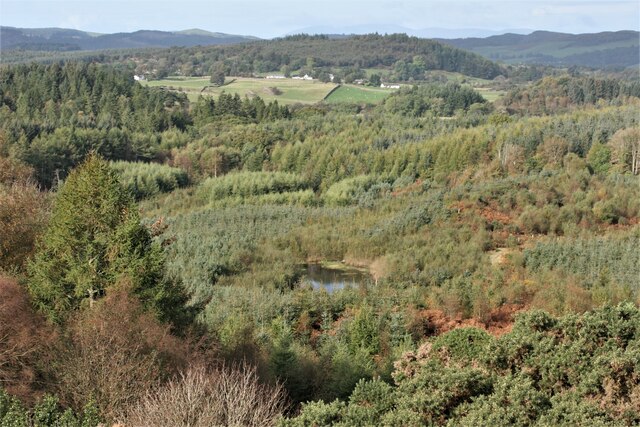
Black Loch is a picturesque freshwater loch located in Kirkcudbrightshire, Scotland. Nestled amidst the rolling hills and lush greenery, this natural wonder spans an area of approximately 50 acres, making it a popular destination for nature enthusiasts and outdoor lovers.

The loch is characterized by its calm and tranquil waters, which are surrounded by a diverse array of plant and animal life. The surrounding landscape is predominantly composed of dense woodlands and marshy areas, providing a habitat for a wide range of bird species, including ducks, swans, and herons. The loch is also home to various freshwater fish species, such as pike and perch, making it a popular spot for fishing enthusiasts.

Visitors to Black Loch can enjoy a variety of recreational activities. The calm waters make it ideal for boating and kayaking, allowing visitors to explore the loch at their own pace. Fishing is also a popular activity, with many anglers trying their luck to catch the abundant fish that inhabit the loch. Additionally, the tranquil surroundings provide opportunities for peaceful walks and picnics along the loch's shores.

Black Loch is not only a haven for wildlife and outdoor activities but also offers breathtaking views throughout the year. In spring, the loch is adorned with vibrant blooms of wildflowers, creating a colorful and picturesque scene. During autumn, the surrounding trees showcase an array of warm hues, captivating visitors with their beauty.

Overall, Black Loch is a captivating natural treasure in Kirkcudbrightshire, offering visitors a serene and scenic experience amidst its lush surroundings.

If you have any feedback on the listing, please let us know in the comments section below.
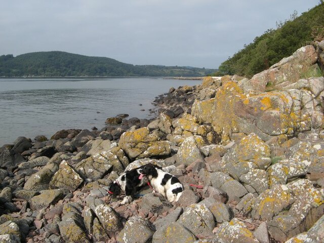
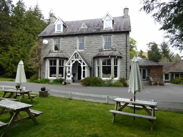
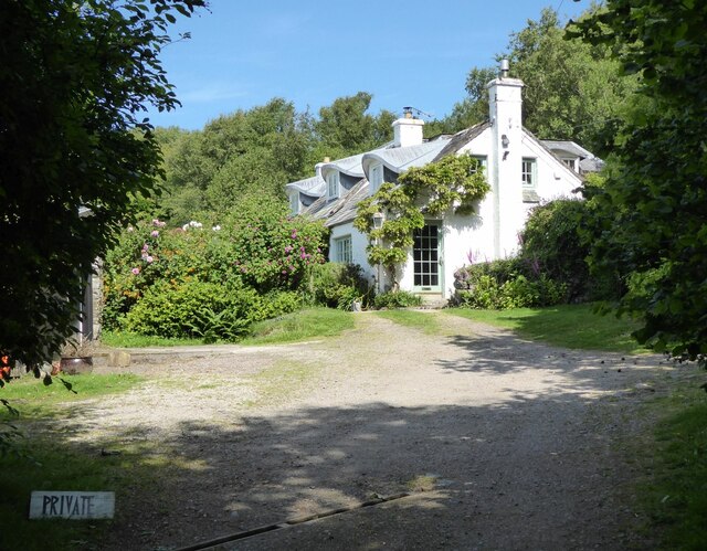
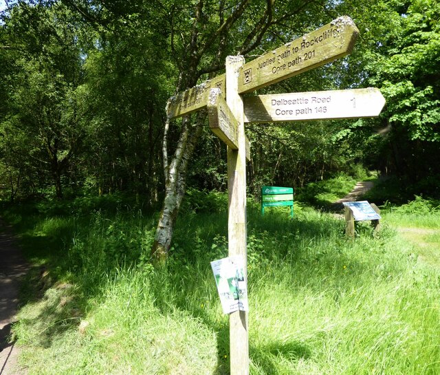
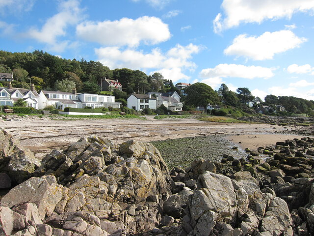
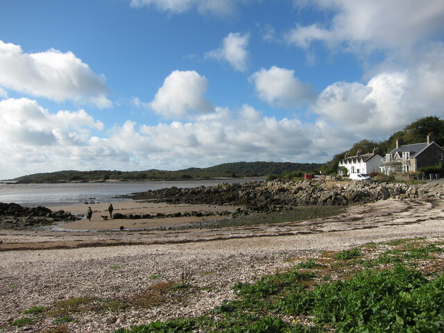
Black Loch Images

Images are sourced within 2km of 54.87084/-3.7736781 or Grid Reference NX8654. Thanks to Geograph Open Source API. All images are credited.

Granite outcrop shore The shore here comprises solid granite outcrop, albeit fissured and jointed. Where the rock is clean and free of colourful lichen, the granite has a pronounced red tint which is characteristic of the southern, marginal part of the large intrusive mass.
Granite outcrop shore
The shore here comprises solid granite outcrop, albeit fissured and jointed. Where the rock is clean and free of colourful lichen, the granite has a pronounced red tint which is characteristic of the southern, marginal part of the large intrusive mass.
Clonyard Hotel 'Clonyard Hotel is a small, friendly, family run hotel located in the heart of Dumfries and Galloway. Situated on seven acres of beautiful mature gardens and woodlands, Clonyard offers the perfect location to escape from the hussle and bussle of daily life.' <span class="nowrap"><a title="https://www.clonyardhotel.co.uk/" rel="nofollow ugc noopener" href="https://www.clonyardhotel.co.uk/">Link</a><img style="margin-left:2px;" alt="External link" title="External link - shift click to open in new window" src="https://s1.geograph.org.uk/img/external.png" width="10" height="10"/></span>
Clonyard Hotel
'Clonyard Hotel is a small, friendly, family run hotel located in the heart of Dumfries and Galloway. Situated on seven acres of beautiful mature gardens and woodlands, Clonyard offers the perfect location to escape from the hussle and bussle of daily life.' LinkExternal link
Clonyard Loch In the hollow below Clonyard Hotel.
Clonyard Loch
In the hollow below Clonyard Hotel.
Looking across the bay at Rockcliffe To the houses at Port Donnel.
Looking across the bay at Rockcliffe
To the houses at Port Donnel.
Challenging site with development potential! Solid foundations and close to the sea.
Challenging site with development potential!
Solid foundations and close to the sea.
View from Rockcliffe Past Rough Island to Hestan Island on the horizon.
View from Rockcliffe
Past Rough Island to Hestan Island on the horizon.
Mote Cottage  On the track between Kippford and Rockcliffe.
Mote Cottage
On the track between Kippford and Rockcliffe.
On the Jubilee Path to Kippford Not Queen Elizabeth's recent jubilee but a path to commemorate the Diamond Jubilee of Queen Victoria.
On the Jubilee Path to Kippford
Not Queen Elizabeth's recent jubilee but a path to commemorate the Diamond Jubilee of Queen Victoria.
In Rockliffe Heading for Castlehill Point.
In Rockliffe
Heading for Castlehill Point.
Colvend Parish Church An Early Christian church by P MacGregor Chalmers 1911, of granite with red sandstone dressings and set on a rise overlooking the Solway Firth. Its bell-tower is topped by a steep pyramid roof.
Colvend Parish Church
An Early Christian church by P MacGregor Chalmers 1911, of granite with red sandstone dressings and set on a rise overlooking the Solway Firth. Its bell-tower is topped by a steep pyramid roof.
Colvend House Just to the left of the house, through a gap between the trees, is White Loch.
Colvend House
Just to the left of the house, through a gap between the trees, is White Loch.
Whinney Knowe, Rockcliffe A smart sea front house on the shore road, overlooking Port Donnell. I stayed there about 40+ years ago, with another family; it is the daughter of that family who took this photo and remembered it well! Apparently it is still available to let, according to an undated website, but with no details.
Whinney Knowe, Rockcliffe
A smart sea front house on the shore road, overlooking Port Donnell. I stayed there about 40+ years ago, with another family; it is the daughter of that family who took this photo and remembered it well! Apparently it is still available to let, according to an undated website, but with no details.
Beach at Rockcliffe A fine August day and not a soul on the beach or the benches overlooking the bay.
Beach at Rockcliffe
A fine August day and not a soul on the beach or the benches overlooking the bay.
Rough Firth
Rough Firth
Low tide at Rockcliffe
View from Rockcliffe
Smithland Loch Seen from Barcloy Hill.
Smithland Loch
Seen from Barcloy Hill.
Rockpool at Port o' Warren Bay
Show me another place!

Black Loch is located at Grid Ref: NX8654 (Lat: 54.87084, Lng: -3.7736781)

Unitary Authority: Dumfries and Galloway

Police Authority: Dumfries and Galloway

What 3 Words

///talkative.crossword.crowd. Near Dalbeattie, Dumfries & Galloway

Related Wikis

Colvend and Southwick

Colvend and Southwick is a community council area and civil parish within the Stewartry area of Dumfries and Galloway, Scotland. It is also part of the...

Rough Island, Scotland

"Rough Island" is also used as a translation of "Garbh Eilean", a common Scottish name for islandsRough Island is a 20-acre (8 ha) uninhabited tidal island...

Rockcliffe, Dumfries and Galloway

Rockcliffe is a small, coastal village in Kirkcudbrightshire, Dumfries and Galloway in Scotland, with a view of Rough Island, Hestan Island, the Solway...

Kippford

Kippford (/ˈkɪpfəd/; otherwise Scaur) is a small village along the Solway coast, in the historic county of Kirkcudbrightshire in Dumfries and Galloway...

Nearby Amenities

Located within 500m of 54.87084,-3.7736781
Bus Stop
Road End
Bus: yes
Naptan AtcoCode: 680000790111
Naptan Bearing: NE
Naptan BusStopType: CUS
Naptan CommonName: Road End
Naptan Indicator: A710
Naptan Landmark: A710
Naptan NaptanCode: 34238282
Naptan Notes: none
Naptan Street: C23
Naptan Verified: no
Public Transport: platform
Source: naptan_import
Lat/Long: 54.8717998/-3.7690481
Bus Stop
Road End
Bus: yes
Naptan AtcoCode: 680000790222
Naptan Bearing: SW
Naptan BusStopType: CUS
Naptan CommonName: Road End
Naptan Indicator: A710
Naptan Landmark: A710
Naptan NaptanCode: 34238279
Naptan Notes: none
Naptan Street: C23
Naptan Verified: no
Public Transport: platform
Source: naptan_import
Lat/Long: 54.8717482/-3.76889
Seamark Landmark Function: church
Seamark Type: landmark
Lat/Long: 54.8697801/-3.7754521
Power: pole
Lat/Long: 54.8668715/-3.7710361
Power: pole
Lat/Long: 54.8668215/-3.7724851
Power: pole
Lat/Long: 54.8667629/-3.7740613
Power: pole
Lat/Long: 54.8667104/-3.7756206
Power: pole
Lat/Long: 54.8676278/-3.7761392
Power: pole
Lat/Long: 54.8717113/-3.7661494
Power: pole
Lat/Long: 54.8712926/-3.7672164
Power: pole
Lat/Long: 54.8708507/-3.7682517
Power: pole
Lat/Long: 54.871201/-3.7691661
Power: pole
Lat/Long: 54.8715599/-3.7700974
Power: pole
Lat/Long: 54.8720299/-3.7708462
Power: pole
Lat/Long: 54.8726475/-3.7717563
The data included in this document is from www.openstreetmap.org. The data is made available under ODbL.

Have you been to Black Loch?

Leave your review of Black Loch below (or comments, questions and feedback).