Black Loch

Lake, Pool, Pond, Freshwater Marsh in Stirlingshire

Scotland

Black Loch

Long grass and heather moor Roofs of Whiteside on left and ruins of original Wester Whin on right
Long grass and heather moor Credit: Jim Smillie

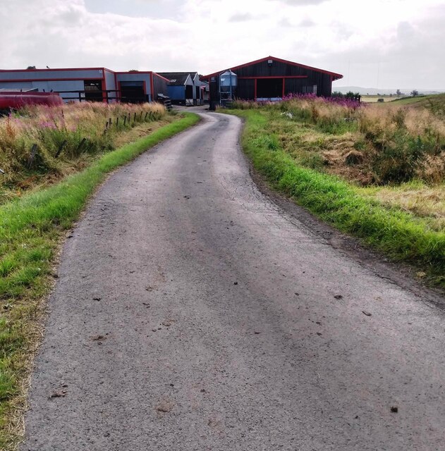
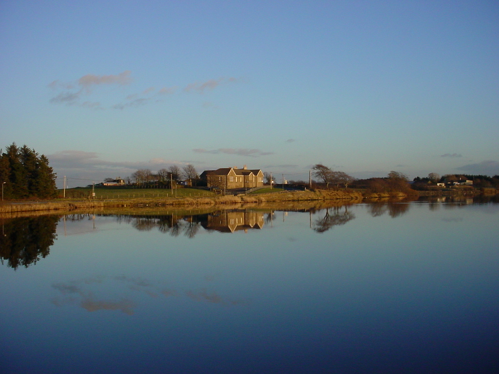
Black Loch is a picturesque freshwater loch located in Stirlingshire, Scotland. Covering an area of approximately 55 acres, it is nestled within the scenic surroundings of the Black Loch Wood and is known for its natural beauty and abundant wildlife.

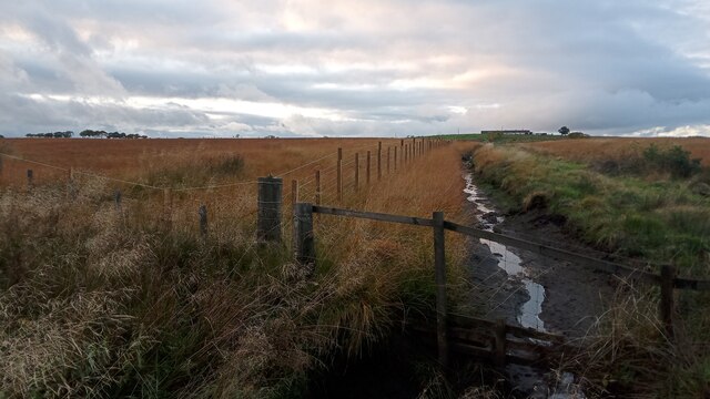
The loch is fed by several small streams and springs, ensuring a constant flow of freshwater throughout the year. Its depth varies, with an average depth of around 10 feet, reaching a maximum depth of approximately 20 feet. The water is clear and relatively still, reflecting the surrounding landscape and offering a tranquil atmosphere.

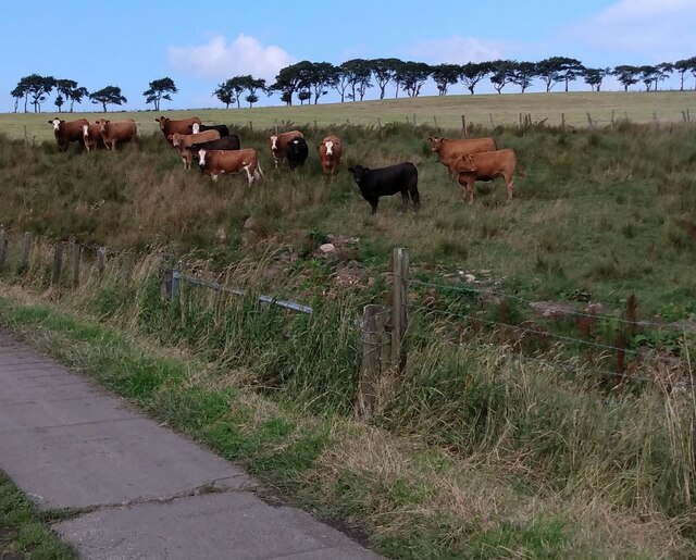
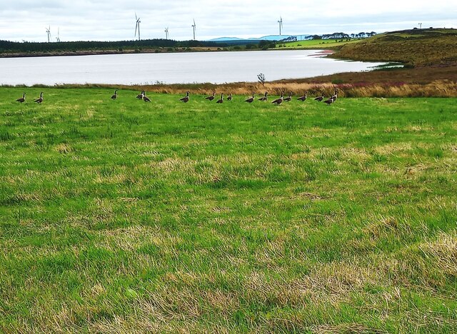
Surrounded by dense woodlands, Black Loch provides a diverse habitat for numerous plant and animal species. The loch is particularly renowned for its birdlife, attracting a variety of species including herons, swans, ducks, and grebes. Birdwatchers often visit the area to observe and document the different species that inhabit the loch.

The surrounding woodlands are home to a variety of trees, including oak, birch, and pine, creating a rich and vibrant ecosystem. The loch and its surroundings also support a diverse range of flora, such as water lilies, reeds, and rushes, which provide shelter and food for various aquatic species.

The tranquil nature of Black Loch makes it a popular destination for outdoor enthusiasts. Visitors can enjoy activities such as fishing, boating, and walking along the loch's shores. The loch is well-stocked with fish, including brown trout and perch, providing opportunities for anglers to cast their lines and enjoy a day of fishing.

Overall, Black Loch in Stirlingshire offers a serene and picturesque setting, showcasing the natural beauty and biodiversity of the Scottish countryside.

If you have any feedback on the listing, please let us know in the comments section below.
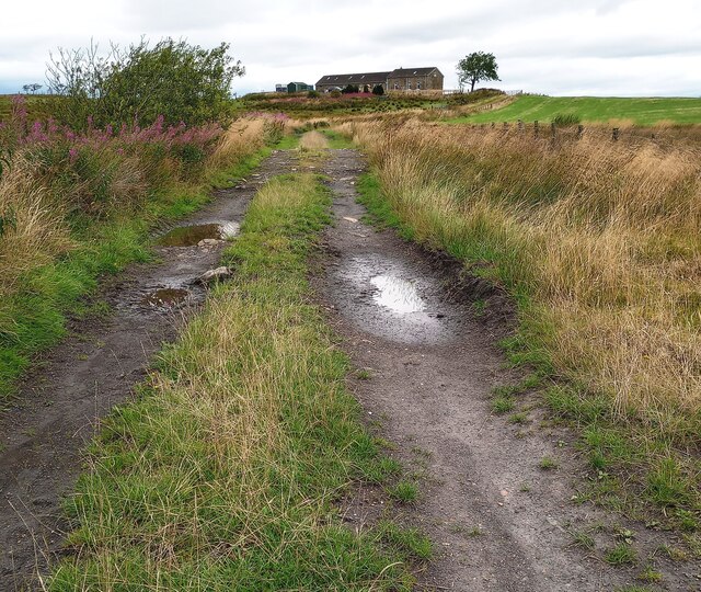
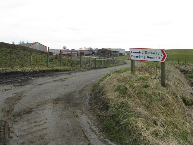
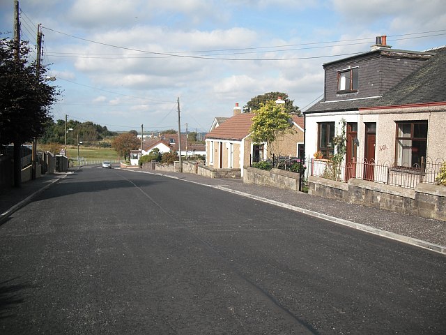
Black Loch Images

Images are sourced within 2km of 55.909609/-3.8238551 or Grid Reference NS8670. Thanks to Geograph Open Source API. All images are credited.

Long grass and heather moor Roofs of Whiteside on left and ruins of original Wester Whin on right
Long grass and heather moor
Roofs of Whiteside on left and ruins of original Wester Whin on right
Wester Whin Th ruin of the original Wester Whin is just to the south
Compare <a href="https://www.geograph.org.uk/photo/416219">NS8668 : Wester Whin Farm</a>
Wester Whin
Th ruin of the original Wester Whin is just to the south Compare NS8668 : Wester Whin Farm
Spot the odd one out Only one of these cows is not looking at the camera
Spot the odd one out
Only one of these cows is not looking at the camera
North Calder Water Boundary of North Lanarkshire and Falkirk Council areas at this point
North Calder Water
Boundary of North Lanarkshire and Falkirk Council areas at this point
Bridge: North Calder Water View from Falkirk Council area to North Lanarkshire
Bridge: North Calder Water
View from Falkirk Council area to North Lanarkshire
View to dead tree Lots of others have been planted to replace it
View to dead tree
Lots of others have been planted to replace it
View to Easter Whin Lots of rough pasture between the road and farm buildings
View to Easter Whin
Lots of rough pasture between the road and farm buildings
Inquisitive Highlander Lots of peat in this corner of the field
Inquisitive Highlander
Lots of peat in this corner of the field
Drain seen from County Boundary The drain approaches here from the rough direction of Easter Whin, the farm on the right of the picture. It flows into Drumtassie Burn (unseen and directly below camera), which at this point, even after a fair amount of recent rain, is more of a dribble and far less substantial than the drain itself.
Drumtassie Burn, which rises from the boggy ground less than a mile West of here,  marks the boundary between West Lothian and the Falkirk council area (which, confusingly, is officially just called Falkirk, like the town) for its entire length - though it gets renamed Lin Mill Burn a couple of miles downstream - until it reaches the River Avon.
The picture was taken standing in West Lothian, but everything in shot is in Falkirk.
Drain seen from County Boundary
The drain approaches here from the rough direction of Easter Whin, the farm on the right of the picture. It flows into Drumtassie Burn (unseen and directly below camera), which at this point, even after a fair amount of recent rain, is more of a dribble and far less substantial than the drain itself. Drumtassie Burn, which rises from the boggy ground less than a mile West of here, marks the boundary between West Lothian and the Falkirk council area (which, confusingly, is officially just called Falkirk, like the town) for its entire length - though it gets renamed Lin Mill Burn a couple of miles downstream - until it reaches the River Avon. The picture was taken standing in West Lothian, but everything in shot is in Falkirk.
Geese on the ground A flock of Canada Geese in a field just west of Black Loch
Geese on the ground
A flock of Canada Geese in a field just west of Black Loch
Waste heap on moorland Identified on 1910 map as Lochend Colliery (Pit No 4)
Waste heap on moorland
Identified on 1910 map as Lochend Colliery (Pit No 4)
Track near Lochend Old maps show various dwellings names Lochend on this side of Black Loch
Track near Lochend
Old maps show various dwellings names Lochend on this side of Black Loch
Black Loch from the air By the B825 road, on the outskirts of Limerigg.
Black Loch from the air
By the B825 road, on the outskirts of Limerigg.
The North Calder Water at Wester Whin The boundary between Falkirk [left] and West Lothian [right].
The North Calder Water at Wester Whin
The boundary between Falkirk [left] and West Lothian [right].
Barn and gate at Wester Whin Part of an industrial and agricultural contractor's base.
Barn and gate at Wester Whin
Part of an industrial and agricultural contractor's base.
Stewart at Wester Whin Agricultural and building contractor's base at Wester Whin.
Stewart at Wester Whin
Agricultural and building contractor's base at Wester Whin.
North Calder Water near Wester Whin The march between Falkirk [left] and West Lothian [right].
North Calder Water near Wester Whin
The march between Falkirk [left] and West Lothian [right].
The end of the road at Wester Whin And the way to a country getaway.
The end of the road at Wester Whin
And the way to a country getaway.
Show me another place!

Black Loch is located at Grid Ref: NS8670 (Lat: 55.909609, Lng: -3.8238551)

Unitary Authority: Falkirk

Police Authority: Forth Valley

What 3 Words

///minds.stubble.mailers. Near Slamannan, Falkirk

Nearby Locations

Black Loch

Related Wikis

Black Loch

The Black Loch is a small freshwater loch or reservoir in the Falkirk council area, Scotland. It is near the village of Limerigg and close to the boundary...

Limerigg

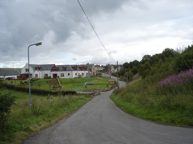
Limerigg is a village in the Falkirk council area of Scotland. It lies on the B825 road between Slamannan and Caldercruix surrounded by extensive woodlands...

Binniehill

Binniehill is a village in Falkirk, Scotland. The name is a tautology, with "binnie" coming from Scottish Gaelic "binnean" meaning a small hill. ��2�...

Slamannan railway station

Slamannan railway station served the village of Slamannan, Falkirk, Scotland, from 1840 to 1930 on the Slamannan Railway. == History == The station was...

Forrestfield railway station, NBR

Forrestfield railway station served the settlement of Forrestfield, North Lanarkshire, Scotland from 1862 to 1930 on the Bathgate and Coatbridge Railway...

Blawhorn Moss

Blawhorn Moss is a raised bog located to the northwest of the village of Blackridge, about 6 kilometres (3.7 mi) west of Armadale in the council area of...

A89 road

The A89 is a trunk road in Scotland, United Kingdom. It runs from High Street, Glasgow to Newbridge in Edinburgh. It was once the A8, which has now been...

Forrestfield, North Lanarkshire

Forrestfield is a small settlement in North Lanarkshire, Scotland. It is located on the A89 road, 3 kilometres (1.9 mi) east of Caldercruix and 4 kilometres...

Nearby Amenities

Located within 500m of 55.909609,-3.8238551
Blackloch
Place: hamlet
Lat/Long: 55.9127539/-3.8182618
Holehousemuir
Place: isolated_dwelling
Lat/Long: 55.910502/-3.8161161
The data included in this document is from www.openstreetmap.org. The data is made available under ODbL.

Have you been to Black Loch?

Leave your review of Black Loch below (or comments, questions and feedback).