Gorseybank
Settlement in Derbyshire Derbyshire Dales
England
Gorseybank
Gorseybank, located in Derbyshire, England, is a small hamlet surrounded by picturesque countryside. Situated near the town of Belper, it offers a tranquil and idyllic setting for those seeking a peaceful retreat.
The hamlet is characterized by its charming stone cottages, which were constructed in the traditional Derbyshire style, giving the area a distinct architectural appeal. The cottages are nestled amongst lush green fields and rolling hills, providing residents and visitors alike with stunning views of the surrounding landscape.
Despite its small size, Gorseybank boasts a close-knit community that takes pride in its heritage and rural lifestyle. The hamlet is home to a small but welcoming population, known for its friendly and neighborly spirit. Visitors can expect to be greeted with warm smiles and a sense of genuine hospitality.
The immediate vicinity of Gorseybank offers ample opportunities for outdoor activities. The nearby Derwent Valley, a designated Area of Outstanding Natural Beauty, provides extensive walking trails, perfect for exploring the countryside. Additionally, the River Derwent, which runs through the area, offers opportunities for fishing and boating.
For those seeking a taste of history, Gorseybank is conveniently located near several historical landmarks. The UNESCO World Heritage Site of the Derwent Valley Mills, known for its role in the Industrial Revolution, is just a short distance away. Visitors can explore the well-preserved mills and learn about the region's industrial past.
Overall, Gorseybank in Derbyshire offers a charming rural escape, combining natural beauty, community spirit, and historical significance, making it an ideal destination for those seeking a peaceful and authentic English countryside experience.
If you have any feedback on the listing, please let us know in the comments section below.
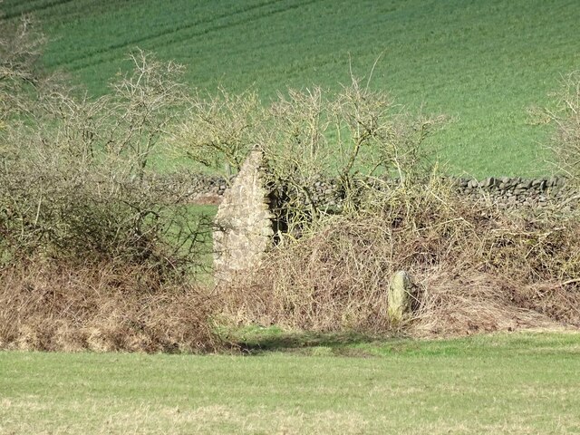
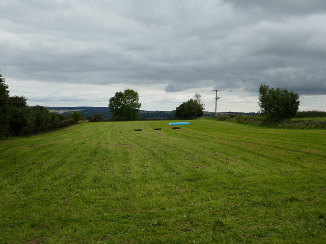
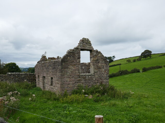
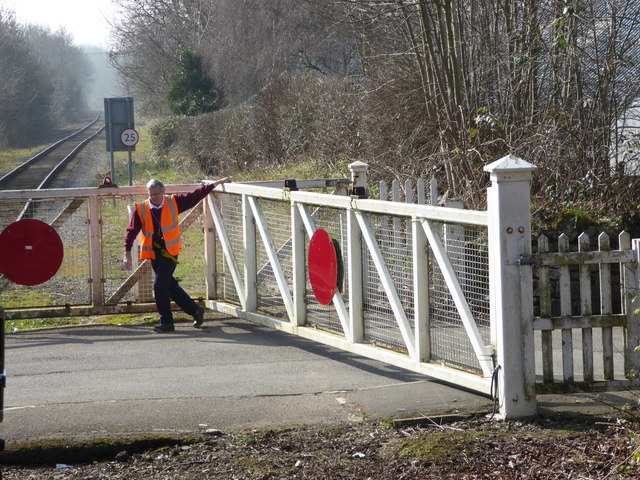
Gorseybank Images
Images are sourced within 2km of 53.073433/-1.568604 or Grid Reference SK2953. Thanks to Geograph Open Source API. All images are credited.


Gorseybank is located at Grid Ref: SK2953 (Lat: 53.073433, Lng: -1.568604)
Administrative County: Derbyshire
District: Derbyshire Dales
Police Authority: Derbyshire
What 3 Words
///pounces.comically.towel. Near Wirksworth, Derbyshire
Nearby Locations
Related Wikis

Anthony Gell School
Anthony Gell School is a coeducational secondary school and sixth form located in Wirksworth in the English county of Derbyshire.It began as a Free Grammar...

Breamfield
Breamfield is a hamlet in Derbyshire, England. It is located 1 mile south-east of Wirksworth.
Derby Road Ground
Derby Road Ground is a cricket ground in Wirksworth, Derbyshire. The first recorded match on the ground was in 1866, when Wirksworth played an All-England...

Haarlem Mill
Haarlem Mill, on the River Ecclesbourne in Wirksworth, Derbyshire, was an early cotton mill. Built by Richard Arkwright, it was the first cotton mill in...

Wirksworth
Wirksworth is a market town in the Derbyshire Dales district of Derbyshire, England. Its population of 4,904 in the 2021 census was estimated at 5,220...

St Mary's Church, Wirksworth
St Mary the Virgin is a parish church in the Church of England in Wirksworth, Derbyshire. It is a Grade I listed building. The existing building dates...
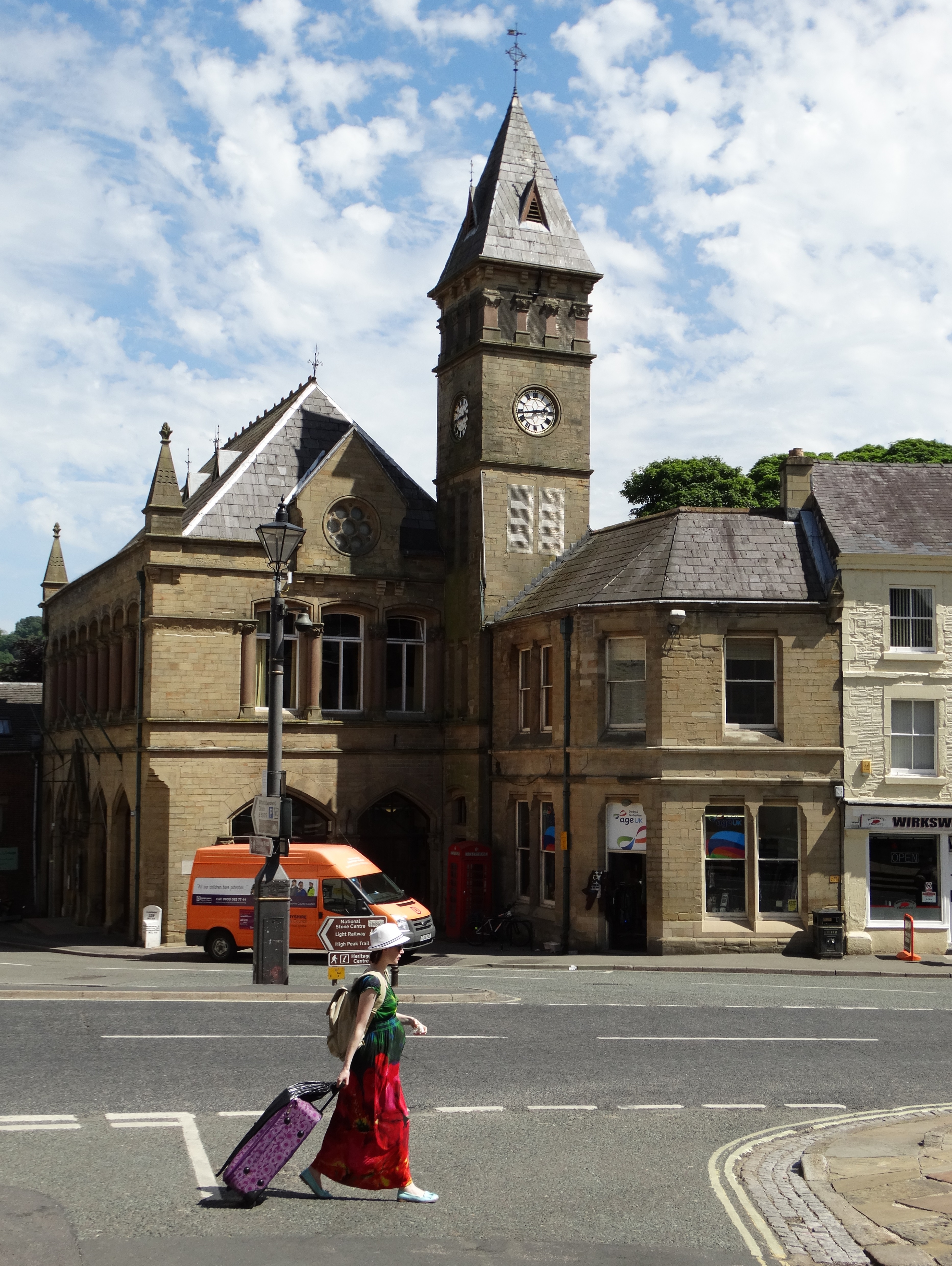
Wirksworth Town Hall
Wirksworth Town Hall is a municipal building in Coldwell Street, Wirksworth, Derbyshire, England. The town hall, which was the headquarters of Wirksworth...

Wirksworth railway station
Wirksworth Railway Station is a heritage railway station that serves the town of Wirksworth in Derbyshire. It was the former terminus of the Midland Railway...
Nearby Amenities
Located within 500m of 53.073433,-1.568604Have you been to Gorseybank?
Leave your review of Gorseybank below (or comments, questions and feedback).