Lochan Geal
Lake, Pool, Pond, Freshwater Marsh in Inverness-shire
Scotland
Lochan Geal
The requested URL returned error: 429 Too Many Requests
If you have any feedback on the listing, please let us know in the comments section below.
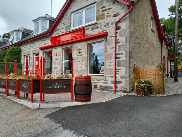
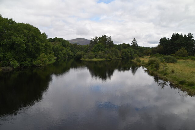
Lochan Geal Images
Images are sourced within 2km of 57.129352/-3.8979344 or Grid Reference NH8505. Thanks to Geograph Open Source API. All images are credited.


Lochan Geal is located at Grid Ref: NH8505 (Lat: 57.129352, Lng: -3.8979344)
Unitary Authority: Highland
Police Authority: Highlands and Islands
What 3 Words
///surprise.dreamers.fanfare. Near Aviemore, Highland
Nearby Locations
Related Wikis

Dalnavert, Highland
Dalnavert (Scottish Gaelic Dail nam Feart) is a small rural hamlet, that lies 4 miles northeast of Insh, and 8 miles northeast of Kingussie, in the...

River Feshie
The River Feshie (Scottish Gaelic: Fèisidh / Abhainn Fhèisidh) is a major right bank tributary of the River Spey in north-east Scotland. It rises in the...
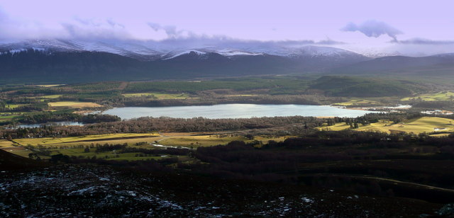
Loch Insh
Loch Insh is a loch in Highlands region, Scotland. It is situated in the heart of Badenoch and Strathspey, seven miles south of Aviemore and seven miles...
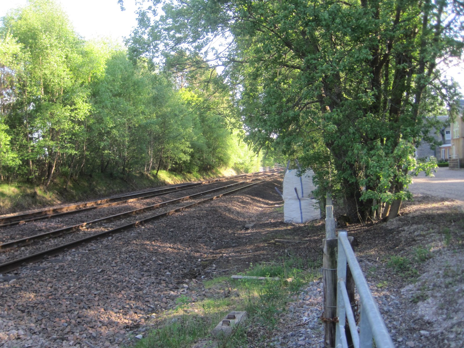
Kincraig railway station
Kincraig railway station served the village of Kincraig, Highland, Scotland from 1863 to 1965 on the Inverness and Perth Junction Railway. == History... ==
Nearby Amenities
Located within 500m of 57.129352,-3.8979344Have you been to Lochan Geal?
Leave your review of Lochan Geal below (or comments, questions and feedback).