Gorsedd

Settlement in Flintshire

Wales

Gorsedd

Giat ar batrwm croes / A cross-barred gate
Giat ar batrwm croes / A cross-barred gate Credit: Ceri Thomas

The requested URL returned error: 429 Too Many Requests

If you have any feedback on the listing, please let us know in the comments section below.
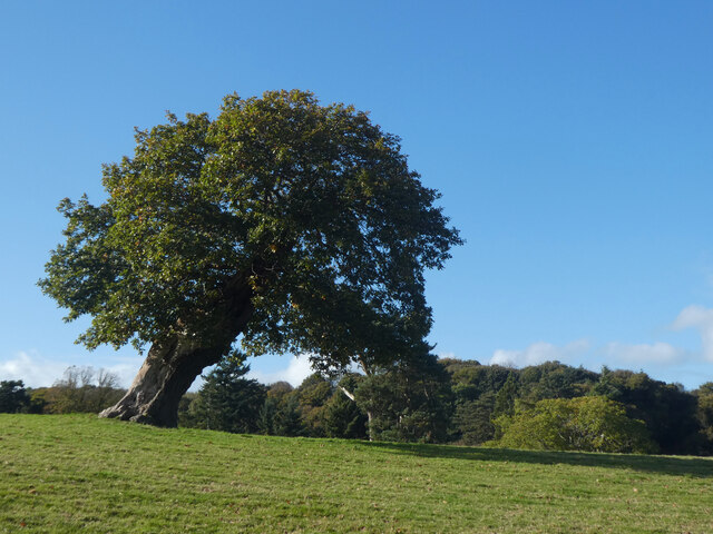
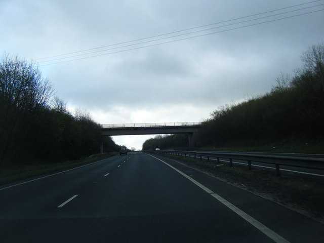
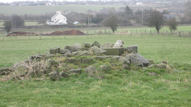
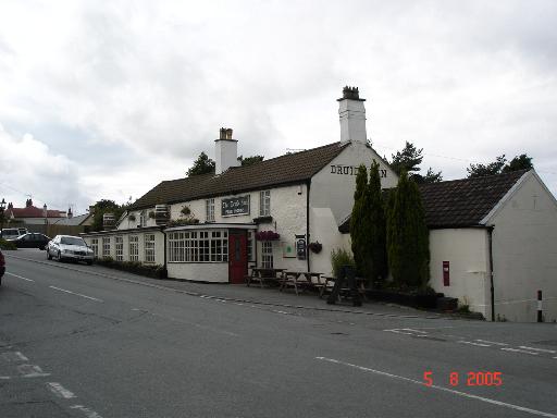
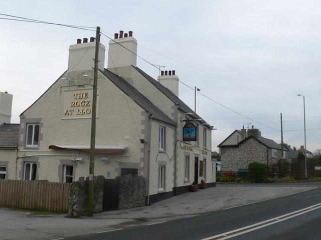
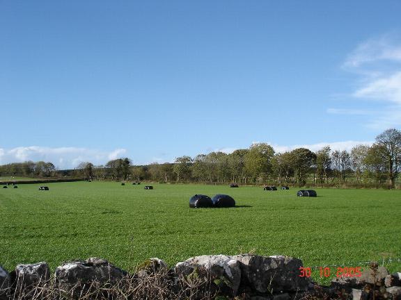
Gorsedd Images

Images are sourced within 2km of 53.281271/-3.272907 or Grid Reference SJ1576. Thanks to Geograph Open Source API. All images are credited.

Giat ar batrwm croes / A cross-barred gate
Derwen ar ogwydd / A leaning oak
A55 eastbound near Gorsedd
A55 near Pantasaph
A55 near Pantasaph
Pant Y Wacco Welcome to Pant Y Wacco, just off the A5026 near Gorsedd.
Pant Y Wacco
Welcome to Pant Y Wacco, just off the A5026 near Gorsedd.
Pasture land between Whitford and Holywell Typical scene for this area.  In the near distance to the left is Pennant Park Golf Club, to the right Highbrook,far centre - a view across the Dee Estuary to The Wirral
Pasture land between Whitford and Holywell
Typical scene for this area. In the near distance to the left is Pennant Park Golf Club, to the right Highbrook,far centre - a view across the Dee Estuary to The Wirral
Upper Downing Hall Once part of a country estate, recently a nursing home, now boarded up.  An abandoned wheelchair and walking frame on the forecourt were a poignant reminder of this building's last residents
Upper Downing Hall
Once part of a country estate, recently a nursing home, now boarded up. An abandoned wheelchair and walking frame on the forecourt were a poignant reminder of this building's last residents
Pond in grazing land North East of Whitford
Pond in grazing land
North East of Whitford
A5026 at Holywell Tyres
A5026 north of Gorsedd
A5026 looking to the Dee estuary and Liverpool beyond
A5026 at Carmel village boundary
10th Tee Pennant Park Golf Course A little gem of a course.
10th Tee Pennant Park Golf Course
A little gem of a course.
12th Tee Pennant Park Golf Course Mostyn Dock is just visible to the right.
12th Tee Pennant Park Golf Course
Mostyn Dock is just visible to the right.
The remains of the Holywell Racecourse Grandstand I believe that the wood and stone structure was evident until a few years ago but all that is left is a couple of piles of stones.
The remains of the Holywell Racecourse Grandstand
I believe that the wood and stone structure was evident until a few years ago but all that is left is a couple of piles of stones.
Lloc village sign on the A5026
Gate into farmland and a fantastic view over The Wirral and a distant Liverpool
Narrow lane to Pennant Park golf club Mertyn
Show me another place!

Gorsedd is located at Grid Ref: SJ1576 (Lat: 53.281271, Lng: -3.272907)

Unitary Authority: Flintshire

Police Authority: North Wales

What 3 Words

///until.shelving.simulator. Near Whitford, Flintshire

Nearby Locations

Gorsedd

Related Wikis

Gorsedd, Flintshire

Gorsedd is a village in Flintshire, Wales, in the community of Whitford, with a population of 391 in the 2011 census. == References ==

Lloc

Lloc is a small village in Flintshire, north Wales. It is located within the community of Whitford. It lies north of the Clwydian Range, just east of the...

Pantasaph

Pantasaph is a small village in Flintshire, north-east Wales, two miles south of Holywell in the community of Whitford. Its name translates into English...

Church of St Beuno and St Mary

The Church of St Beuno and St Mary is a Grade I listed church in Whitford, overlooking the estuary of the river Dee. The church has a well preserved late...

Nearby Amenities

Located within 500m of 53.281271,-3.272907
Turning Circle
Lat/Long: 53.2783766/-3.2707129
Turning Circle
Lat/Long: 53.2795067/-3.2788739
Gorsedd
Place: village
Wikidata: Q13128715
Lat/Long: 53.2806828/-3.2735618
Tumulus
Archaeological Site: tumulus
Historic: archaeological_site
Lat/Long: 53.2807599/-3.2803653
Y Gorseddau Tumulus 1
Archaeological Site: tumulus
Historic: archaeological_site
Lat/Long: 53.2797727/-3.2776444
Power: pole
Lat/Long: 53.2850397/-3.2716613
Power: pole
Lat/Long: 53.2839219/-3.2705845
Power: pole
Lat/Long: 53.2844134/-3.2710632
Power: pole
Lat/Long: 53.283487/-3.2708483
Turning Circle
Lat/Long: 53.2787045/-3.272461
Disused: yes
Man Made: mineshaft
Lat/Long: 53.280781/-3.275202
Disused: yes
Man Made: mineshaft
Lat/Long: 53.2808346/-3.2760858
Direction: 185
Generator Method: photovoltaic
Generator Output Electricity: yes
Generator Solar Modules: 12
Generator Source: solar
Generator Type: solar_photovoltaic_panel
Location: roof
Power: generator
Lat/Long: 53.2797739/-3.2712283
Direction: 185
Generator Method: photovoltaic
Generator Output Electricity: yes
Generator Solar Modules: 16
Generator Source: solar
Generator Type: solar_photovoltaic_panel
Location: roof
Power: generator
Lat/Long: 53.2797714/-3.2709185
Direction: S
Generator Method: photovoltaic
Generator Output Electricity: yes
Generator Solar Modules: 14
Generator Source: solar
Generator Type: solar_photovoltaic_panel
Location: roof
Power: generator
Lat/Long: 53.2789338/-3.2716193
Crossing
Lat/Long: 53.2783598/-3.2708057
Man Made: mineshaft
Lat/Long: 53.2806084/-3.2797816
Man Made: mineshaft
Lat/Long: 53.2805446/-3.2796624
Man Made: mineshaft
Lat/Long: 53.2803407/-3.2782952
Y Gorseddau Tumulus 2
Archaeological Site: tumulus
Historic: archaeological_site
Lat/Long: 53.2794275/-3.276943
Tumulus
Archaeological Site: tumulus
Historic: archaeological_site
Historic Civilization: iron-age
Lat/Long: 53.2808332/-3.2769472
Man Made: mineshaft
Lat/Long: 53.2806013/-3.276596
Man Made: mineshaft
Lat/Long: 53.2818454/-3.2754658
Man Made: mineshaft
Lat/Long: 53.281928/-3.2763578
Man Made: mineshaft
Lat/Long: 53.2824734/-3.2769975
Man Made: mineshaft
Lat/Long: 53.282173/-3.2797909
Man Made: mineshaft
Lat/Long: 53.2824447/-3.2795211
Man Made: mineshaft
Lat/Long: 53.2825882/-3.2793804
Man Made: mineshaft
Lat/Long: 53.2827329/-3.2792879
Man Made: mineshaft
Lat/Long: 53.2821299/-3.2790081
Man Made: mineshaft
Lat/Long: 53.2823141/-3.2796687
Man Made: mineshaft
Lat/Long: 53.2821688/-3.2801292
Man Made: mineshaft
Lat/Long: 53.2819414/-3.2801021
Direction: 185
Generator Method: photovoltaic
Generator Output Electricity: yes
Generator Solar Modules: 2
Generator Source: solar
Generator Type: solar_photovoltaic_panel
Location: roof
Power: generator
Lat/Long: 53.2786529/-3.270795
Direction: 195
Generator Method: photovoltaic
Generator Output Electricity: yes
Generator Solar Modules: 16
Generator Source: solar
Generator Type: solar_photovoltaic_panel
Location: roof
Power: generator
Lat/Long: 53.2816927/-3.2778686
Direction: 185
Generator Method: photovoltaic
Generator Output Electricity: yes
Generator Solar Modules: 12
Generator Source: solar
Generator Type: solar_photovoltaic_panel
Location: roof
Power: generator
Lat/Long: 53.2786385/-3.2706562
Direction: SSW
Generator Method: photovoltaic
Generator Output Electricity: yes
Generator Solar Modules: 8
Generator Source: solar
Generator Type: solar_photovoltaic_panel
Location: roof
Power: generator
Lat/Long: 53.2811824/-3.272183
Direction: SSW
Generator Method: photovoltaic
Generator Output Electricity: yes
Generator Solar Modules: 6
Generator Source: solar
Generator Type: solar_photovoltaic_panel
Location: roof
Power: generator
Lat/Long: 53.2812076/-3.2722682
Direction: SSW
Generator Method: photovoltaic
Generator Output Electricity: yes
Generator Solar Modules: 18
Generator Source: solar
Generator Type: solar_photovoltaic_panel
Location: roof
Power: generator
Lat/Long: 53.2804555/-3.2724184
Direction: 145
Generator Method: photovoltaic
Generator Output Electricity: yes
Generator Solar Modules: 16
Generator Source: solar
Generator Type: solar_photovoltaic_panel
Location: roof
Power: generator
Lat/Long: 53.2788406/-3.2739311
Direction: 185
Generator Method: photovoltaic
Generator Output Electricity: yes
Generator Solar Modules: 15
Generator Source: solar
Generator Type: solar_photovoltaic_panel
Location: roof
Power: generator
Lat/Long: 53.279094/-3.2759857
Direction: 185
Generator Method: photovoltaic
Generator Output Electricity: yes
Generator Solar Modules: 12
Generator Source: solar
Generator Type: solar_photovoltaic_panel
Location: roof
Power: generator
Lat/Long: 53.2789885/-3.2760052
Stop
Direction: forward
Stop: minor
Lat/Long: 53.2817195/-3.2715222
Give Way
Direction: backward
Lat/Long: 53.2816522/-3.2715403
Post Box
Operator: Royal Mail
Ref: CH8 37D
Lat/Long: 53.2800544/-3.2723768
The data included in this document is from www.openstreetmap.org. The data is made available under ODbL.

Have you been to Gorsedd?

Leave your review of Gorsedd below (or comments, questions and feedback).