Nant-dolgoch
Lake, Pool, Pond, Freshwater Marsh in Denbighshire
Wales
Nant-dolgoch

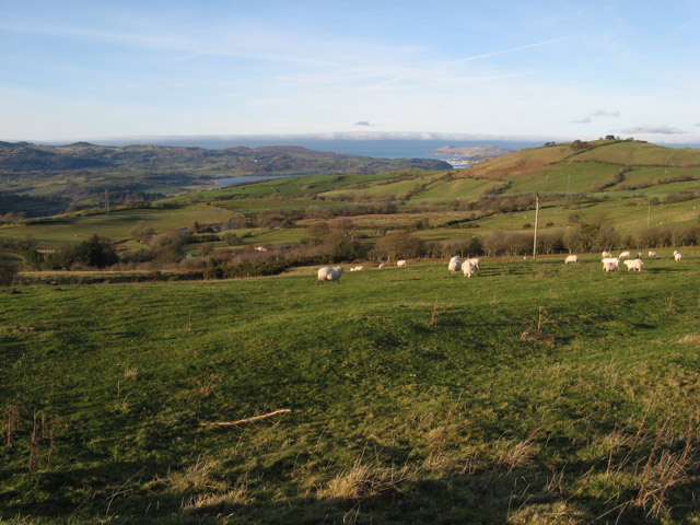
Nant-dolgoch is a picturesque freshwater marsh located in Denbighshire, Wales. Situated in the heart of the beautiful countryside, it is a popular destination for nature enthusiasts and those seeking tranquility amidst breathtaking scenery.
The marsh is bordered by rolling hills and lush woodlands, creating a stunning backdrop for the crystal-clear lake that dominates the area. The lake itself is a small, shallow body of water, encompassing an area of approximately 2 hectares. It is fed by a natural spring, ensuring a constant flow of fresh water throughout the year.
Surrounding the lake, there are patches of reeds and various aquatic plants, creating a diverse ecosystem that supports a wide range of flora and fauna. The marsh is home to numerous bird species, including mallards, coots, and herons, making it a paradise for birdwatchers. Visitors can often spot these graceful creatures gracefully gliding across the water or nesting among the reeds.
The marsh is accessible via a well-maintained footpath that winds its way through the surrounding woodlands. This path offers visitors a chance to explore the area at their leisure, with opportunities for hiking, picnicking, and photography along the way. The peaceful ambiance of Nant-dolgoch makes it an ideal spot for relaxation and contemplation, with benches strategically placed to provide a serene resting place.
Overall, Nant-dolgoch is a hidden gem in Denbighshire, offering visitors a unique opportunity to immerse themselves in the beauty of nature. Whether it's observing the diverse wildlife, enjoying a leisurely stroll, or simply appreciating the tranquility of the surroundings, this freshwater marsh is a must-visit destination for nature lovers.
If you have any feedback on the listing, please let us know in the comments section below.
Nant-dolgoch Images
Images are sourced within 2km of 53.212922/-3.7346709 or Grid Reference SH8469. Thanks to Geograph Open Source API. All images are credited.


Nant-dolgoch is located at Grid Ref: SH8469 (Lat: 53.212922, Lng: -3.7346709)
Unitary Authority: Conwy
Police Authority: North Wales
What 3 Words
///grudging.gravitate.valve. Near Llansantffraid Glan Conwy, Conwy
Nearby Locations
Related Wikis

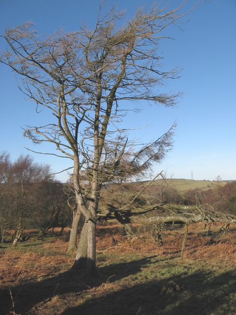
Llyn Ty'n y Llyn
Llyn Ty'n y Llyn is a Site of Special Scientific Interest in the preserved county of Clwyd, north Wales. == See also == List of Sites of Special Scientific...

St John's Church, Trofarth
St John's Church, Trofarth, is a redundant church standing in an isolated position in Conwy County Borough, Wales (grid reference SH857718). It was designated...

Eglwysbach
Eglwysbach is a village and community in Conwy county borough, Wales. The village plays host to an annual Agricultural show and horticultural show in August...

Conwy (UK Parliament constituency)
Conwy (Conway prior to 1983) was an electoral constituency represented in the House of Commons of the Parliament of the United Kingdom. It returned one...
Conwy (Assembly constituency)
Conwy was a constituency of the National Assembly for Wales from 1999 to 2007. It elected one Assembly Member by the first past the post method of election...

Llangernyw
Llangernyw ([ɬanˈgɛrnɨ̞u] ) is a rural, mostly Welsh-speaking, village and community in Conwy County Borough, North Wales. == Overview == At the 2011 census...
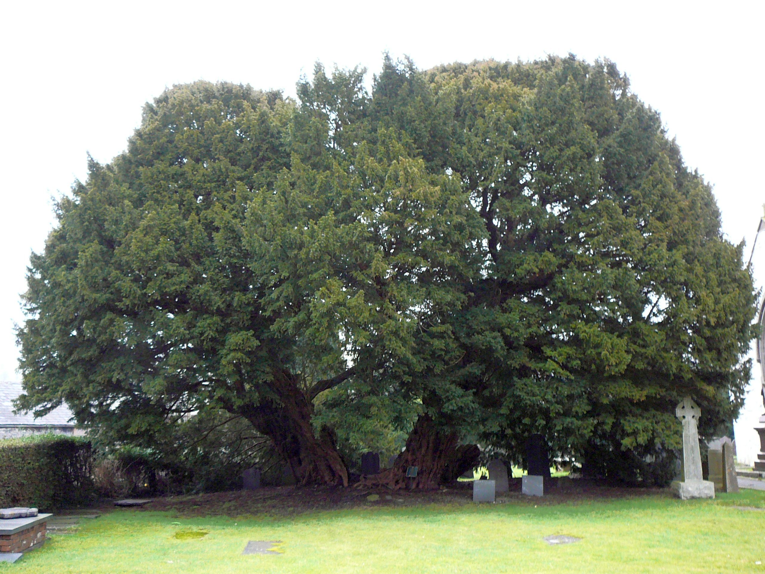
Llangernyw Yew
The Llangernyw Yew ([ɬanˈɡɛrnɨu] ) is an ancient yew (Taxus baccata) in the village of Llangernyw, Conwy, North Wales. The tree is fragmented and its core...

Bodnant Garden
Bodnant Garden (Welsh: Gardd Bodnant) is a National Trust property near Tal-y-Cafn, Conwy, Wales, overlooking the Conwy Valley towards the Carneddau mountains...
Nearby Amenities
Located within 500m of 53.212922,-3.7346709Have you been to Nant-dolgoch?
Leave your review of Nant-dolgoch below (or comments, questions and feedback).