Western Waters

Lake, Pool, Pond, Freshwater Marsh in Devon South Hams

England

Western Waters

Devon small road Small road leading down to Forder
Devon small road Credit: Richard Knights

Western Waters is a serene and picturesque freshwater ecosystem situated in Devon, England. Spanning across an area of approximately 10 acres, it comprises a beautiful lake, pool, pond, and a freshwater marsh. This diverse aquatic landscape offers a haven for a wide array of flora and fauna, making it an important ecological site.

The centerpiece of Western Waters is a pristine lake that stretches over four acres. With its crystal-clear waters and gentle ripples, it provides a breathtaking view. The lake is home to several species of fish, including carp, roach, and perch, making it a popular spot for anglers. Its tranquil surroundings and lush vegetation make it a favorite destination for nature enthusiasts and birdwatchers alike, as it attracts a variety of waterbirds such as ducks, herons, and kingfishers.

Adjacent to the lake is a smaller pool, ideal for those seeking a more secluded and intimate setting. This hidden gem offers a peaceful retreat and is often frequented by wildlife such as frogs, newts, and dragonflies. The pool is surrounded by reeds and water lilies, adding to its natural charm.

Further along, a quaint pond can be found, teeming with aquatic plants and smaller fish species. This shallow body of water serves as a breeding ground for amphibians, including frogs and toads, which can often be spotted during the mating season.

Lastly, the Western Waters ecosystem features a freshwater marsh, characterized by its waterlogged soil and extensive vegetation cover. This marshland provides a vital habitat for numerous wetland plants and animals, such as reeds, sedges, and various waterfowl species.

Overall, Western Waters in Devon presents a harmonious blend of different aquatic habitats, offering a haven for wildlife and a serene retreat for visitors to immerse themselves in the beauty of nature.

If you have any feedback on the listing, please let us know in the comments section below.

Western Waters Images

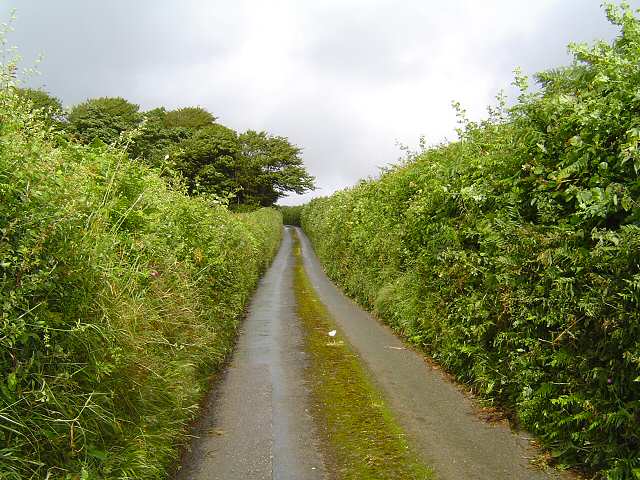
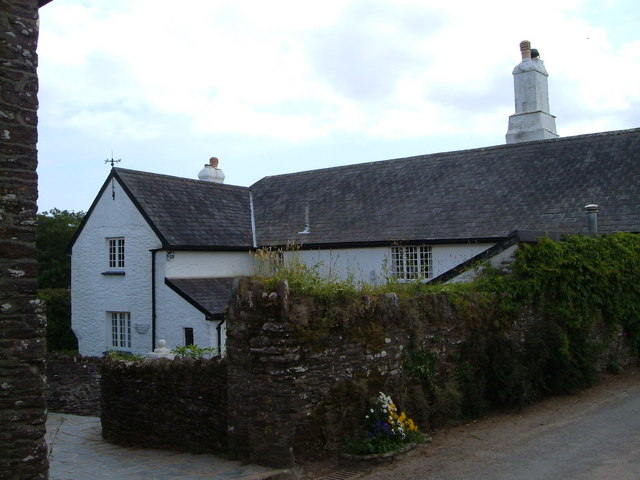
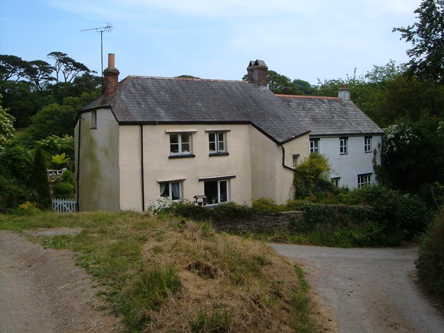
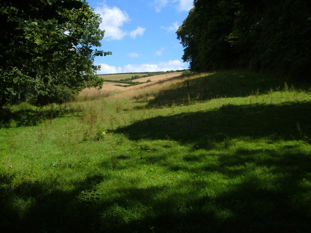
Images are sourced within 2km of 50.347551/-3.6455265 or Grid Reference SX8351. Thanks to Geograph Open Source API. All images are credited.

Devon small road Small road leading down to Forder
Devon small road
Small road leading down to Forder
Higher Ash Farm Part of a hamlet in the South Hams consisting of several farms, their cottages, and a main house.
Higher Ash Farm
Part of a hamlet in the South Hams consisting of several farms, their cottages, and a main house.
Cottages at Lower Ash Cottages by a track junction in the hamlet of Ash, in the Devon South Hams.
Cottages at Lower Ash
Cottages by a track junction in the hamlet of Ash, in the Devon South Hams.
Coleshill Copse Blackawton Bridleway 28 descends to the valley of a tributary of the Gara, with a small pond at near centre. Beyond, the bridleway climbs through the wood on its way to Westdown.
Coleshill Copse
Blackawton Bridleway 28 descends to the valley of a tributary of the Gara, with a small pond at near centre. Beyond, the bridleway climbs through the wood on its way to Westdown.
Field beside Coleshill Copse From the footpath bridge over the stream below Coleshill Copse, which is on the right.
Field beside Coleshill Copse
From the footpath bridge over the stream below Coleshill Copse, which is on the right.
Eastdown The hamlet, of about 7 properties, lies at the head of a side valley of The Gara valley. Seen here from Blackawton Footpath 31.
Eastdown
The hamlet, of about 7 properties, lies at the head of a side valley of The Gara valley. Seen here from Blackawton Footpath 31.
Valley below Eastdown Looking through a gateway from Blackawton Bridleway 26 across the valley shown in <a href="https://www.geograph.org.uk/photo/1323232">SX8249 : Eastdown</a>, from the opposite side.
Valley below Eastdown
Looking through a gateway from Blackawton Bridleway 26 across the valley shown in SX8249 : Eastdown, from the opposite side.
Dead wood above Coleshill Copse By the side of Blackawton Bridleway 28 as it makes its way alongside the hedge and into the copse on the far side of the field.
Dead wood above Coleshill Copse
By the side of Blackawton Bridleway 28 as it makes its way alongside the hedge and into the copse on the far side of the field.
Bluebells in Coleshill Copse Beside Blackawton Bridleway 28 as it descends through the wood.
Bluebells in Coleshill Copse
Beside Blackawton Bridleway 28 as it descends through the wood.
Lane to Ash A glimpse of Lower Ash Farm on the left, seen from a bend in a lane from Bowden. Somewhere in there is the listed farmhouse <span class="nowrap"><a title="https://www.historicengland.org.uk/listing/the-list/list-entry/1325161" rel="nofollow ugc noopener" href="https://www.historicengland.org.uk/listing/the-list/list-entry/1325161">Link</a><img style="margin-left:2px;" alt="External link" title="External link - shift click to open in new window" src="https://s1.geograph.org.uk/img/external.png" width="10" height="10"/></span> . My map showed this lane in yellow; having negotiated it by car in some trepidation, I'm not surprised to see that current maps show it as white; it's badly potholed near Ash and from here southwards has a disconcertingly prominent grass ridge down the middle. It's obviously being abandoned by Devon.
Lane to Ash
A glimpse of Lower Ash Farm on the left, seen from a bend in a lane from Bowden. Somewhere in there is the listed farmhouse LinkExternal link . My map showed this lane in yellow; having negotiated it by car in some trepidation, I'm not surprised to see that current maps show it as white; it's badly potholed near Ash and from here southwards has a disconcertingly prominent grass ridge down the middle. It's obviously being abandoned by Devon.
Plastic sheets, Eastdown Plastic film over maize, by the look of it, in this field by the lane north of Eastdown Cross.
Plastic sheets, Eastdown
Plastic film over maize, by the look of it, in this field by the lane north of Eastdown Cross.
Plastic sheets, Eastdown Looking to the left from where <a href="https://www.geograph.org.uk/photo/5783482">SX8249 : Plastic sheets, Eastdown</a> was taken, so the far side of this field is in <a href="https://www.geograph.org.uk/gridref/SX8250">SX8250</a>. The barn left of centre is on Greenswood Lane.
Plastic sheets, Eastdown
Looking to the left from where SX8249 : Plastic sheets, Eastdown was taken, so the far side of this field is in SX8250. The barn left of centre is on Greenswood Lane.
Plastic sheets, Eastdown A view looking in between the images at <a href="https://www.geograph.org.uk/photo/5783482">SX8249 : Plastic sheets, Eastdown</a> and <a href="https://www.geograph.org.uk/photo/5793358">SX8249 : Plastic sheets, Eastdown</a>, along the lines of the plastic film, and, as it happens, roughly along the parish boundary between Stoke Fleming (right) and Blackawton. The farm on the skyline in the centre is Quarry Lakes, in <a href="https://www.geograph.org.uk/gridref/SX8350">SX8350</a>.
Plastic sheets, Eastdown
A view looking in between the images at SX8249 : Plastic sheets, Eastdown and SX8249 : Plastic sheets, Eastdown, along the lines of the plastic film, and, as it happens, roughly along the parish boundary between Stoke Fleming (right) and Blackawton. The farm on the skyline in the centre is Quarry Lakes, in SX8350.
A schoolchild arrives back home, Ash  The bus, operated by Totnes & Dartmouth Ring & Ride, "A Door To Door Service", performed a three-point turn in a tight space and headed back north.
A schoolchild arrives back home, Ash
The bus, operated by Totnes & Dartmouth Ring & Ride, "A Door To Door Service", performed a three-point turn in a tight space and headed back north.
A glimpse of the garden, Higher Ash Farm
Beechmast in the middle of the lane, Ash
Lane to Eastdown, Lower Ash
Stag sculpture, Lower Ash  The stag is formed from tree branches and pieces of branchwood.
Stag sculpture, Lower Ash
The stag is formed from tree branches and pieces of branchwood.
Show me another place!

Western Waters is located at Grid Ref: SX8351 (Lat: 50.347551, Lng: -3.6455265)

Administrative County: Devon

District: South Hams

Police Authority: Devon and Cornwall

What 3 Words

///shades.skyrocket.brushing. Near Dartmouth, Devon

Nearby Locations

Western Waters Hillfield

Related Wikis

Woodbury, Stoke Fleming

Woodbury is an Iron Age hillfort situated in the parish of Stoke Fleming, close to Dartmouth in Devon, England. The fort is situated on a promontory on...

Woodlands Family Theme Park

Woodlands Family Theme Park is an all-weather family amusement park and falconry display on the A3122 road, 5 miles from Dartmouth, in South Devon, England...

Capton

Capton is a village near Dartmouth in Devon, England.On a hilltop to the east of the village is an Iron Age enclosure or hill fort approximately 185 m...

Blackawton

Blackawton is a village and civil parish in the South Hams district of Devon, England. According to the 2001 census, it had a population of 647. Blackawton...

Nearby Amenities

Located within 500m of 50.347551,-3.6455265
Bugford Cross
Place: locality
Lat/Long: 50.3483267/-3.6413233
Generator Method: photovoltaic
Generator Output Electricity: yes
Generator Source: solar
Generator Type: solar_photovoltaic_panel
Location: ground
Power: generator
Lat/Long: 50.3460826/-3.6396343
Power: pole
Lat/Long: 50.3500876/-3.6501155
Power: pole
Lat/Long: 50.3499833/-3.6489675
Power: pole
Lat/Long: 50.3498847/-3.647899
Power: pole
Lat/Long: 50.3497326/-3.6461593
Power: pole
Lat/Long: 50.3496537/-3.6453204
Power: pole
Lat/Long: 50.3495494/-3.6441414
Power: pole
Lat/Long: 50.3494903/-3.6432848
Power: pole
Lat/Long: 50.3494029/-3.6423178
Power: pole
Lat/Long: 50.3492947/-3.6410994
Power: pole
Lat/Long: 50.3489888/-3.6398849
Power: pole
Lat/Long: 50.3487352/-3.6388164
Power: pole
Lat/Long: 50.3472384/-3.6504442
Power: pole
Lat/Long: 50.3469001/-3.6490159
Power: pole
Lat/Long: 50.3460432/-3.6473599
Power: pole
Lat/Long: 50.3466255/-3.6484853
Power: pole
Lat/Long: 50.3431248/-3.6446163
Power: pole
Lat/Long: 50.3437877/-3.6448184
Power: pole
Lat/Long: 50.3442601/-3.644921
Power: pole
Lat/Long: 50.3448813/-3.6450952
Post Box
Brand: Royal Mail
Brand Wikidata: Q638098
Brand Wikipedia: en:Royal Mail
Collection Times: Mo-Fr 17:00; Sa 08:00; Su off
Operator: Royal Mail
Operator Wikidata: Q638098
Post Box Design: type_b
Post Box Mounting: stone_wall
Post Box Type: wall
Ref: TQ6 247
Royal Cypher: GR
Royal Cypher Wikidata: Q33102273
Source: survey;streetlevel imagery;aerial imagery
Lat/Long: 50.3478021/-3.6426993
The data included in this document is from www.openstreetmap.org. The data is made available under ODbL.

Have you been to Western Waters?

Leave your review of Western Waters below (or comments, questions and feedback).