Gorrenberry

Settlement in Roxburghshire

Scotland

Gorrenberry

Track to Gorrenberry Jubilee Wood The track follows the Billhope Burn.
Track to Gorrenberry Jubilee Wood Credit: wrobison

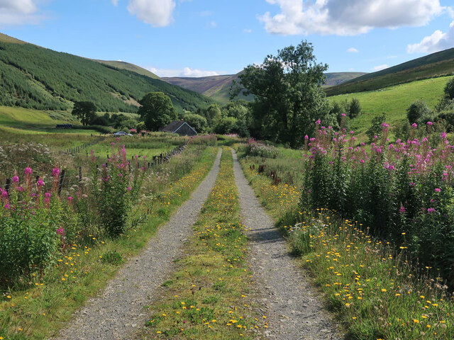
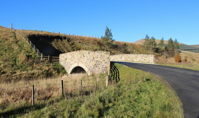
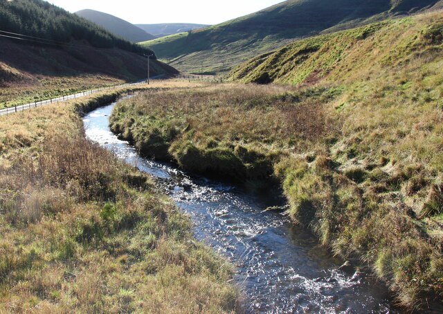
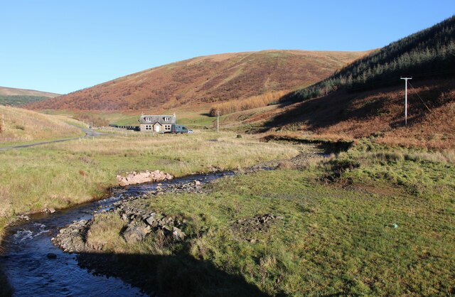
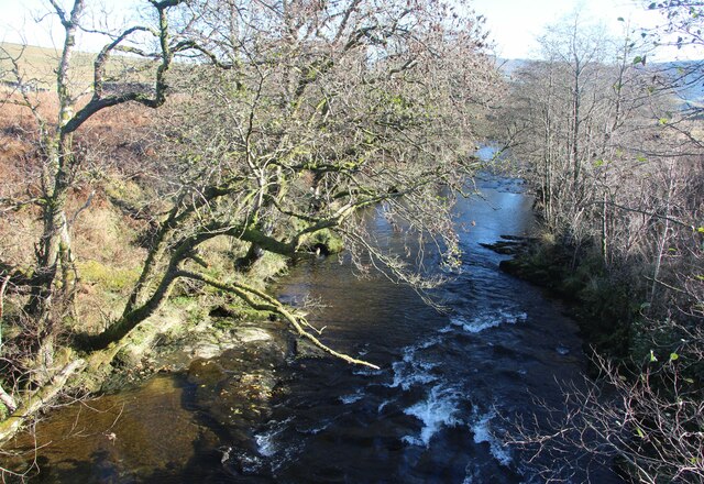
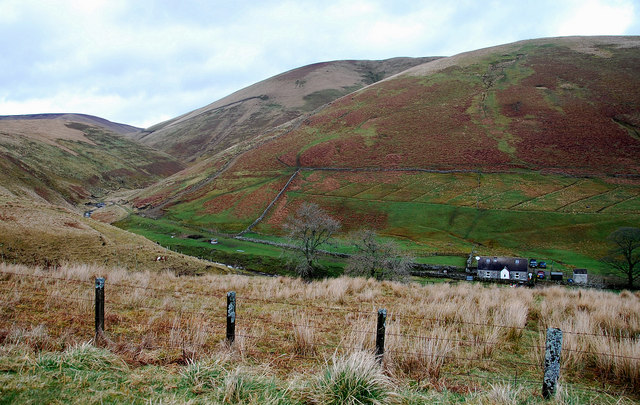
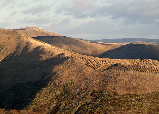
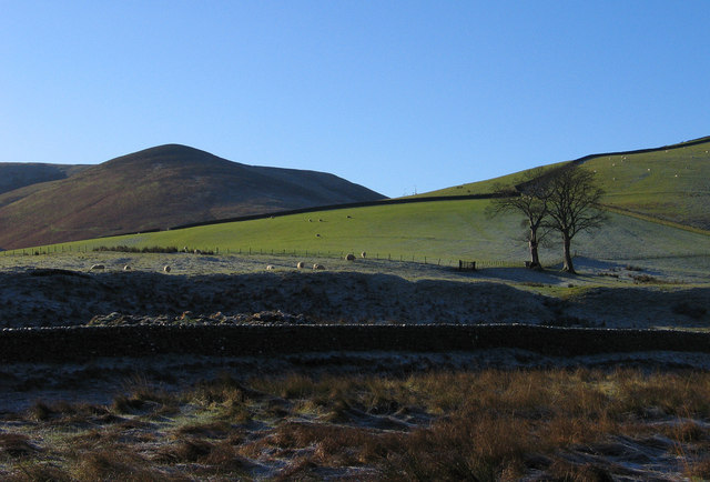
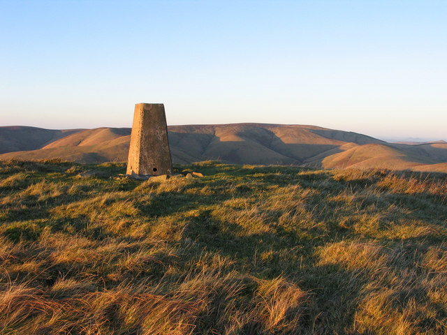
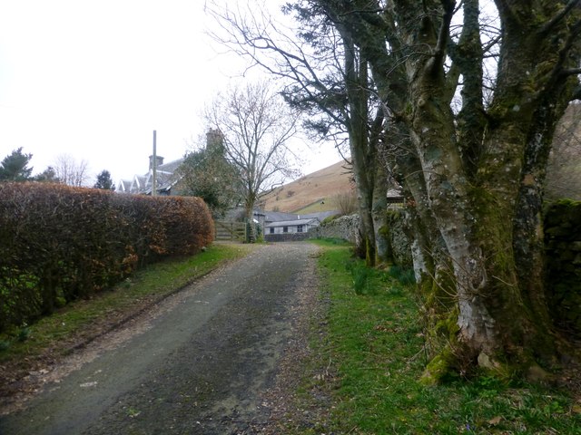
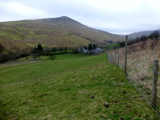
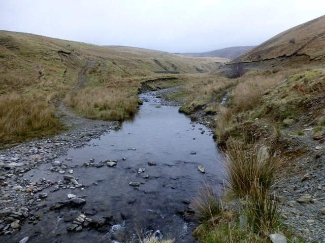
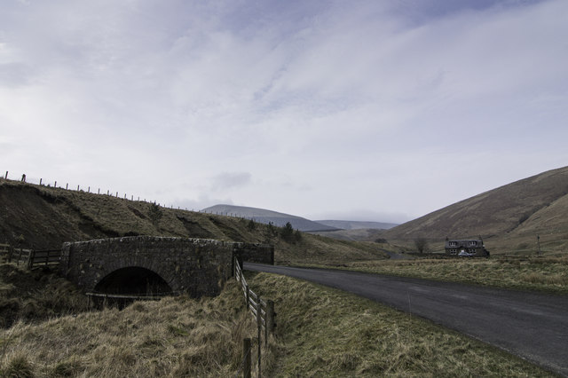
Gorrenberry is a small rural hamlet located in Roxburghshire, Scotland. Situated in the beautiful Scottish Borders region, Gorrenberry is known for its picturesque landscape of rolling hills, meandering streams, and lush greenery. The hamlet is surrounded by open countryside, making it an ideal destination for those seeking a peaceful and tranquil escape from the hustle and bustle of city life.

Gorrenberry is home to a small number of traditional stone cottages and farmhouses, giving it a quaint and charming atmosphere. The community is close-knit and friendly, with residents often coming together for local events and gatherings.

Outdoor enthusiasts will find plenty to do in Gorrenberry, whether it's hiking along the nearby trails, fishing in the local streams, or simply enjoying the stunning views of the surrounding countryside. The hamlet is also within easy reach of the town of Hawick, where visitors can explore historic sites, shops, and restaurants.

Overall, Gorrenberry offers a peaceful and idyllic retreat for those looking to experience the natural beauty and tranquility of rural Scotland.

If you have any feedback on the listing, please let us know in the comments section below.
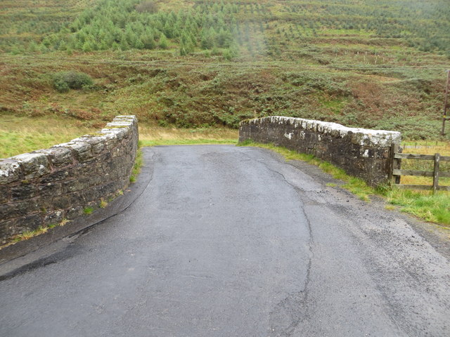
Gorrenberry Images

Images are sourced within 2km of 55.264187/-2.8512881 or Grid Reference NY4697. Thanks to Geograph Open Source API. All images are credited.

Track to Gorrenberry Jubilee Wood The track follows the Billhope Burn.
Track to Gorrenberry Jubilee Wood
The track follows the Billhope Burn.
Bridge Over Billhope Burn
Billhope Burn Road leads to Hermitage.
Billhope Burn
Road leads to Hermitage.
Billhope Burn and cottage
Hermitage Water at Gorrenberry
Billhope Burn Cottage tucked away under the slopes of Stob Fell and beside Billhope Burn.
Pretty location. Good track takes you north on to the fells to Pennygant Hill and Cauldcleugh Head,(619 m), which is classed as a Graham.
Billhope Burn
Cottage tucked away under the slopes of Stob Fell and beside Billhope Burn. Pretty location. Good track takes you north on to the fells to Pennygant Hill and Cauldcleugh Head,(619 m), which is classed as a Graham.
New forestry planting on Stob-cleuch Edge This was viewed from Geordie’s Hill in early December.
New forestry planting on Stob-cleuch Edge
This was viewed from Geordie’s Hill in early December.
Field beside the Twislehope Burn The field is on the foot of the east ridge of Geordie's Hill and has according to OS mapping an ancient settlement within, or partly within it. Cockplay Hill lies at the left side of the image in the valley of the Twislehope Burn.
Field beside the Twislehope Burn
The field is on the foot of the east ridge of Geordie's Hill and has according to OS mapping an ancient settlement within, or partly within it. Cockplay Hill lies at the left side of the image in the valley of the Twislehope Burn.
Summit area of Din Fell Late afternoon, autumn sunshine tinges red the summit area of Din Fell and its trig point; Cauldcleuch Head is in the distance.
Summit area of Din Fell
Late afternoon, autumn sunshine tinges red the summit area of Din Fell and its trig point; Cauldcleuch Head is in the distance.
View Of Lane To Gorrenberry Beech hedge and trees near the top of the lane to Gorrenberry.
View Of Lane To Gorrenberry
Beech hedge and trees near the top of the lane to Gorrenberry.
View Towards Din Fell A view from the bottom edge Dod Plantation towards Gorrenberry and the hill Din Fell.
View Towards Din Fell
A view from the bottom edge Dod Plantation towards Gorrenberry and the hill Din Fell.
Dry Stone Wall View Towards Bught Knowe A moss covered dry stone wall with a view towards Bught Knowe.
Dry Stone Wall View Towards Bught Knowe
A moss covered dry stone wall with a view towards Bught Knowe.
Braidley Burn We forded the Braidley Burn at this point and managed to keep or socks dry. You can make out the sheepfold on the west bank.
Braidley Burn
We forded the Braidley Burn at this point and managed to keep or socks dry. You can make out the sheepfold on the west bank.
Billhope
Billhope
Bridge Over Billhope Burn at Billhope Looking eastward.
Bridge Over Billhope Burn at Billhope
Looking eastward.
Hermitage road Ash trees between road and river.
Hermitage road
Ash trees between road and river.
Trees beside the Hermitage Water Scattered ashes beside the river near Gorrenberry.
Trees beside the Hermitage Water
Scattered ashes beside the river near Gorrenberry.
Din Fell Hill above the Hermitage Water.
Din Fell
Hill above the Hermitage Water.
Show me another place!

Gorrenberry is located at Grid Ref: NY4697 (Lat: 55.264187, Lng: -2.8512881)

Unitary Authority: The Scottish Borders

Police Authority: The Lothians and Scottish Borders

What 3 Words

///herb.aviators.former. Near Teviothead, Scottish Borders

Nearby Locations

Dod Hill Gorrenberry

Related Wikis

Dinley

Dinley is a hamlet in the Scottish Borders through which Hermitage Water flows. == Etymology == The first element, din, seems to be the Cumbric word for...

Cauldcleuch Head

Cauldcleuch Head is a hill in an unnamed range of Roxburghshire hills north of Langholm, part of the Southern Uplands of Scotland. The highest hill in...

Hermitage Castle

Hermitage Castle is a semi-ruined castle in the border region of Scotland. It is under the care of Historic Scotland. The castle has a reputation, both...

Hermitage, Scottish Borders

Hermitage is a village near Newcastleton, on the B6399, in the Scottish Borders area of Scotland. == See also == List of places in the Scottish Borders...

Nearby Amenities

Located within 500m of 55.264187,-2.8512881
Bught Shank
Place: locality
Lat/Long: 55.2665862/-2.8552814
Gorrenberry
Information: guidepost
Tourism: information
Lat/Long: 55.2656089/-2.850216
Power: pole
Lat/Long: 55.2628057/-2.8450349
Power: pole
Lat/Long: 55.2627323/-2.8464279
Power: pole
Lat/Long: 55.2626663/-2.8478107
Power: pole
Lat/Long: 55.2626017/-2.8491986
Power: pole
Lat/Long: 55.2625357/-2.8505967
Power: pole
Lat/Long: 55.2624638/-2.8519666
Power: pole
Lat/Long: 55.2623846/-2.8533854
Power: pole
Lat/Long: 55.2623098/-2.8547913
Power: pole
Lat/Long: 55.2622511/-2.856259
Power: pole
Lat/Long: 55.2621762/-2.857683
Power: pole
Lat/Long: 55.265831/-2.844525
The data included in this document is from www.openstreetmap.org. The data is made available under ODbL.

Have you been to Gorrenberry?

Leave your review of Gorrenberry below (or comments, questions and feedback).