Aird Loch

Lake, Pool, Pond, Freshwater Marsh in Dumfriesshire

Scotland

Aird Loch

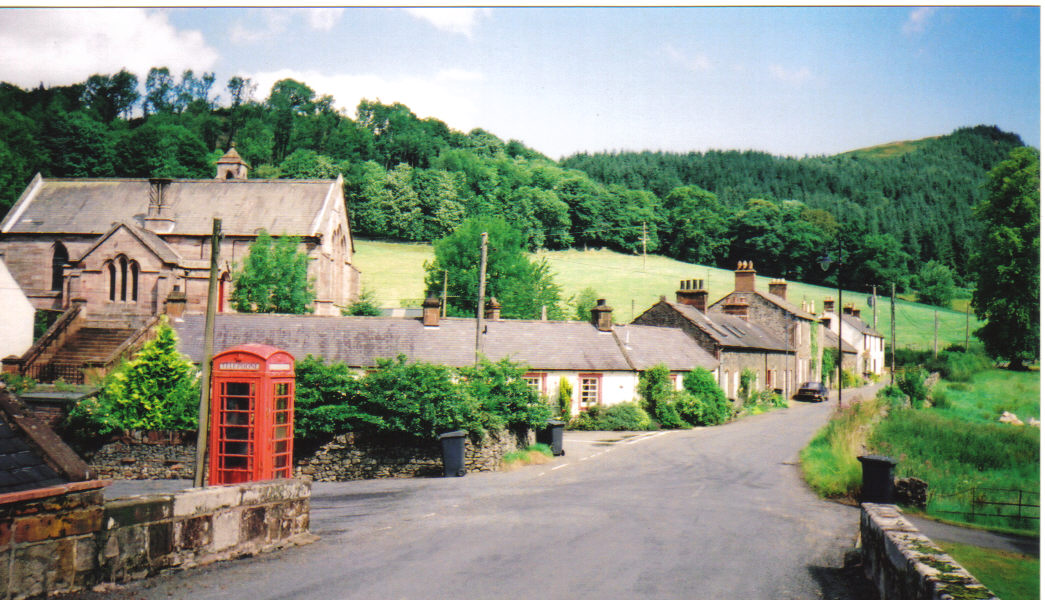
Tynron Parish Hall The telephone box no longer has a telephone.
Tynron Parish Hall Credit: Richard Webb

Aird Loch, located in Dumfriesshire, Scotland, is a picturesque freshwater loch nestled in the rolling countryside. Spanning an area of approximately 100 acres, it is a popular destination for nature enthusiasts and those seeking tranquility amidst the stunning Scottish landscape.

The loch is surrounded by a mixture of lush vegetation, including deciduous and coniferous trees, which add to its natural beauty. Its crystal-clear waters are home to a variety of freshwater fish species, such as brown trout and perch, making it a haven for anglers of all skill levels.

Aird Loch also serves as a habitat for a diverse range of bird species, including waterfowl, migratory birds, and birds of prey. Birdwatchers will delight in spotting species such as the common tern, tufted duck, and osprey, particularly during the warmer months when the loch's shores are teeming with life.

Additionally, the loch features a small freshwater marsh, which provides a unique and valuable habitat for a variety of plant and animal life. This ecosystem plays a crucial role in maintaining the balance of the local environment, acting as a natural filtration system for the water and providing a breeding ground for amphibians and insects.

Visitors to Aird Loch can enjoy a range of recreational activities, including fishing, birdwatching, and walking along the shoreline. The peaceful surroundings and breathtaking views make it an ideal location for picnics or simply immersing oneself in the tranquility of nature.

If you have any feedback on the listing, please let us know in the comments section below.

Aird Loch Images

Images are sourced within 2km of 55.216696/-3.8537201 or Grid Reference NX8292. Thanks to Geograph Open Source API. All images are credited.

Tynron Parish Hall The telephone box no longer has a telephone.
Tynron Parish Hall
The telephone box no longer has a telephone.
Tynron Craigturra, now without trees, in the background.
Tynron
Craigturra, now without trees, in the background.
Road to Auchengibbert
Roads, Auchengibbert The lower road goes below Craigturra before climbing to rough grazing above. It is a waymarked path to Tynron Doon. The upper road goes to Auchengibbert.
Roads, Auchengibbert
The lower road goes below Craigturra before climbing to rough grazing above. It is a waymarked path to Tynron Doon. The upper road goes to Auchengibbert.
Felled and replanted woodland, Auchengibbert
Waterfall, Auchengibbert Below the Auchengibbert Linn marked by the Ordnance Survey.
Waterfall, Auchengibbert
Below the Auchengibbert Linn marked by the Ordnance Survey.
Craigturra Felled woodland and a rather crumbly crag near Tynron.
Craigturra
Felled woodland and a rather crumbly crag near Tynron.
Road beneath Craigturra Tynron Doon in the background.
Road beneath Craigturra
Tynron Doon in the background.
View towards Clonrae From beneath Craigturra.
View towards Clonrae
From beneath Craigturra.
Decaying trailer, Craigtrurra Tynron Doon in the background.
Decaying trailer, Craigtrurra
Tynron Doon in the background.
Ruined dyke, Mid Hill An electric fence continues along the line of the dyke from the right.
Ruined dyke, Mid Hill
An electric fence continues along the line of the dyke from the right.
Gate and electric fence, Auchengibbert Hill
View off Auchengibbert Hill
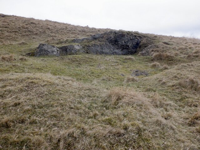
Workings, Auchengibbert Hill Suspect trial workings for minerals as there is a line of pits along the hillside above.
Workings, Auchengibbert Hill
Suspect trial workings for minerals as there is a line of pits along the hillside above.
View from Auchengibbert Hill A view to a distant Criffel  with brief sunlight at Low Lann.
View from Auchengibbert Hill
A view to a distant Criffel with brief sunlight at Low Lann.
Rough grazing, Auchengibbert Hill
Ruined dykes, Auchengibbert Hill
Mid Hill, Tynron
Mid Hill, Tynron
Show me another place!

Aird Loch is located at Grid Ref: NX8292 (Lat: 55.216696, Lng: -3.8537201)

Unitary Authority: Dumfries and Galloway

Police Authority: Dumfries and Galloway

What 3 Words

///pedicure.compliant.sued. Near Thornhill, Dumfries & Galloway

Nearby Locations

Aird Loch

Related Wikis

Tynron Doon

Tynron Doon is a multivallate Iron Age hill fort outside the village of Tynron in Dumfries and Galloway, Scotland. It was occupied on and off from the...

Shinnel Water

Shinnel Water, also spelt Shinnell, is a river in the region of Dumfries and Galloway, Scotland. It rises in the Scaur hills of Tynron Parish in the Southern...

Tynron

Tynron is a village and civil parish in Dumfries and Galloway, south-west Scotland, lying in a hollow of the Shinnel Water, 2 miles (3.2 km) from Moniaive...

Grennan Hill

Grennan Hill is the site of an Iron Age hill fort outside Penpont in Dumfries and Galloway, Scotland. == References == Schedule "Grennan Hill, NMRS Number...

Nearby Amenities

Located within 500m of 55.216696,-3.8537201
Ford Hill
Natural: peak
Lat/Long: 55.2177868/-3.8466145
Power: pole
Lat/Long: 55.2123141/-3.8535444
Power: pole
Lat/Long: 55.2125405/-3.8525282
Power: pole
Lat/Long: 55.2127692/-3.8515078
Power: pole
Lat/Long: 55.2129895/-3.8507865
Power: pole
Lat/Long: 55.2133744/-3.8496516
Power: pole
Lat/Long: 55.2141333/-3.8488221
Power: pole
Lat/Long: 55.2148098/-3.8480902
Power: pole
Lat/Long: 55.2154912/-3.8473349
Power: pole
Lat/Long: 55.2161121/-3.8466412
Power: pole
Lat/Long: 55.2166882/-3.8461236
The data included in this document is from www.openstreetmap.org. The data is made available under ODbL.

Have you been to Aird Loch?

Leave your review of Aird Loch below (or comments, questions and feedback).