Big Barwhanny Loch

Lake, Pool, Pond, Freshwater Marsh in Kirkcudbrightshire

Scotland

Big Barwhanny Loch

Glenyerrock Farm A farmhouse and associated outbuildings, photographed from the B736.
Glenyerrock Farm Credit: Richard Sutcliffe

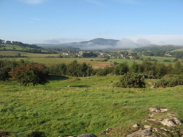
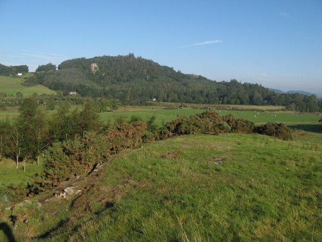
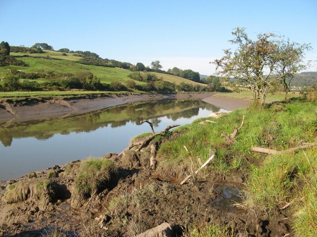
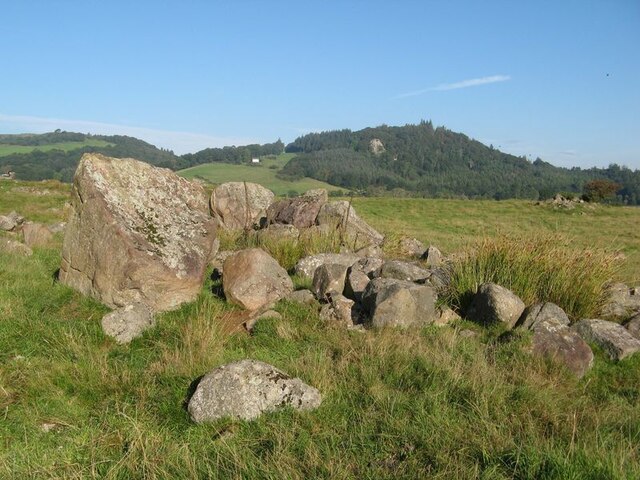
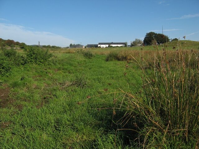
Big Barwhanny Loch is a freshwater loch located in Kirkcudbrightshire, Scotland. The loch is situated within a rural and picturesque landscape, surrounded by rolling hills and green pastures. It covers an area of approximately 20 acres and has a maximum depth of around 10 meters.

The loch is a popular spot for fishing enthusiasts, with a variety of fish species present in its waters, including brown trout, pike, and perch. Anglers can often be seen casting their lines from the banks or from small boats out on the water.

Big Barwhanny Loch is also home to a diverse range of bird species, making it a haven for birdwatchers. Visitors can spot ducks, swans, herons, and other waterfowl around the loch, particularly during the spring and autumn migration seasons.

The surrounding area offers plenty of opportunities for outdoor activities, such as hiking, picnicking, and wildlife spotting. The peaceful and tranquil atmosphere of Big Barwhanny Loch makes it a perfect destination for those looking to escape the hustle and bustle of city life and immerse themselves in the beauty of nature.

If you have any feedback on the listing, please let us know in the comments section below.

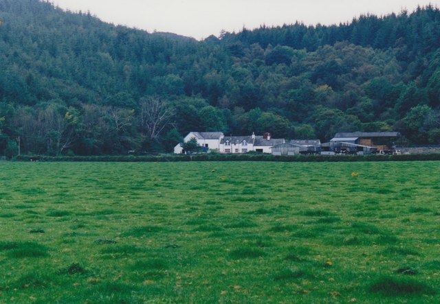
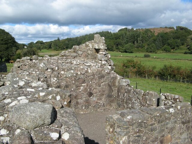
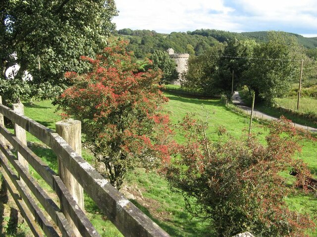
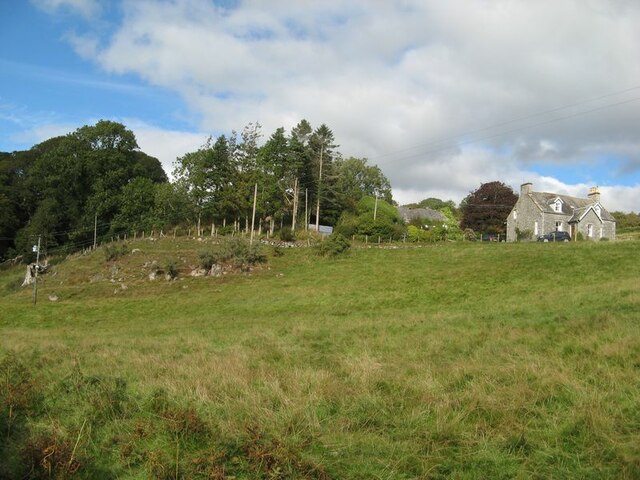
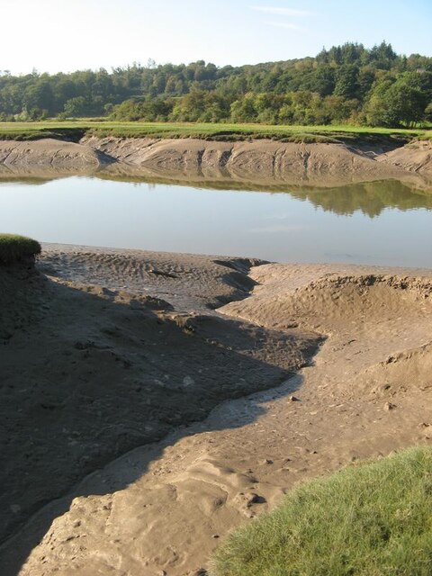
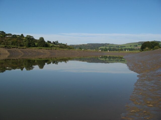
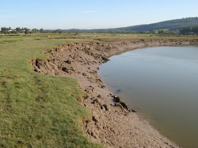
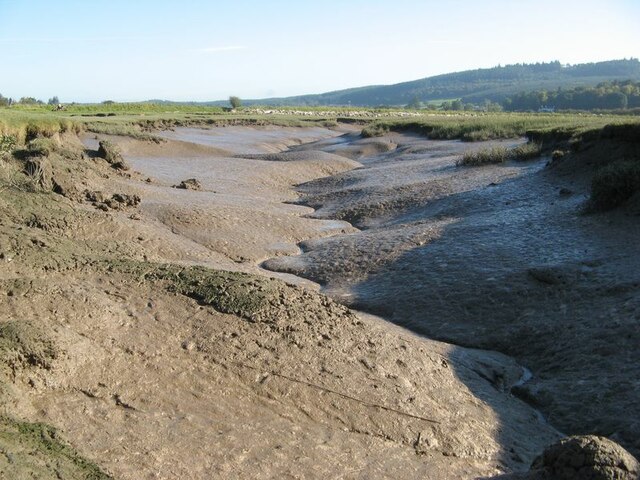
Big Barwhanny Loch Images

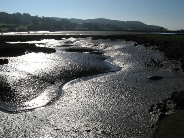
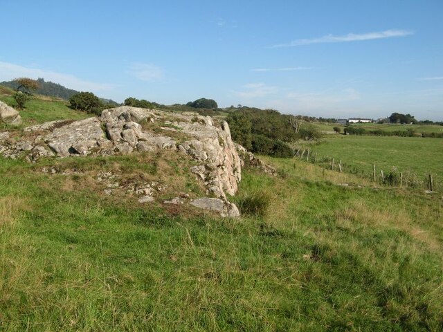
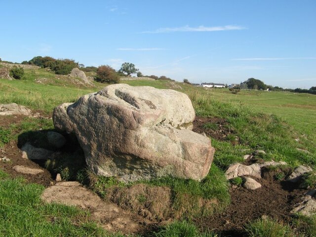
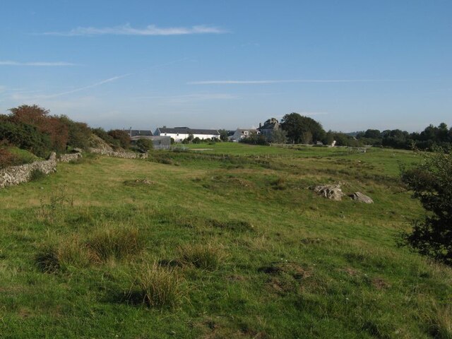
Images are sourced within 2km of 54.888025/-3.846653 or Grid Reference NX8156. Thanks to Geograph Open Source API. All images are credited.

Glenyerrock Farm A farmhouse and associated outbuildings, photographed from the B736.
Glenyerrock Farm
A farmhouse and associated outbuildings, photographed from the B736.
Orchardton valley Looking over fields in the Orchardton valley from the elevated ruins of Orchardton Tower.
Orchardton valley
Looking over fields in the Orchardton valley from the elevated ruins of Orchardton Tower.
View to the tower From this location by the farm entrance the tower appears to be complete, though I imagine it has lost its original roof.
View to the tower
From this location by the farm entrance the tower appears to be complete, though I imagine it has lost its original roof.
View to The Holm The Orchardton valley is secluded with wide, grazed fields and wooded slopes. The Holm hides in its own patch of trees, but the outlying cottage is prominent on the slope.
View to The Holm
The Orchardton valley is secluded with wide, grazed fields and wooded slopes. The Holm hides in its own patch of trees, but the outlying cottage is prominent on the slope.
Urr Water valley Despite its prominence on the map, the river is lost in the landscape of meadows, woodland and hedges. The view across the valley takes in the vision of Screel Hill rising above early mists.
Urr Water valley
Despite its prominence on the map, the river is lost in the landscape of meadows, woodland and hedges. The view across the valley takes in the vision of Screel Hill rising above early mists.
Urr Water valley 2 A view to the northwest over the valley of the Urr Water, which is invisible in its distant, incised course. Lush meadows occupy the low ground, in contrast to the granite knoll from which the image was captured.
Urr Water valley 2
A view to the northwest over the valley of the Urr Water, which is invisible in its distant, incised course. Lush meadows occupy the low ground, in contrast to the granite knoll from which the image was captured.
Urr Water by Palnackie Brae A view upstream of the river at low tide with reflections of Palnackie Brae.
Urr Water by Palnackie Brae
A view upstream of the river at low tide with reflections of Palnackie Brae.
Boulder cache The fields atop the hill of Meikle Richorn have been improved by pulling out large boulders which are gathered in clumps like this. Granite is a rock easily quarried by glacial processes, so these are not far-travelled and reflect the underlying geology, though actual rock outcrop is sparse.
Boulder cache
The fields atop the hill of Meikle Richorn have been improved by pulling out large boulders which are gathered in clumps like this. Granite is a rock easily quarried by glacial processes, so these are not far-travelled and reflect the underlying geology, though actual rock outcrop is sparse.
Muddy river banks Mud banks at the side of Urr Water on a falling tide, though there is a good way to go yet.
Muddy river banks
Mud banks at the side of Urr Water on a falling tide, though there is a good way to go yet.
Morning reflections Still water on the Urr in the early morning.
Morning reflections
Still water on the Urr in the early morning.
Riverbank and salt marsh Diverse habitats in the estuary of Urr Water, which meanders in an impressive fashion.
Riverbank and salt marsh
Diverse habitats in the estuary of Urr Water, which meanders in an impressive fashion.
Creek meanders Fabulous, sinuous forms and billowing banks in the mud of a tidal creek.
Creek meanders
Fabulous, sinuous forms and billowing banks in the mud of a tidal creek.
Mud reflections Fabulous forms highlighted by reflection in this contra-jour image of a meandering creek at low tide.
Mud reflections
Fabulous forms highlighted by reflection in this contra-jour image of a meandering creek at low tide.
Granite outcrop Rock outcrop at the edge of low ground reaching out from Meiklebob Farm. This is a pretty spot, and very different from the neighbouring prairies of silage with vast cowsheds.
Granite outcrop
Rock outcrop at the edge of low ground reaching out from Meiklebob Farm. This is a pretty spot, and very different from the neighbouring prairies of silage with vast cowsheds.
Granite boulder A large glacial erratic boulder sits close to the granite outcrop of the higher ground. This appears to be a favourite spot for the farm animals to rub themselves when needed.
Granite boulder
A large glacial erratic boulder sits close to the granite outcrop of the higher ground. This appears to be a favourite spot for the farm animals to rub themselves when needed.
Meiklebob Farm The farm occupies elevated ground around which the river flows on three sides. Divestment of the dairying business resulted in redevelopment of the older outbuildings into holiday lets which command a fine view over Rough Firth in the distance.
Meiklebob Farm
The farm occupies elevated ground around which the river flows on three sides. Divestment of the dairying business resulted in redevelopment of the older outbuildings into holiday lets which command a fine view over Rough Firth in the distance.
Wetland by a stream A small stream runs down from the farm, but it has disappeared into wet grassland at this time of low flow.
Wetland by a stream
A small stream runs down from the farm, but it has disappeared into wet grassland at this time of low flow.
Sheep at pasture Granite outcrop at the top of sheep pasture.
Sheep at pasture
Granite outcrop at the top of sheep pasture.
Show me another place!

Big Barwhanny Loch is located at Grid Ref: NX8156 (Lat: 54.888025, Lng: -3.846653)

Unitary Authority: Dumfries and Galloway

Police Authority: Dumfries and Galloway

What 3 Words

///glance.countries.dented. Near Dalbeattie, Dumfries & Galloway

Related Wikis

Palnackie

Palnackie is a village in the parish of Buittle in the historical county of Kirkcudbrightshire in Dumfries and Galloway, Scotland. It has a population...

Rockcliffe, Dumfries and Galloway

Rockcliffe is a small, coastal village in Kirkcudbrightshire, Dumfries and Galloway in Scotland, with a view of Rough Island, Hestan Island, the Solway...

Kippford

Kippford (/ˈkɪpfəd/; otherwise Scaur) is a small village along the Solway coast, in the historic county of Kirkcudbrightshire in Dumfries and Galloway...

Rough Firth

Rough Firth is an inlet on the northern coast of the Solway Firth in the Stewartry area of Dumfries and Galloway, Scotland. The firth lies between Almorness...

Nearby Amenities

Located within 500m of 54.888025,-3.846653
Power: pole
Lat/Long: 54.8839536/-3.8459729
Power: pole
Lat/Long: 54.8847333/-3.8451656
Power: pole
Lat/Long: 54.8851695/-3.8447385
Power: pole
Lat/Long: 54.8854872/-3.8444262
Power: pole
Lat/Long: 54.8861801/-3.8444199
Power: pole
Lat/Long: 54.8870319/-3.8444035
Power: pole
Lat/Long: 54.8879434/-3.8443859
Power: pole
Lat/Long: 54.8888293/-3.844371
Power: pole
Lat/Long: 54.8894464/-3.8446153
Power: pole
Lat/Long: 54.8900734/-3.8448548
Power: pole
Lat/Long: 54.8909151/-3.8451762
Power: pole
Lat/Long: 54.8917302/-3.8455017
Power: pole
Lat/Long: 54.8917762/-3.84552
Power: pole
Lat/Long: 54.8869048/-3.8430305
Power: pole
Lat/Long: 54.8867581/-3.8414031
Power: pole
Lat/Long: 54.8866616/-3.8403112
Power: pole
Lat/Long: 54.8892216/-3.8436402
Power: pole
Lat/Long: 54.8895356/-3.8430645
Power: pole
Lat/Long: 54.8896578/-3.8418174
Power: pole
Lat/Long: 54.8897885/-3.8403643
Power: pole
Lat/Long: 54.8898606/-3.839523
Power: pole
Lat/Long: 54.8899498/-3.846351
Power: pole
Lat/Long: 54.8872457/-3.8456032
Power: pole
Lat/Long: 54.887666/-3.8478679
Power: pole
Lat/Long: 54.887886/-3.8490108
Power: pole
Lat/Long: 54.8881292/-3.8503386
Power: pole
Lat/Long: 54.8883283/-3.8513839
Power: pole
Lat/Long: 54.8885385/-3.8525374
Power: pole
Lat/Long: 54.8887206/-3.8535147
The data included in this document is from www.openstreetmap.org. The data is made available under ODbL.

Have you been to Big Barwhanny Loch?

Leave your review of Big Barwhanny Loch below (or comments, questions and feedback).