Loch Gavin

Lake, Pool, Pond, Freshwater Marsh in Kirkcudbrightshire

Scotland

Loch Gavin
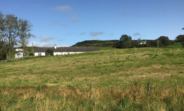
Hardhills Cottage
Hardhills Cottage Credit: Eirian Evans

The requested URL returned error: 429 Too Many Requests

If you have any feedback on the listing, please let us know in the comments section below.

Loch Gavin Images

Images are sourced within 2km of 54.916078/-3.850637 or Grid Reference NX8159. Thanks to Geograph Open Source API. All images are credited.
Hardhills Cottage
Hardhills Cottage
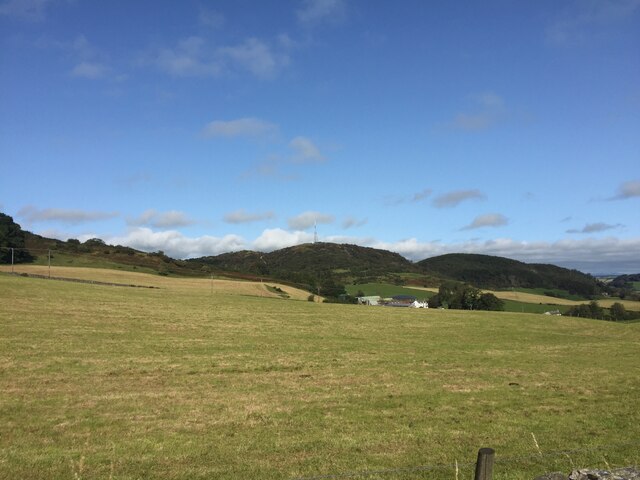
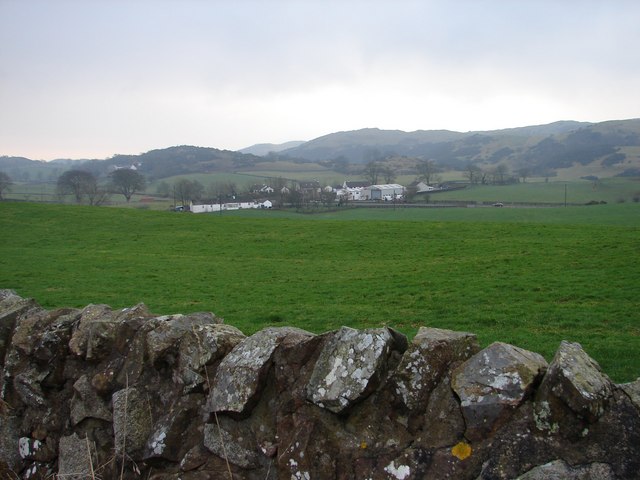
Buittle Mains View across open farmland towards the farm. There is a radio mast on the hill in the distance.
Buittle Mains
View across open farmland towards the farm. There is a radio mast on the hill in the distance.
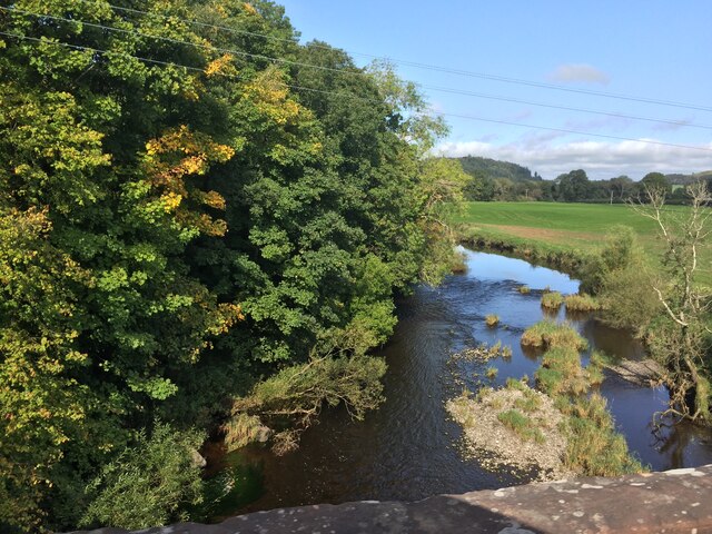
Urr Water from Buittle Bridge
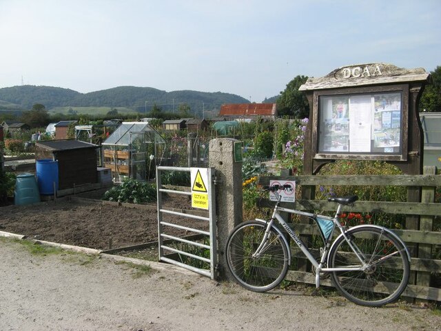
Biggar Gardens sign The sign at the entrance to Biggar's Gardens, comprising allotments and community space run by the Dalbeattie Community Allotments Association. The site was originally the Munches brick and tile works which had clay from the alluvium of the Urr valley to the west.
Biggar Gardens sign
The sign at the entrance to Biggar's Gardens, comprising allotments and community space run by the Dalbeattie Community Allotments Association. The site was originally the Munches brick and tile works which had clay from the alluvium of the Urr valley to the west.
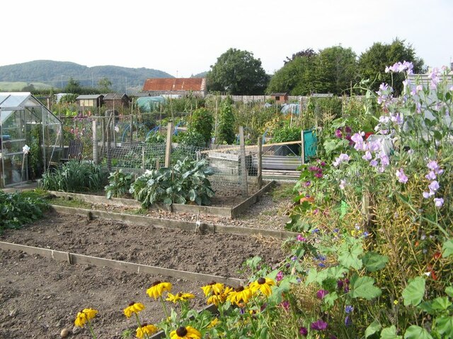
Allotment gardens Part of the Biggar Gardens of the Dalbeattie Community Allotments Association, in fine and productive condition.
Allotment gardens
Part of the Biggar Gardens of the Dalbeattie Community Allotments Association, in fine and productive condition.
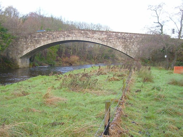
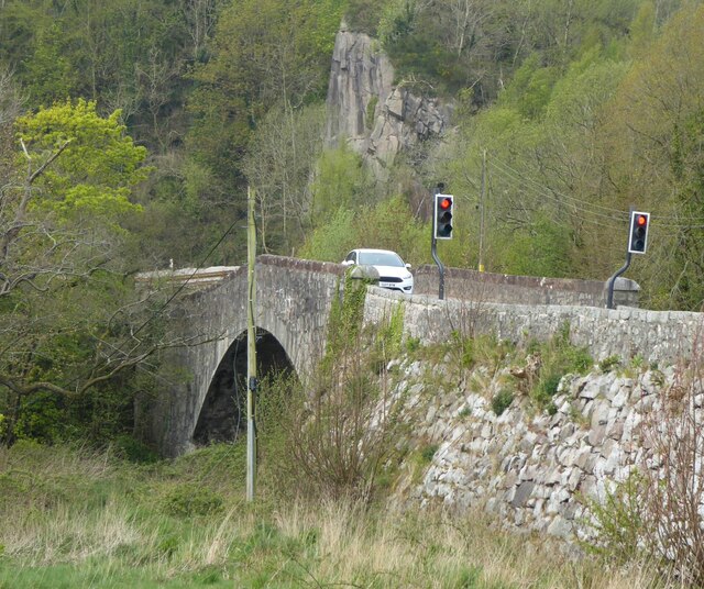
Buittle or Craignair Bridge Buittle Bridge, also known as Craignair Bridge is a bridge over the Urr Water just outside Dalbeattie in Dumfries and Galloway, Scotland. Completed in 1797, it replaced an earlier two-span bridge of the same name which was destroyed in a flood a short time after its completion.
Buittle or Craignair Bridge
Buittle Bridge, also known as Craignair Bridge is a bridge over the Urr Water just outside Dalbeattie in Dumfries and Galloway, Scotland. Completed in 1797, it replaced an earlier two-span bridge of the same name which was destroyed in a flood a short time after its completion.
Buittle Bridge The Buittle Bridge over the River Urr carries the A711 road from Castle Douglas to Dalbeattie. A short distance downstream from here the river becomes tidal and was originally navigable by quite large vessels.
Buittle Bridge
The Buittle Bridge over the River Urr carries the A711 road from Castle Douglas to Dalbeattie. A short distance downstream from here the river becomes tidal and was originally navigable by quite large vessels.
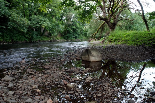
River Urr Great for sea trout, brown trout and the occasional salmon
River Urr
Great for sea trout, brown trout and the occasional salmon
Hardhills Winter view across the fields of Little Knox toward the A745 at Hardhills Smithy, now a modern farming machinery dealership.
Hardhills
Winter view across the fields of Little Knox toward the A745 at Hardhills Smithy, now a modern farming machinery dealership.
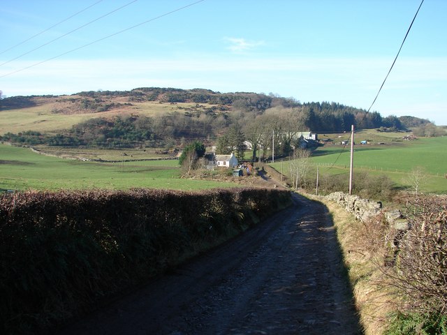
Buittle Mains Track descends from the A745 to Buittle Mains Farm, beyond is Knox Hill.
Buittle Mains
Track descends from the A745 to Buittle Mains Farm, beyond is Knox Hill.
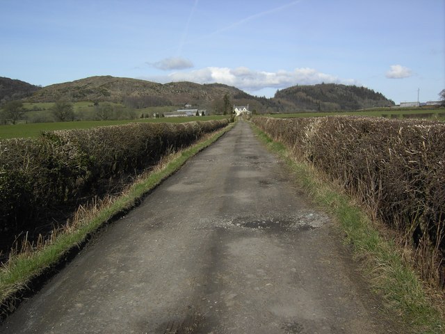
Reedweel Farm Track Reedweel farm track which is just off the Dalbeattie to Castle Douglas road.
Reedweel Farm Track
Reedweel farm track which is just off the Dalbeattie to Castle Douglas road.
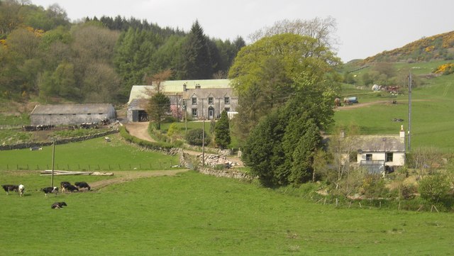
Buittle Mains Buittle Mains farm near Dalbeattie.
Buittle Mains
Buittle Mains farm near Dalbeattie.
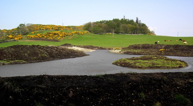
Fishing Pool A fishing pool on Little Knox farm.
Fishing Pool
A fishing pool on Little Knox farm.
The Dub O' Hass (The Port Dalbeattie) pre restoration The Dub o' Hass or 'Pool at the Throat' as it translates from 18th Century Scots is the name given to the now derelict port of Dalbeattie, which lies three miles upstream from Palnackie Harbour.

Here only the smaller vessels were able to reach Dalbeattie by the aid of horses as the bends in the river Urr were so sharp that ropes were also used to guide ships round.

Today it is hard to imagine a boat of any size navigating the tortuous twists and turns of the River Urr as far as the town.  A once thriving port and the hub of Dalbeattie's industrial past lies dormant and secret behind the remains of Biggars Mill.

Age-old granite quay stones mark the path to the Dub o' Hass where an overgrown tree threatens the remains of the pier, its roots so deep that should it fall it will destroy a vital part of the towns heritage.  The timber remains are as clear today as when they were first placed over 200 years ago, although my photos do not do it justice.
The Dub O' Hass (The Port Dalbeattie) pre restoration
The Dub o' Hass or 'Pool at the Throat' as it translates from 18th Century Scots is the name given to the now derelict port of Dalbeattie, which lies three miles upstream from Palnackie Harbour. Here only the smaller vessels were able to reach Dalbeattie by the aid of horses as the bends in the river Urr were so sharp that ropes were also used to guide ships round. Today it is hard to imagine a boat of any size navigating the tortuous twists and turns of the River Urr as far as the town. A once thriving port and the hub of Dalbeattie's industrial past lies dormant and secret behind the remains of Biggars Mill. Age-old granite quay stones mark the path to the Dub o' Hass where an overgrown tree threatens the remains of the pier, its roots so deep that should it fall it will destroy a vital part of the towns heritage. The timber remains are as clear today as when they were first placed over 200 years ago, although my photos do not do it justice.
Traffic lights at the junction of the A745 and the A711 Just to the right of this photograph, on the A711, is the Buittle Bridge crossing Urr Water. This bridge is very old and is a single track bridge.
Traffic lights at the junction of the A745 and the A711
Just to the right of this photograph, on the A711, is the Buittle Bridge crossing Urr Water. This bridge is very old and is a single track bridge.
Gardens in Dalbeattie
Quarry (in the distance), Dalbeattie
B727 at the junction with A745
Show me another place!

Loch Gavin is located at Grid Ref: NX8159 (Lat: 54.916078, Lng: -3.850637)

Unitary Authority: Dumfries and Galloway

Police Authority: Dumfries and Galloway

What 3 Words

///sailed.surpasses.pace. Near Dalbeattie, Dumfries & Galloway

Related Wikis

Buittle Bridge

Buittle Bridge, also known as Craignair Bridge is a bridge over the Urr Water just outside Dalbeattie in Dumfries and Galloway, Scotland. Completed in...

Buittle Castle

Buittle Castle, also known historically as Botle or Botel Castle, is a Motte and Bailey site in Galloway, south-west Scotland with significant early and...

Dalbeattie High School

Dalbeattie High School is a small rural secondary school on the edge of Dalbeattie in the historical county of Kirkcudbrightshire in the local council...

Dalbeattie

Dalbeattie (, Scots: Dawbeattie, Scottish Gaelic: Dail Bheithe meaning 'haugh of the birch' or Dail bhàite 'drowned (i.e. liable to flood) haugh') is a...

Nearby Amenities

Located within 500m of 54.916078,-3.850637
Kirkennan Hill
Natural: peak
Lat/Long: 54.9143921/-3.8509758
Munches Hill
Natural: peak
Lat/Long: 54.9191637/-3.8511173
Tourism: viewpoint
Lat/Long: 54.9179648/-3.8523753
The data included in this document is from www.openstreetmap.org. The data is made available under ODbL.

Have you been to Loch Gavin?

Leave your review of Loch Gavin below (or comments, questions and feedback).