Drumbowie Reservoir

Lake, Pool, Pond, Freshwater Marsh in Stirlingshire

Scotland

Drumbowie Reservoir

Minor road at Easter Banknock
Minor road at Easter Banknock Credit: Steven Brown

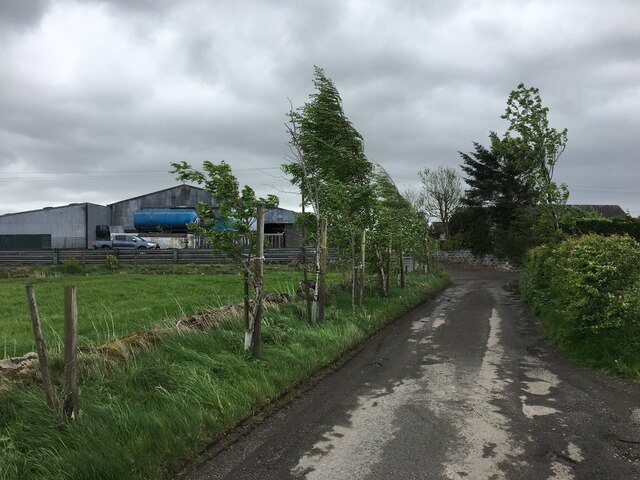
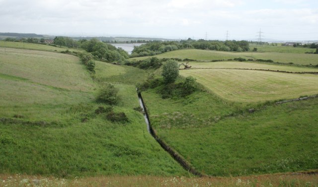
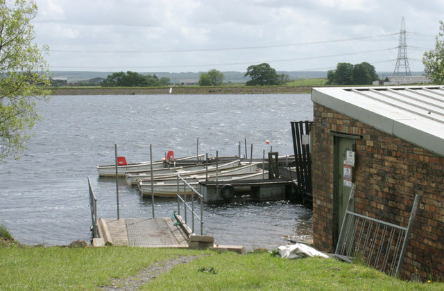
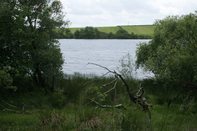
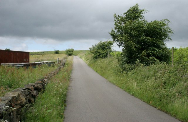
Drumbowie Reservoir is a freshwater loch located in Stirlingshire, Scotland. Situated within the picturesque Carron Valley Forest, it covers an area of approximately 60 hectares and is surrounded by rolling hills and dense woodlands. The reservoir was created in the 1930s as a water supply for the nearby towns of Denny and Bonnybridge.

Characterized by its calm and serene ambiance, Drumbowie Reservoir offers a tranquil retreat for nature enthusiasts and outdoor lovers. The loch is home to a diverse array of wildlife, including various species of birds such as herons, swans, and ducks. The surrounding woodlands provide a habitat for numerous small mammals, including squirrels and rabbits.

The crystal-clear waters of Drumbowie Reservoir attract anglers from far and wide. The loch is well-stocked with fish, including rainbow trout and brown trout, making it a haven for fishing enthusiasts. Permits can be obtained for those wishing to try their hand at angling.

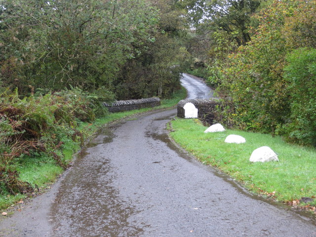
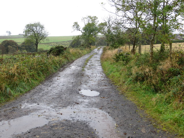
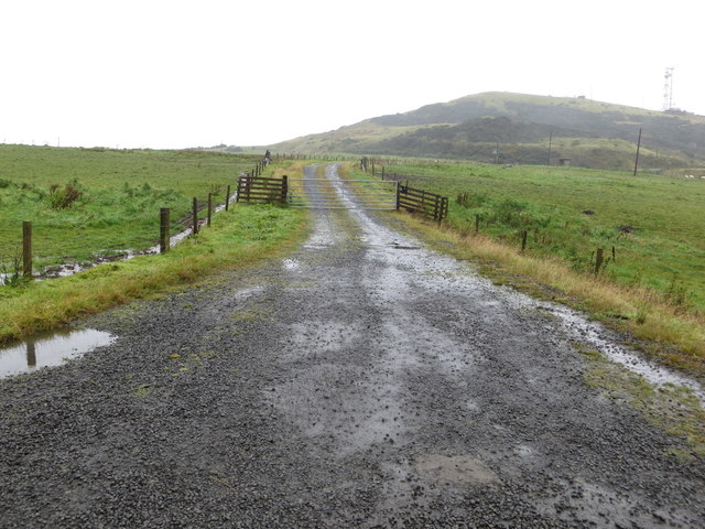
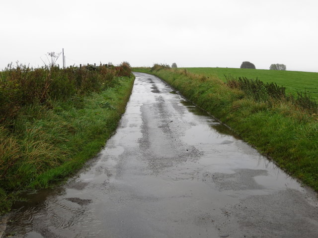
Surrounding the reservoir is a network of walking trails, which offer breathtaking views of the surrounding countryside. The Carron Valley Mountain Bike Trails are also easily accessible from Drumbowie Reservoir, providing an adrenaline-filled adventure for mountain bikers.

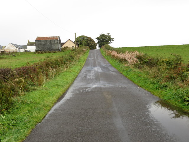
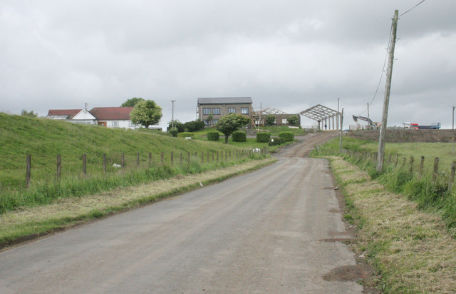
Drumbowie Reservoir is a popular spot for picnics and family outings, with several picnic tables and benches scattered along its shores. The reservoir is easily accessible by car, with a parking area available for visitors. Overall, Drumbowie Reservoir provides a peaceful and scenic escape for those seeking tranquility in the heart of Stirlingshire.

If you have any feedback on the listing, please let us know in the comments section below.

Drumbowie Reservoir Images

Images are sourced within 2km of 56.007638/-3.9412326 or Grid Reference NS7981. Thanks to Geograph Open Source API. All images are credited.

Minor road at Easter Banknock
Kelt Road between Braeface and Easter Kelt Looking north-eastward.
Kelt Road between Braeface and Easter Kelt
Looking north-eastward.
Track giving access to Wester Banknock Looking south-eastward.
Track giving access to Wester Banknock
Looking south-eastward.
Ordnance Survey Cut Mark This inverted mark can be for on a road bridge near Easter Wards.
The recorded details give a height of 107.951 metres above sea level.
For more detail see : <span class="nowrap"><a title="https://www.bench-marks.org.uk/bm171164" rel="nofollow ugc noopener" href="https://www.bench-marks.org.uk/bm171164">Link</a><img style="margin-left:2px;" alt="External link" title="External link - shift click to open in new window" src="https://s1.geograph.org.uk/img/external.png" width="10" height="10"/></span>
Ordnance Survey Cut Mark
This inverted mark can be for on a road bridge near Easter Wards. The recorded details give a height of 107.951 metres above sea level. For more detail see : LinkExternal link
Road crossing a bridge as it approaches Glenhead Looking north-westward.
Road crossing a bridge as it approaches Glenhead
Looking north-westward.
Track leading to Rashiehill Farm Looking south-westward.
Track leading to Rashiehill Farm
Looking south-westward.
Track leading to Myot Hill Looking northward.
Track leading to Myot Hill
Looking northward.
Road at the entrance to Myothill Mains Looking north-eastward.
Road at the entrance to Myothill Mains
Looking north-eastward.
Road approaching Blaefaulds Looking south-eastward.
Road approaching Blaefaulds
Looking south-eastward.
Road to Bowridge
Road to Bowridge
Little Denny Burn The burn leads into Little Denny Reservoir in the distance.
Little Denny Burn
The burn leads into Little Denny Reservoir in the distance.
Little Denny Reservoir The Little Denny Burn flows through the hollow in the foreground.
Little Denny Reservoir
The Little Denny Burn flows through the hollow in the foreground.
Drumbowie The embankment on the left is part of the dam wall for Drumbowie Reservoir.
Drumbowie
The embankment on the left is part of the dam wall for Drumbowie Reservoir.
Drumbowie Reservoir Boats beside the boathouse on the northern shore of the reservoir.
Drumbowie Reservoir
Boats beside the boathouse on the northern shore of the reservoir.
Drumbowie Reservoir A glimpse of the reservoir through the trees which grow most of the way along the northern shore.
Drumbowie Reservoir
A glimpse of the reservoir through the trees which grow most of the way along the northern shore.
Glenhead Photographed during a brief sunny period on a mainly wet day.
Glenhead
Photographed during a brief sunny period on a mainly wet day.
Glenhead Approaching the farm from the northwest. A crop of Christmas trees is growing in the field on the left.
Glenhead
Approaching the farm from the northwest. A crop of Christmas trees is growing in the field on the left.
Road to the northwest of Glenhead
Show me another place!

Drumbowie Reservoir is located at Grid Ref: NS7981 (Lat: 56.007638, Lng: -3.9412326)

Unitary Authority: Falkirk

Police Authority: Forth Valley

What 3 Words

///moisture.extremely.strange. Near Head of Muir, Falkirk

Nearby Locations

Drumbowie Reservoir

Related Wikis

Braeface

Braeface is a village in Falkirk, Scotland. == External links == Canmore - Braeface site record

Dennyloanhead railway station

Dennyloanhead railway station served the village of Longcroft, Falkirk, Scotland from 1888 to 1935 on the Kilsyth and Bonnybridge Railway. == History... ==

Longcroft, Falkirk

Longcroft is a small village in the Falkirk council area in Scotland. The village is located 5.7 miles (9.2 km) west-southwest of Falkirk along a stretch...

Stoneywood, Falkirk

Stoneywood is a small village which lies in the Falkirk council area of Scotland. The village is located 0.1 miles (0.2 km) west of Denny and 7.3 miles...

Nearby Amenities

Located within 500m of 56.007638,-3.9412326
Design: barrel
Power: tower
Lat/Long: 56.0038302/-3.9382071
Power: pole
Lat/Long: 56.0037143/-3.9431355
Power: pole
Lat/Long: 56.004073/-3.9424168
Power: pole
Lat/Long: 56.0045832/-3.9413502
Power: pole
Lat/Long: 56.0051167/-3.9402648
Power: pole
Lat/Long: 56.0055884/-3.9393149
Power: pole
Lat/Long: 56.0060881/-3.9382941
Power: pole
Lat/Long: 56.0066203/-3.9372296
Power: pole
Lat/Long: 56.0071444/-3.9361568
Power: pole
Lat/Long: 56.0072982/-3.9351256
Power: pole
Lat/Long: 56.0074473/-3.9340819
Power: pole
Lat/Long: 56.0034085/-3.9413033
Power: pole
Lat/Long: 56.0035471/-3.9437552
Power: pole
Lat/Long: 56.0034644/-3.9423136
Power: pole
Lat/Long: 56.0034376/-3.9404596
Power: pole
Lat/Long: 56.003603/-3.9399346
Power: pole
Lat/Long: 56.0040352/-3.9385264
Power: pole
Lat/Long: 56.004338/-3.937541
Power: pole
Lat/Long: 56.0047387/-3.9367744
Power: pole
Lat/Long: 56.0051394/-3.9360266
Power: pole
Lat/Long: 56.005547/-3.9352329
Power: pole
Lat/Long: 56.00607/-3.9349079
Power: pole
Lat/Long: 56.0066104/-3.9345683
Power: pole
Lat/Long: 56.0070041/-3.9343329
Power: pole
Lat/Long: 56.0076866/-3.9340954
Power: pole
Lat/Long: 56.0083085/-3.933908
Power: pole
Lat/Long: 56.0090155/-3.9336684
Power: pole
Lat/Long: 56.0094359/-3.9344496
Power: pole
Lat/Long: 56.0099507/-3.9348454
Power: pole
Lat/Long: 56.0104782/-3.9352912
Power: pole
Lat/Long: 56.0120364/-3.9413825
Power: pole
Lat/Long: 56.011552/-3.9428532
Power: pole
Lat/Long: 56.0110663/-3.9441052
Power: pole
Lat/Long: 56.010675/-3.9451426
Power: pole
Lat/Long: 56.0102476/-3.9461405
Power: pole
Lat/Long: 56.0038744/-3.9368765
The data included in this document is from www.openstreetmap.org. The data is made available under ODbL.

Have you been to Drumbowie Reservoir?

Leave your review of Drumbowie Reservoir below (or comments, questions and feedback).