Barr Loch
Lake, Pool, Pond, Freshwater Marsh in Kirkcudbrightshire
Scotland
Barr Loch

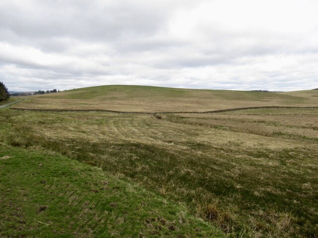
Barr Loch, located in Kirkcudbrightshire, Scotland, is a picturesque freshwater lake encompassing an area of approximately 100 acres. Situated amidst the rolling hills and lush greenery, the loch serves as an idyllic retreat for both locals and tourists alike.
The tranquil waters of Barr Loch offer a haven for various species of aquatic life, making it a popular spot for fishing enthusiasts. Anglers can be seen casting their lines in search of brown trout, pike, and perch, among other fish species.
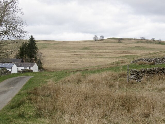
Surrounded by a diverse range of flora and fauna, Barr Loch is also home to a rich array of wildlife. Birdwatchers can delight in the sight of numerous waterfowl, including mallards, tufted ducks, and swans, as well as the occasional osprey soaring above the lake in search of prey.
The surrounding area of Barr Loch features a freshwater marsh, which acts as a natural filtration system, purifying the water and creating a suitable habitat for a wide variety of plant and animal life. The marshland is teeming with reeds, rushes, and water lilies, providing a picturesque backdrop and attracting a myriad of insects, amphibians, and small mammals.
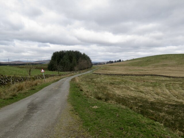
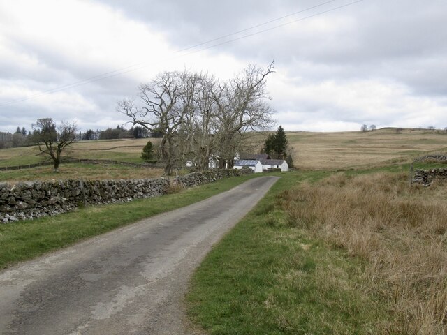
Visitors to Barr Loch can enjoy the tranquility and natural beauty of the surroundings by embarking on leisurely walks or picnicking on the banks. The stunning landscape and peaceful ambiance make Barr Loch a popular destination for nature enthusiasts, photographers, and those seeking a peaceful escape from the hustle and bustle of everyday life.
If you have any feedback on the listing, please let us know in the comments section below.
Barr Loch Images
Images are sourced within 2km of 55.098247/-3.9171329 or Grid Reference NX7779. Thanks to Geograph Open Source API. All images are credited.


Barr Loch is located at Grid Ref: NX7779 (Lat: 55.098247, Lng: -3.9171329)
Unitary Authority: Dumfries and Galloway
Police Authority: Dumfries and Galloway
What 3 Words
///ballroom.footballers.screeches. Near Castle Douglas, Dumfries & Galloway
Nearby Locations
Related Wikis

Dumfries and Galloway
Dumfries and Galloway (Scots: Dumfries an Gallowa; Scottish Gaelic: Dùn Phrìs is Gall-Ghaidhealaibh) is one of the 32 unitary council areas of Scotland...

Craigenputtock
Craigenputtock (usually spelled by the Carlyles as Craigenputtoch) is an estate in Scotland where Thomas Carlyle lived from 1828 to 1834. He wrote several...

Corsock
Corsock (Scottish Gaelic: Corsag) is a village in the historical county of Kirkcudbrightshire, Dumfries and Galloway, south-west Scotland. It is located...

Glenkiln Sculpture Park
Glenkiln Sculpture Park was a sculpture landscape in the historic county of Kirkcudbrightshire in Dumfries and Galloway, south-west Scotland. After one...

Loch Skae
Loch Skae is a small, upland freshwater loch to the north of Blackcraig Hill, approximately 18 miles (29 km) west of Dumfries, Scotland, 0.5 mi (0.80 km...

Glenlair House
Glenlair, near the village of Corsock in the historical county of Kirkcudbrightshire, in Dumfries and Galloway, was the home of the physicist James Clerk...
Stepford railway station
Stepford (NX864815) was one of the minor request stop stations on the Cairn Valley Light Railway branch from Dumfries. It served a very rural area in...

Loch Howie
Loch Howie is a small, narrow, upland freshwater loch on the north side of Blackcraig Hill, approximately 18 miles (29 km) west of Dumfries, Scotland....
Have you been to Barr Loch?
Leave your review of Barr Loch below (or comments, questions and feedback).