Black Loch

Lake, Pool, Pond, Freshwater Marsh in Kirkcudbrightshire

Scotland

Black Loch

The track to Cuil Farm Cuil Farm is hidden over the brow of the hill.
The track to Cuil Farm Credit: Peter Mackenzie

Black Loch is a picturesque freshwater loch located in Kirkcudbrightshire, Scotland. Nestled amidst serene surroundings, this natural water body covers an area of approximately 50 acres. It is often referred to as a loch, but its size and characteristics make it more akin to a large pool or pond. The loch is situated about 3 miles southeast of the town of Kirkcudbright and is easily accessible to visitors.

Surrounded by rolling hills and dense woodland, Black Loch offers a stunning and tranquil setting. The water is crystal clear and supports a diverse range of aquatic life, including various species of fish, waterfowl, and amphibians. The loch is a haven for nature enthusiasts and birdwatchers, with sightings of herons, swans, ducks, and other water birds being quite common.

The loch's surroundings also feature a freshwater marsh, which provides a vital habitat for a variety of plants and animals. This marshland is home to unique species of flora, including water lilies, reeds, and rushes, which add to the loch's aesthetic appeal.

For visitors seeking outdoor activities, Black Loch offers excellent opportunities for fishing and boating. Anglers can expect to catch brown trout, pike, and perch, making it a popular spot for both recreational and competitive fishing. Additionally, rowing boats and canoes are available for rent, allowing visitors to explore the tranquil waters and take in the breathtaking scenery.

Overall, Black Loch is a hidden gem in Kirkcudbrightshire, offering a peaceful retreat for nature lovers, anglers, and those seeking a tranquil escape amidst the beauty of Scotland's countryside.

If you have any feedback on the listing, please let us know in the comments section below.

Black Loch Images

Images are sourced within 2km of 54.934925/-3.9207636 or Grid Reference NX7761. Thanks to Geograph Open Source API. All images are credited.

The track to Cuil Farm Cuil Farm is hidden over the brow of the hill.
The track to Cuil Farm
Cuil Farm is hidden over the brow of the hill.
Footpath at Kelton With two kissing gates where the path crosses a field entrance.
Footpath at Kelton
With two kissing gates where the path crosses a field entrance.
Castle Douglas Lovely Scottish Town
Castle Douglas
Lovely Scottish Town
Entry of former Carlingwark Canal into Carlingwark Loch, Castle Douglas, Dumfries & Galloway The canal was built in the late 18th century to link Carlingwark Loch with the River Dee by Alexander Gordon, a local landowner
Entry of former Carlingwark Canal into Carlingwark Loch, Castle Douglas, Dumfries & Galloway
The canal was built in the late 18th century to link Carlingwark Loch with the River Dee by Alexander Gordon, a local landowner
Castle Douglas A view of the main street heading for Stranraer
Castle Douglas
A view of the main street heading for Stranraer
Castle Douglas A coach party is heading home
Castle Douglas
A coach party is heading home
Castle Douglas  Library It is in the centre of the town
Castle Douglas Library
It is in the centre of the town
Clydesdale bank, Castle Douglas It is in the centre of the town
Clydesdale bank, Castle Douglas
It is in the centre of the town
Don Philpott, Daughter and Granddaughters Men out of the equation..
Don Philpott, Daughter and Granddaughters
Men out of the equation..
Douglas Arms Hotel Located in Castle Douglas
Douglas Arms Hotel
Located in Castle Douglas
Fred Ballard, Castle Douglas The local butcher
Fred Ballard, Castle Douglas
The local butcher
Little's Castle Douglas A quaint looking shop
Little's Castle Douglas
A quaint looking shop
Mitchells Greengrocers and Fishmongers Located in Castle Douglas
Mitchells Greengrocers and Fishmongers
Located in Castle Douglas
PAWS 4 CLAWS, Castle Douglas Located along the main road
PAWS 4 CLAWS, Castle Douglas
Located along the main road
The Great Wall Chinese takeaway, Castle Douglas A fine stone building, typical of the area
The Great Wall Chinese takeaway, Castle Douglas
A fine stone building, typical of the area
Tessera, Castle Douglas This shop is on the main street
Tessera, Castle Douglas
This shop is on the main street
The Bible Shop, Castle Douglas Located near the town centre
The Bible Shop, Castle Douglas
Located near the town centre
The Body and Soul Company, Castle Douglas On the main road
The Body and Soul Company, Castle Douglas
On the main road
Show me another place!

Black Loch is located at Grid Ref: NX7761 (Lat: 54.934925, Lng: -3.9207636)

Unitary Authority: Dumfries and Galloway

Police Authority: Dumfries and Galloway

What 3 Words

///tries.usage.detriment. Near Castle Douglas, Dumfries & Galloway

Related Wikis

Castle Douglas Hospital

Castle Douglas Hospital is a health facility in Academy Street, Castle Douglas, Dumfries and Galloway, Scotland. It is managed by NHS Dumfries and Galloway...

The Fullarton

The Fullarton is a performing arts theatre and entertainment venue in the town of Castle Douglas in the historical county of Kirkcudbrightshire in Dumfries...
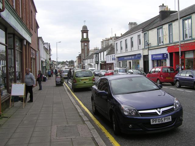
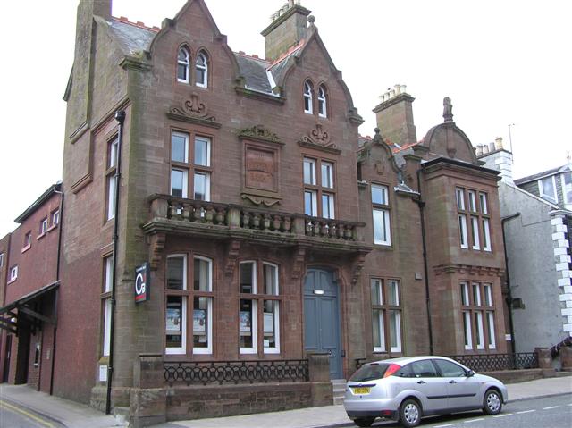
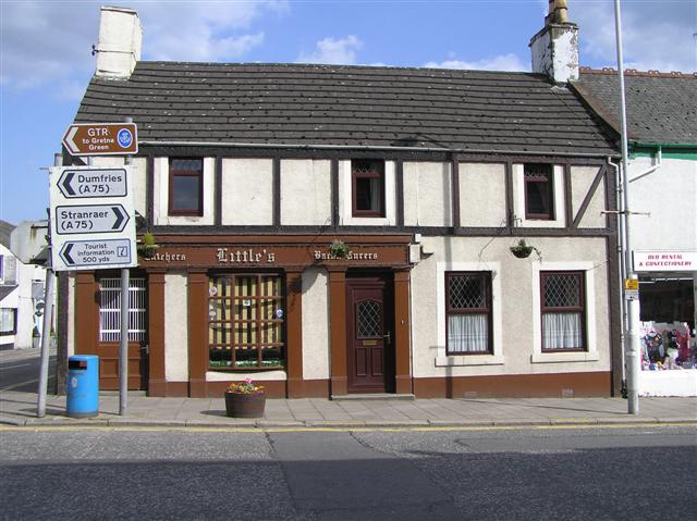
Castle Douglas

Castle Douglas (Scottish Gaelic: Caisteal Dhùghlais) is a town in Dumfries and Galloway, Scotland. It lies in the lieutenancy area of Kirkcudbrightshire...

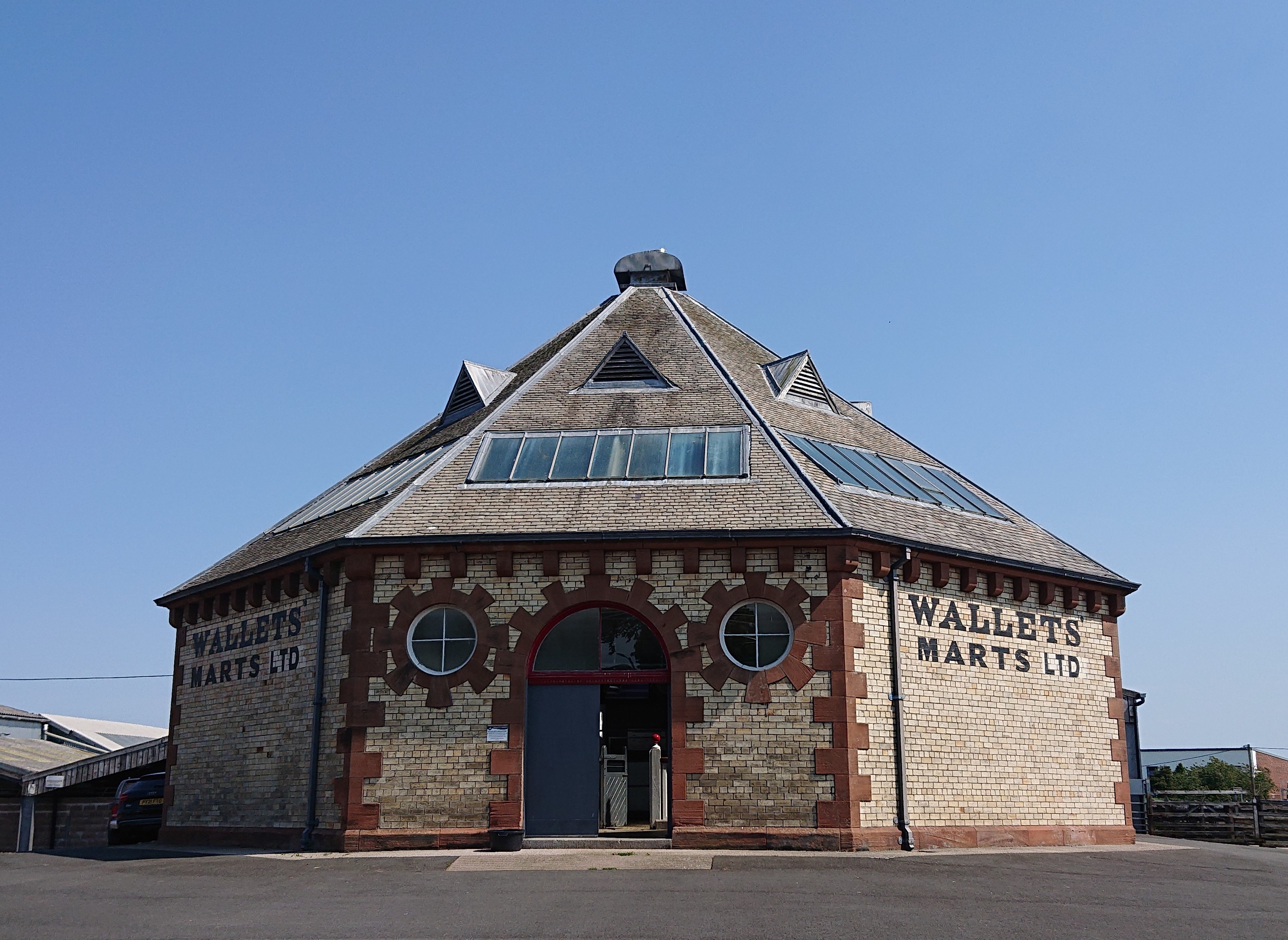
Castle Douglas Auction Mart

The Auction Mart on New Market Street in Castle Douglas is an octagonal building, constructed around 1900 as a cattle market, and used for that purpose...

Castle Douglas St Andrew Street railway station

Castle Douglas St Andrew Street railway station served the town of Castle Douglas, Dumfries and Galloway, Scotland, from 1864 to 1867 on the Kirkcudbright...

Carlingwark Loch

Carlingwark Loch is a small freshwater loch in the historical county of Kirkcudbrightshire, Dumfries and Galloway, Scotland lying just south of Castle...

Castle Douglas railway station

Castle Douglas railway station served the town of Castle Douglas, Dumfries and Galloway, Scotland from 1859 to 1965 on the Castle Douglas and Dumfries...

Threave Rovers F.C.

Threave Rovers Football Club are a football club from Castle Douglas in Dumfries and Galloway, Scotland. Formed in October 1953, the club plays its home...

Nearby Amenities

Located within 500m of 54.934925,-3.9207636
Queen Elizabeth Drive
Naptan AtcoCode: 680003002222
Naptan Bearing: SE
Naptan BusStopType: CUS
Naptan CommonName: Queen Elizabeth Drive
Naptan Indicator: Turning Area
Naptan NaptanCode: 34238684
Naptan Street: Queen Elizabeth Drive
Naptan Verified: no
Source: naptan_import
Lat/Long: 54.9370868/-3.9235902
Power: pole
Lat/Long: 54.9328347/-3.9143616
Power: pole
Lat/Long: 54.9343217/-3.9147934
Power: pole
Lat/Long: 54.9350383/-3.9140451
Power: pole
Lat/Long: 54.93565/-3.913455
Power: pole
Lat/Long: 54.9368319/-3.9228642
Power: pole
Lat/Long: 54.936687/-3.9215499
Power: pole
Lat/Long: 54.9365807/-3.9203537
Power: pole
Lat/Long: 54.9359335/-3.9185619
Power: pole
Lat/Long: 54.9353357/-3.9168453
Power: pole
Lat/Long: 54.9358565/-3.9157537
Power: pole
Lat/Long: 54.9363989/-3.9146459
Power: pole
Lat/Long: 54.9361866/-3.9141256
Power: pole
Lat/Long: 54.9355964/-3.915008
Power: pole
Lat/Long: 54.9351773/-3.9156652
Power: pole
Lat/Long: 54.9346734/-3.9162231
Power: pole
Lat/Long: 54.9338875/-3.9170921
Power: pole
Lat/Long: 54.9333821/-3.9176232
Power: pole
Lat/Long: 54.9327225/-3.9183635
Power: pole
Lat/Long: 54.9319936/-3.9191869
Power: pole
Lat/Long: 54.9313363/-3.9198629
Power: pole
Lat/Long: 54.9307045/-3.9205522
Barrier: kissing_gate
Lat/Long: 54.9332212/-3.9255639
Source: OS OpenData Vectormap District
Lat/Long: 54.9347078/-3.9209796
Source: OS OpenData Vectormap District
Lat/Long: 54.9346867/-3.9209118
Source: OS OpenData Vectormap District
Lat/Long: 54.9346951/-3.9207611
Source: OS OpenData Vectormap District
Lat/Long: 54.934709/-3.9206926
Source: OS OpenData Vectormap District
Lat/Long: 54.9347266/-3.9206588
Source: OS OpenData Vectormap District
Lat/Long: 54.9347275/-3.9205552
Source: OS OpenData Vectormap District
Lat/Long: 54.9347461/-3.9204911
Source: OS OpenData Vectormap District
Lat/Long: 54.9347552/-3.9204772
Source: OS OpenData Vectormap District
Lat/Long: 54.9347766/-3.920474
Source: OS OpenData Vectormap District
Lat/Long: 54.9348107/-3.9204158
Source: OS OpenData Vectormap District
Lat/Long: 54.934844/-3.9203275
Source: OS OpenData Vectormap District
Lat/Long: 54.9348822/-3.9202809
Source: OS OpenData Vectormap District
Lat/Long: 54.9350295/-3.9201957
Source: OS OpenData Vectormap District
Lat/Long: 54.935058/-3.9201908
Source: OS OpenData Vectormap District
Lat/Long: 54.9350813/-3.9202044
Source: OS OpenData Vectormap District
Lat/Long: 54.9351091/-3.920238
Source: OS OpenData Vectormap District
Lat/Long: 54.935126/-3.9202797
Source: OS OpenData Vectormap District
Lat/Long: 54.9351515/-3.9204917
Source: OS OpenData Vectormap District
Lat/Long: 54.9351454/-3.9206314
Source: OS OpenData Vectormap District
Lat/Long: 54.9350996/-3.9209247
Source: OS OpenData Vectormap District
Lat/Long: 54.9350573/-3.9210076
Source: OS OpenData Vectormap District
Lat/Long: 54.9349862/-3.9210876
Source: OS OpenData Vectormap District
Lat/Long: 54.9349342/-3.921129
Source: OS OpenData Vectormap District
Lat/Long: 54.9348761/-3.9211499
Source: OS OpenData Vectormap District
Lat/Long: 54.9347934/-3.9211241
Power: pole
Lat/Long: 54.9386126/-3.9169898
Power: pole
Lat/Long: 54.9387163/-3.918069
Power: pole
Lat/Long: 54.9388286/-3.9191397
Power: pole
Lat/Long: 54.9389372/-3.9202508
Power: pole
Lat/Long: 54.9390568/-3.9214235
Power: pole
Lat/Long: 54.9389897/-3.9224178
Power: pole
Lat/Long: 54.9386358/-3.9234906
Waste Basket
Lat/Long: 54.9358393/-3.9282554
Drinking Water
Lat/Long: 54.935853/-3.9282252
Life Ring
Emergency: life_ring
Lat/Long: 54.9348735/-3.9274766
Life Ring
Emergency: life_ring
Lat/Long: 54.9350218/-3.9280438
The data included in this document is from www.openstreetmap.org. The data is made available under ODbL.

Have you been to Black Loch?

Leave your review of Black Loch below (or comments, questions and feedback).