Goosemoor

Settlement in Devon East Devon

England

Goosemoor

Aylesbeare Common Trig Point Flush Bracket S3901
Aylesbeare Common Trig Point Flush Bracket S3901 Credit: thejackrustles

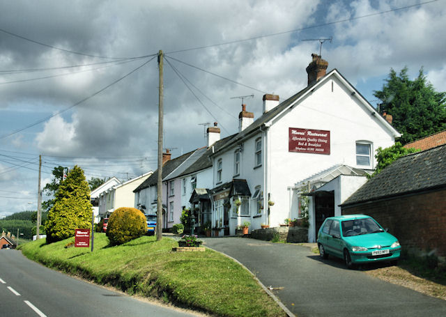
Goosemoor is a small village located in the county of Devon, England. Situated in the southwestern part of the country, it is nestled amidst picturesque countryside and rolling hills. The village is part of the East Devon district and falls within the civil parish of Sidmouth.

With a population of around 400 residents, Goosemoor exudes a charming rural ambiance that attracts visitors seeking tranquility and natural beauty. The village is predominantly residential, with traditional stone cottages and farmhouses dotting the landscape. The surrounding fields and farmland add to the village's idyllic charm.

Goosemoor benefits from its close proximity to the stunning Jurassic Coast, a UNESCO World Heritage Site renowned for its geological and fossil significance. Visitors to Goosemoor can easily access the nearby coastal towns of Sidmouth and Branscombe, where they can enjoy sandy beaches, cliff walks, and panoramic sea views.

Although Goosemoor is primarily a residential area, it does have a few amenities to cater to both locals and visitors. These include a local pub, a village hall, and a small convenience store. The village also boasts a strong sense of community, with various social events and gatherings organized throughout the year.

Overall, Goosemoor offers a peaceful and scenic retreat for those looking to escape the hustle and bustle of modern life. Its rural charm, proximity to the coast, and friendly community make it a desirable destination for nature enthusiasts and those seeking a slower pace of life.

If you have any feedback on the listing, please let us know in the comments section below.
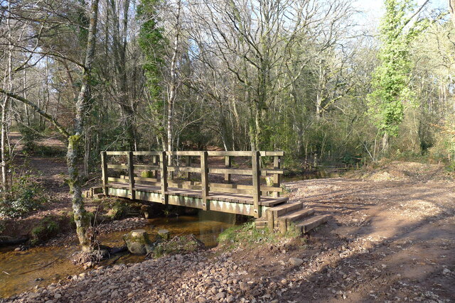
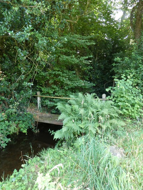
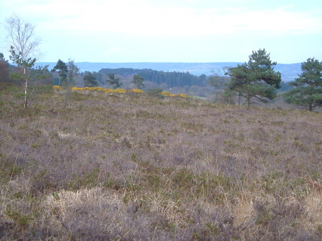
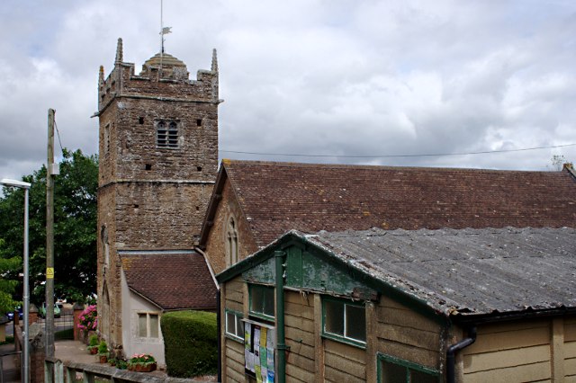
Goosemoor Images

Images are sourced within 2km of 50.693026/-3.3321973 or Grid Reference SY0689. Thanks to Geograph Open Source API. All images are credited.

Aylesbeare Common Trig Point Flush Bracket S3901
Track across Aylesbeare Common This common, another of the Pebblebed Heaths, is managed by the RSPB with the  chance to see rarer birds like the Dartford warbler and nightjar <span class="nowrap"><a title="https://www.rspb.org.uk/reserves-and-events/reserves-a-z/aylesbeare-common" rel="nofollow ugc noopener" href="https://www.rspb.org.uk/reserves-and-events/reserves-a-z/aylesbeare-common">Link</a><img style="margin-left:2px;" alt="External link" title="External link - shift click to open in new window" src="https://s1.geograph.org.uk/img/external.png" width="10" height="10"/></span>
Track across Aylesbeare Common
This common, another of the Pebblebed Heaths, is managed by the RSPB with the chance to see rarer birds like the Dartford warbler and nightjar LinkExternal link
The East Devon Way entering Harpford Common The seventh, and final Pebblebed Heath common crossed by the East Devon Way
The East Devon Way entering Harpford Common
The seventh, and final Pebblebed Heath common crossed by the East Devon Way
Footbridge on the northern boundary of Harpford Common Taking the East Devon Way over a tributary of the River Otter
Footbridge on the northern boundary of Harpford Common
Taking the East Devon Way over a tributary of the River Otter
Old Boundary Marker on the B3180 on Woodbury Common Parish Boundary Marker on the southeast side of the B3180 on Woodbury Common. On the boundary of Woodbury and Colaton Raleigh parishes. The reverse is inscribed for Woodbury Parish. See also <a title="https://www.geograph.org.uk/photo/2343381" href="https://www.geograph.org.uk/photo/2343381">Link</a>.

Milestone Society National ID: DV_EMAY04pb
Old Boundary Marker on the B3180 on Woodbury Common
Parish Boundary Marker on the southeast side of the B3180 on Woodbury Common. On the boundary of Woodbury and Colaton Raleigh parishes. The reverse is inscribed for Woodbury Parish. See also Link. Milestone Society National ID: DV_EMAY04pb
Nature reserve track
Easy Devon Way Sign
Easy Devon Way Sign
Aylesbeare Common RSPB Sign
Field west of Colaton Raleigh
Impressive house chimneys, Kitts Hayes, Colaton Raleigh
Ford at Stowford
Ford at Stowford
Footbridge at Stowford
Old footbridge at Stowford This leads from the road into a field, and does not correspond to a public footpath
Old footbridge at Stowford
This leads from the road into a field, and does not correspond to a public footpath
Farm entrance at Stowford
Farmyard at Stowford One of the sheds is used as an honesty cafe, with hot drinks and home-made cakes.
Farmyard at Stowford
One of the sheds is used as an honesty cafe, with hot drinks and home-made cakes.
Field east of Colaton Raleigh Common Looking towards the village of Colaton Raleigh and the valley of the River Otter
Field east of Colaton Raleigh Common
Looking towards the village of Colaton Raleigh and the valley of the River Otter
Signpost at Hawkerland Cross
Naps Lane to Hawkerland
Show me another place!

Goosemoor is located at Grid Ref: SY0689 (Lat: 50.693026, Lng: -3.3321973)

Administrative County: Devon

District: East Devon

Police Authority: Devon and Cornwall

What 3 Words

///maternal.grudging.sliders. Near Newton Poppleford, Devon

Related Wikis

Aylesbeare Common

Aylesbeare Common is a protected area in Devon, England. It is composed largely of heathland and woodland, interspersed with a few streams and ponds....

Fire Beacon Hill

Fire Beacon Hill is a Local Nature Reserve in East Devon, England. It is registered as Common land and known as Harpford Common. Sidmouth Town Council...

Newton Poppleford and Harpford

Newton Poppleford and Harpford is a civil parish in East Devon, England. It is surrounded clockwise from the north by the parishes of Ottery St Mary, Sidmouth...

Newton Poppleford

Newton Poppleford is a large village and former civil parish situated on the A3052 road between Exeter and Sidmouth on the west side of the River Otter...

Nearby Amenities

Located within 500m of 50.693026,-3.3321973
Hawkerland
Place: hamlet
Lat/Long: 50.6906298/-3.3345545
Stoneyford
Place: hamlet
Lat/Long: 50.6910602/-3.3268964
Hawkerland Cross
Place: locality
Lat/Long: 50.6899569/-3.331777
Hawkerland Valley
Place: locality
Lat/Long: 50.695034/-3.338541
The data included in this document is from www.openstreetmap.org. The data is made available under ODbL.

Have you been to Goosemoor?

Leave your review of Goosemoor below (or comments, questions and feedback).