Goosehill Green

Settlement in Worcestershire Wychavon

England

Goosehill Green

Derelict windpump near Saleway Farm One of several non-working windpumps in this area. This one has lost its rotor assembly.
Derelict windpump near Saleway Farm Credit: Chris Allen

Goosehill Green is a picturesque village located in the county of Worcestershire, England. Situated just a few miles north of the bustling city of Worcester, this idyllic rural settlement is known for its tranquil countryside setting and rich history.

The village is surrounded by lush green fields, rolling hills, and meandering streams, making it a haven for nature lovers and outdoor enthusiasts. The area is dotted with charming cottages, some dating back several centuries, which add to the village's timeless charm. The village center is home to a quaint parish church, St. Mary's, which stands as a testament to the area's historical significance.

Goosehill Green offers a range of amenities to its residents, including a local pub, The Green Goose, where locals and visitors alike can enjoy traditional British fare and a warm, friendly atmosphere. The village also boasts a primary school, providing education to the local children.

The surrounding countryside provides ample opportunities for outdoor activities, such as hiking, cycling, and horseback riding. The nearby Malvern Hills, an Area of Outstanding Natural Beauty, offer breathtaking views and challenging trails for those seeking a more adventurous experience.

Goosehill Green is well-connected to larger towns and cities in the region, with easy access to major road networks and public transportation. Its proximity to Worcester allows residents to enjoy the amenities of a city while still benefiting from the tranquility of village life.

Overall, Goosehill Green is a charming and picturesque village that offers a peaceful and idyllic lifestyle in the heart of Worcestershire's countryside.

If you have any feedback on the listing, please let us know in the comments section below.

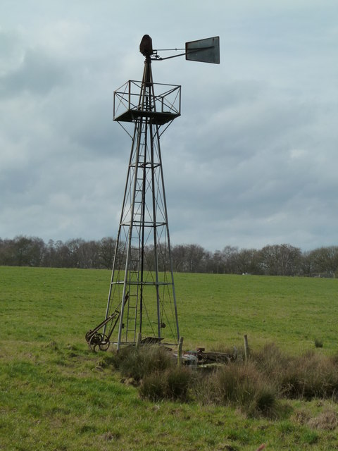
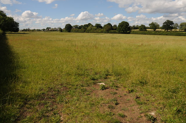
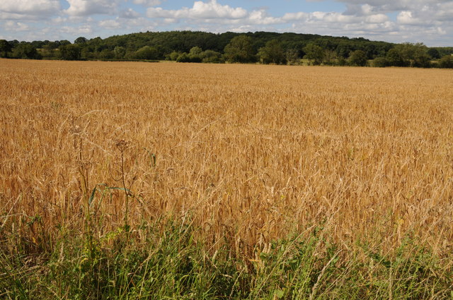
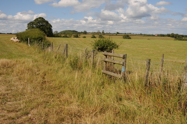
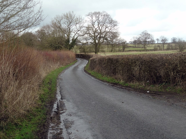
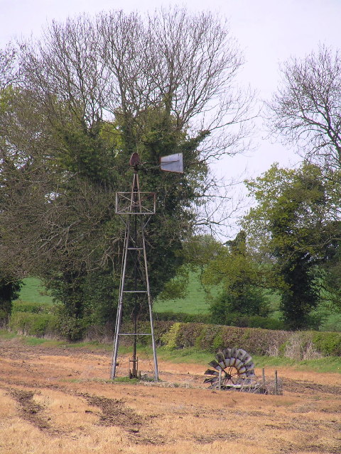
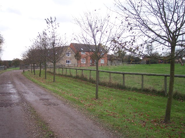
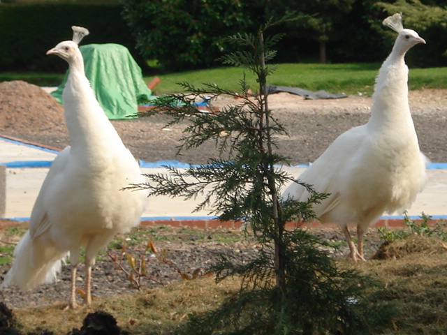
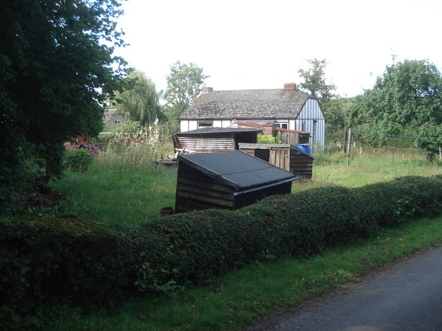
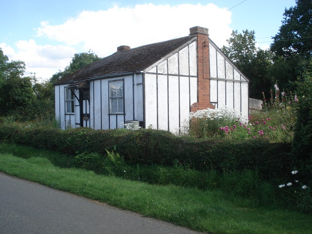
Goosehill Green Images

Images are sourced within 2km of 52.248912/-2.09928 or Grid Reference SO9361. Thanks to Geograph Open Source API. All images are credited.

Derelict windpump near Saleway Farm One of several non-working windpumps in this area. This one has lost its rotor assembly.
Derelict windpump near Saleway Farm
One of several non-working windpumps in this area. This one has lost its rotor assembly.
High Speed Train at Dunhampstead A High Speed Train is about to pass over the level crossing at Dunhampstead with a southbound service. The leading power car is No 43100.
High Speed Train at Dunhampstead
A High Speed Train is about to pass over the level crossing at Dunhampstead with a southbound service. The leading power car is No 43100.
Farmland at Saleway Farmland between Sale Green and Saleway.
Farmland at Saleway
Farmland between Sale Green and Saleway.
Barley field near Himbleton View across a field of barley between Saleway and Himbleton.  Puckhill Wood can be seen in the background.
Barley field near Himbleton
View across a field of barley between Saleway and Himbleton. Puckhill Wood can be seen in the background.
Farmland near Shell Farmland to the west of Shell.
Farmland near Shell
Farmland to the west of Shell.
The way to the railway and stile for the crossing. The northern end of Trench Wood, near the road/level crossing, Dunhampstead.
The way to the railway and stile for the crossing.
The northern end of Trench Wood, near the road/level crossing, Dunhampstead.
Lane to Saleway
Lane to Saleway
Windpump. Broken old windpump at SO923596.
Windpump.
Broken old windpump at SO923596.
Woodhouse Farm Looking south
Woodhouse Farm
Looking south
White peacocks at Saleway Farm
Saleway Farm Viewed from the lane near Trench Wood.
Saleway Farm
Viewed from the lane near Trench Wood.
Garden sheds at Saleway What's the collective noun for garden sheds? This little garden has five.
Garden sheds at Saleway
What's the collective noun for garden sheds? This little garden has five.
Cottage at Saleway Prefab-style cottage with a rustic cottage garden.
Cottage at Saleway
Prefab-style cottage with a rustic cottage garden.
Lane junction at Saleway Looking south-east on the lane to Woodhouse Farm.
Lane junction at Saleway
Looking south-east on the lane to Woodhouse Farm.
Paddocks near Lower Saleway Farm Entrance to horse paddocks with Puckhill Wood in the distance.
Paddocks near Lower Saleway Farm
Entrance to horse paddocks with Puckhill Wood in the distance.
Bridge 30 on the Worcester & Birmingham Canal Looking northwards with the Dunhampstead basin just beyond.
Bridge 30 on the Worcester & Birmingham Canal
Looking northwards with the Dunhampstead basin just beyond.
Daunting sign at Saleway Farm The good news: a) the public footpath has been re-routed around the hedge to the right; b) we don't have a dog. The bad news: the next field contained a narrow half-acre paddock through which the public footpath ran; the paddock contained a rather large bull. Sometimes the vibes tell you that walkers are not all that welcome.
Daunting sign at Saleway Farm
The good news: a) the public footpath has been re-routed around the hedge to the right; b) we don't have a dog. The bad news: the next field contained a narrow half-acre paddock through which the public footpath ran; the paddock contained a rather large bull. Sometimes the vibes tell you that walkers are not all that welcome.
Level crossing at Dunhampstead A profusion of signs here, including that of the excellent Fir Tree Inn, with its car park on the left.
Level crossing at Dunhampstead
A profusion of signs here, including that of the excellent Fir Tree Inn, with its car park on the left.
Show me another place!

Goosehill Green is located at Grid Ref: SO9361 (Lat: 52.248912, Lng: -2.09928)

Administrative County: Worcestershire

District: Wychavon

Police Authority: West Mercia

What 3 Words

///installs.contoured.smirks. Near Droitwich, Worcestershire

Nearby Locations

Goosehill Green

Related Wikis

Droitwich Road railway station

Droitwich Road railway station served the town of Droitwich Spa, Worcestershire, England, from 1840 to 1855 on the Birmingham and Gloucester Railway....

Dunhampstead

Dunhampstead is a small village in the English county of Worcestershire. It is located about 6 miles to the north-east of Worcester and around half a...

Hadzor

Hadzor is a small village near Droitwich, Worcestershire, England. There are around fourteen houses and a Roman Catholic church in the village, although...

Mere Green, Worcestershire

Mere Green is a hamlet in the English county of Worcestershire. It is located south of the village of Hanbury roughly midway between Worcester and Redditch...

Nearby Amenities

Located within 500m of 52.248912,-2.09928
Goosehill Green
Place: hamlet
Source: NPE
Lat/Long: 52.2485024/-2.0999073
Barrier: stile
Foot: yes
Lat/Long: 52.246637/-2.1046171
Power: pole
Lat/Long: 52.2493299/-2.1062687
Barrier: stile
Foot: yes
Lat/Long: 52.2494629/-2.1061273
Hay Lane Hadzor
Power: pole
Transformer: distribution
Voltage Primary: 11000
Lat/Long: 52.249626/-2.1063672
Goosehill Green
Power: pole
Transformer: distribution
Voltage Primary: 11000
Lat/Long: 52.2491826/-2.0950815
Power: pole
Lat/Long: 52.2493714/-2.0943975
Power: pole
Lat/Long: 52.2493271/-2.0936613
Lower Goosehill Farm
Power: pole
Transformer: distribution
Voltage Primary: 11000
Lat/Long: 52.2492811/-2.0929156
Power: pole
Lat/Long: 52.2492318/-2.0922451
Location Transition: yes
Power: pole
Lat/Long: 52.2471627/-2.092744
Power: pole
Lat/Long: 52.2481883/-2.0920466
The data included in this document is from www.openstreetmap.org. The data is made available under ODbL.

Have you been to Goosehill Green?

Leave your review of Goosehill Green below (or comments, questions and feedback).