Gooseberry Green
Settlement in Essex Basildon
England
Gooseberry Green

The requested URL returned error: 429 Too Many Requests
If you have any feedback on the listing, please let us know in the comments section below.
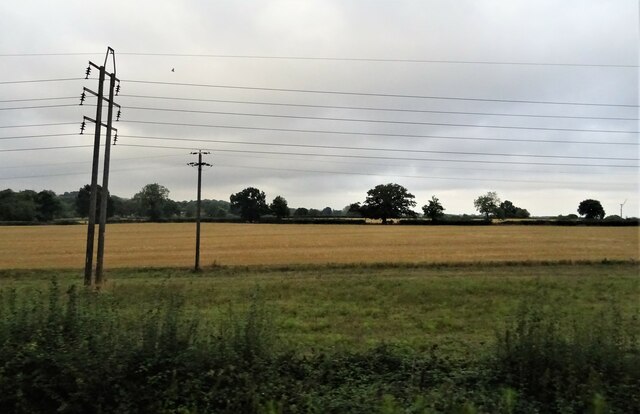
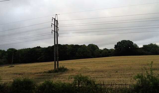
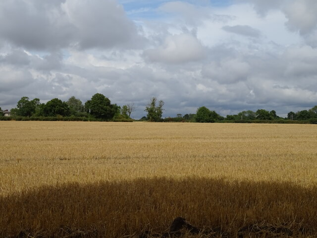
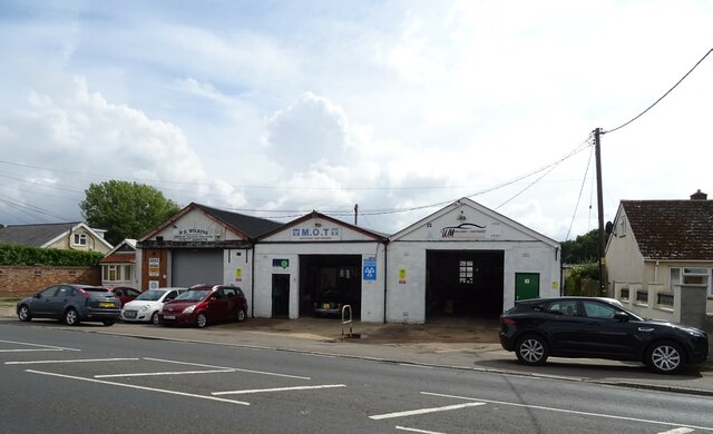
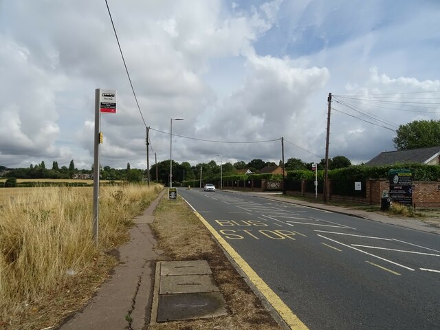
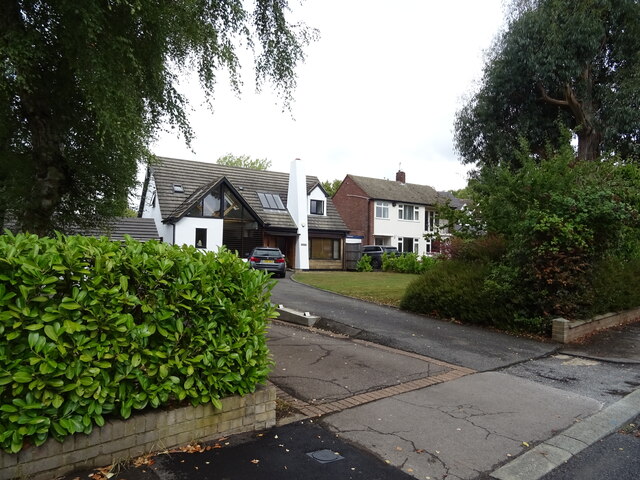
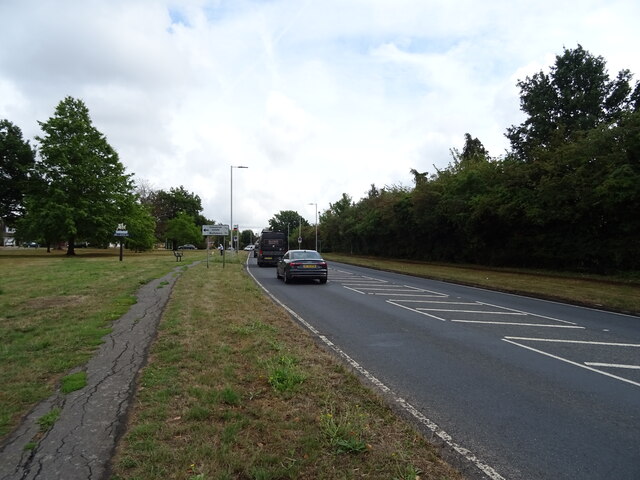
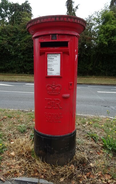
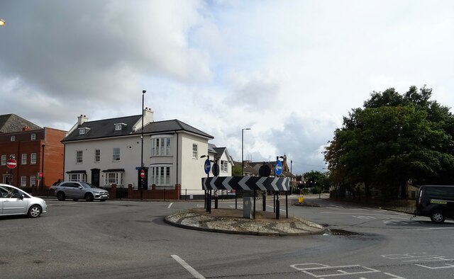
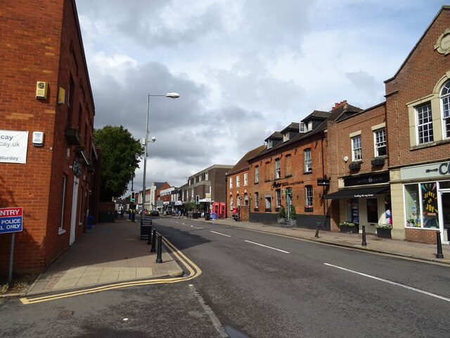
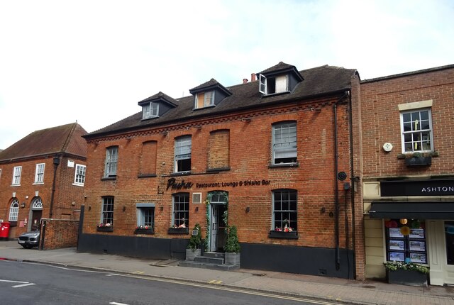
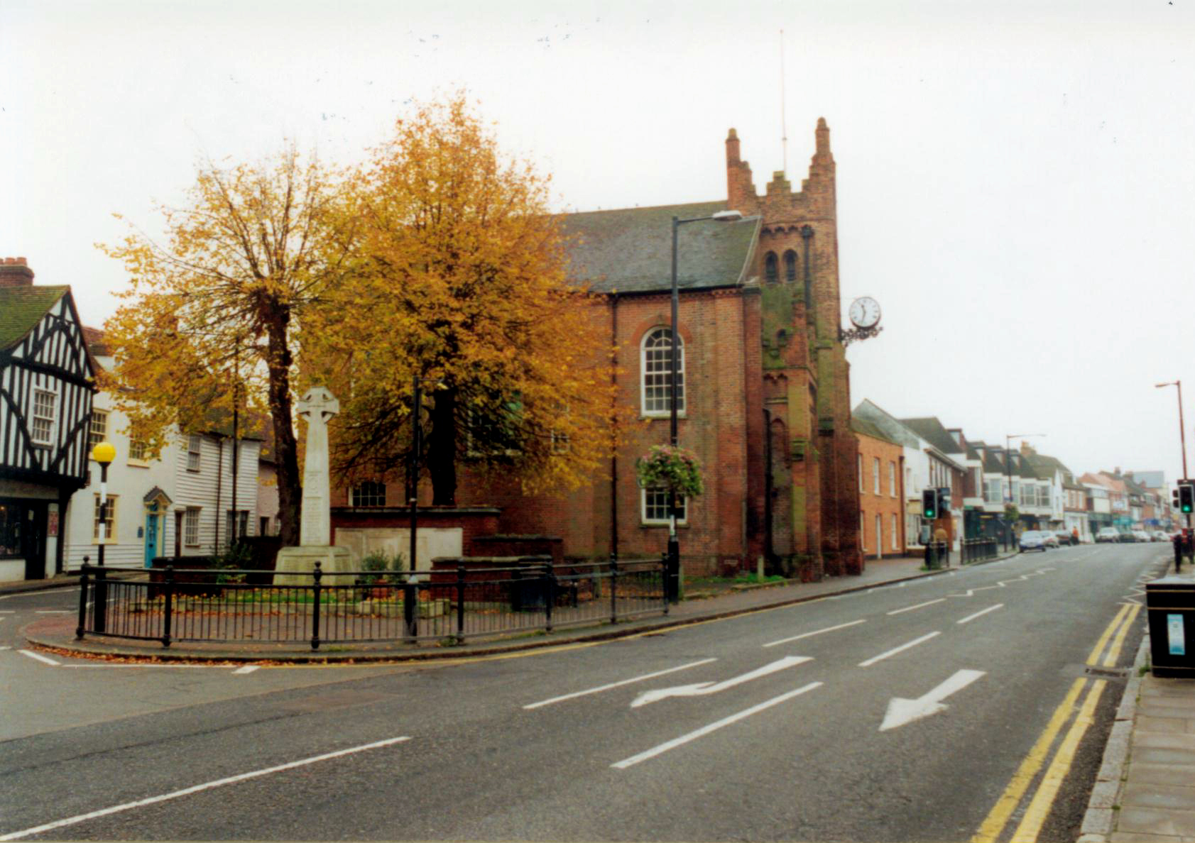
Gooseberry Green Images
Images are sourced within 2km of 51.631714/0.409566 or Grid Reference TQ6695. Thanks to Geograph Open Source API. All images are credited.


Gooseberry Green is located at Grid Ref: TQ6695 (Lat: 51.631714, Lng: 0.409566)
Administrative County: Essex
District: Basildon
Police Authority: Essex
What 3 Words
///smile.pulled.libraries. Near Billericay, Essex
Nearby Locations
Related Wikis

Lake Meadows
Lake Meadows is a park in Billericay, Essex, England. It is the site of many local events, including Billericay Fireworks and small-scale concerts. The...
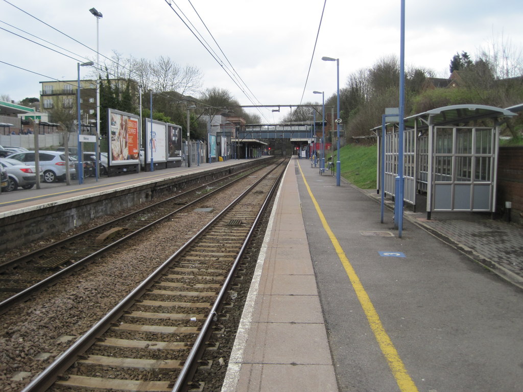
Billericay railway station
Billericay railway station is on the Shenfield to Southend Line in the east of England, serving the town of Billericay in the Basildon district of the...
Billericay
Billericay ( BIL-ə-RIK-ee) is a town and civil parish in the Borough of Basildon in Essex, England. It lies within the London Basin and is 25 miles (40...

Cater Museum
The Cater Museum is a small local museum in Billericay, Essex county, England. The museum was established by Alice May Cater, in honour of her late husband...
Nearby Amenities
Located within 500m of 51.631714,0.409566Have you been to Gooseberry Green?
Leave your review of Gooseberry Green below (or comments, questions and feedback).