Bray Reservoir

Lake, Pool, Pond, Freshwater Marsh in Devon North Devon

England

Bray Reservoir

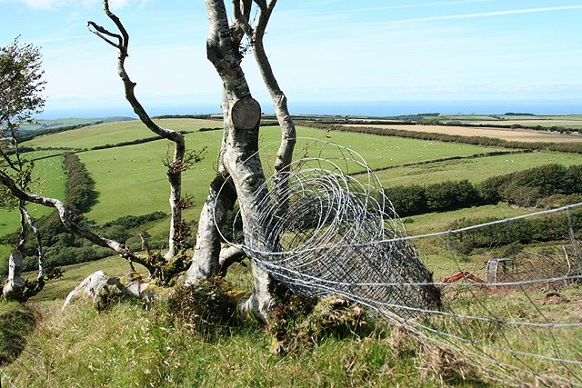
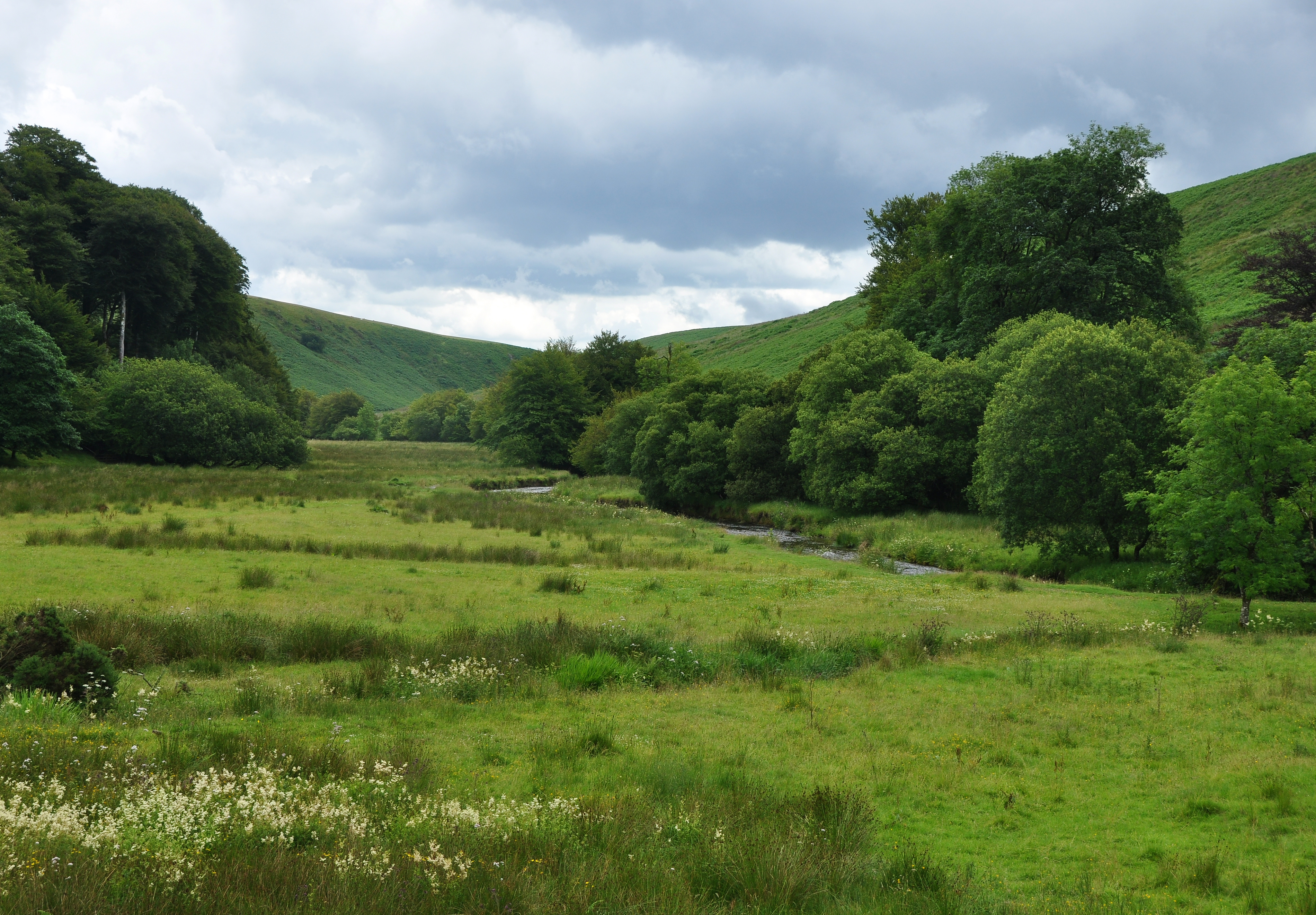
Line of trees on South Regis Common
Line of trees on South Regis Common Credit: David Martin

The requested URL returned error: 429 Too Many Requests

If you have any feedback on the listing, please let us know in the comments section below.

Bray Reservoir Images

Images are sourced within 2km of 51.164106/-3.8662222 or Grid Reference SS6942. Thanks to Geograph Open Source API. All images are credited.

Line of trees on South Regis Common
Sheep grazing above Old Close Bottom
Field gate with distant view of Challacombe
Challacombe: Simonsbath road at the Black Venus The Black Venus Inn is on the B3358 which links Simonsbath with Blackmoor Gate. The pub was earlier named the Ring of Bells, although it is nowhere near Challacombe church. Here the drayman from St Austell Brewery takes empty kegs back to his lorry
Challacombe: Simonsbath road at the Black Venus
The Black Venus Inn is on the B3358 which links Simonsbath with Blackmoor Gate. The pub was earlier named the Ring of Bells, although it is nowhere near Challacombe church. Here the drayman from St Austell Brewery takes empty kegs back to his lorry
Challacombe: near Barton Gate Looking south east from a point a little west of Barton Gate
Challacombe: near Barton Gate
Looking south east from a point a little west of Barton Gate
Parracombe: on Parracombe Common Looking towards the village which lies in a hollow between the coastal hills and the main mass of Exmoor. With the Bristol Channel in the far distance
Parracombe: on Parracombe Common
Looking towards the village which lies in a hollow between the coastal hills and the main mass of Exmoor. With the Bristol Channel in the far distance
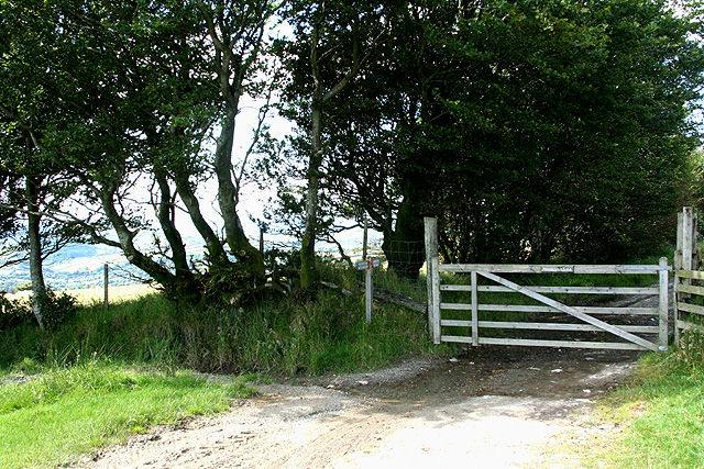
Challacombe: Two Gates There is only one gate here today. It is where the bridleway from Challacombe continues as  a track to Parracombe
Challacombe: Two Gates
There is only one gate here today. It is where the bridleway from Challacombe continues as a track to Parracombe
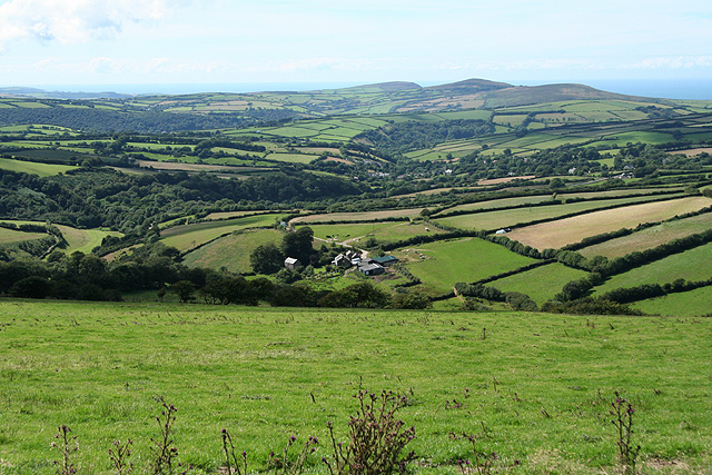
Parracombe: towards Holworthy Holworthy is the farm in mid-distance. Beyond in Parracombe village, the roof of its Victorian church catching the light. Old Parracombe church is higher up the hill, hidden by trees
Parracombe: towards Holworthy
Holworthy is the farm in mid-distance. Beyond in Parracombe village, the roof of its Victorian church catching the light. Old Parracombe church is higher up the hill, hidden by trees
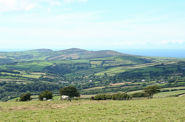
Parracombe: Parracombe Common Towards the coast
Parracombe: Parracombe Common
Towards the coast
Challacombe Methodist Church This tiny church holds services once a month.
Challacombe Methodist Church
This tiny church holds services once a month.
Stream running through Challacombe
Footbridge at Challacombe This bridge leads to Moles Chamber and Woodbarrow
Footbridge at Challacombe
This bridge leads to Moles Chamber and Woodbarrow
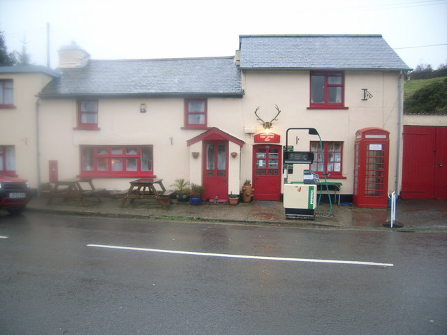
Challacombe Post Office & Telephone kiosk A very wet and steamy day!
Challacombe Post Office & Telephone kiosk
A very wet and steamy day!
Ford and swollen river at Challacombe
Radworthy Farm All that remains of the Radworthy settlement is this overgrown windbreak and small fields delineated by raised banks on the hillside.
Radworthy Farm
All that remains of the Radworthy settlement is this overgrown windbreak and small fields delineated by raised banks on the hillside.
Withycombe Farm Gathering clouds create a false sunset over North Devon as a depression moves in from the Atlantic.
Withycombe Farm
Gathering clouds create a false sunset over North Devon as a depression moves in from the Atlantic.
Whitefield Higher Down Springs in this copse feed into the R Bray.  Unfortunately the waterfall marked on the Explorer map is still off-limits.
Whitefield Higher Down
Springs in this copse feed into the R Bray. Unfortunately the waterfall marked on the Explorer map is still off-limits.
Chapman Barrows These shaggy cattle seemed perfectly at home in the harsh Exmoor Winter.  Behind the trees is Bray Reservoir and on the skyline, Shoulsbarrow Common.
Chapman Barrows
These shaggy cattle seemed perfectly at home in the harsh Exmoor Winter. Behind the trees is Bray Reservoir and on the skyline, Shoulsbarrow Common.
Show me another place!

Bray Reservoir is located at Grid Ref: SS6942 (Lat: 51.164106, Lng: -3.8662222)

Administrative County: Devon

District: North Devon

Police Authority: Devon and Cornwall

What 3 Words

///labs.guilty.anchorman. Near Lynton, Devon

Nearby Locations

Bray Reservoir

Related Wikis

Challacombe

Challacombe is a small village on the edge of the Exmoor National Park, in Devon, England. The village has a small general shop/Post Office and a single...

Barle Valley

Barle Valley is a 1,540 acres (620 ha) Site of Special Scientific Interest within Exmoor National Park, situated in the counties of Devon and Somerset...

River Heddon

The River Heddon is a river in Devon, in the south of England. Running along the western edges of Exmoor, the river reaches the North Devon coast at Heddon...

Shoulsbury castle

Shoulsbury Castle is an Iron Age hill fort close to Challacombe in Devon, England. It takes the form of a multi-ditch and rampart enclosure close to the...

Nearby Amenities

Located within 500m of 51.164106,-3.8662222
The data included in this document is from www.openstreetmap.org. The data is made available under ODbL.

Have you been to Bray Reservoir?

Leave your review of Bray Reservoir below (or comments, questions and feedback).