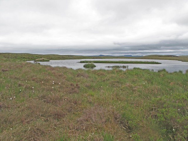
Loch Stephan

Lake, Pool, Pond, Freshwater Marsh in Sutherland

Scotland

Loch Stephan

The A836 snakes through a blink of sun
The A836 snakes through a blink of sun Credit: Alan Reid

The requested URL returned error: 429 Too Many Requests

If you have any feedback on the listing, please let us know in the comments section below.
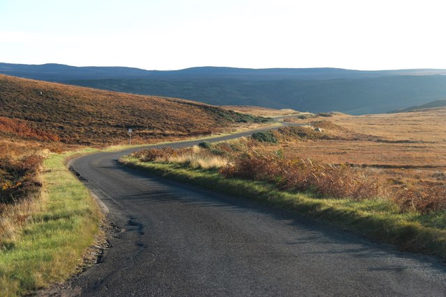
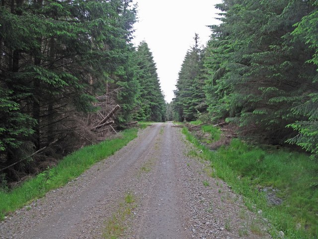
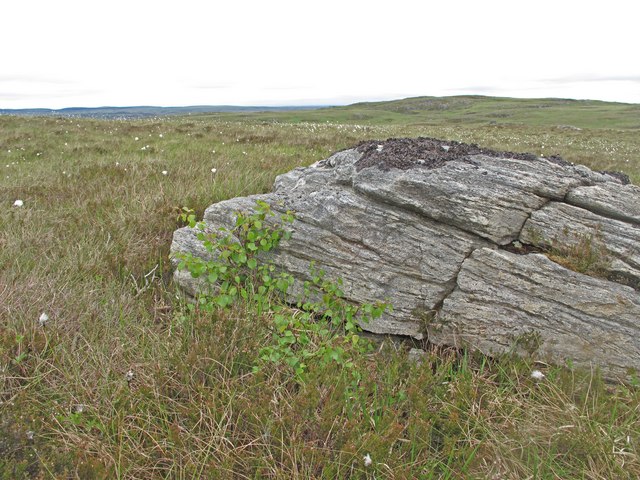
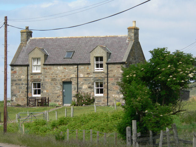
Loch Stephan Images

Images are sourced within 2km of 58.466381/-4.2372571 or Grid Reference NC6955. Thanks to Geograph Open Source API. All images are credited.

The A836 snakes through a blink of sun
Shieling at the Allt Apigill The remains of a shieling hut near the Allt Apigill. A heather-covered dyke can be seen at the side. 
This location contains many features which are evidence of several phases of occupation from the Bronze Age up until the period preceding the Highland clearances.
Shieling at the Allt Apigill
The remains of a shieling hut near the Allt Apigill. A heather-covered dyke can be seen at the side. This location contains many features which are evidence of several phases of occupation from the Bronze Age up until the period preceding the Highland clearances.
Enclosure at Apigill A round enclosure. 
This location contains many features which are evidence of several phases of occupation from the Bronze Age up until the period preceding the Highland clearances.
Enclosure at Apigill
A round enclosure. This location contains many features which are evidence of several phases of occupation from the Bronze Age up until the period preceding the Highland clearances.
Longhouse at Apigill The remains of a possible longhouse.
This location contains many features which are evidence of several phases of occupation from the Bronze Age up until the period preceding the Highland clearances.
Longhouse at Apigill
The remains of a possible longhouse. This location contains many features which are evidence of several phases of occupation from the Bronze Age up until the period preceding the Highland clearances.
Shieling at Apigill These remains are probably of a Shieling Hut.
This location contains many features which are evidence of several phases of occupation from the Bronze Age up until the period preceding the Highland clearances.
Shieling at Apigill
These remains are probably of a Shieling Hut. This location contains many features which are evidence of several phases of occupation from the Bronze Age up until the period preceding the Highland clearances.
Allt Apigill A burn in the peatlands between Borgie and Strathnaver.
Allt Apigill
A burn in the peatlands between Borgie and Strathnaver.
Creag Dalhorrisgle A rock outcrop in the peatlands west of Strathnaver.
Creag Dalhorrisgle
A rock outcrop in the peatlands west of Strathnaver.
Cnoc a' Bhothain The south eastern slopes of this low hill in the peatlands west of Strathnaver.
Cnoc a' Bhothain
The south eastern slopes of this low hill in the peatlands west of Strathnaver.
Pass, Apigill At the top of the pull out of Strathnavar on the A836. Miles of very wet bog and low hills.
Pass, Apigill
At the top of the pull out of Strathnavar on the A836. Miles of very wet bog and low hills.
Borgie Forest The forest road in Borgie Glen.
Borgie Forest
The forest road in Borgie Glen.
Lochan in the Peatlands A lochan east of Borgie Forest.
Lochan in the Peatlands
A lochan east of Borgie Forest.
Birch Tree A wind-blown birch seed has germinated in the shelter of a rock in the blanket bog east of Borgie Forest.
Birch Tree
A wind-blown birch seed has germinated in the shelter of a rock in the blanket bog east of Borgie Forest.
Peatland near Borgie Blanket Bog east of Borgie Forest.
Peatland near Borgie
Blanket Bog east of Borgie Forest.
Peatland Track East of Borgie Forest a track has been lined out with ditches on either side, but shows little sign of use.
Peatland Track
East of Borgie Forest a track has been lined out with ditches on either side, but shows little sign of use.
Peatland near Borgie Blanket Bog at the eastern edge of Borgies Forest.
Peatland near Borgie
Blanket Bog at the eastern edge of Borgies Forest.
Rock Slabs near Borgie Rock slabs showing grooves formed by glacial action.
Rock Slabs near Borgie
Rock slabs showing grooves formed by glacial action.
Peatland near Borgie Blanket Bog east of Borgie Forest.
Peatland near Borgie
Blanket Bog east of Borgie Forest.
Na Caol Lochan The northernmost of a chain of three lochans in the peatlands east of Borgie Forest.
Na Caol Lochan
The northernmost of a chain of three lochans in the peatlands east of Borgie Forest.
Show me another place!

Loch Stephan is located at Grid Ref: NC6955 (Lat: 58.466381, Lng: -4.2372571)

Unitary Authority: Highland

Police Authority: Highlands and Islands

What 3 Words

///race.paints.landlords. Near Forsinard, Highland

Related Wikis

Skelpick

Skelpick (Scottish Gaelic: Sgeilpeach) is a small remote crofting hamlet, 2 miles south of Bettyhill, in the far north of Sutherland, Scottish Highlands...

Borgie

Borgie (Scottish Gaelic: Borghaidh) is a hamlet in Sutherland, Highland, Scotland. Historically it was part of the 12,600-acre (5,100-hectare) Tongue estate...

Achina, Highland

Achina is a village in Highland, Scotland. == References ==

Leckfurin

Leckfurin is a small remote village, which lies on the left bank of the River Naver, in northern Sutherland in Scottish Highlands and is in the Scottish...

Have you been to Loch Stephan?

Leave your review of Loch Stephan below (or comments, questions and feedback).