Boretree Pool

Lake, Pool, Pond, Freshwater Marsh in Kirkcudbrightshire

Scotland

Boretree Pool

Tongland Dam in 1988 A guided tour including the foot of the dam
Tongland Dam in 1988 Credit: Kevin Waterhouse

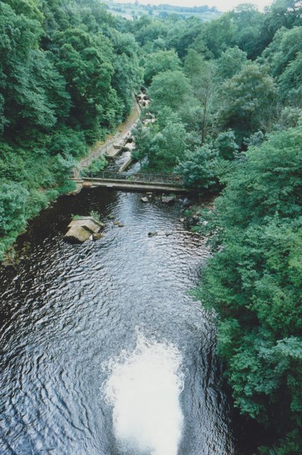
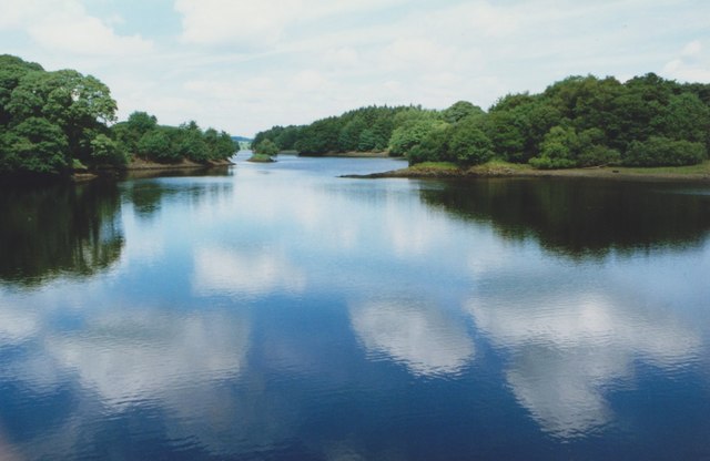
Boretree Pool is a picturesque freshwater lake located in the region of Kirkcudbrightshire, Scotland. Nestled amidst lush greenery, this serene pool is known for its natural beauty and tranquil ambiance.

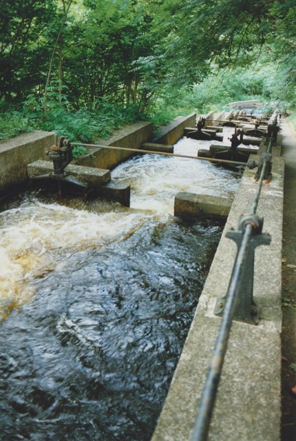
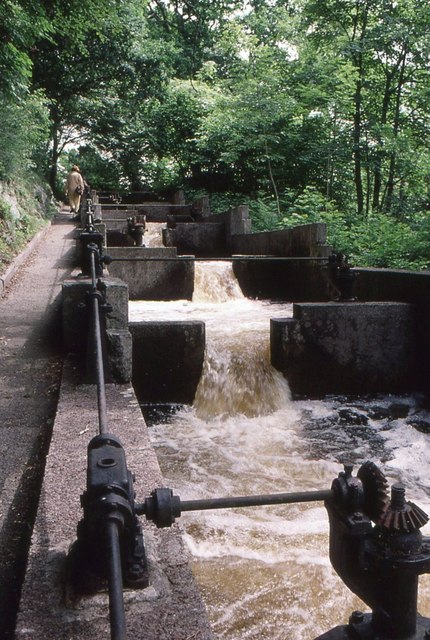
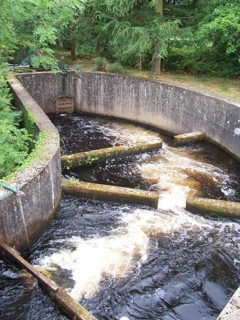
Covering an area of approximately 2 hectares, Boretree Pool is surrounded by a diverse range of flora and fauna, making it a haven for nature enthusiasts. The pool is fed by a small stream, which provides a constant supply of fresh water and maintains the pool's ecosystem.

The pool itself is relatively shallow, with an average depth of around 2 meters. Its crystal-clear waters are home to various species of freshwater fish, including brown trout and perch, making it a popular spot for fishing enthusiasts. The pool's calm waters also attract a variety of waterfowl, such as ducks and swans, adding to its natural charm.

Surrounding the pool, there is a freshwater marsh, which provides a habitat for wetland plants and animals. The marshland is characterized by its wet and boggy terrain, with an abundance of reeds, rushes, and water lilies. This unique ecosystem supports a diverse range of wildlife, including dragonflies, frogs, and various species of birds.

Boretree Pool is a popular destination for outdoor activities such as birdwatching, fishing, and nature walks. Its tranquil atmosphere and stunning natural surroundings make it an ideal location for those seeking a peaceful escape in the heart of Kirkcudbrightshire.

If you have any feedback on the listing, please let us know in the comments section below.

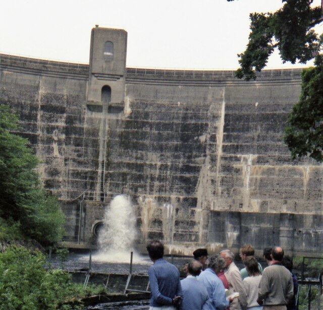
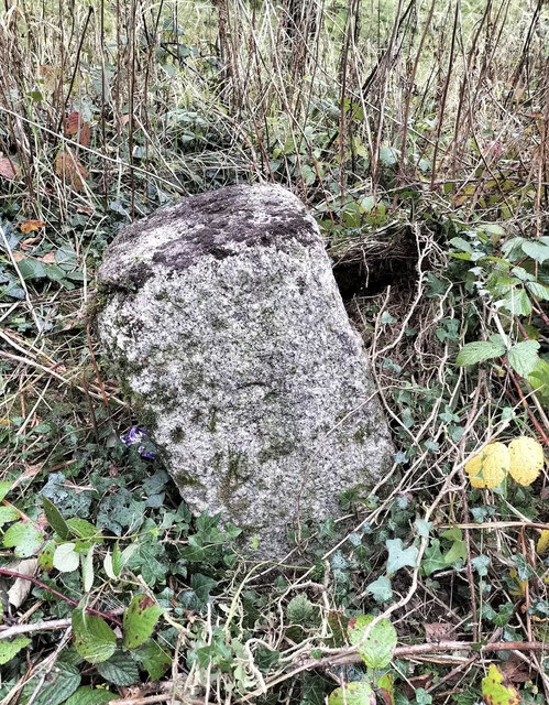
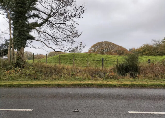
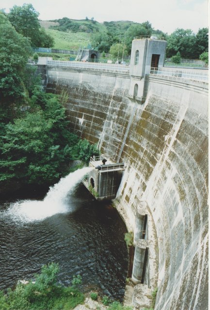
Boretree Pool Images

Images are sourced within 2km of 54.87347/-4.0533782 or Grid Reference NX6855. Thanks to Geograph Open Source API. All images are credited.

Tongland Dam in 1988 A guided tour including the foot of the dam
Tongland Dam in 1988
A guided tour including the foot of the dam
Old Milestone, Kirkcudbright parish Square-shaped granite stone by the A711, in the parish of Kirkcudbright (Stewartry District). It may have been set up by the Tongland Trust.

Inscription reads:-
3

Milestone Society National ID: DG_DFKK24
Old Milestone, Kirkcudbright parish
Square-shaped granite stone by the A711, in the parish of Kirkcudbright (Stewartry District). It may have been set up by the Tongland Trust. Inscription reads:- 3 Milestone Society National ID: DG_DFKK24
Old Milestone, Kirkcudbright parish Square-shaped granite stone by the A711, in the parish of Kirkcudbright (Stewartry District). It may have been set up by the Tongland Trust. 

Inscription reads:-
3

Milestone Society National ID: DG_DFKK24
Old Milestone, Kirkcudbright parish
Square-shaped granite stone by the A711, in the parish of Kirkcudbright (Stewartry District). It may have been set up by the Tongland Trust. Inscription reads:- 3 Milestone Society National ID: DG_DFKK24
Tongland Dam The dam holds back 8.8 million cubic metres of water in Tongland Loch.
Tongland Dam
The dam holds back 8.8 million cubic metres of water in Tongland Loch.
View from Tongland Dam Looking downstream from the top of the dam wall. The water is coming out of one of the discharge pipes near the bottom of the dam.
View from Tongland Dam
Looking downstream from the top of the dam wall. The water is coming out of one of the discharge pipes near the bottom of the dam.
Tongland Loch The view from Tongland Dam looking up Tongland Loch, the narrow reservoir for the Tongland Hydro-electric scheme.
Tongland Loch
The view from Tongland Dam looking up Tongland Loch, the narrow reservoir for the Tongland Hydro-electric scheme.
Fish Pass, Tongland Dam The fish pass below the dam allows migratory fish from the River Dee to bypass the dam.
Fish Pass, Tongland Dam
The fish pass below the dam allows migratory fish from the River Dee to bypass the dam.
Tongland Dam
Tongland Dam
Fish Pass Tongland Dam A few of a series of 39 chambers making up the complete fish ladder, allowing migratory fish to ascend the River Dee.
Fish Pass Tongland Dam
A few of a series of 39 chambers making up the complete fish ladder, allowing migratory fish to ascend the River Dee.
Elvers, Fish Pass Tongland Dam Elvers (young eels) climbing up the edge of the fish pass, using the mossy walls as an easier route, rather than attempting to fight against the strong water current (seen on the right).
Elvers, Fish Pass Tongland Dam
Elvers (young eels) climbing up the edge of the fish pass, using the mossy walls as an easier route, rather than attempting to fight against the strong water current (seen on the right).
Tongland Dam HEP station
Tongland Dam fish ladder Enables fish past the formidable man-made obstruction that is Tongland Dam.
Tongland Dam fish ladder
Enables fish past the formidable man-made obstruction that is Tongland Dam.
Tongland Loch Looking north along Tongland Loch which is really The River Dee, and which was flooded in 1935 by the creation of a dam to supply water to Tongland Power Station.<span class="nowrap"><a title="http://www.nothingtoseehere.net/2006/10/galloway_hydros_visitor_centre.html" rel="nofollow ugc noopener" href="http://www.nothingtoseehere.net/2006/10/galloway_hydros_visitor_centre.html">Link</a><img style="margin-left:2px;" alt="External link" title="External link - shift click to open in new window" src="https://s1.geograph.org.uk/img/external.png" width="10" height="10"/></span>
Tongland Loch
Looking north along Tongland Loch which is really The River Dee, and which was flooded in 1935 by the creation of a dam to supply water to Tongland Power Station.LinkExternal link
Water above Tongland Dam
Row of Cottages Picture of these dwellings south of Park of Tongland by the A711.
Row of Cottages
Picture of these dwellings south of Park of Tongland by the A711.
Park of Tongland View north along the A711 towards the A75.
Park of Tongland
View north along the A711 towards the A75.
Fishing by permit only A couple of hundred yards away in the dip is the River Dee hence the sign.
Fishing by permit only
A couple of hundred yards away in the dip is the River Dee hence the sign.
View to the River Dee Looking down towards the Dee.
View to the River Dee
Looking down towards the Dee.
Show me another place!

Boretree Pool is located at Grid Ref: NX6855 (Lat: 54.87347, Lng: -4.0533782)

Unitary Authority: Dumfries and Galloway

Police Authority: Dumfries and Galloway

What 3 Words

///successor.shred.themes. Near Kirkcudbright, Dumfries & Galloway

Related Wikis

Tarff railway station

Tarff railway station served the village of Ringford, Dumfries and Galloway, Scotland from 1864 to 1965 on the Kirkcudbright Railway. == History == The...

Tongland

Tongland is a small village about 2 miles (3 km) north of Kirkcudbright, in the historic county of Kirkcudbrightshire in Dumfries and Galloway, Scotland...

Tongland Abbey

Tungland or Tongland Abbey was a Premonstratensian monastic community located in Tongland in the historical county of Kirkcudbrightshire in Dumfries and...

Twynholm

Twynholm () is a village in Scotland. It is located 2+1⁄4 miles (3.6 km) north-northwest of Kirkcudbright and 4+1⁄2 miles (7.2 km) east of Gatehouse of...

Ringford

Ringford is a village in the historical county of Kirkcudbrightshire in Dumfries and Galloway located at grid reference NX689578 beside the Tarff Water...

Kirkcudbright Railway

The Kirkcudbright Railway was a railway branch line linking Kirkcudbright to the Castle Douglas and Dumfries Railway at Castle Douglas. It opened in 1864...

Kirkcudbright railway station

Kirkcudbright railway station served the town of Kirkcudbright, Dumfries and Galloway, Scotland from 1864 to 1965 on the Kirkcudbright Railway. == History... ==

MacLellan's Castle

MacLellan's Castle in the town of Kirkcudbright, in Galloway, Scotland, was built in the late 16th century. It stands in the centre of Kirkcudbright...

Nearby Amenities

Located within 500m of 54.87347,-4.0533782
Bus Stop
Underwood
Bus: yes
Naptan AtcoCode: 680000987111
Naptan Bearing: N
Naptan BusStopType: CUS
Naptan CommonName: Underwood
Naptan Indicator: opp Farm
Naptan Landmark: Underwood
Naptan NaptanCode: 34236489
Naptan Notes: none
Naptan Street: A762
Naptan Verified: no
Public Transport: platform
Source: naptan_import
Lat/Long: 54.8733878/-4.049894
Bus Stop
Underwood
Bus: yes
Naptan AtcoCode: 680000987222
Naptan Bearing: S
Naptan BusStopType: CUS
Naptan CommonName: Underwood
Naptan Indicator: Farm
Naptan Landmark: Underwood
Naptan NaptanCode: 34236492
Naptan Notes: none
Naptan Street: A762
Naptan Verified: no
Public Transport: platform
Source: naptan_import
Lat/Long: 54.8733548/-4.0497208
Power: pole
Lat/Long: 54.8690631/-4.0538981
Power: pole
Lat/Long: 54.869378/-4.0551802
Power: pole
Lat/Long: 54.8696743/-4.0565079
Power: pole
Lat/Long: 54.8702562/-4.0572267
Power: pole
Lat/Long: 54.8708769/-4.0580479
Power: pole
Lat/Long: 54.8714513/-4.0587909
Power: pole
Lat/Long: 54.8720259/-4.059563
Power: pole
Lat/Long: 54.8725805/-4.0602989
Power: pole
Lat/Long: 54.8732495/-4.0611823
Power: pole
Lat/Long: 54.8710401/-4.0567686
Power: pole
Lat/Long: 54.8711819/-4.0557
Power: pole
Lat/Long: 54.8719288/-4.05454
Power: pole
Lat/Long: 54.8724826/-4.0537008
Power: pole
Lat/Long: 54.872875/-4.053567
Power: pole
Lat/Long: 54.8732808/-4.0534225
Power: pole
Lat/Long: 54.8734458/-4.0548905
Power: pole
Lat/Long: 54.8734825/-4.0553707
Power: pole
Lat/Long: 54.8726158/-4.0529467
Power: pole
Lat/Long: 54.8728836/-4.0515148
Power: pole
Lat/Long: 54.8731623/-4.0500128
Power: pole
Lat/Long: 54.8732222/-4.0496346
Power: pole
Lat/Long: 54.8733798/-4.048719
The data included in this document is from www.openstreetmap.org. The data is made available under ODbL.

Have you been to Boretree Pool?

Leave your review of Boretree Pool below (or comments, questions and feedback).