Goose Green

Settlement in Norfolk South Norfolk

England

Goose Green

Winfarthing: Cereal crop
Winfarthing: Cereal crop Credit: Michael Garlick

Goose Green is a small village located in the county of Norfolk, in the eastern part of England. Situated approximately 10 miles northwest of the town of Norwich, Goose Green is nestled amidst the picturesque Norfolk countryside. The village is part of the South Norfolk district and falls within the parish of Poringland.

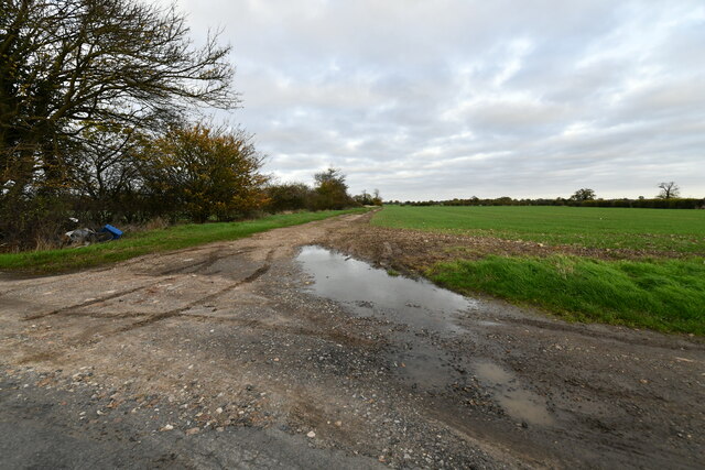
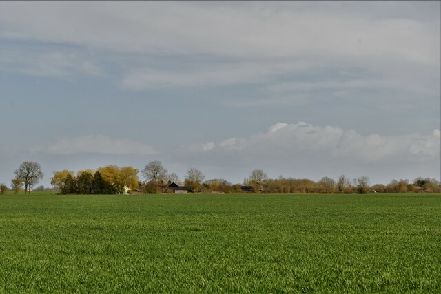
The village of Goose Green is known for its tranquil and rural setting, with rolling green fields, charming country lanes, and traditional Norfolk cottages. It is a close-knit community with a population of around 300 residents, offering a peaceful and idyllic way of life.

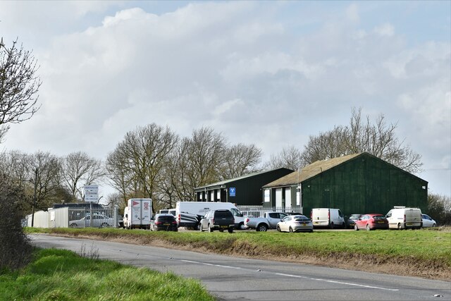
While primarily an agricultural area, the village benefits from its proximity to larger towns and cities, providing its residents with access to a range of amenities and services. The nearby town of Poringland offers a variety of shops, supermarkets, and local businesses, catering to the everyday needs of the community.

Goose Green is also surrounded by a number of natural attractions, including the Norfolk Broads, a renowned network of lakes and waterways that attract boating enthusiasts and nature lovers. The village is a perfect base for exploring the beautiful Norfolk countryside, with plenty of opportunities for walking, cycling, and enjoying the outdoors.

Overall, Goose Green is a charming and tranquil village that offers a peaceful way of life amidst the scenic Norfolk countryside, making it an appealing destination for those seeking a rural retreat.

If you have any feedback on the listing, please let us know in the comments section below.
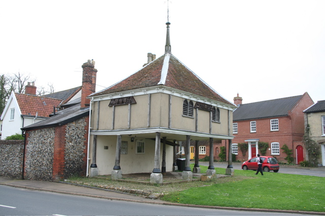
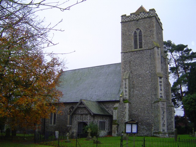
Goose Green Images

Images are sourced within 2km of 52.444627/1.104782 or Grid Reference TM1187. Thanks to Geograph Open Source API. All images are credited.

Winfarthing: Cereal crop
Winfarthing: Heath Farm
Gissing: Farm Track
Gissing: Farm Track
Winfarthing: The Old Parsonage
Winfarthing, St. Mary's Church: Northern aspect
Winfarthing: The end of Church Lane
Winfarthing: Gated track leading to Park Farm
Winfarthing: Church Lane and St. Mary's Church
Goose Green: Agricultural land
Tibenham: N&R Autos Ltd
Winfarthing, St. Mary's Church: The font, a Victorian bowl on a Norman stem
Winfarthing, St. Mary's Church: Memorial for Samuel Whitbread-Bourne and his wife
Winfarthing, St. Mary's Church: John Edwards memorial
Winfarthing, St. Mary's Church: The pulpit
Winfarthing, St. Mary's Church: The pulpit (detail)
Winfarthing, St. Mary's Church: North window by Brian Fielden 1957
Winfarthing, St. Mary's Church: North window by Brian Fielden 1957 (detail) 1
Winfarthing, St. Mary's Church: North window by Brian Fielden 1957 (detail) 2 The 'Sword of Winfarthing'
Winfarthing, St. Mary's Church: North window by Brian Fielden 1957 (detail) 2
The 'Sword of Winfarthing'
Show me another place!

Goose Green is located at Grid Ref: TM1187 (Lat: 52.444627, Lng: 1.104782)

Administrative County: Norfolk

District: South Norfolk

Police Authority: Norfolk

What 3 Words

///shuttled.comfort.optimally. Near Banham, Norfolk

Nearby Locations

Goose Green

Related Wikis

Winfarthing

Winfarthing is a village and civil parish in the English county of Norfolk. It is located 6 km north of the town of Diss, 20 km east of the town of Thetford...

Heywood, Norfolk

Heywood is a civil parish in the English county of Norfolk. It was formed in 2003 from a part of the parish of Diss. It covers an area of 9.56 km2 (3.69...

Tibenham, Norfolk

Tibenham is a village and civil parish located in the Depwade district of South Norfolk, England. The parish is 2 miles (3.2 km) north west of Tivetshall...

New Buckenham

New Buckenham is a village and civil parish in the English county of Norfolk. The parish covers an area of 1.73 km2 (0.67 sq mi) and had a population of...

New Buckenham Common

New Buckenham Common is a common of which 20.9 hectares (52 acres) is a biological Site of Special Scientific Interest, located in New Buckenham, Norfolk...

Shelfanger

Shelfanger is a village situated about 3 miles from the town of Diss in Norfolk, England. There is a church and a village hall in the village. It covers...

RAF Fersfield

Royal Air Force Fersfield or more simply RAF Fersfield (originally known as RAF Winfarthing) is a former Royal Air Force station located 16 miles (26 km...

Buckenham Castle

Old Buckenham Castle and Buckenham Castle are two castles adjacent respectively to the villages of Old Buckenham and New Buckenham, Norfolk, England....

Nearby Amenities

Located within 500m of 52.444627,1.104782
Fixme: Does a Public Footpath go South from here?
Note: Definitive Statement and historic OS 1:25k suggest Winfarthing FP 27 ends here.
Lat/Long: 52.443365/1.1055006
Bus Stop
Post Box, opp
Naptan AtcoCode: 2900W3510
Naptan Bearing: N
Naptan BusStopType: CUS
Naptan CommonName: Post Box
Naptan Indicator: opp
Naptan Landmark: Harts Corner
Naptan Locality: Winfarthing
Naptan NaptanCode: nfogdtaj
Naptan Street: Hall Road
Naptan Verified: no
Source: naptan_import
Lat/Long: 52.4434397/1.1066618
Bus Stop
Post Box, adj
Naptan AtcoCode: 2900W352
Naptan Bearing: NE
Naptan BusStopType: CUS
Naptan CommonName: Post Box
Naptan Indicator: adj
Naptan Landmark: Goose Green Lane
Naptan Locality: Winfarthing
Naptan NaptanCode: nfogdtda
Naptan Street: Hall Road
Naptan Verified: no
Source: naptan_import
Lat/Long: 52.4436747/1.106958
Hart's Corner
Place: hamlet
Source: OS 1:25k
Lat/Long: 52.4437404/1.1059741
Fixme: Do Public Footpaths go NW and NNW from here?
Note: Definitive Statement and historic OS 1:25k suggest Winfarthing FP 8 and 27 start here.
Lat/Long: 52.4423677/1.1059126
Give Way
Lat/Long: 52.4433722/1.106654
Power: pole
Lat/Long: 52.4443002/1.1042574
Power: pole
Lat/Long: 52.4440566/1.1037746
Power: pole
Lat/Long: 52.4449166/1.1054134
Power: pole
Lat/Long: 52.4465236/1.1006968
Power: pole
Lat/Long: 52.4457814/1.1012185
Power: pole
Lat/Long: 52.4450196/1.1017522
Power: pole
Lat/Long: 52.4443362/1.102235
Power: pole
Transformer: distribution
Lat/Long: 52.4435482/1.1027902
Post Box
Collection Times: Mo-Fr 09:00, Sa 10:15
Operator: Royal Mail
Post Box Mounting: brick_pillar
Post Box Type: wall
Ref: IP22 7106
Royal Cypher: EVIIR
Royal Cypher Wikidata: Q33102324
Lat/Long: 52.443291/1.1067076
The data included in this document is from www.openstreetmap.org. The data is made available under ODbL.

Have you been to Goose Green?

Leave your review of Goose Green below (or comments, questions and feedback).