Birkenburn Reservoir

Lake, Pool, Pond, Freshwater Marsh in Stirlingshire

Scotland

Birkenburn Reservoir

Meikle Bin trig point
Meikle Bin trig point Credit: Steven Brown

Birkenburn Reservoir is a freshwater body located in Stirlingshire, Scotland. It is situated in the scenic and picturesque Trossachs National Park, surrounded by stunning natural beauty and diverse wildlife. The reservoir covers an area of approximately 5 hectares and is a popular destination for nature enthusiasts, anglers, and outdoor enthusiasts.

The reservoir is formed by the damming of the Birkenburn Stream, which flows into the nearby River Forth. It serves as a water storage facility, providing drinking water to the local communities in the area. The water in the reservoir is sourced from rainfall and runoff from the surrounding hills.

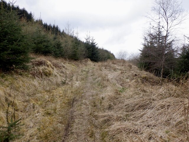
The surrounding landscape of Birkenburn Reservoir is characterized by rolling hills, lush greenery, and dense forests. The reservoir itself is surrounded by a mix of woodland and open grassland, creating a varied habitat for a wide range of plant and animal species. It supports a diverse ecosystem, including various species of birds, mammals, amphibians, and invertebrates.

The reservoir offers excellent opportunities for fishing, with anglers often targeting species such as brown trout, rainbow trout, and perch. Fishing permits are required, and the reservoir is regularly stocked to maintain healthy fish populations.

Birkenburn Reservoir also provides a tranquil setting for recreational activities such as walking, picnicking, and birdwatching. The area is home to a variety of bird species, including herons, ducks, and kingfishers, making it a haven for birdwatchers.

In conclusion, Birkenburn Reservoir is a beautiful freshwater body nestled in the heart of Stirlingshire. Its stunning natural surroundings, diverse wildlife, and recreational opportunities make it a popular destination for both locals and visitors alike.

If you have any feedback on the listing, please let us know in the comments section below.

Birkenburn Reservoir Images

Images are sourced within 2km of 55.99954/-4.1275616 or Grid Reference NS6780. Thanks to Geograph Open Source API. All images are credited.

Meikle Bin trig point
Carron Valley Forest Various stages in the forestry cycle here.  The road is now a through route with a connection to the lower road.
Carron Valley Forest
Various stages in the forestry cycle here. The road is now a through route with a connection to the lower road.
View towards Meikle Bin In Carron Valley Forest.
View towards Meikle Bin
In Carron Valley Forest.
Road, Carron Valley Forest Recently connected at the west end allowing a loop with the lower road or access to the Bins.
Road, Carron Valley Forest
Recently connected at the west end allowing a loop with the lower road or access to the Bins.
Carron Valley Forest Bit of a drop to a burn revealed by clearfell.
Carron Valley Forest
Bit of a drop to a burn revealed by clearfell.
Carron Valley Forest Young trees and a view of Little Bin - my objective for the day.
Carron Valley Forest
Young trees and a view of Little Bin - my objective for the day.
Newish road, Carron Valley Forest Continuing from a previous dead end and connecting up with roads by the Bin Burn. Meikle Bin in the background.
Newish road, Carron Valley Forest
Continuing from a previous dead end and connecting up with roads by the Bin Burn. Meikle Bin in the background.
Signpost, Carron Valley Forest A path from here goes between the Bins. It is rather attractive and in dry weather a good bit of singletrack cycling.
Signpost, Carron Valley Forest
A path from here goes between the Bins. It is rather attractive and in dry weather a good bit of singletrack cycling.
Path between the Bins A very attractive path between Meikle and Little Bins. Little Bin is now easily, but very steeply accessed from this path.
Path between the Bins
A very attractive path between Meikle and Little Bins. Little Bin is now easily, but very steeply accessed from this path.
Northeast flank of Meikle Bin A steep slope, with sheep above a path following the Bin Burn.
Northeast flank of Meikle Bin
A steep slope, with sheep above a path following the Bin Burn.
Meikle Bin Steep flanks, grazed by sheep. Viewed from Little Bin.
Meikle Bin
Steep flanks, grazed by sheep. Viewed from Little Bin.
Clearing above the Bin Burn Carron Valley Forest.
Clearing above the Bin Burn
Carron Valley Forest.
Meikle Bin summit and triangulation pillar Flush bracket number S3561.
Meikle Bin summit and triangulation pillar
Flush bracket number S3561.
Southern slopes of Meikle Bin View towards Birkenburn Reservoir and the barrier of Sitka spruce which surrounds the Meikle Bin.  There is no county boundary down there, but a council area boundary between Stirling (not Stirlingshire!) and North Lanarkshire.
Southern slopes of Meikle Bin
View towards Birkenburn Reservoir and the barrier of Sitka spruce which surrounds the Meikle Bin. There is no county boundary down there, but a council area boundary between Stirling (not Stirlingshire!) and North Lanarkshire.
Birkenburn Reservoir The dam of Birkenburn reservoir set in the Kilsyth Hills, Stirlingshire. The distant view is towards Tinto. <a href="https://www.geograph.org.uk/photo/1058884">NS9534 : The enormous cairn on Tinto summit</a>
Birkenburn Reservoir
The dam of Birkenburn reservoir set in the Kilsyth Hills, Stirlingshire. The distant view is towards Tinto. NS9534 : The enormous cairn on Tinto summit
Forestry, Meikle Bin The Meikle Bin is surrounded by Sitka spruce forestry.
Forestry, Meikle Bin
The Meikle Bin is surrounded by Sitka spruce forestry.
Carron Valley Forest View towards Meikle Bin as a new generation of trees gets established.
Carron Valley Forest
View towards Meikle Bin as a new generation of trees gets established.
Young trees, Carron Valley Forest Young spruce trees beneath the Meikle Bin.
Young trees, Carron Valley Forest
Young spruce trees beneath the Meikle Bin.
Show me another place!

Birkenburn Reservoir is located at Grid Ref: NS6780 (Lat: 55.99954, Lng: -4.1275616)

Unitary Authority: North Lanarkshire

Police Authority: Lanarkshire

What 3 Words

///relatives.exit.attend. Near Milton of Campsie, East Dunbartonshire

Nearby Locations

Birkenburn Reservoir

Related Wikis

Peggie's Spout

Peggie's Spout is a waterfall of Scotland. == See also == Waterfalls of Scotland == References ==

Meikle Bin

Meikle Bin is a peak in the Campsie Fells in Central Scotland. It is the second-highest of the group at 570 metres (1,870 ft), and with its prominence...

Queenzieburn

Queenzieburn (Scots: Queenieburn) is a small settlement in the historic county of Stirlingshire and the Council Area of North Lanarkshire, Scotland. Its...

Glorat

Glorat is a place and estate in the parish of Campsie in East Dunbartonshire, Scotland. == History == A towerhouse was built at Glorat in the 16th century...

Nearby Amenities

Located within 500m of 55.99954,-4.1275616
Ford: yes
Lat/Long: 56.0014648/-4.1237874
The data included in this document is from www.openstreetmap.org. The data is made available under ODbL.

Have you been to Birkenburn Reservoir?

Leave your review of Birkenburn Reservoir below (or comments, questions and feedback).