Goom's Hill

Settlement in Worcestershire Wychavon

England

Goom's Hill

Farm drive at Radford
Farm drive at Radford Credit: Philip Halling

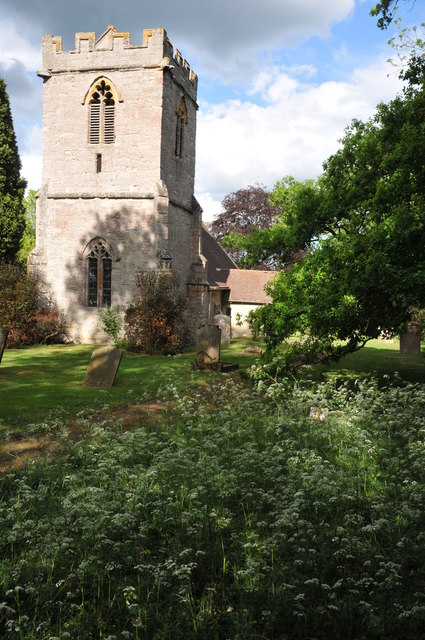
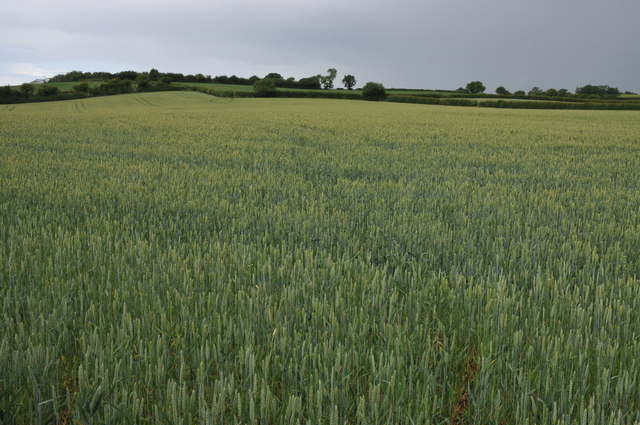
Goom's Hill is a small hamlet located in the county of Worcestershire, England. Situated near the town of Redditch, Goom's Hill is known for its picturesque countryside and charming rural atmosphere. The area is characterized by rolling hills, lush green fields, and quaint stone cottages.

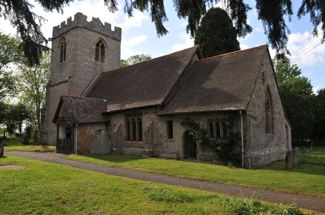
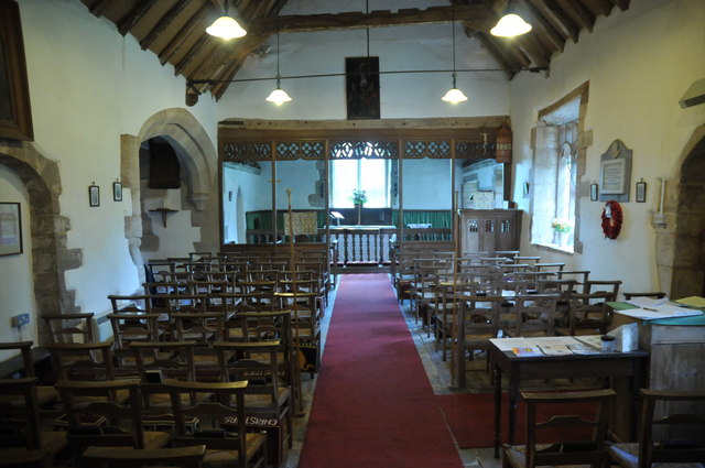
Goom's Hill is a popular destination for hikers and nature enthusiasts, with a network of scenic walking trails that offer stunning views of the surrounding countryside. The hamlet is also home to a number of historic landmarks, including the Grade II listed Goom's Hill House, a beautiful Georgian mansion that dates back to the 18th century.

In addition to its natural beauty and historic charm, Goom's Hill is known for its strong sense of community and friendly locals. The hamlet has a small but vibrant population, and residents often come together for community events and celebrations.

Overall, Goom's Hill is a peaceful and idyllic place to visit, offering visitors a chance to escape the hustle and bustle of modern life and enjoy the beauty of the English countryside.

If you have any feedback on the listing, please let us know in the comments section below.
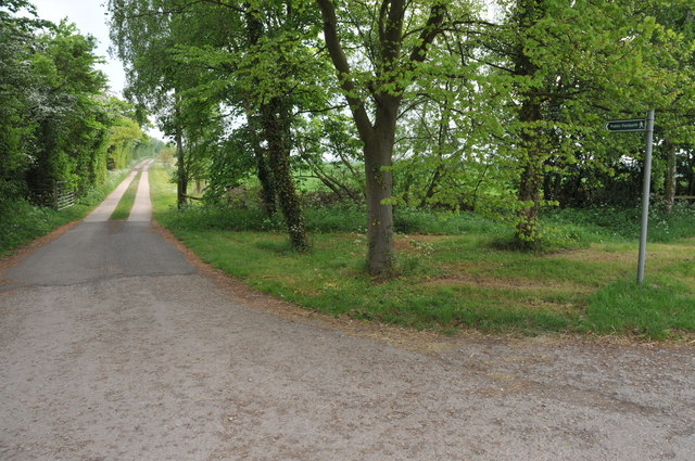
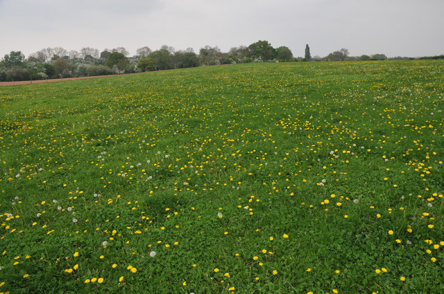
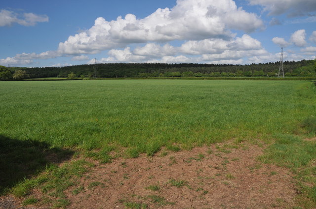
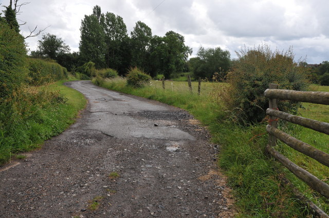
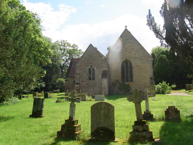
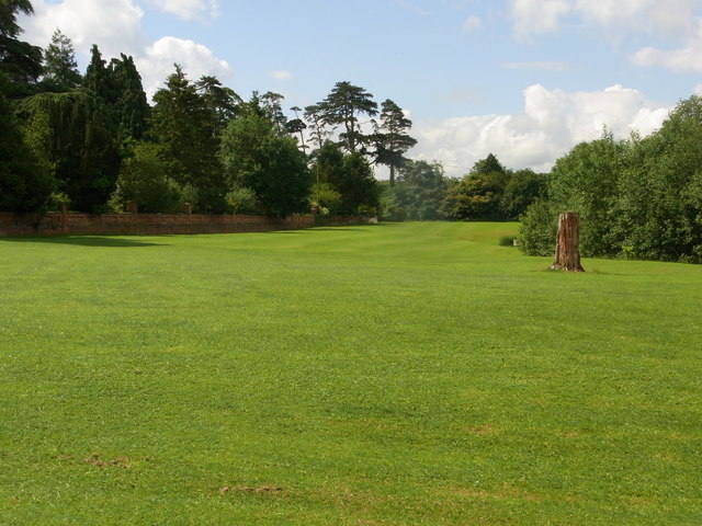
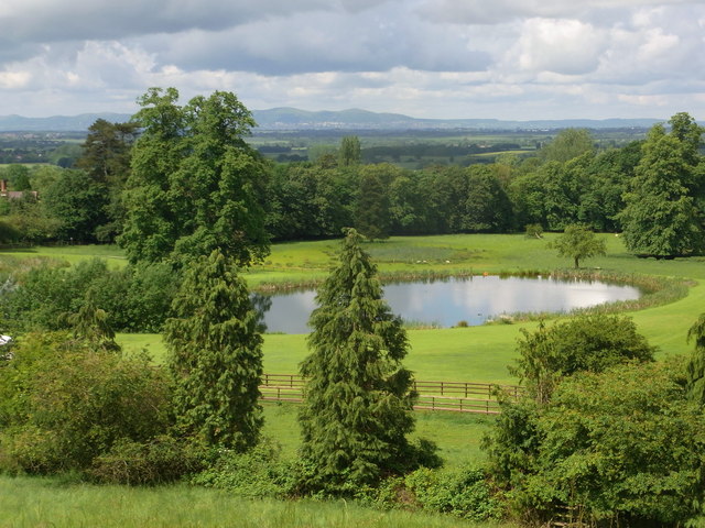
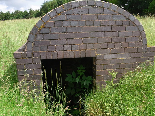
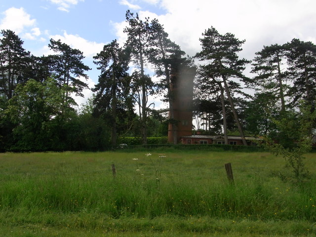
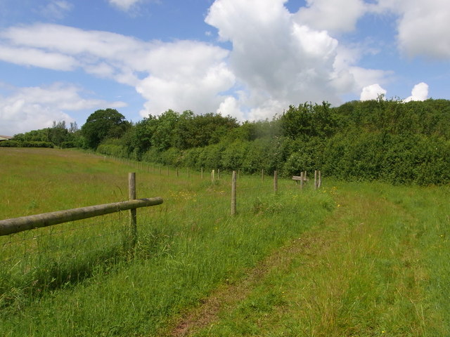
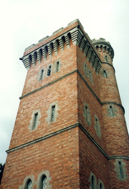
Goom's Hill Images

Images are sourced within 2km of 52.189602/-1.966323 or Grid Reference SP0254. Thanks to Geograph Open Source API. All images are credited.

Farm drive at Radford
Farmland at Radford This grid square is predominantly farmland with footpaths crossing it.
Farmland at Radford
This grid square is predominantly farmland with footpaths crossing it.
Arable land near Abbots Morton View across arable land to the east of Abbots Morton.
Arable land near Abbots Morton
View across arable land to the east of Abbots Morton.
Abbots Morton church
Abbots Morton church The tower of St Peter's church, Abbots Morton, dates from the 14th century.
Abbots Morton church
The tower of St Peter's church, Abbots Morton, dates from the 14th century.
Interior of Abbots Morton church View along the nave of St Peter's church, Abbots Morton.
Interior of Abbots Morton church
View along the nave of St Peter's church, Abbots Morton.
War Memorial in Abbots Morton church War memorial on the south wall of Abbots Morton church to Philip Raymond Collins who was killed in action in Mesopotamia on January 25, 1917.
War Memorial in Abbots Morton church
War memorial on the south wall of Abbots Morton church to Philip Raymond Collins who was killed in action in Mesopotamia on January 25, 1917.
Field of wheat A footpath Appletree Lane to Inkberrow is supposed to cross this field of wheat.
Field of wheat
A footpath Appletree Lane to Inkberrow is supposed to cross this field of wheat.
Farm road to Great Norbury Farm Farm road to Great Norbury Farm from Appletree Lane near Inkberrow.  For part of the way this is also a footpath.
Farm road to Great Norbury Farm
Farm road to Great Norbury Farm from Appletree Lane near Inkberrow. For part of the way this is also a footpath.
St. Peter's church , Rous Lench
Impressive wall bounding the garden of Rous Lench Court
The lake in the grounds of Rous Lench Court From footpath on the ridge to the north of the Court. Splendid view to the Malvern Hills.
The lake in the grounds of Rous Lench Court
From footpath on the ridge to the north of the Court. Splendid view to the Malvern Hills.
Entrance to former icehouse ? Rous Lench Be careful, the grid that should guard the entrance is lying in the long grass just off the footpath. Some references are to an icehouse in the grounds of Rous Lench Court but nothing recent. The bricks are Victorian so it could have been built by mid C19.
Entrance to former icehouse ? Rous Lench
Be careful, the grid that should guard the entrance is lying in the long grass just off the footpath. Some references are to an icehouse in the grounds of Rous Lench Court but nothing recent. The bricks are Victorian so it could have been built by mid C19.
The Tower in grounds of Rous Lench Court The Tower is Grade II listed but appears to be private housing now.
The Tower in grounds of Rous Lench Court
The Tower is Grade II listed but appears to be private housing now.
Bridleway south of Slade Wood Looks dry but lots of standing water after several days of heavy rain.
Bridleway south of Slade Wood
Looks dry but lots of standing water after several days of heavy rain.
Mansion in Rous Lench A fine country house in its own parkland.
Mansion in Rous Lench
A fine country house in its own parkland.
Road junction in Rous Lench The sign with its back to the camera informs the drivers that the lane is closed - it wasn't.
Road junction in Rous Lench
The sign with its back to the camera informs the drivers that the lane is closed - it wasn't.
Dr Chafy's Tower, Rous Lench A folly Tower in the garden of Rous Lench Court, built around 1806.
Dr Chafy's Tower, Rous Lench
A folly Tower in the garden of Rous Lench Court, built around 1806.
Show me another place!

Goom's Hill is located at Grid Ref: SP0254 (Lat: 52.189602, Lng: -1.966323)

Administrative County: Worcestershire

District: Wychavon

Police Authority: West Mercia

What 3 Words

///skirting.jeeps.oiled. Near Inkberrow, Worcestershire

Nearby Locations

Goom's Hill

Related Wikis

Goom's Hill

Goom's Hill is a location near Abbots Morton in Worcestershire, England.

Abbots Morton

Abbots Morton is a village and civil parish in the English county of Worcestershire. It consists of approximately 70 dwellings and 250 people. It retains...

Radford, Worcestershire

Radford is a hamlet in the Wychavon district of Worcestershire, England. It is 1 mile SSW of Inkberrow. In 2013, Landscan population maps show there to...

Inkberrow Castle

Inkberrow Castle was situated in the village of Inkberrow in Worcestershire, some 10 km south of Redditch (grid reference SP017572). It was a castle built...

Nearby Amenities

Located within 500m of 52.189602,-1.966323
Post Box
Brand: Royal Mail
Brand Wikidata: Q638098
Brand Wikipedia: en:Royal Mail
Collection Times: Mo-Fr 16:00; Sa 10:30
Operator: Royal Mail
Operator Wikidata: Q638098
Post Box Type: lamp
Ref: WR7 431
Royal Cypher: GR
Royal Cypher Wikidata: Q33102273
Source: survey
Lat/Long: 52.1896395/-1.96804
Barrier: stile
Foot: yes
Lat/Long: 52.1908309/-1.9723319
Gooms Hill
Place: hamlet
Source: OS OpenData StreetView
Lat/Long: 52.1892416/-1.9671673
Abbots Morton
Place: village
Source: OS OpenData StreetView
Wikidata: Q2584125
Lat/Long: 52.192664/-1.9614732
Power: pole
Lat/Long: 52.191989/-1.9715597
Gooms Hill Farm
Power: pole
Transformer: distribution
Voltage Primary: 11000
Lat/Long: 52.1910229/-1.9710619
Power: pole
Lat/Long: 52.1922887/-1.9661469
Barrier: stile
Foot: yes
Lat/Long: 52.1870269/-1.9714771
Power: pole
Lat/Long: 52.1902461/-1.9661595
Power: pole
Lat/Long: 52.1912403/-1.9643332
Barrier: stile
Foot: yes
Lat/Long: 52.1886201/-1.968756
Power: pole
Lat/Long: 52.1934025/-1.968097
Power: pole
Lat/Long: 52.1905568/-1.9637723
Power: pole
Lat/Long: 52.1927685/-1.9711232
Barrier: stile
Foot: yes
Lat/Long: 52.1915688/-1.9726478
Power: pole
Lat/Long: 52.1915257/-1.9713219
Gooms Hill
Power: pole
Transformer: distribution
Voltage Primary: 11000
Lat/Long: 52.1900983/-1.9673687
Power: pole
Lat/Long: 52.1929081/-1.9672324
Power: pole
Lat/Long: 52.1895617/-1.9629482
Power: pole
Lat/Long: 52.1917003/-1.9651099
Power: pole
Lat/Long: 52.190396/-1.9649221
Power: pole
Lat/Long: 52.1880125/-1.9614088
Parking
Village Hall car park
Capacity: 15
Lat/Long: 52.1924101/-1.9609732
Power: pole
Lat/Long: 52.1887368/-1.9622756
Power: pole
Lat/Long: 52.1874002/-1.9606142
Power: pole
Lat/Long: 52.1901434/-1.9622954
Power: pole
Lat/Long: 52.190728/-1.9616228
Gooms Hill East
Power: pole
Transformer: distribution
Voltage Primary: 11000
Lat/Long: 52.1901019/-1.9591686
Power: pole
Lat/Long: 52.1903703/-1.960389
Power: pole
Lat/Long: 52.1908628/-1.9608651
Power: pole
Lat/Long: 52.1910461/-1.9596595
The data included in this document is from www.openstreetmap.org. The data is made available under ODbL.

Have you been to Goom's Hill?

Leave your review of Goom's Hill below (or comments, questions and feedback).