Afton Reservoir

Lake, Pool, Pond, Freshwater Marsh in Ayrshire

Scotland

Afton Reservoir

The road to the Afton Reservoir and Filter Station The green cabinet is the Afton Regulatory Final Sample Point for the water supply.
The road to the Afton Reservoir and Filter Station Credit: Gordon Brown

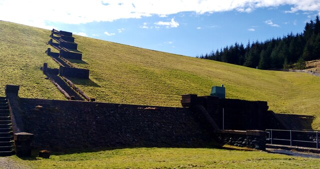
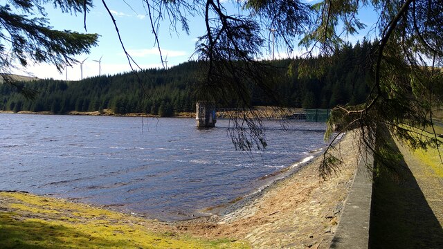
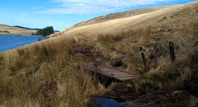
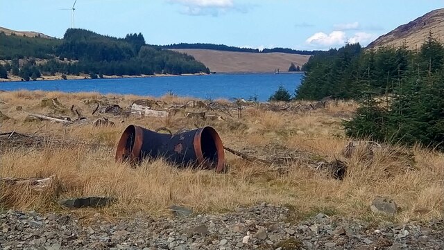
Afton Reservoir is a freshwater lake located in Ayrshire, Scotland. Nestled amidst the picturesque countryside, it covers an area of approximately 40 acres and is known for its tranquil surroundings and natural beauty. The reservoir is situated on the River Afton, a tributary of the River Nith.

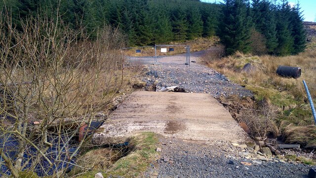
The Afton Reservoir serves as an important water source for the local communities, providing drinking water and supporting various agricultural activities in the region. It was originally constructed in the 19th century to meet the growing demand for water supply.

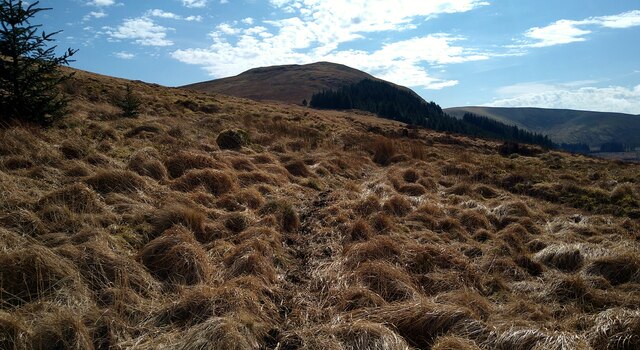
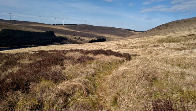
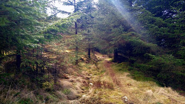
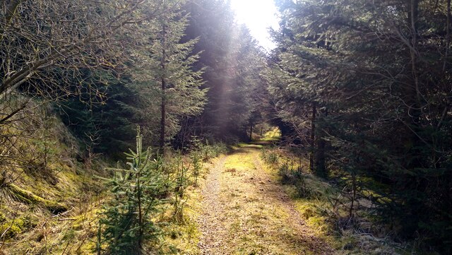
The reservoir is surrounded by lush greenery and offers a peaceful retreat for nature enthusiasts. It is home to a variety of plant and animal species, attracting birdwatchers and wildlife enthusiasts. Visitors can often spot ducks, swans, and other waterfowl gliding across the calm waters.

The Afton Reservoir also offers recreational opportunities such as fishing and boating. Anglers can indulge in fishing for brown trout, which are stocked in the reservoir. Boating is allowed on the lake, providing a chance for visitors to explore the scenic beauty from a different perspective.

The area around the reservoir is well-maintained, with walking trails and picnic spots available for visitors to enjoy. It is a popular destination for families, nature lovers, and those seeking a peaceful escape from the hustle and bustle of everyday life.

Overall, Afton Reservoir in Ayrshire is a serene freshwater lake that not only serves as a vital water source but also offers a haven for wildlife and a recreational paradise for visitors.

If you have any feedback on the listing, please let us know in the comments section below.

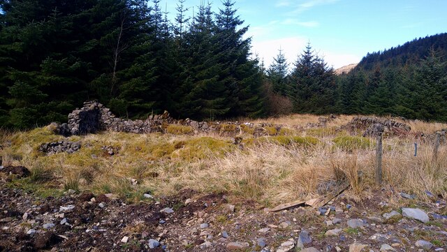
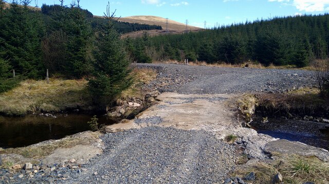
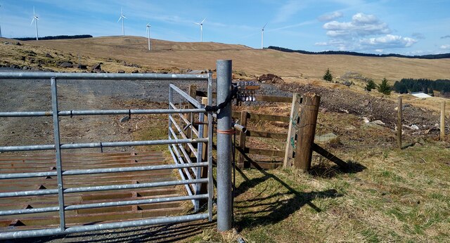
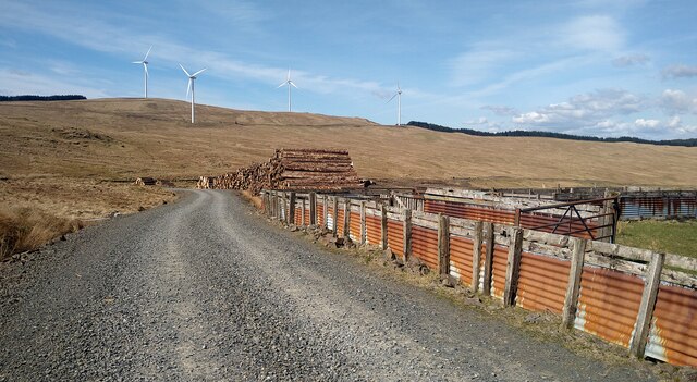
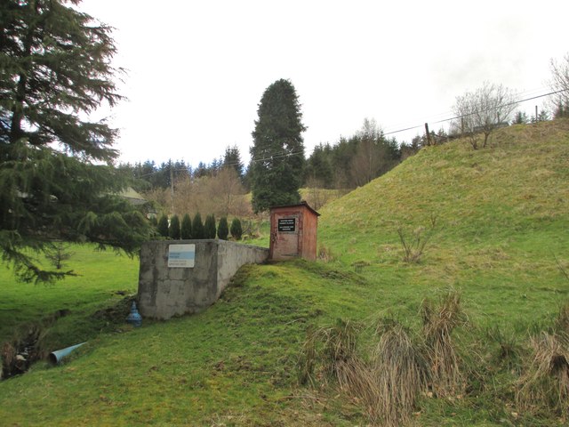
Afton Reservoir Images

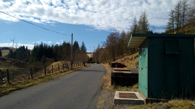
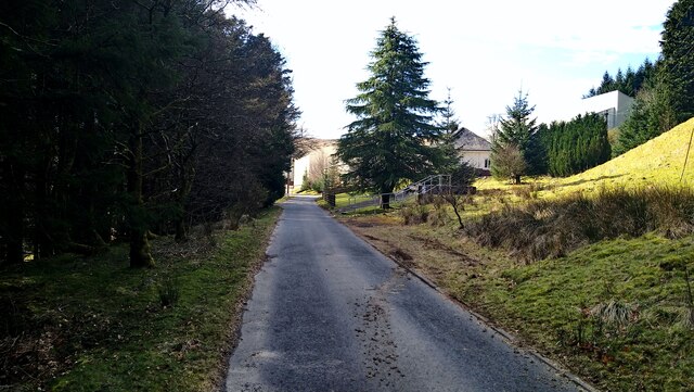
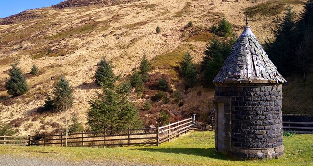
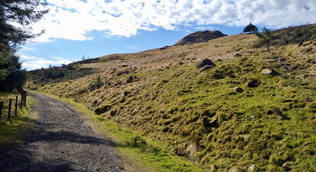
Images are sourced within 2km of 55.311832/-4.1531004 or Grid Reference NS6304. Thanks to Geograph Open Source API. All images are credited.

The road to the Afton Reservoir and Filter Station The green cabinet is the Afton Regulatory Final Sample Point for the water supply.
The road to the Afton Reservoir and Filter Station
The green cabinet is the Afton Regulatory Final Sample Point for the water supply.
Approaching the Afton Filter Station The extensive buildings are largely hidden by the trees in this view.
Approaching the Afton Filter Station
The extensive buildings are largely hidden by the trees in this view.
Circular water-board building at Afton Reservoir The slopes of Craigbraneoch Rig lie beyond.
Circular water-board building at Afton Reservoir
The slopes of Craigbraneoch Rig lie beyond.
Looking up to Castle William The rocky peak, central, is linked to Sir William Wallace.  See <span class="nowrap"><a title="https://newcumnockhistory.com/place-names/place-names-c/castle-william/" rel="nofollow ugc noopener" href="https://newcumnockhistory.com/place-names/place-names-c/castle-william/">Link</a><img style="margin-left:2px;" alt="External link" title="External link - shift click to open in new window" src="https://s1.geograph.org.uk/img/external.png" width="10" height="10"/></span>
Looking up to Castle William
The rocky peak, central, is linked to Sir William Wallace. See LinkExternal link
The earth dam at the Afton Reservoir Opened in 1935 and currently operated by Scottish Water.
The earth dam at the Afton Reservoir
Opened in 1935 and currently operated by Scottish Water.
Dam face at the Afton Reservoir
Faint path high on the hillside above the Afton Reservoir We had missed the lower, possibly better, path on the east side of the reservoir while walking a complete circuit.  This was tussocky but not too muddy.
Faint path high on the hillside above the Afton Reservoir
We had missed the lower, possibly better, path on the east side of the reservoir while walking a complete circuit. This was tussocky but not too muddy.
Faint path high on the hillside above the Afton Reservoir We had missed the lower, possibly better, path on the east side of the reservoir while walking a complete circuit. This was tussocky but not too muddy.
Faint path high on the hillside above the Afton Reservoir
We had missed the lower, possibly better, path on the east side of the reservoir while walking a complete circuit. This was tussocky but not too muddy.
Exit from the forest We had missed this lower, possibly better, path on the east side of the reservoir while walking a complete circuit. The high path was tussocky but not too muddy.
Exit from the forest
We had missed this lower, possibly better, path on the east side of the reservoir while walking a complete circuit. The high path was tussocky but not too muddy.
Sunlight on the path through the forest
Bridge over the Montraw Burn Fenced off to vehicles but passable on foot.
Bridge over the Montraw Burn
Fenced off to vehicles but passable on foot.
The ruins of Monthraw Cottage
The head of Afton Reservoir What looks like some water-board large piping left lying around.
The head of Afton Reservoir
What looks like some water-board large piping left lying around.
Bridge over the Alwhat Burn This area has seen a lot of forestry activity, plus wind farm development, hence the re-gravelled roads.
Bridge over the Alwhat Burn
This area has seen a lot of forestry activity, plus wind farm development, hence the re-gravelled roads.
Track in the Afton Wind Farm Completed in 2018, this wind farm has 25 Siemens 2MW turbines.
Track in the Afton Wind Farm
Completed in 2018, this wind farm has 25 Siemens 2MW turbines.
Sheepfolds and timber stacks by a track in the Afton Wind Farm
Old Storage Tank Discharge at Afton Filter Station
Show me another place!

Afton Reservoir is located at Grid Ref: NS6304 (Lat: 55.311832, Lng: -4.1531004)

Unitary Authority: East Ayrshire

Police Authority: Ayrshire

What 3 Words

///thinnest.soda.duties. Near New Cumnock, East Ayrshire

Nearby Locations

Afton Reservoir

Related Wikis

Blackcraig Hill

Blackcraig Hill is a hill in the Carsphairn and Scaur Hills range, part of the Southern Uplands of Scotland. It lies southeast of the town of New Cumnock...

Windy Standard

Windy Standard is a hill in the Carsphairn and Scaur Hills range, part of the Southern Uplands of Scotland. It lies in Dumfries and Galloway, south of...

Cairnsmore of Carsphairn

Cairnsmore of Carsphairn is a hill in the Carsphairn and Scaur Hills range, part of the Southern Uplands of Scotland. An alternative name, rarely used...

Knockshinnoch disaster

The Knockshinnoch disaster was a mining accident that occurred in September 1950 in the village of New Cumnock, Ayrshire, Scotland. A glaciated lake filled...

Nearby Amenities

Located within 500m of 55.311832,-4.1531004
Power: tower
Lat/Long: 55.3085499/-4.1580999
Power: tower
Lat/Long: 55.3101222/-4.1603744
The data included in this document is from www.openstreetmap.org. The data is made available under ODbL.

Have you been to Afton Reservoir?

Leave your review of Afton Reservoir below (or comments, questions and feedback).