Llyn Taliaris
Lake, Pool, Pond, Freshwater Marsh in Carmarthenshire
Wales
Llyn Taliaris
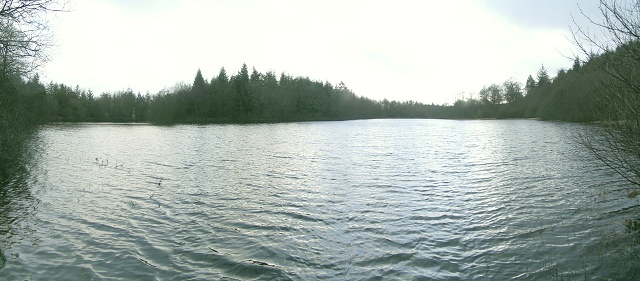
Llyn Taliaris is a freshwater lake located in the county of Carmarthenshire, Wales. It is situated in the Taliaris estate, approximately 3 miles northeast of the town of Llandeilo. This serene body of water covers an area of approximately 5 acres and is surrounded by picturesque countryside and lush greenery.
The lake is fed by several small streams and springs, ensuring a constant flow of freshwater. Its depth varies, with the deepest point reaching around 12 feet. The water is clear and clean, providing a suitable habitat for a variety of aquatic plants and animals.
Llyn Taliaris is home to a diverse range of wildlife, including various species of fish such as perch, roach, and tench. The lake also attracts a variety of waterfowl, including swans, mallards, and coots, making it a popular spot for birdwatching enthusiasts.
The shores of the lake are lined with reeds and other vegetation, creating a natural habitat for numerous species of insects, amphibians, and small mammals. The surrounding area consists of wetland and marshland, which further enhances the ecological value of the site.
Visitors to Llyn Taliaris can enjoy the tranquil surroundings by taking leisurely walks along the lake's perimeter or settling down on the designated picnic areas. The lake is a designated Site of Special Scientific Interest (SSSI), highlighting its importance for conservation and biodiversity.
Overall, Llyn Taliaris is a charming freshwater lake nestled in the heart of Carmarthenshire, offering a peaceful retreat for nature lovers and a haven for a wide range of plants and animals.
If you have any feedback on the listing, please let us know in the comments section below.
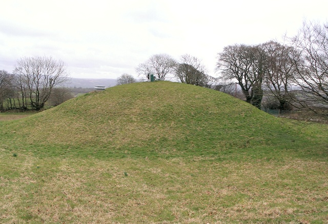
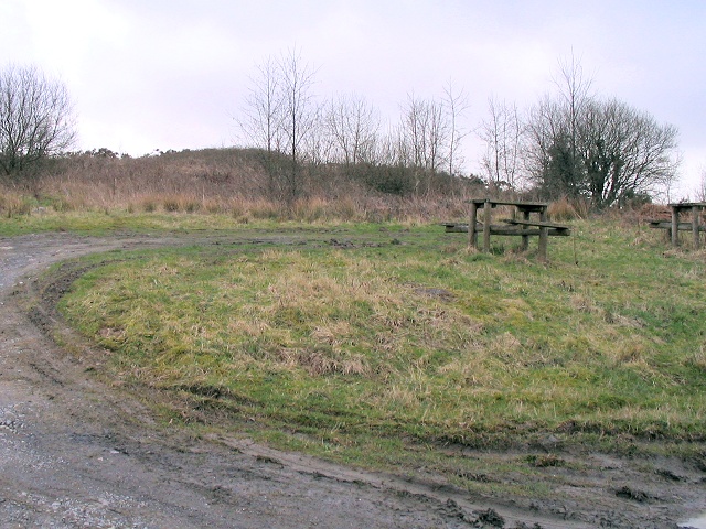
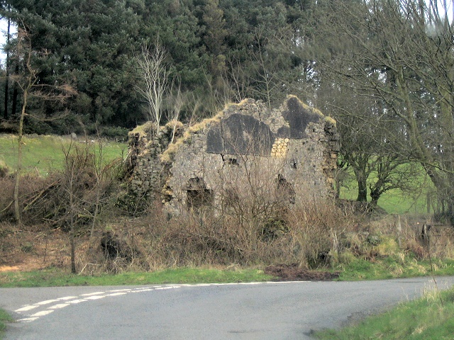
Llyn Taliaris Images
Images are sourced within 2km of 51.936245/-3.988062 or Grid Reference SN6328. Thanks to Geograph Open Source API. All images are credited.

![Llwybr Glan Thames / Glan Thames path Llwybr a heol fynedfa ym mynd i lawr y waered tuag at anhedd-dy o'r enw Glan Thames.
A path and access road descending towards a property known as Glan Thames (trans. bank of the Thames [stream]).](https://s2.geograph.org.uk/geophotos/07/24/25/7242546_92900d87.jpg)


Llyn Taliaris is located at Grid Ref: SN6328 (Lat: 51.936245, Lng: -3.988062)
Unitary Authority: Carmarthenshire
Police Authority: Dyfed Powys
What 3 Words
///mondays.romance.fittingly. Near Llandeilo, Carmarthenshire
Nearby Locations
Related Wikis

Cwmifor
Cwmifor is a small village in Carmarthenshire. It is a part of the Manordeilo and Salem community and is located between Llandeilo and Llandovery, near...
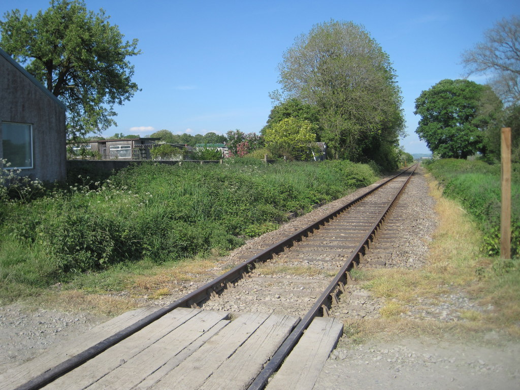
Talley Road Halt railway station
Talley Road Halt railway station served the town of Llandeilo, in the historical county of Glamorganshire, Wales, from 1859 to 1955 on the Vale of Towy...

Manordeilo
Manordeilo is a village in Carmarthenshire, Wales, near the River Tywi. == External links == Manordeilo and Salem Community Council website
Manordeilo and Salem
Manordeilo and Salem (Welsh: Maenordeilo a Salem) is a community located in Carmarthenshire, Wales. The population taken at the 2011 census was 1,754.The...
Talley
Talley (Welsh: Talyllychau, historically Tal y Llychau) is a village and community in Carmarthenshire, Wales.The population taken at the 2011 census was...

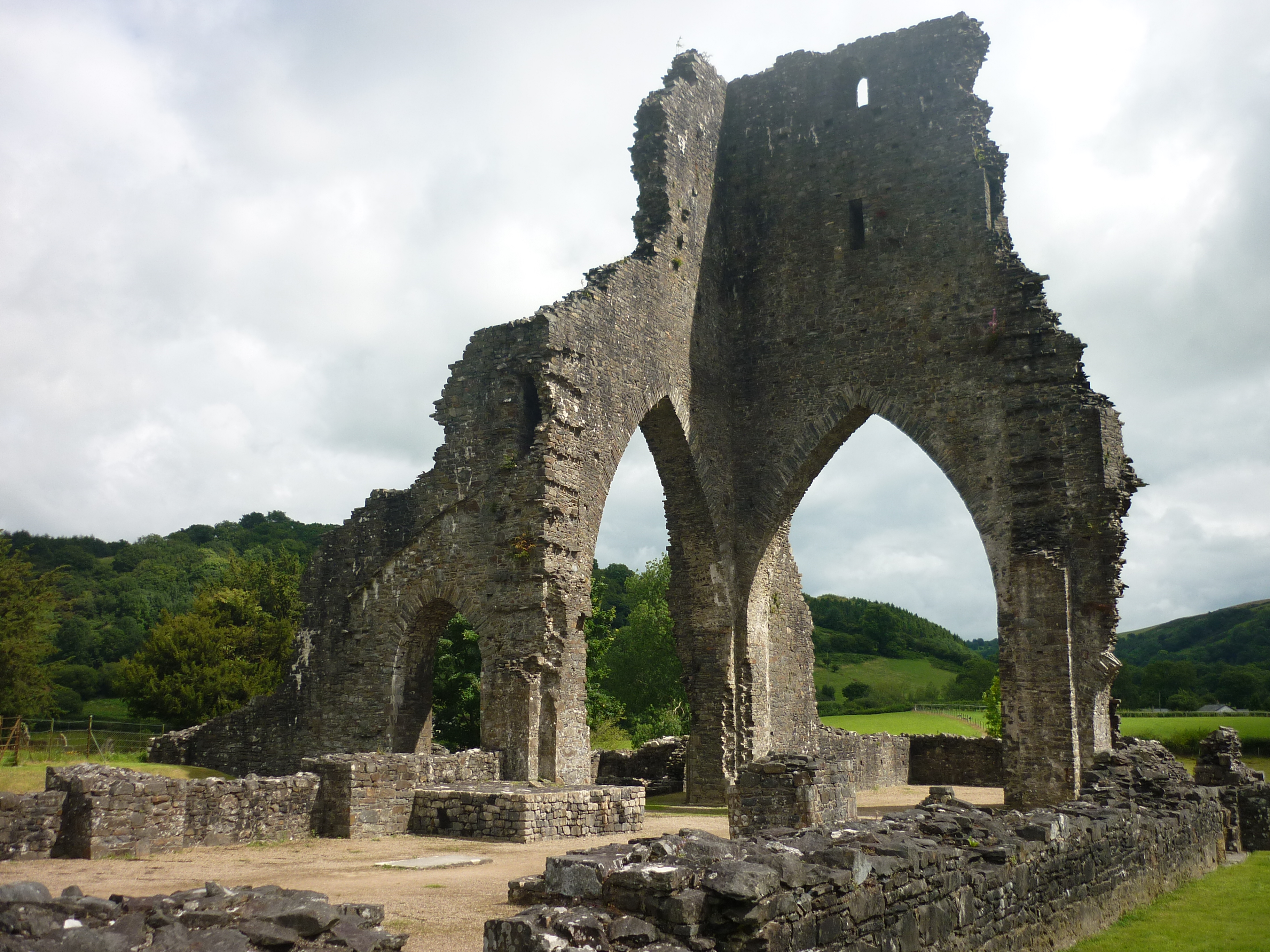
Talley Abbey
Talley Abbey (Welsh: Abaty Talyllychau) is a ruined former monastery of the Premonstratensians ("White Canons") in the village of Talley in Carmarthenshire...
Talley transmitting station
The Talley television relay station is sited on high ground to the north of the village of Talley in Carmarthenshire. It was originally built in 1986 as...

Talley Lakes
Upper Talley Lake (Welsh: Llyn Talyllychau Uchaf) and Lower Talley Lake (Welsh: Llyn Talyllychau Isaf) are two small lakes immediately north of the village...
Nearby Amenities
Located within 500m of 51.936245,-3.988062Have you been to Llyn Taliaris?
Leave your review of Llyn Taliaris below (or comments, questions and feedback).