Ayot Green
Settlement in Hertfordshire Welwyn Hatfield
England
Ayot Green

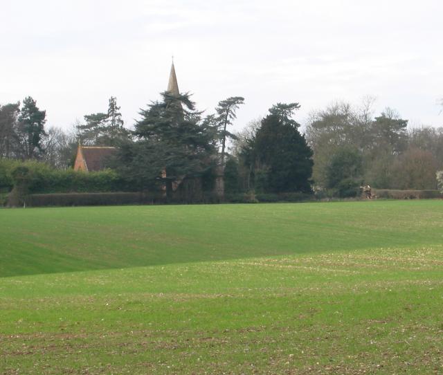
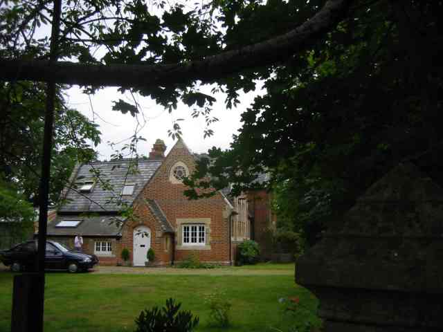
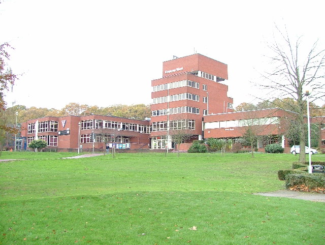
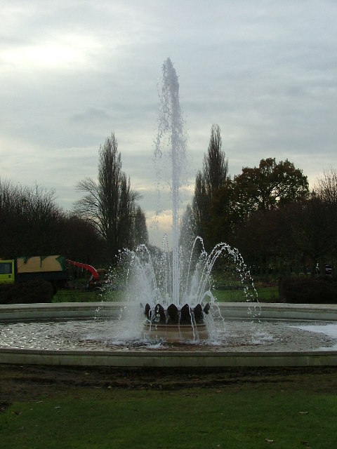
Ayot Green is a picturesque village located in the county of Hertfordshire, England. Situated in the Ayot St Peter civil parish, it is nestled in a rural setting and surrounded by lush green fields and rolling hills. The village is known for its tranquility and charm, attracting visitors who seek a peaceful retreat away from the bustling city life.
The village is characterized by its traditional English architecture, with many houses dating back to the 18th and 19th centuries. The buildings are predominantly constructed with red-brick, giving the village a timeless and quaint atmosphere. Ayot Green is also home to a number of listed buildings, including Ayot House, a Grade II listed manor house, which adds to the village's historical significance.
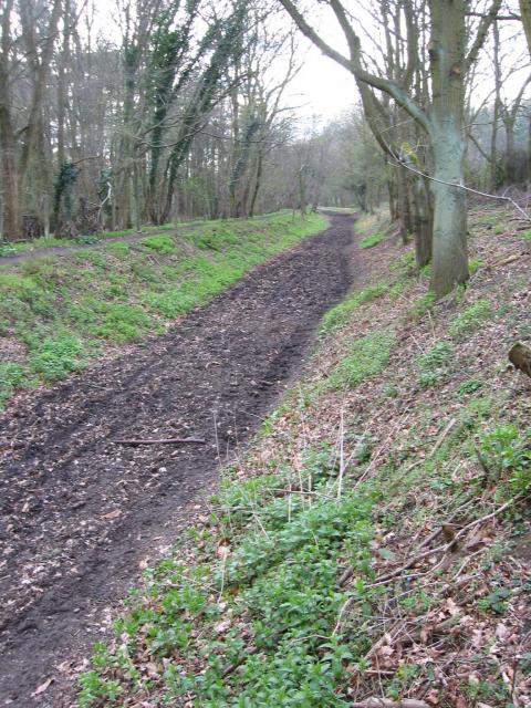
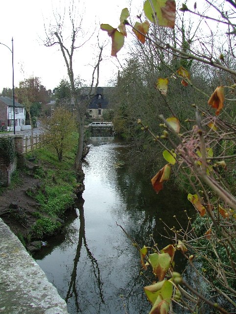
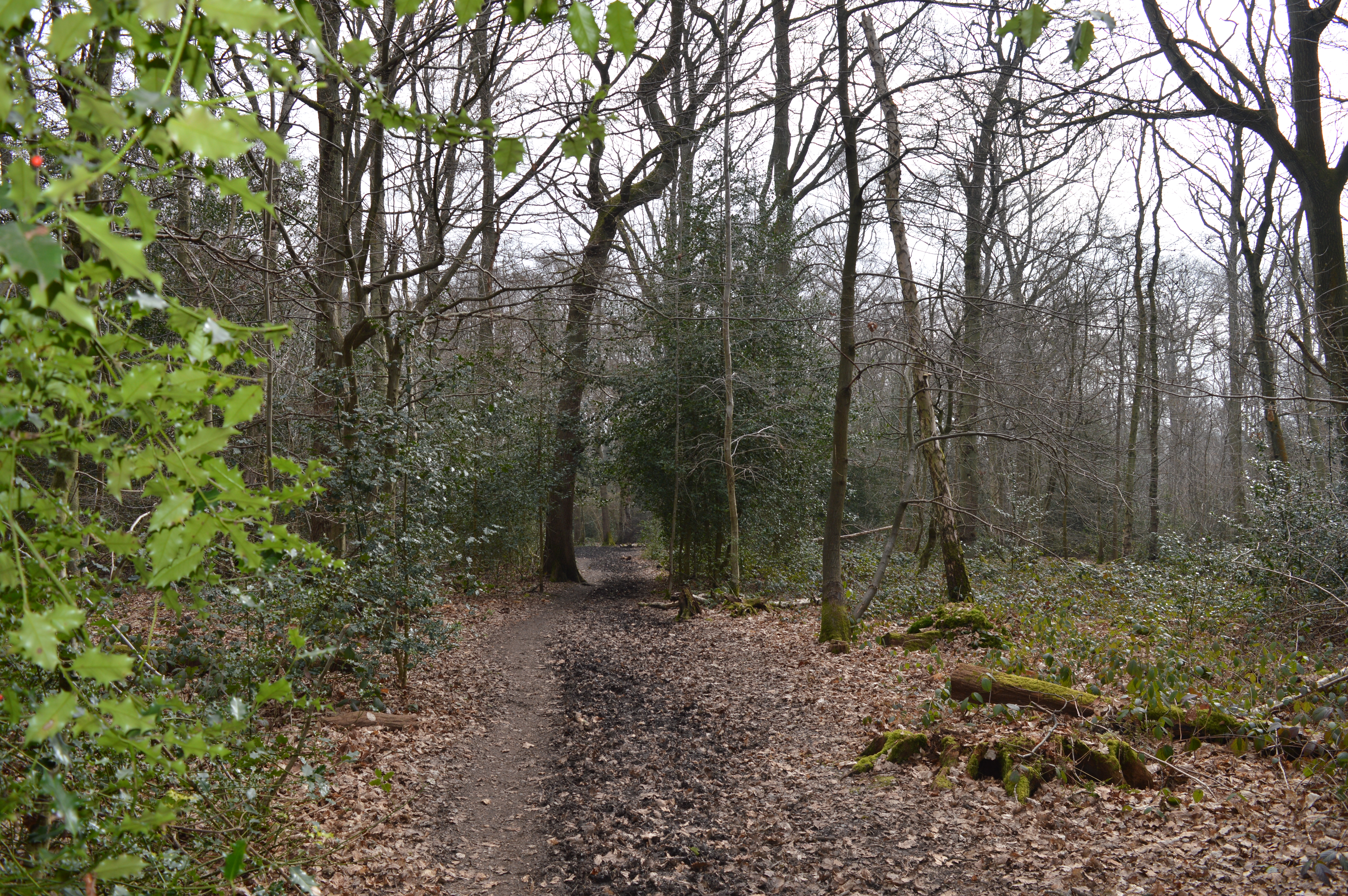
Nature enthusiasts will find Ayot Green a delightful place to explore, with several walking trails and footpaths that meander through the surrounding countryside. The village is located near the Ayot Greenway, a former railway line that has been converted into a popular walking and cycling route, offering stunning views of the surrounding landscape.
Despite its small size, Ayot Green has a strong sense of community, with various events and activities organized throughout the year. The village boasts a local pub that serves as a gathering place for residents and visitors alike.
Overall, Ayot Green is a charming and idyllic village, offering a tranquil escape for those seeking a respite from the fast-paced city life. Its natural beauty, historical architecture, and strong sense of community make it a truly special place to visit or call home.
If you have any feedback on the listing, please let us know in the comments section below.
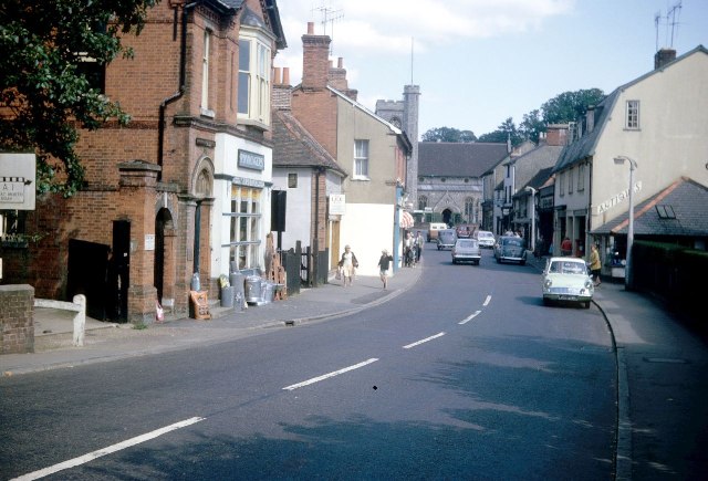
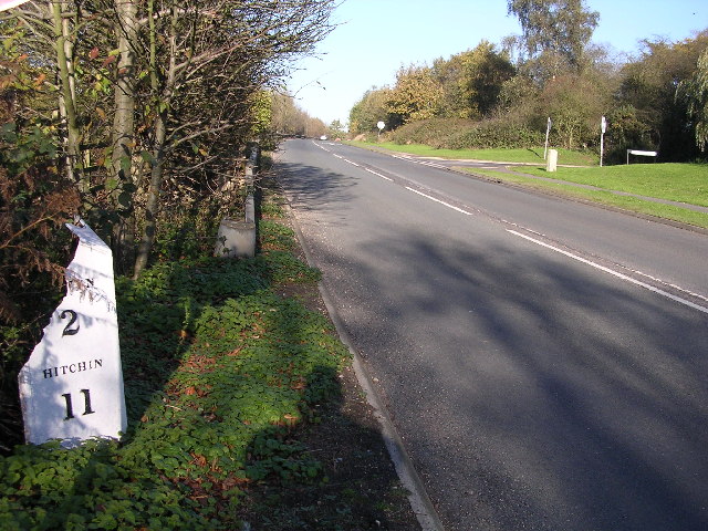
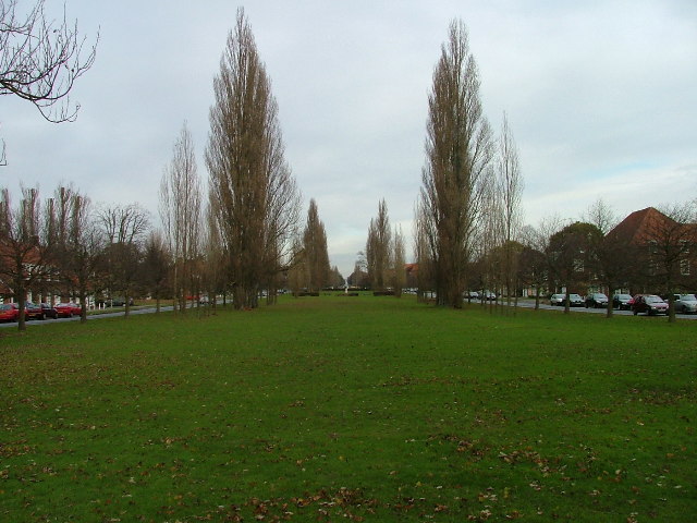
Ayot Green Images
Images are sourced within 2km of 51.812845/-0.227996 or Grid Reference TL2214. Thanks to Geograph Open Source API. All images are credited.


Ayot Green is located at Grid Ref: TL2214 (Lat: 51.812845, Lng: -0.227996)
Administrative County: Hertfordshire
District: Welwyn Hatfield
Police Authority: Hertfordshire
What 3 Words
///warns.sock.sheets. Near Welwyn Garden City, Hertfordshire
Nearby Locations
Related Wikis
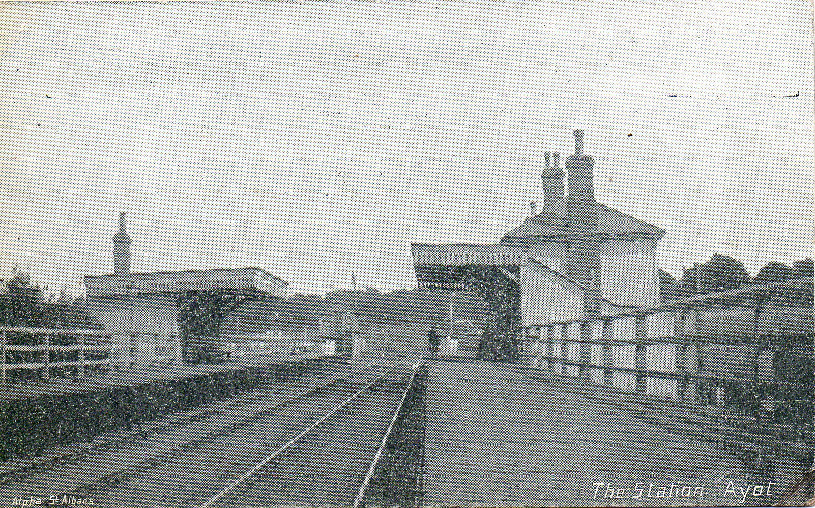
Ayot railway station
Ayot was a railway station serving Ayot St Peter near Welwyn Garden City in Hertfordshire, England. It was on the branch line to Dunstable. == History... ==

Ayot Green
Ayot Green is a hamlet in Hertfordshire, England and is near the A1(M) Motorway, close to Welwyn Garden City. It is a typical traditional English village...
Sherrardspark Wood
Sherrardspark Wood (grid reference TL230139) is a 74.9 hectares (185 acres) biological site of Special Scientific Interest in Welwyn Garden City, Hertfordshire...
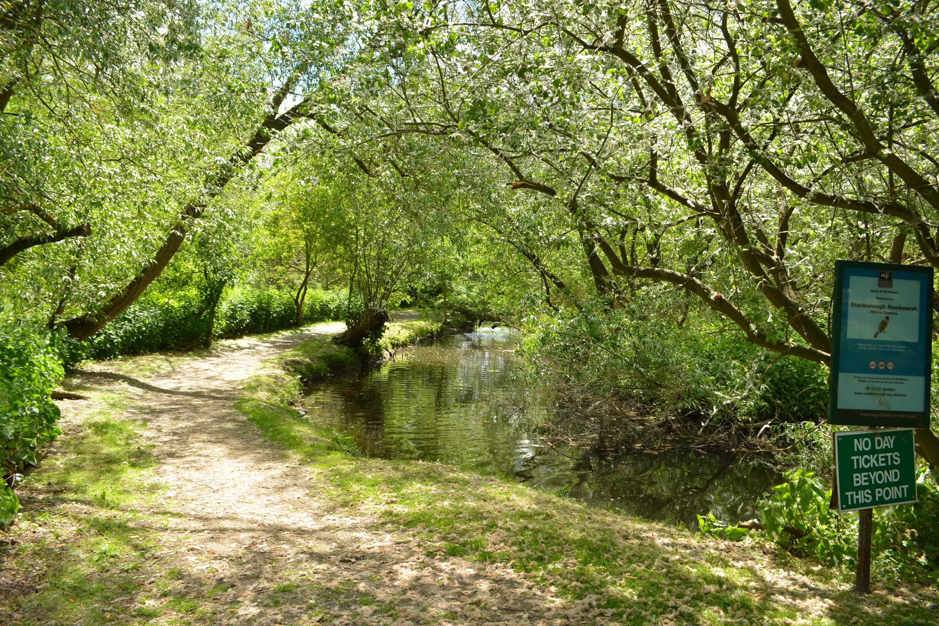
Stanborough Reedmarsh
Stanborough Reedmarsh is a 3.3 hectare Local Nature Reserve in Welwyn Garden City in Hertfordshire. It is owned by Welwyn Hatfield Borough Council and...
Nearby Amenities
Located within 500m of 51.812845,-0.227996Have you been to Ayot Green?
Leave your review of Ayot Green below (or comments, questions and feedback).