Blue Lake
Lake, Pool, Pond, Freshwater Marsh in Merionethshire
Wales
Blue Lake
Blue Lake is a picturesque freshwater body located in Merionethshire, Wales. Situated in a serene and verdant environment, this natural wonder encompasses characteristics of a lake, pool, pond, and freshwater marsh. It spans an area of approximately 2 hectares and is surrounded by lush vegetation, including reeds, grasses, and water lilies.
The lake boasts crystal clear turquoise waters that are renowned for their stunning beauty. Its pristine condition is attributed to the absence of motorized boats, ensuring a tranquil and undisturbed environment. Blue Lake is primarily fed by underground springs, which contribute to its exceptional clarity and purity.
Surrounded by rolling hills and verdant meadows, Blue Lake offers a haven for diverse flora and fauna. The freshwater marsh plays a crucial role in supporting a rich ecosystem, providing a habitat for various species of birds, insects, and amphibians. The surrounding vegetation attracts a wide range of bird species, including ducks, swans, and herons, making it a popular spot for birdwatchers and nature enthusiasts.
Visitors to Blue Lake can enjoy a range of activities such as fishing, rowing, and picnicking. The lake is home to an abundant population of fish, including trout and perch, making it a popular destination for anglers. The peaceful ambiance and breathtaking scenery also make it an ideal spot for relaxation and contemplation.
Blue Lake, with its pristine waters, diverse ecosystem, and stunning surroundings, provides a captivating destination for those seeking a tranquil escape into nature's beauty.
If you have any feedback on the listing, please let us know in the comments section below.
Blue Lake Images
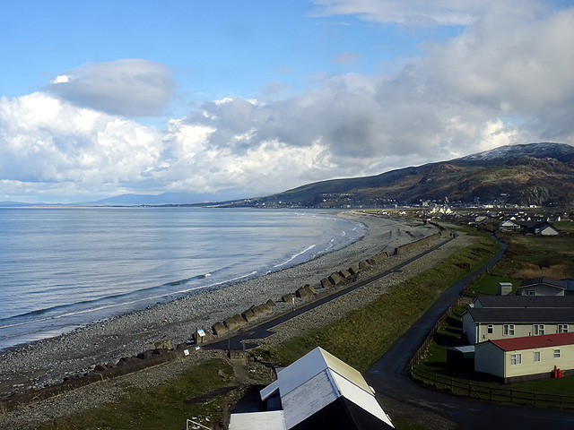
Images are sourced within 2km of 52.689043/-4.0416871 or Grid Reference SH6212. Thanks to Geograph Open Source API. All images are credited.


Blue Lake is located at Grid Ref: SH6212 (Lat: 52.689043, Lng: -4.0416871)
Unitary Authority: Gwynedd
Police Authority: North Wales
What 3 Words
///lifeboats.wheat.bumpy. Near Barmouth, Gwynedd
Nearby Locations
Related Wikis

Friog
Friog (Welsh: Y Friog) is a small village in North Wales, near Fairbourne. Its lake and beach are a tourist attraction to over 1,000 visitors a year. Friog...

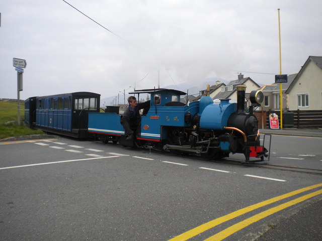
Fairbourne Railway
The Fairbourne Railway (Welsh: Rheilffordd y Friog) is a 12+1⁄4 in (311 mm) gauge miniature railway running for 2 miles (3.2 km) from the village of Fairbourne...

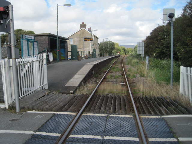
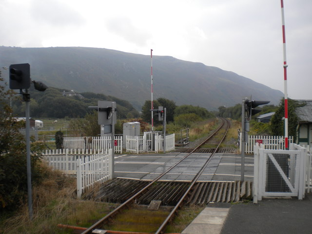
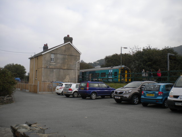
Fairbourne railway station
Fairbourne railway station serves the village of Fairbourne in Gwynedd, Wales. It is an unstaffed station on the Cambrian Coast Railway with passenger...

Fairbourne
Fairbourne is a seaside village in Gwynedd, Wales. Located on the coast of Barmouth Bay in Arthog community, to the south of the estuary of the River Mawddach...
Nearby Amenities
Located within 500m of 52.689043,-4.0416871Have you been to Blue Lake?
Leave your review of Blue Lake below (or comments, questions and feedback).