Harriet Pond
Lake, Pool, Pond, Freshwater Marsh in Caernarfonshire
Wales
Harriet Pond
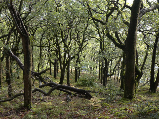
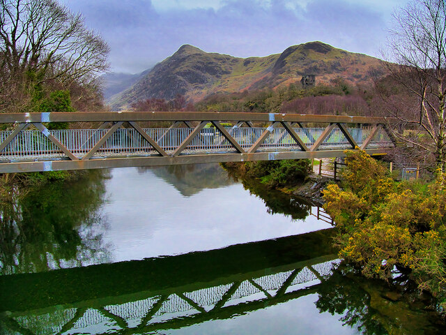
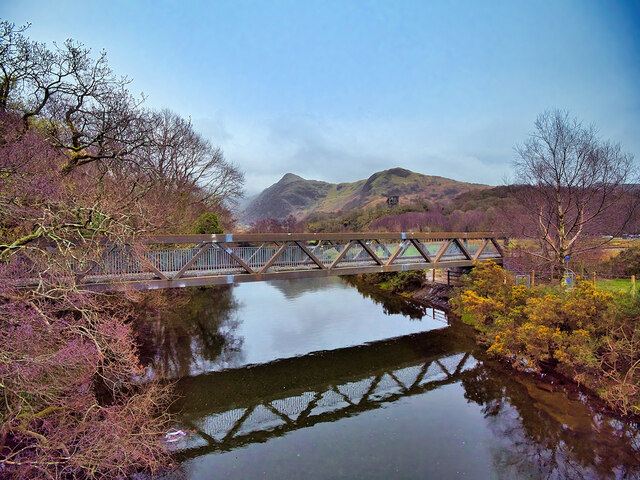
Harriet Pond is a picturesque freshwater body located in the county of Caernarfonshire, Wales. Nestled amidst the stunning natural landscapes of the region, this serene pond is a haven for both wildlife and visitors seeking tranquility.
Covering a surface area of approximately 5 acres, Harriet Pond boasts crystal-clear waters surrounded by lush vegetation and rolling hills. The pond is fed by natural springs and rainwater, ensuring a constant flow of fresh water throughout the year.
The diverse ecosystem of Harriet Pond supports a wide range of flora and fauna. The surrounding marshland is home to an abundance of native plants such as reeds, rushes, and water lilies, creating a vibrant and colorful environment. These plants provide crucial habitats for various bird species, including swans, ducks, and herons, which can be observed gracefully gliding across the pond's calm waters.
The tranquil atmosphere of Harriet Pond makes it an ideal spot for nature enthusiasts and photographers. Visitors can enjoy leisurely walks along the pond's edge, taking in the breathtaking scenery and observing the resident wildlife. The pond also offers opportunities for fishing, with anglers often seen casting their lines in search of trout and perch.
Harriet Pond is easily accessible, with a nearby parking area and designated paths leading to the water's edge. The site is well-maintained, with picnic spots and benches available for visitors to relax and soak in the peaceful surroundings. Whether you seek a moment of solitude or a chance to immerse yourself in nature's beauty, Harriet Pond is a true gem in Caernarfonshire.
If you have any feedback on the listing, please let us know in the comments section below.
Harriet Pond Images
Images are sourced within 2km of 53.123345/-4.1017054 or Grid Reference SH5960. Thanks to Geograph Open Source API. All images are credited.


Harriet Pond is located at Grid Ref: SH5960 (Lat: 53.123345, Lng: -4.1017054)
Unitary Authority: Gwynedd
Police Authority: North Wales
What 3 Words
///pops.pocket.breached. Near Llanberis, Gwynedd
Nearby Locations
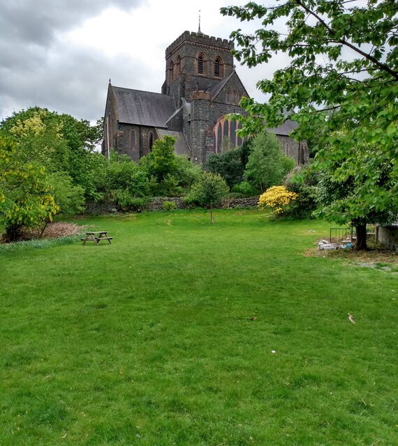
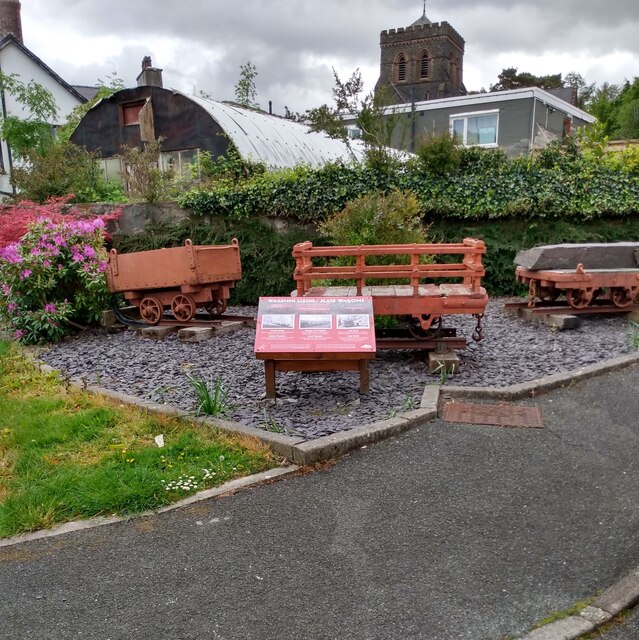
Related Wikis
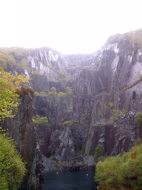
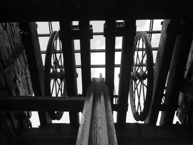
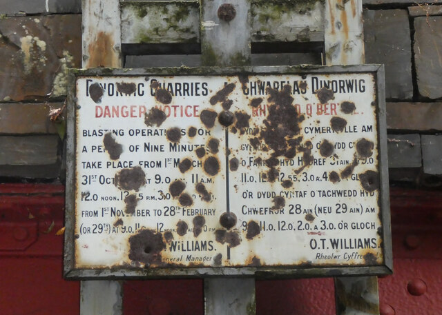
Dinorwic quarry
Dinorwic quarry ( din-OR-wig; Welsh: [dɪˈnɔrwɪɡ]; also known as Dinorwig quarry) is a large former slate quarry, now home to the Welsh National Slate Museum...

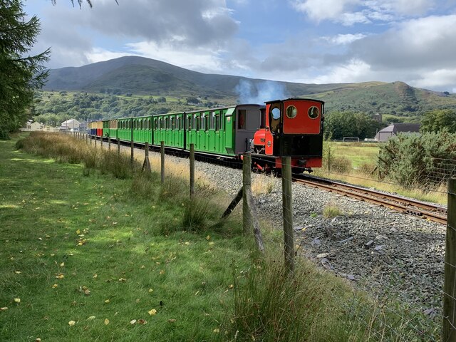
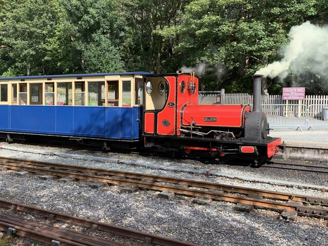
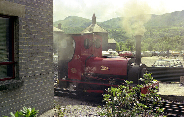
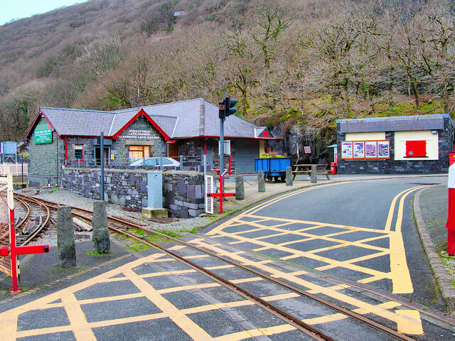
Gilfach Ddu railway station
Gilfach Ddu (LLR) railway station is an intermediate station on the Llanberis Lake Railway (LLR), located in Llanberis, Gwynedd, Wales. Most of the LLR...
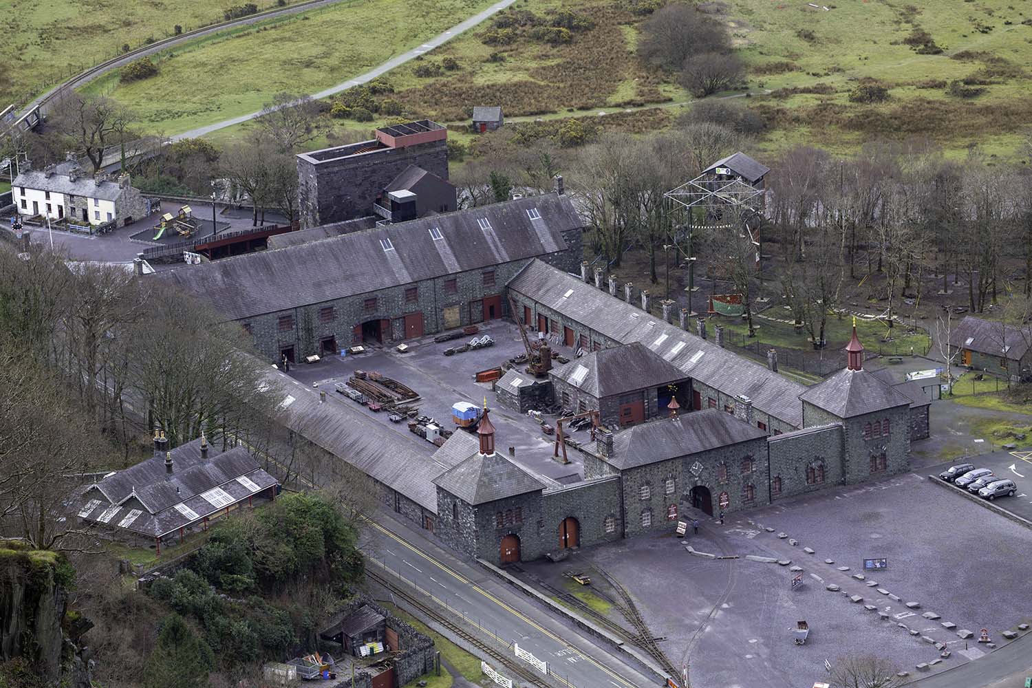
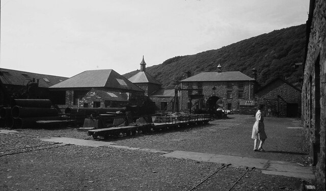
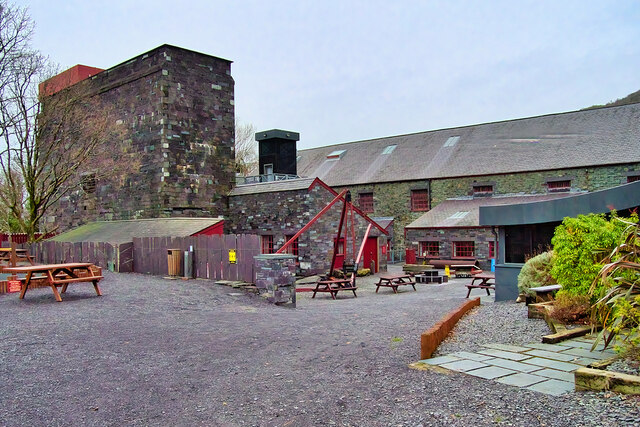
National Slate Museum
The National Slate Museum (previously known as the Welsh Slate Museum and the North Wales Quarrying Museum) is located at Gilfach Ddu, the 19th-century...
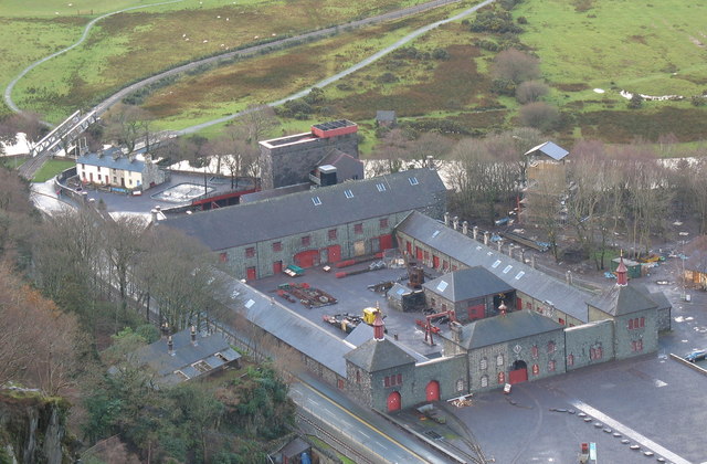
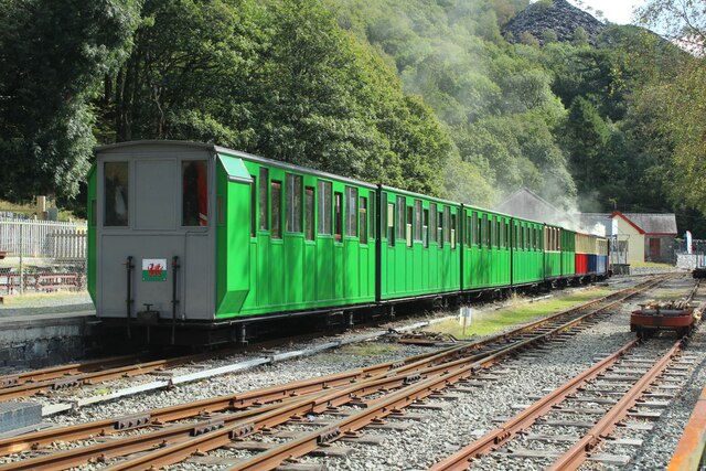
Gilfach Ddu
Gilfach Ddu (also known as the Dinorwic Slate Quarry Workshops) are a series of well preserved Grade I listed industrial buildings built to serve the Dinorwic...
Nearby Amenities
Located within 500m of 53.123345,-4.1017054Have you been to Harriet Pond?
Leave your review of Harriet Pond below (or comments, questions and feedback).