Craigshundie Loch
Lake, Pool, Pond, Freshwater Marsh in Kirkcudbrightshire
Scotland
Craigshundie Loch
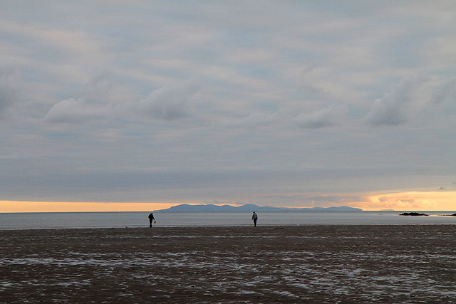
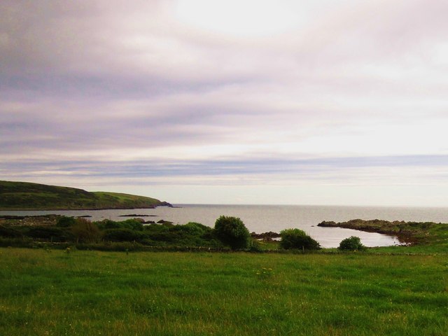
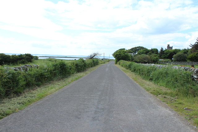
Craigshundie Loch is a picturesque freshwater body located in Kirkcudbrightshire, Scotland. Nestled in a tranquil natural setting, this loch is a popular destination for nature enthusiasts and those seeking a peaceful retreat.
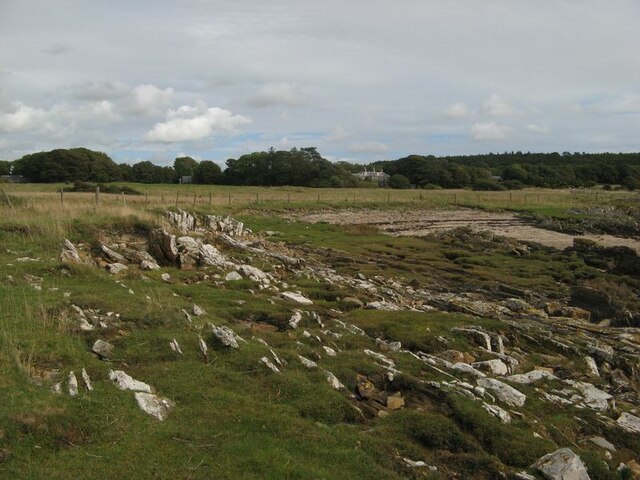
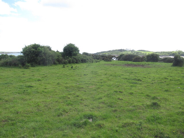
With a surface area of approximately 20 acres, Craigshundie Loch is considered a medium-sized body of water. Surrounded by rolling hills and lush greenery, it offers breathtaking views and a sense of serenity. The loch is primarily fed by small streams and rainfall, ensuring a constant flow of freshwater.
The water in Craigshundie Loch is clear and relatively shallow, with an average depth of around 5 feet. This makes it ideal for various recreational activities, such as fishing and boating. Anglers are drawn to the loch for its abundant fish population, including brown trout, pike, and perch.
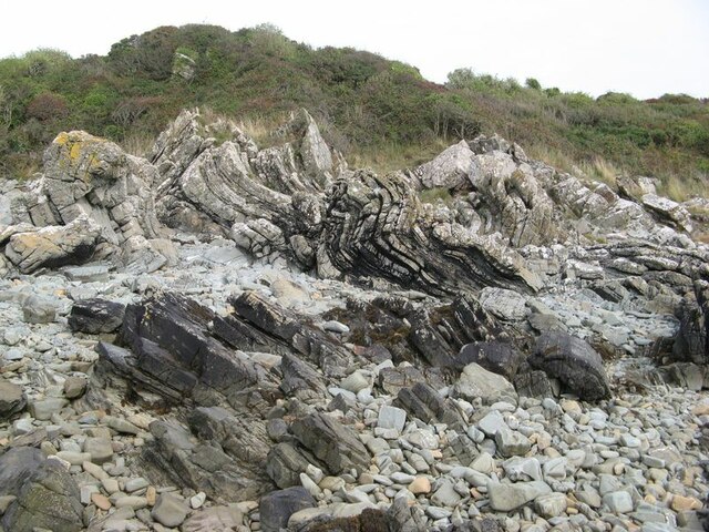
The surrounding area of Craigshundie Loch is home to a diverse range of flora and fauna. The loch's freshwater marsh provides a habitat for numerous plant species, such as water lilies and reeds, which attract an array of birdlife. Birdwatchers can spot species like herons, swans, and ducks, making it a paradise for ornithologists.
Access to Craigshundie Loch is relatively easy, with a nearby car park and designated walking trails. Visitors can enjoy a leisurely stroll along the loch's perimeter, taking in the stunning natural beauty. The tranquility and abundant wildlife make Craigshundie Loch a hidden gem in Kirkcudbrightshire, offering a peaceful escape for nature lovers.
If you have any feedback on the listing, please let us know in the comments section below.
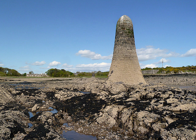
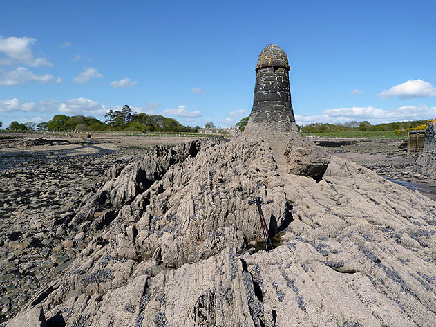
Craigshundie Loch Images
Images are sourced within 2km of 54.821588/-4.1931803 or Grid Reference NX5949. Thanks to Geograph Open Source API. All images are credited.

Craigshundie Loch is located at Grid Ref: NX5949 (Lat: 54.821588, Lng: -4.1931803)
Unitary Authority: Dumfries and Galloway
Police Authority: Dumfries and Galloway
What 3 Words
///gossiping.thrilled.makes. Near Kirkcudbright, Dumfries & Galloway
Nearby Locations
Related Wikis

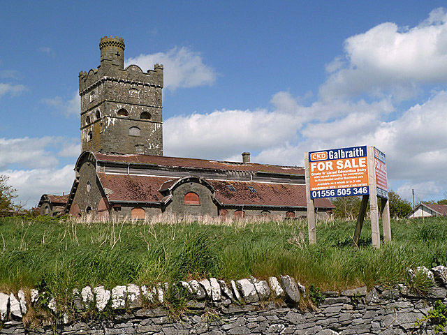
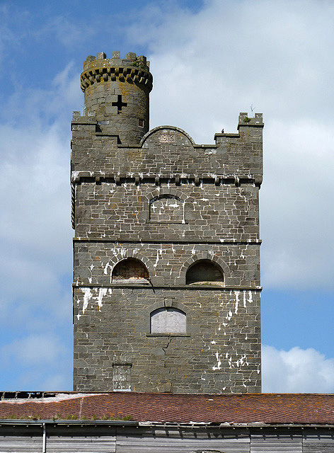
Corseyard Farm
Corseyard Farm, known locally as the Coo Palace and now marketed under that name, is an architecturally unusual dairy farm near Kirkandrews in Scotland...

Kirkandrews, Dumfries and Galloway
Kirkandrews, sometimes written as Kirkanders in older documents, is a coastal hamlet about 9 kilometres (6 mi) west-southwest of Kirkcudbright in Dumfries...

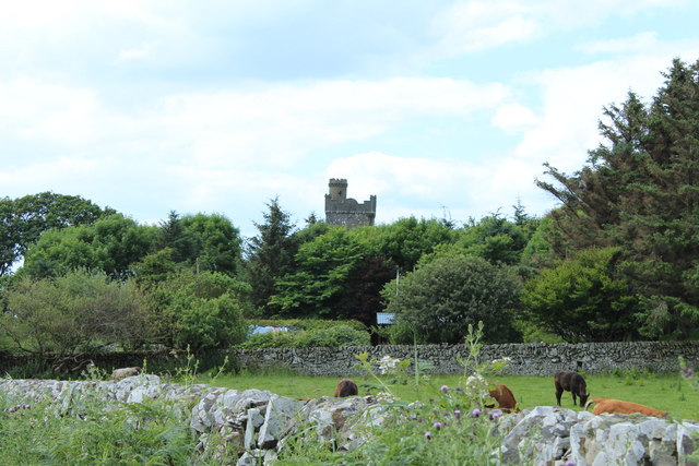
Plunton Castle
Plunton Castle is a ruined L-plan tower house between Kirkandrews and Gatehouse of Fleet in Dumfries and Galloway, Scotland. Built around 1575 for the...

Islands of Fleet
The Islands of Fleet are a group of small islands in Galloway, Scotland. They are in Fleet Bay, which is part of Wigtown Bay, and is in turn part of the...

Water of Fleet
The Water of Fleet is a river in Scotland flowing into Fleet Bay on the Solway Firth. Its two tributaries are the Big Water of Fleet, which begins around...

Borgue, Dumfries and Galloway
Borgue (pronounced /ˈbɔrɡ/; Scottish Gaelic: Borgh) is a village and parish in the Stewartry of Kirkcudbright in Dumfries and Galloway, Scotland. It lies...

Girthon Old Parish Church
Girthon Old Parish Church is a ruined ecclesiastical building in Girthon, near Gatehouse of Fleet in Dumfries and Galloway. Built around 1620 on the foundations...

Borgue Old House
Borgue Old House is a ruined Y-plan house, about 300 metres (0.2 mi) east of Borgue in Dumfries and Galloway, Scotland. Built in 1680, but probably incorporating...
Related Videos

Wild camping at Carrick bay | exploring tidal island
Wild camping at Carrick bay on the south west coast of Scotland in the Dumfries and Galloway region , not too far from the ...

Drop Slide, Cream o' Galloway, Dumfries and Galloway
Wee one's 1st ever time on the drop slide (and followed by the 2nd)

Spring Turnout 2021 at The Ethical Dairy
For the past few years we've filmed spring turnout, to share the joy and excitement of the cows going out to grass with our ...

Drop Slide, Cream o' Galloway, Dumfries and Galloway
Cadan enjoyed the drop slide, this video was his 3rd time, and somehow he managed to come down head first.
Nearby Amenities
Located within 500m of 54.821588,-4.1931803Have you been to Craigshundie Loch?
Leave your review of Craigshundie Loch below (or comments, questions and feedback).