Gonerby Hill Foot
Settlement in Lincolnshire South Kesteven
England
Gonerby Hill Foot
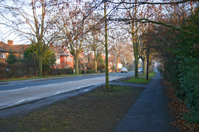
Gonerby Hill Foot is a small village located in the county of Lincolnshire, in the east of England. Situated approximately 2 miles southwest of Grantham, the village is nestled in a picturesque rural setting, surrounded by rolling hills and farmland.
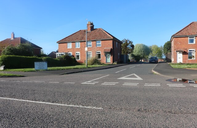
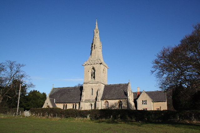
The village itself is home to a close-knit community, with a population of around 600 residents. The local economy is mainly centered around agriculture, with the majority of the villagers working in farming or related industries. The village is characterized by its quaint and charming atmosphere, with traditional stone houses, well-maintained gardens, and narrow country lanes.
Gonerby Hill Foot offers a range of amenities for its residents, including a village hall, a primary school, and a local pub. The village hall serves as a hub for community activities, hosting events such as social gatherings, clubs, and fundraising activities. The primary school provides education for children in the village and the surrounding areas, fostering a nurturing and supportive learning environment.
For outdoor enthusiasts, Gonerby Hill Foot boasts numerous picturesque walking routes and trails, allowing residents and visitors to enjoy the beautiful Lincolnshire countryside. The village is also conveniently located close to the A1, providing easy access to nearby towns and cities.
Overall, Gonerby Hill Foot is a tranquil and idyllic village, offering a peaceful retreat from the hustle and bustle of city life, while still providing essential amenities and a strong sense of community.
If you have any feedback on the listing, please let us know in the comments section below.
Gonerby Hill Foot Images
Images are sourced within 2km of 52.927269/-0.65517 or Grid Reference SK9037. Thanks to Geograph Open Source API. All images are credited.


Gonerby Hill Foot is located at Grid Ref: SK9037 (Lat: 52.927269, Lng: -0.65517)
Division: Parts of Kesteven
Administrative County: Lincolnshire
District: South Kesteven
Police Authority: Lincolnshire
What 3 Words
///managers.intruded.hardening. Near Great Gonerby, Lincolnshire
Nearby Locations
Related Wikis

Central Technology and Sports College
Central Technology & Sports College was a secondary school in the north of Grantham in Lincolnshire, England. It became part of The Priory Ruskin Academy...

Eden House Hotel, Grantham
The Eden House Hotel is a building of historical significance in Grantham, Lincolnshire, England. It was built as a mansion in about 1850 and for many...
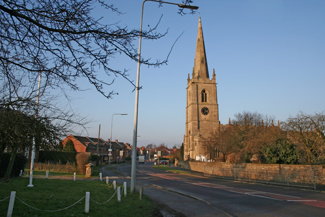
Great Gonerby
Great Gonerby is a village and civil parish in the South Kesteven district of Lincolnshire, England. The population of the civil parish at the 2011 census...
Oak Bank School
Oak Bank School is a co-educational special school with academy status located in Leighton Buzzard, Bedfordshire, England. The school accepts pupils from...
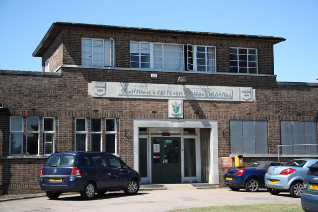
Grantham and District Hospital
Grantham and District Hospital, is an NHS hospital in Grantham, Lincolnshire, England. It is managed by United Lincolnshire Hospitals NHS Trust. ��2�...
Murder of Julie Pacey
The murder of Julie Pacey (1955/1956 – 26 September 1994) was a mysterious, and still unsolved, murder of a mother in her own home in Grantham, England...
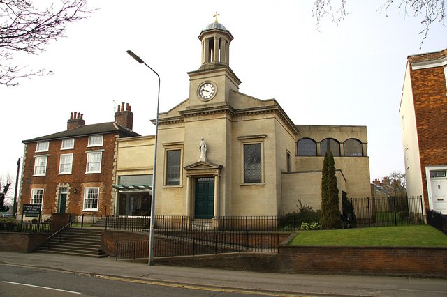
St Mary's Church, Grantham
St Mary's Church or St Mary the Immaculate Church is a Roman Catholic parish church in Grantham, Lincolnshire, England. It was built in phases from 1833...
Manthorpe, Grantham
Manthorpe is a village in the South Kesteven district of Lincolnshire, England. It is on the northern edge of the town of Grantham and on the Grantham...
Nearby Amenities
Located within 500m of 52.927269,-0.65517Have you been to Gonerby Hill Foot?
Leave your review of Gonerby Hill Foot below (or comments, questions and feedback).