Deepston Pow
Lake, Pool, Pond, Freshwater Marsh in Stirlingshire
Scotland
Deepston Pow
Deepston Pow is a picturesque freshwater marsh located in Stirlingshire, Scotland. Nestled amidst the stunning landscape of the Scottish Highlands, this natural attraction is a haven for wildlife and a popular destination for nature enthusiasts.
Covering an area of approximately 10 acres, Deepston Pow is a combination of a lake, pool, pond, and freshwater marsh. It is situated in a low-lying area surrounded by rolling hills and dense forests, creating a tranquil and serene environment.
The pow is fed by several small streams and springs, resulting in a constant flow of freshwater. This sustains a diverse ecosystem, supporting a wide variety of plant and animal species. The marshy area is covered in lush vegetation, including reeds, rushes, and water lilies, creating a vibrant and colorful landscape.
The pow is home to a rich assortment of wildlife. Birdwatchers flock to Deepston Pow to catch glimpses of rare and migratory bird species such as herons, ducks, and swans. The surrounding woodlands also attract woodland creatures like deer, foxes, and squirrels.
Visitors can explore Deepston Pow by following the well-maintained pathways that wind through the marshland. There are several observation points strategically placed to allow for uninterrupted views of the wildlife and the surrounding natural beauty.
Deepston Pow offers a peaceful retreat for those seeking solace in nature. Whether you are an avid birdwatcher, a keen photographer, or simply someone who appreciates the tranquility of the great outdoors, this freshwater marsh is a must-visit destination in Stirlingshire.
If you have any feedback on the listing, please let us know in the comments section below.
Deepston Pow Images
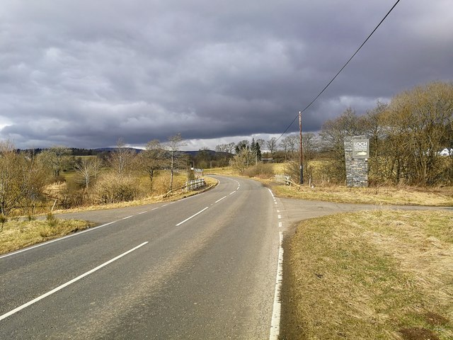
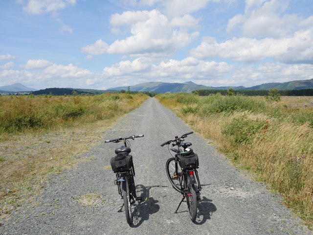
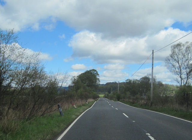
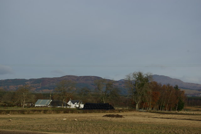
Images are sourced within 2km of 56.134107/-4.3274723 or Grid Reference NS5595. Thanks to Geograph Open Source API. All images are credited.


Deepston Pow is located at Grid Ref: NS5595 (Lat: 56.134107, Lng: -4.3274723)
Unitary Authority: Stirling
Police Authority: Forth Valley
What 3 Words
///shovels.laugh.notice. Near Balfron, Stirling
Nearby Locations
Related Wikis
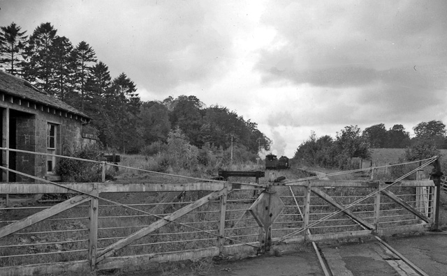
Buchlyvie railway station
Buchlyvie railway station served the village of Buchlyvie, Stirling, Scotland, from 1856 to 1959 on the Forth and Clyde Junction Railway. == History... ==
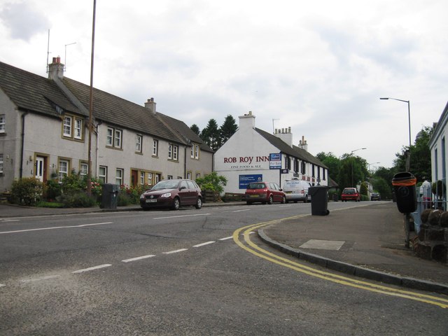
Buchlyvie
Buchlyvie is a village in the Stirling council area of Scotland. It is situated 14 miles (23 km) west of Stirling and 18 miles (29 km) north of Glasgow...

Gartmore House
Gartmore House is a country house and estate in the village of Gartmore, Stirling, Scotland. It was built in the mid-18th century for the Graham family...

Cunninghame Graham Memorial
The Cunninghame Graham Memorial is a stone monument dedicated to the memory of 'Don Roberto' Robert Bontine Cunninghame Graham (1852–1936) 15th of Gartmore...
Nearby Amenities
Located within 500m of 56.134107,-4.3274723Have you been to Deepston Pow?
Leave your review of Deepston Pow below (or comments, questions and feedback).