Loch Fir Raoilt

Lake, Pool, Pond, Freshwater Marsh in Ross-shire

Scotland

Loch Fir Raoilt

OS Trig Point on Breac-Bheinn, Scottish Highlands The Ordnance Survey trig point (at 462 m, 1516 ft) on the east end of the summit of Breac-Bheinn.  The view is facing east towards the east cost.  The water behind is the inland end of the Dornoch Firth.
OS Trig Point on Breac-Bheinn, Scottish Highlands Credit: Andrew Tryon

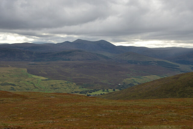
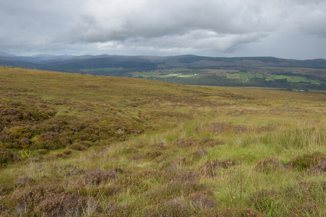
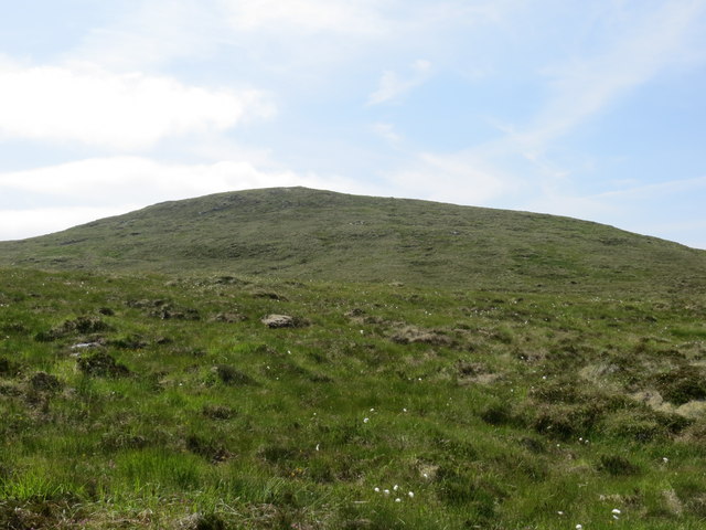
Loch Fir Raoilt is a freshwater lake located in Ross-shire, Scotland. It is a relatively small body of water, covering an area of approximately 10 acres. The lake is surrounded by lush greenery, including forests and marshlands, creating a picturesque and tranquil setting.

The water in Loch Fir Raoilt is clear and pristine, making it an ideal habitat for a variety of aquatic plants and animals. The lake is home to a diverse range of species, including fish such as trout and perch, as well as waterfowl like ducks and swans.

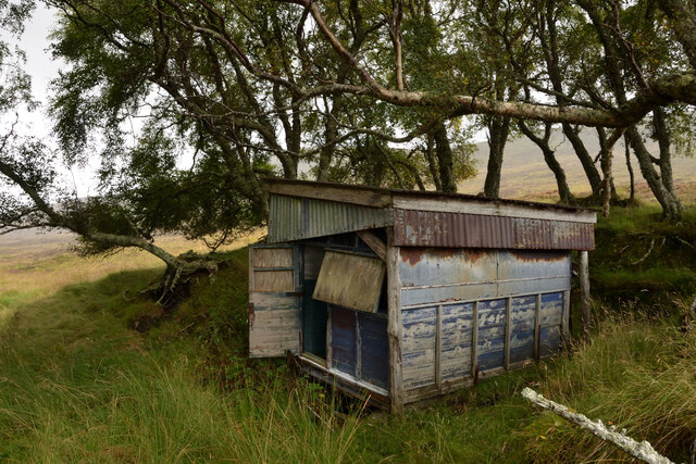
Visitors to Loch Fir Raoilt can enjoy a range of outdoor activities, including fishing, birdwatching, and hiking along the scenic shores. The lake is also popular for boating and kayaking, with plenty of opportunities to explore the surrounding natural beauty.

Overall, Loch Fir Raoilt is a peaceful and beautiful destination for nature lovers and outdoor enthusiasts looking to experience the stunning landscapes and wildlife of the Scottish Highlands.

If you have any feedback on the listing, please let us know in the comments section below.

Loch Fir Raoilt Images

Images are sourced within 2km of 57.920183/-4.5125583 or Grid Reference NH5195. Thanks to Geograph Open Source API. All images are credited.

OS Trig Point on Breac-Bheinn, Scottish Highlands The Ordnance Survey trig point (at 462 m, 1516 ft) on the east end of the summit of Breac-Bheinn.  The view is facing east towards the east cost.  The water behind is the inland end of the Dornoch Firth.
OS Trig Point on Breac-Bheinn, Scottish Highlands
The Ordnance Survey trig point (at 462 m, 1516 ft) on the east end of the summit of Breac-Bheinn. The view is facing east towards the east cost. The water behind is the inland end of the Dornoch Firth.
Meall Dheirgidh, Ross-shire A view of the hill Meall Dheirgidh (506 m, 1660 ft) as seen from the southwestern slopes of Breac Bheinn, Ross-shire, Scottish Highlands.
Meall Dheirgidh, Ross-shire
A view of the hill Meall Dheirgidh (506 m, 1660 ft) as seen from the southwestern slopes of Breac Bheinn, Ross-shire, Scottish Highlands.
Trig point on Breac-Bheinn Breac-Bheinn's trig point is not at the hill's highest location but to the east of it and one metre lower. The pillar is mapped as being very close to the meeting point of four grid squares but seems certainly to be in NH4995 - Trigpointing UK has it just inside by just one metre; <span class="nowrap"><a title="http://www.trigpointinguk.com/trigs/trig-details.php?t=1604" rel="nofollow ugc noopener" href="http://www.trigpointinguk.com/trigs/trig-details.php?t=1604">Link</a><img style="margin-left:2px;" alt="External link" title="External link - shift click to open in new window" src="https://s1.geograph.org.uk/img/external.png" width="10" height="10"/></span>
Trig point on Breac-Bheinn
Breac-Bheinn's trig point is not at the hill's highest location but to the east of it and one metre lower. The pillar is mapped as being very close to the meeting point of four grid squares but seems certainly to be in NH4995 - Trigpointing UK has it just inside by just one metre; LinkExternal link
View towards Dornoch Firth from Breac-Bheinn, Ross-shire View facing east towards the east coast.
View towards Dornoch Firth from Breac-Bheinn, Ross-shire
View facing east towards the east coast.
Moorland near Carn Smairt, Ross-shire The large hill on the horizon is Carn Chuinneag (838 m, 2749 ft) some 12km (7.5 miles) away to the south.
Moorland near Carn Smairt, Ross-shire
The large hill on the horizon is Carn Chuinneag (838 m, 2749 ft) some 12km (7.5 miles) away to the south.
Old Hut near Strathkyle, Ross-shire Now derelict, appears to be fashioned in part from an old trailer.
Old Hut near Strathkyle, Ross-shire
Now derelict, appears to be fashioned in part from an old trailer.
Kissing Gate and Deer Fence on the Moors above Achnahanat, Ross-shire
Moorland above Kyle of Sutherland, Ross-shire
The Course of the Achnahanat Burn, Ross-shire The depression in the ground in front is the course of the Achnahanat Burn watercourse, on the moors above Kyle of Sutherland.
The Course of the Achnahanat Burn, Ross-shire
The depression in the ground in front is the course of the Achnahanat Burn watercourse, on the moors above Kyle of Sutherland.
Small plantation of pines on the moor
Estate shed in the moorland plantation
The edge of Birchfield Wood from a disused moorland track
Seldom used estate track leading to Strathkyle House
Fenceline at edge of Rhelonie Wood
Allt Domhain below Sidhean an Radhairc
Southern end of Loch Fir Raoilt
Sidhean an Radhairc from the shore of Loch Fir Raoilt
North end of Loch Fir Raoilt
Show me another place!

Loch Fir Raoilt is located at Grid Ref: NH5195 (Lat: 57.920183, Lng: -4.5125583)

Unitary Authority: Highland

Police Authority: Highlands and Islands

What 3 Words

///blotches.umbrella.cleansed. Near Lairg, Highland

Related Wikis

Achnahanat

Achnahanat (Scottish Gaelic: Achadh na h-Annaid) is a crofting settlement on the south side of the Kyle of Sutherland in Scotland. It is about 4 miles...

Battle of Aldy Charrish

The Battle of Aldy Charrish (also known as the Battle of Auldicharish, Aldicharrish, Aldecharwis, Alt a'Charrais, Alt Charrais, Alt na Charrais) was a...

Rhelonie

Rhelonie (Scottish Gaelic: Ruigh an Lòin) is a crofting hamlet in the Highland region of Scotland. Rhelonie is 2 miles northwest of the village of Culrain...

Linsidemore

Linsidemore (Scottish Gaelic: Lianasaid Mhòr) is a tiny township on the north bank of the Kyle of Sutherland in the Scottish Highlands. It is about 3 miles...

Have you been to Loch Fir Raoilt?

Leave your review of Loch Fir Raoilt below (or comments, questions and feedback).