Clashmore Loch
Lake, Pool, Pond, Freshwater Marsh in Stirlingshire
Scotland
Clashmore Loch

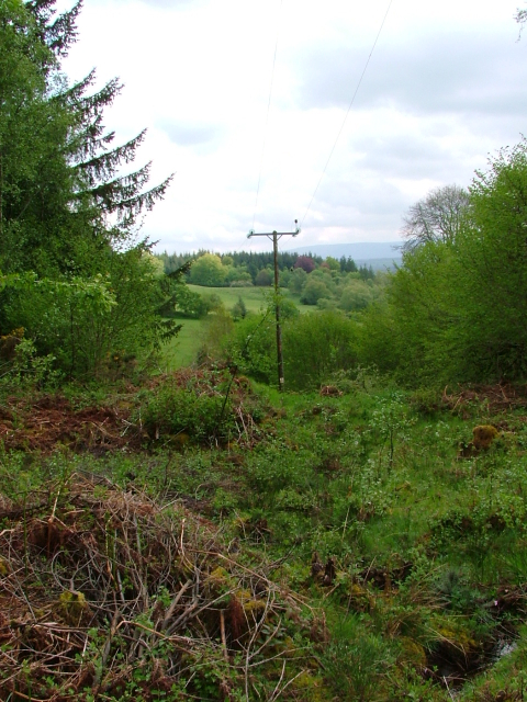
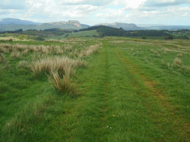
Clashmore Loch is a picturesque freshwater loch located in Stirlingshire, Scotland. Nestled amidst rolling hills and verdant landscapes, the loch stretches over an area of approximately 20 acres, making it a tranquil and serene spot for nature enthusiasts and outdoor enthusiasts alike.
Surrounded by dense woodlands and lush vegetation, the loch serves as a haven for a diverse range of flora and fauna. The surrounding marshy areas are home to an array of water plants, including reeds, rushes, and lilies, which add to the charm and beauty of the loch. The loch's crystal-clear waters are teeming with life, supporting a variety of fish species such as brown trout, perch, and pike, making it a popular spot for fishing enthusiasts.
The loch offers a range of recreational activities for visitors to enjoy. Fishing is a popular pastime, with anglers flocking to the loch to try their luck at catching a prized fish. Additionally, the calm waters of Clashmore Loch are perfect for kayaking and canoeing, allowing visitors to explore the loch at their own pace and soak in the stunning natural surroundings.
The loch is also a haven for birdwatchers, as it attracts a diverse range of bird species throughout the year. Visitors may spot species such as herons, swans, ducks, and various migratory birds, offering a wonderful opportunity for bird enthusiasts to observe and appreciate these magnificent creatures in their natural habitat.
In conclusion, Clashmore Loch in Stirlingshire is a true gem of natural beauty, providing a peaceful retreat for visitors to enjoy a range of outdoor activities while immersing themselves in the stunning Scottish countryside.
If you have any feedback on the listing, please let us know in the comments section below.
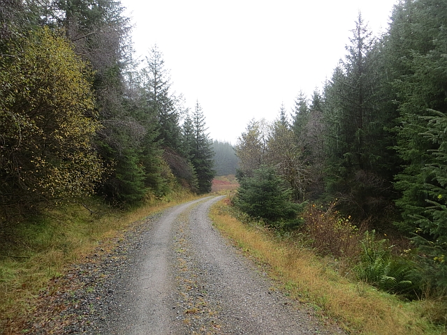
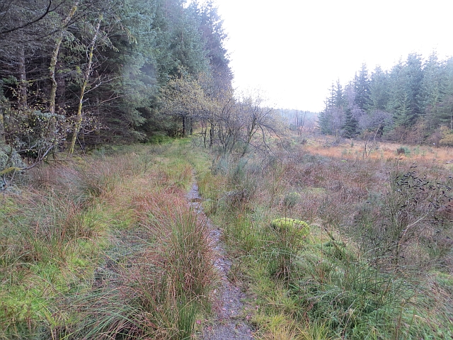
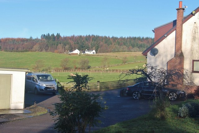
Clashmore Loch Images
Images are sourced within 2km of 56.147415/-4.4160541 or Grid Reference NS5097. Thanks to Geograph Open Source API. All images are credited.


Clashmore Loch is located at Grid Ref: NS5097 (Lat: 56.147415, Lng: -4.4160541)
Unitary Authority: Stirling
Police Authority: Forth Valley
What 3 Words
///weeknight.released.cone. Near Balfron, Stirling
Nearby Locations
Related Wikis

Gartmore
Gartmore (Scottish Gaelic An Gart Mòr) is a village in the Stirling council area, Scotland. It is a village with a view of the Wallace Monument in Stirling...

Cunninghame Graham Memorial
The Cunninghame Graham Memorial is a stone monument dedicated to the memory of 'Don Roberto' Robert Bontine Cunninghame Graham (1852–1936) 15th of Gartmore...

Dalmary
Dalmary is a small hamlet in Stirling, Scotland, situated in the civil parish of Drymen. Unlike other settlements in the Drymen civil parish, Dalmary has...

Gartmore House
Gartmore House is a country house and estate in the village of Gartmore, Stirling, Scotland. It was built in the mid-18th century for the Graham family...
Have you been to Clashmore Loch?
Leave your review of Clashmore Loch below (or comments, questions and feedback).