Black Loop

Lake, Pool, Pond, Freshwater Marsh in Kirkcudbrightshire

Scotland

Black Loop

Hill rising beyond Tonderghie Burn The burn flows where the road bends sharply to the right. Prominent though it appears, the hill has little identity of its own being just a steep rise climbing to undulating ground mainly covered with coniferous trees.
Hill rising beyond Tonderghie Burn Credit: Trevor Littlewood

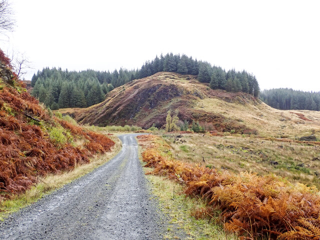
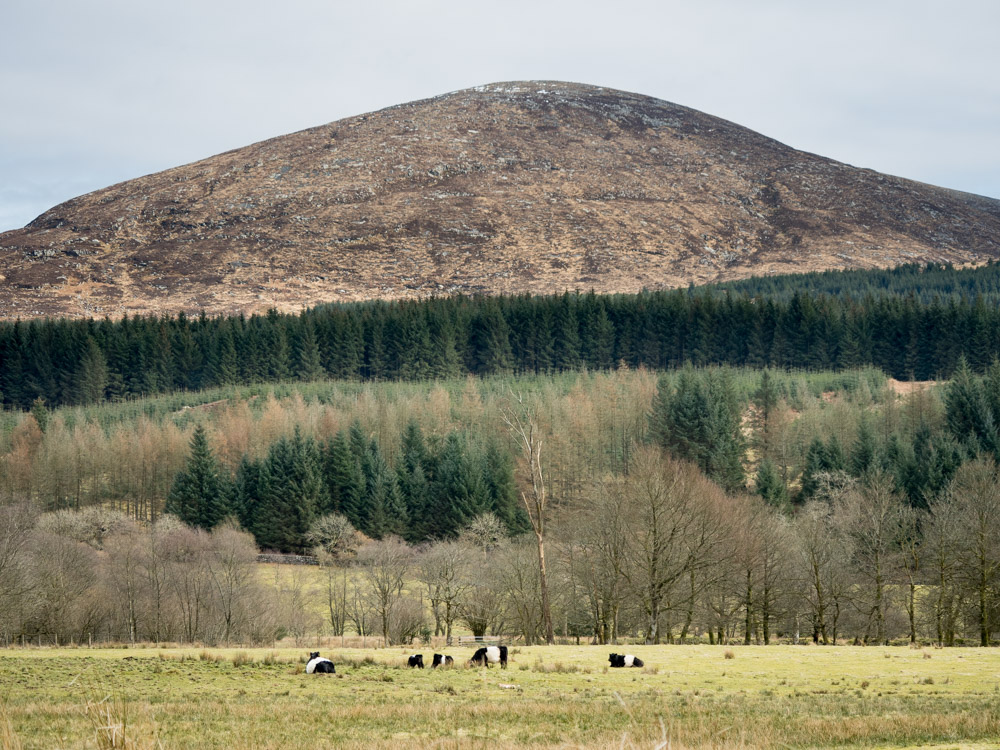
Black Loop is a picturesque freshwater marsh located in the county of Kirkcudbrightshire, Scotland. Spanning across a vast area, it encompasses a combination of a lake, pool, pond, and marshland, making it a diverse and unique habitat for various flora and fauna.

The main feature of the Black Loop is its serene lake, which is surrounded by lush greenery and tall reeds. The lake is home to a variety of aquatic plants, such as water lilies and duckweed, which provide shelter and food for numerous species of waterfowl, including ducks, geese, and swans. The tranquil waters also attract a range of fish, such as perch and pike, making it a popular spot for anglers.

Adjacent to the lake is a smaller pool, which is shallower and characterized by its calm and reflective surface. This pool serves as a breeding ground for amphibians, including frogs and newts, which can often be spotted during the spring and summer months.

Surrounding the lake and pool is a pond, which is teeming with life. It supports a wide variety of aquatic plants, such as cattails and water forget-me-nots, providing a rich habitat for insects, amphibians, and small fish. This pond acts as a vital water source and breeding ground for dragonflies, damselflies, and water beetles.

The Black Loop also features a freshwater marsh, which is a wetland area characterized by its waterlogged soil and diverse vegetation. This marshland supports a unique ecosystem, attracting a wide range of bird species, including herons, moorhens, and lapwings. The marsh is also home to various plants, such as reed canary grass and marsh marigold, which thrive in the wet conditions.

Overall, Black Loop in Kirkcudbrightshire offers a harmonious blend of water bodies, marshland, and vibrant plant life, making it an idyllic destination for nature enthusiasts and a

If you have any feedback on the listing, please let us know in the comments section below.
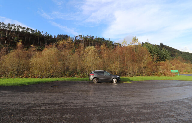
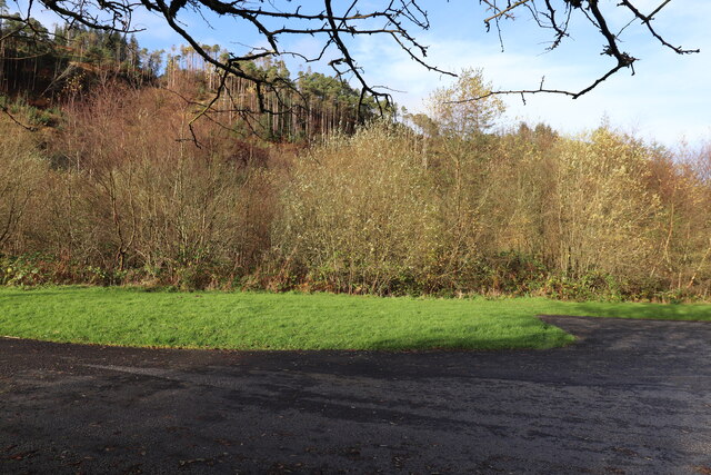
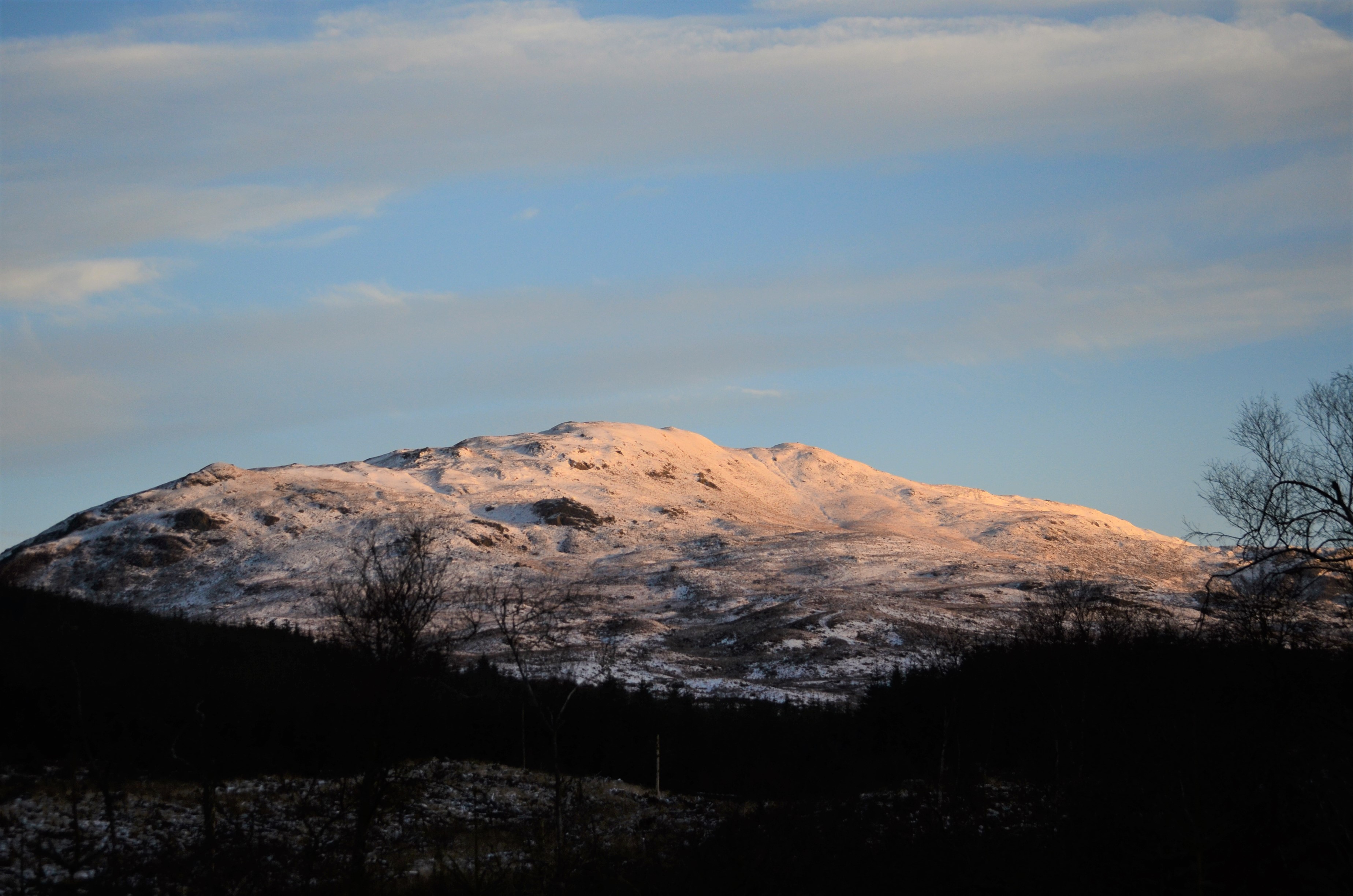
Black Loop Images

Images are sourced within 2km of 55.018354/-4.3561575 or Grid Reference NX4971. Thanks to Geograph Open Source API. All images are credited.

Hill rising beyond Tonderghie Burn The burn flows where the road bends sharply to the right. Prominent though it appears, the hill has little identity of its own being just a steep rise climbing to undulating ground mainly covered with coniferous trees.
Hill rising beyond Tonderghie Burn
The burn flows where the road bends sharply to the right. Prominent though it appears, the hill has little identity of its own being just a steep rise climbing to undulating ground mainly covered with coniferous trees.
Path from Talnotry Car Park Just off the A712.
Path from Talnotry Car Park
Just off the A712.
Murray's Monument Viewed from the Talnotry car park next to the A712.
Murray's Monument
Viewed from the Talnotry car park next to the A712.
The A712 (Queen's Way) Going towards Newton Stewart from the junction with Talnotry car park.
The A712 (Queen's Way)
Going towards Newton Stewart from the junction with Talnotry car park.
The A712 (Queen's Way) Going towards New Galloway, viewed from the junction at Talnotry car park.
The A712 (Queen's Way)
Going towards New Galloway, viewed from the junction at Talnotry car park.
Entrance to Talnotry Car Park Small car park off the A712 (The Queen's Way).
Entrance to Talnotry Car Park
Small car park off the A712 (The Queen's Way).
Murray's Monument Zoomed in from Talnotry car park just off the A712.
Murray's Monument
Zoomed in from Talnotry car park just off the A712.
Exit from Lay-by at Glen of the Bar Onto the A712, go left for Newton Stewart.
Exit from Lay-by at Glen of the Bar
Onto the A712, go left for Newton Stewart.
Lay-by at Glen of the Bar Looking towards the A712 New Galloway road.
Lay-by at Glen of the Bar
Looking towards the A712 New Galloway road.
Autumn Colours, Glen of the Bar In lay-by just off the A712.
Autumn Colours, Glen of the Bar
In lay-by just off the A712.
Path to Viewpoint, Glen of the Bar Viewpoint closed at this time Sunday 6th November see viewpoint when open <a href="https://www.geograph.org.uk/photo/6187311">NX4770 : Viewing Platform, Glen of the Bar</a>.
Path to Viewpoint, Glen of the Bar
Viewpoint closed at this time Sunday 6th November see viewpoint when open NX4770 : Viewing Platform, Glen of the Bar.
No Entry at Glen of the Bar Viewpoint closed at this time on Sunday 6th of November with plenty of warning notices. See viewpoint when open <a href="https://www.geograph.org.uk/photo/6187311">NX4770 : Viewing Platform, Glen of the Bar</a>.
No Entry at Glen of the Bar
Viewpoint closed at this time on Sunday 6th of November with plenty of warning notices. See viewpoint when open NX4770 : Viewing Platform, Glen of the Bar.
Entrance to Viewpoint from Lay-by At the Glen of the Bar, closed at this time.
Entrance to Viewpoint from Lay-by
At the Glen of the Bar, closed at this time.
Glen of the Bar Next to the A712. Viewpoint closed to-day Sunday 6th November.
Glen of the Bar
Next to the A712. Viewpoint closed to-day Sunday 6th November.
The A712 to New Galloway Passing the Glen of the Bar viewpoint and lay-by.
The A712 to New Galloway
Passing the Glen of the Bar viewpoint and lay-by.
Lay-by, Glen of the Bar Just off the A712.
Lay-by, Glen of the Bar
Just off the A712.
Viewing Platform, Glen of the Bar Viewed from the lay-by as no access to the platform.
Viewing Platform, Glen of the Bar
Viewed from the lay-by as no access to the platform.
Autumn at Glen of the Bar In the lay-by just off the A712.
Autumn at Glen of the Bar
In the lay-by just off the A712.
Show me another place!

Black Loop is located at Grid Ref: NX4971 (Lat: 55.018354, Lng: -4.3561575)

Unitary Authority: Dumfries and Galloway

Police Authority: Dumfries and Galloway

What 3 Words

///baker.comic.wiping. Near Newton Stewart, Dumfries & Galloway

Related Wikis

Talnotrie Hoard

The Talnotrie Hoard is a 9th-century mixed hoard of jewellery, coinage, metal-working objects and raw materials found in Talnotrie, Scotland, in 1912....

Millfore

Millfore is a hill in the Minnigaff Hills, a sub-range of the Galloway Hills range, part of the Southern Uplands of Scotland. It lies northeast of Newton...

Hespies Linn

Hespies Linn is a waterfall of Scotland. == See also == Waterfalls of Scotland == References ==

Cairnsmore of Fleet

Cairnsmore of Fleet is an isolated mountain in the Southern Uplands of Scotland. The mountain forms an unafforested granite massif, whose highest point...

Clatteringshaws Loch

Clatteringshaws Loch is a freshwater reservoir in the historical county of The Stewartry of Kirkcudbright in Dumfries and Galloway, Scotland. It was created...

Lamachan Hill

Lamachan Hill is a hill in the Minnigaff Hills, a sub-range of the Galloway Hills range, part of the Southern Uplands of Scotland. It is the highest hill...

Kirroughtree

Kirroughtree Forest is located near Newton Stewart in Dumfries and Galloway, southwest Scotland and overlooks the Irish Sea. It is managed by Forestry...

Kirroughtree House

Kirroughtree House is the heritage-listed mansion house (Category B listing.) of the Kirroughtree estate. It occupies a prominent position 1 mile (1.6...

Nearby Amenities

Located within 500m of 55.018354,-4.3561575
Information: board
Source: survey
Tourism: information
Lat/Long: 55.019883/-4.3622377
Parking
Lat/Long: 55.0199171/-4.3621102
Buck Loup
Waterway: waterfall
Lat/Long: 55.020653/-4.3626356
Fixme: path continues from this point
Lat/Long: 55.0207195/-4.3617256
The data included in this document is from www.openstreetmap.org. The data is made available under ODbL.

Have you been to Black Loop?

Leave your review of Black Loop below (or comments, questions and feedback).