Chapel Mere

Lake, Pool, Pond, Freshwater Marsh in Glamorgan

Wales

Chapel Mere

Sunset over Scurlage Taken looking west-southwest towards Port Eynon from outside The Countryman pub, the sign of which is silhouetted on the left of the image.
Sunset over Scurlage Credit: Robert Lamb

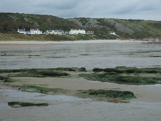
Chapel Mere, located in Glamorgan, is an enchanting freshwater marsh encompassing a lake, pool, pond, and abundant flora and fauna. Nestled in the heart of the picturesque Glamorgan countryside, this natural wetland is a haven for wildlife enthusiasts and nature lovers alike.

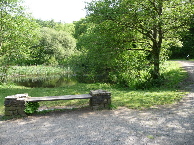
The centerpiece of Chapel Mere is the lake, a shimmering body of water that spans a considerable area. Its crystalline waters are teeming with life, hosting a diverse range of aquatic plants and animals. The lake serves as a vital habitat for numerous species, including various fish species, amphibians, and waterfowl.

Adjacent to the lake, a pool and pond offer additional aquatic features within the wetland. These smaller bodies of water provide distinct ecological niches, fostering the growth of unique flora and attracting a myriad of wildlife. Visitors can observe an array of water plants and invertebrates that thrive in these habitats, further enhancing the richness of Chapel Mere's biodiversity.

Surrounding the water features are sprawling expanses of lush vegetation, including reeds, sedges, and grasses. The freshwater marsh supports a vibrant ecosystem, providing essential breeding grounds and foraging areas for numerous bird species, such as herons, ducks, and warblers. The marshland also attracts a variety of insects, butterflies, and dragonflies, adding to the area's natural allure.

Chapel Mere offers a tranquil and idyllic setting for visitors to immerse themselves in the beauty of nature. Whether it be birdwatching, photography, or simply enjoying a peaceful stroll, this wetland sanctuary provides a remarkable opportunity to connect with the natural world and appreciate the wonders of Glamorgan's landscape.

If you have any feedback on the listing, please let us know in the comments section below.

Chapel Mere Images

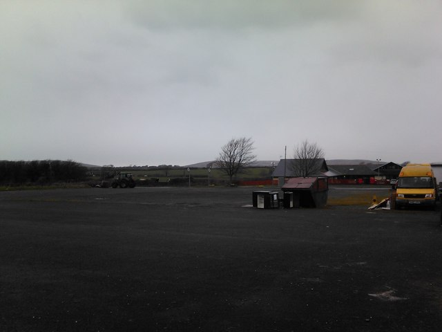
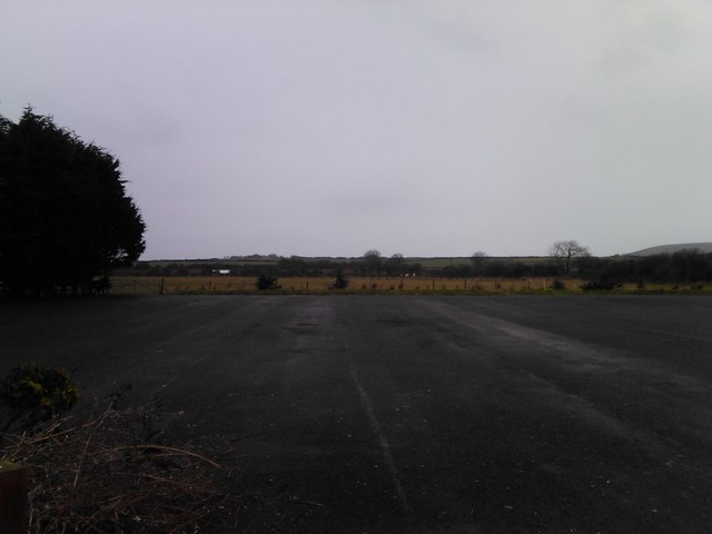
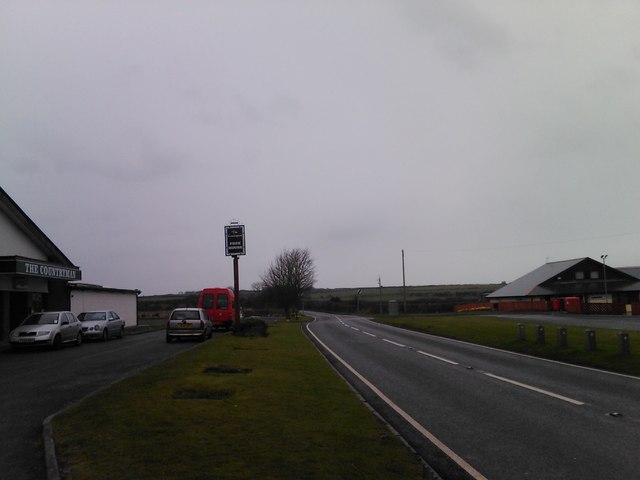
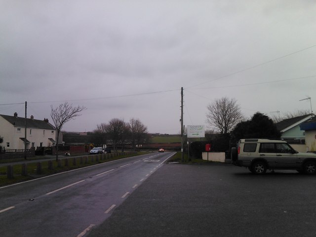
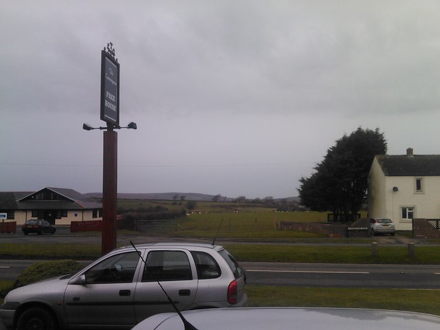
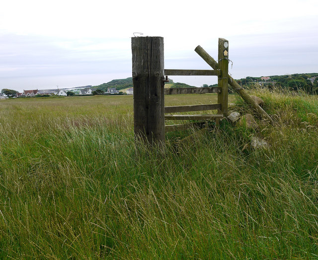
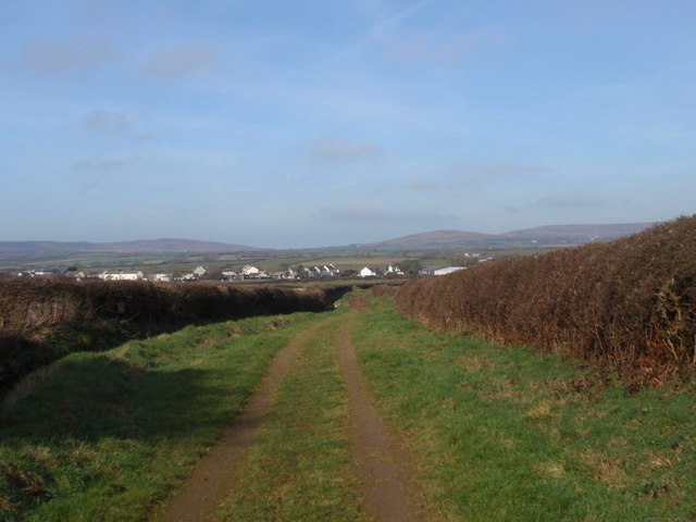
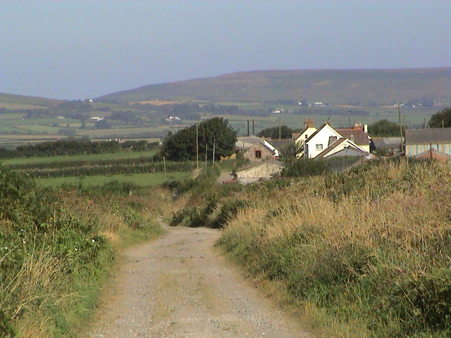
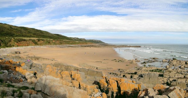
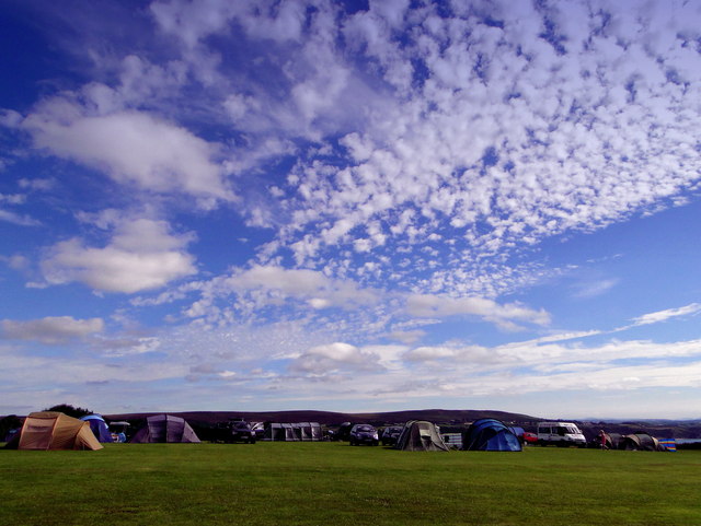
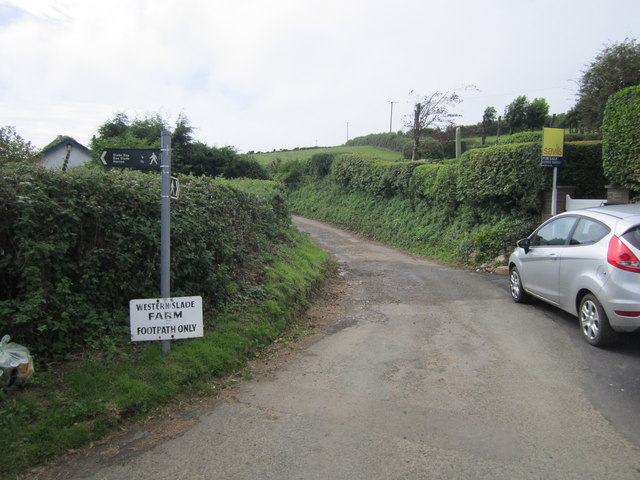
Images are sourced within 2km of 51.559848/-4.2023043 or Grid Reference SS4786. Thanks to Geograph Open Source API. All images are credited.

Sunset over Scurlage Taken looking west-southwest towards Port Eynon from outside The Countryman pub, the sign of which is silhouetted on the left of the image.
Sunset over Scurlage
Taken looking west-southwest towards Port Eynon from outside The Countryman pub, the sign of which is silhouetted on the left of the image.
Sunset over Scurlage #2 Taken looking west-southwest from the Gower Holiday Village. The silhouetted building to the right is the rear of The Countryman pub.
Sunset over Scurlage #2
Taken looking west-southwest from the Gower Holiday Village. The silhouetted building to the right is the rear of The Countryman pub.
View of the hills from Gower Holiday Village Looking northwest.
View of the hills from Gower Holiday Village
Looking northwest.
View across the fields from Gower Holiday Village Looking west.
View across the fields from Gower Holiday Village
Looking west.
Looking towards Port Eynon Taken outside The Countryman pub looking west-southwest.
Looking towards Port Eynon
Taken outside The Countryman pub looking west-southwest.
Looking east-northeast along Monksland Road From outside the Gower Holiday Village.
Looking east-northeast along Monksland Road
From outside the Gower Holiday Village.
View of the hills from outside the Countryman pub Looking north-northwest.
View of the hills from outside the Countryman pub
Looking north-northwest.
Bench beside a pond in Mill Wood A quiet and secluded little pond. Originally part of the landscaping of the Penrice estate.
Bench beside a pond in Mill Wood
A quiet and secluded little pond. Originally part of the landscaping of the Penrice estate.
Old stile Above Overton on The Gower. Many more in better condition to go.
Old stile
Above Overton on The Gower. Many more in better condition to go.
Llwybr march Scurlage bridleway Hen heol werdd a arwain o Hangman's Cross at Scurlage. Gellir gweld y pentre hwnnw yn y pellter. Mae'r heol bellach wedi'i hisraddio i lwybr march.

Old green road leading from Hangman's Cross to Scurlage village which one can see in the distance. The road has long been downgraded to a bridleway.
Llwybr march Scurlage bridleway
Hen heol werdd a arwain o Hangman's Cross at Scurlage. Gellir gweld y pentre hwnnw yn y pellter. Mae'r heol bellach wedi'i hisraddio i lwybr march. Old green road leading from Hangman's Cross to Scurlage village which one can see in the distance. The road has long been downgraded to a bridleway.
Port Eynon shops and caravan site
Holiday homes at Port Eynon
Berry, The Gower Approaching Berry on the track and bridleway
Berry, The Gower
Approaching Berry on the track and bridleway
Slade Bay Glorious small sandy bay, accessible only by a rope from the eroded remains of the coastal path. Therefore quiet in the extreme. Perfection.
Slade Bay
Glorious small sandy bay, accessible only by a rope from the eroded remains of the coastal path. Therefore quiet in the extreme. Perfection.
Oxwich Sky, Greenways Camp site Greenways is an excellent site for campers with superb views over Oxwich Bay towards Three Cliffs and Swansea beyond. Memorable family holidays have been spent here under skies like this.
Oxwich Sky, Greenways Camp site
Greenways is an excellent site for campers with superb views over Oxwich Bay towards Three Cliffs and Swansea beyond. Memorable family holidays have been spent here under skies like this.
Footpath Only Track and public footpath to Western Farm.
Footpath Only
Track and public footpath to Western Farm.
Show me another place!

Chapel Mere is located at Grid Ref: SS4786 (Lat: 51.559848, Lng: -4.2023043)

Unitary Authority: Swansea

Police Authority: South Wales

What 3 Words

///nearing.hourglass.muted. Near Rhossili, Swansea

Nearby Locations

Chapel Mere

Related Wikis

South Gower A.F.C.

South Gower F.C. is a football club based in Scurlage in Wales, The club plays in the Ardal Leagues South West, which is the third tier of the Welsh football...

Horton and Port Eynon Lifeboat Station

Horton and Port Eynon Lifeboat Station (based in Horton, Swansea, Wales) opened in 1884 and was originally based in Port Eynon.The current station in Horton...

Horton Beach

Horton Beach is located in Port Eynon Bay on the south coast of the Gower Peninsula in Wales. It is reached from the nearby village of Horton via a steep...

Penrice (community)

Penrice is a village and community in Swansea county, Wales on the Gower peninsula. It had a population of 451 as of the 2011 UK census and includes the...

Nearby Amenities

Located within 500m of 51.559848,-4.2023043
The data included in this document is from www.openstreetmap.org. The data is made available under ODbL.

Have you been to Chapel Mere?

Leave your review of Chapel Mere below (or comments, questions and feedback).