Nile's Pond
Lake, Pool, Pond, Freshwater Marsh in Kirkcudbrightshire
Scotland
Nile's Pond
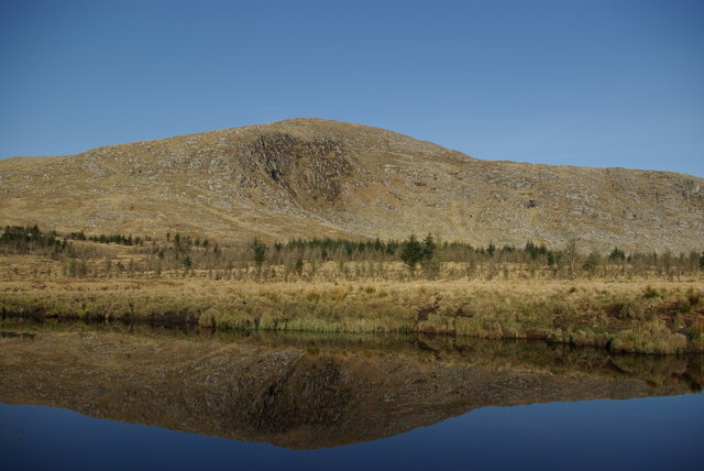
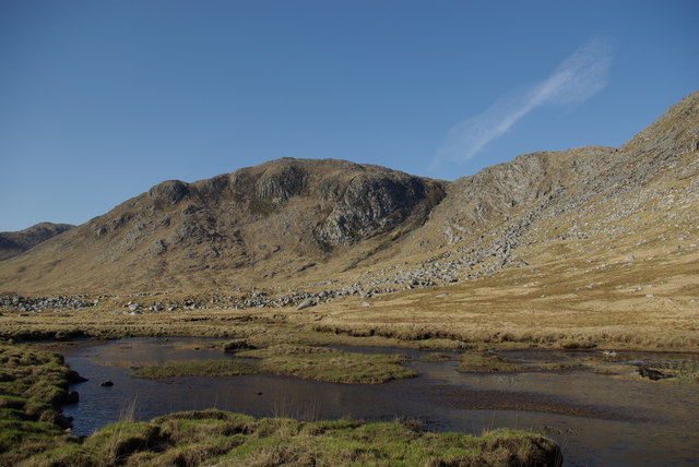
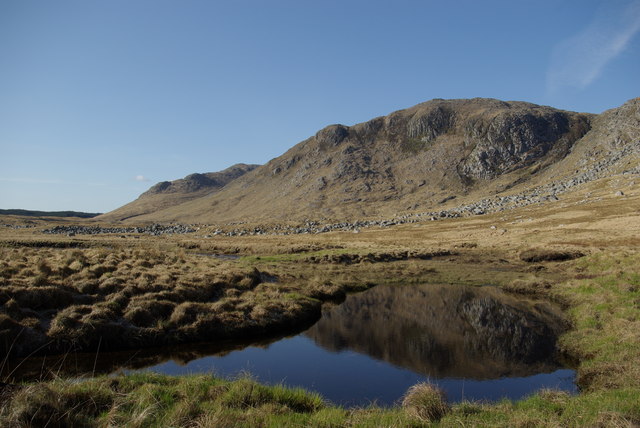
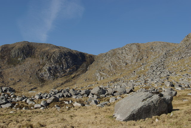
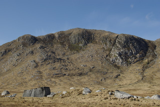
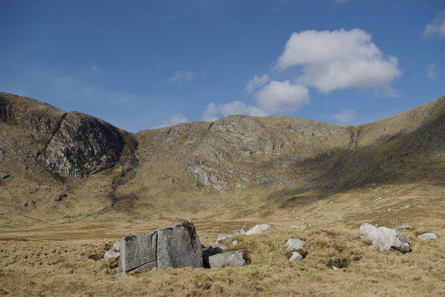
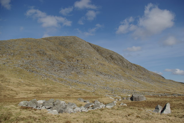
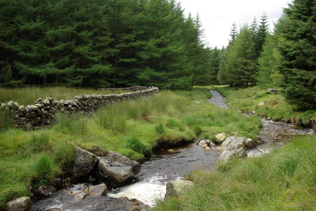
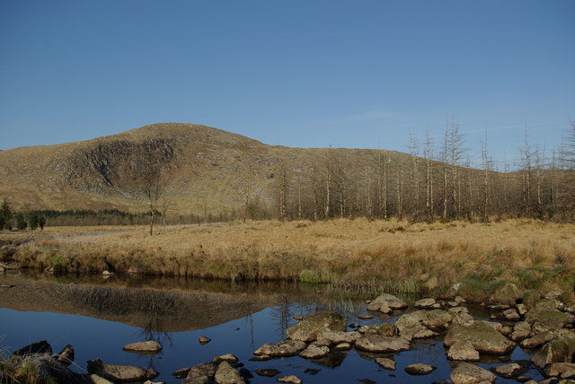
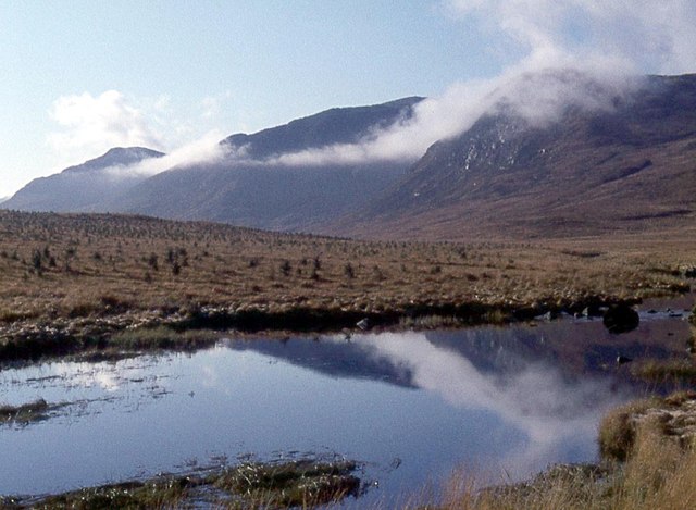
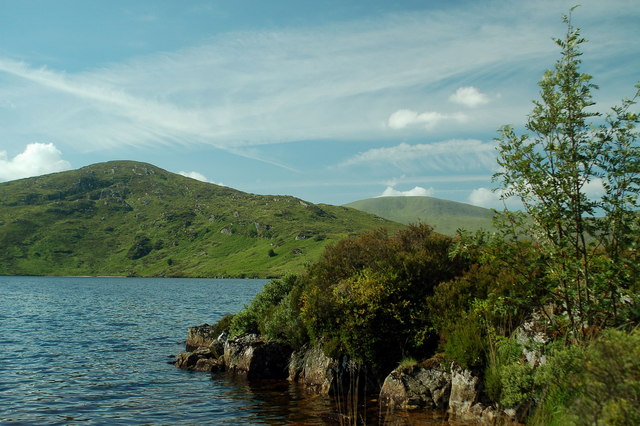
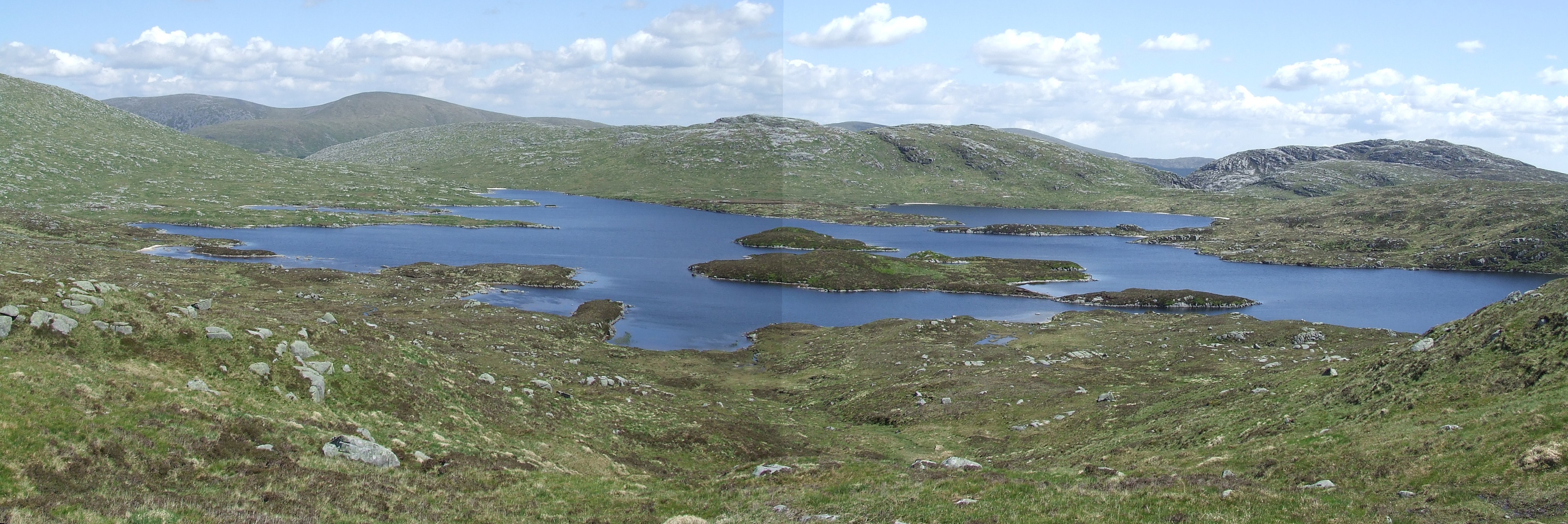
Nile's Pond, located in Kirkcudbrightshire, is a picturesque freshwater marsh that serves as a vital ecosystem for various species of flora and fauna. Covering an area of approximately 10 acres, this serene pond is surrounded by lush vegetation and offers a tranquil escape for nature enthusiasts.
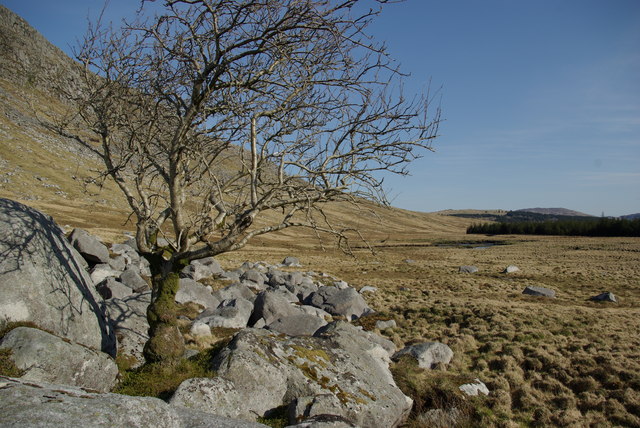
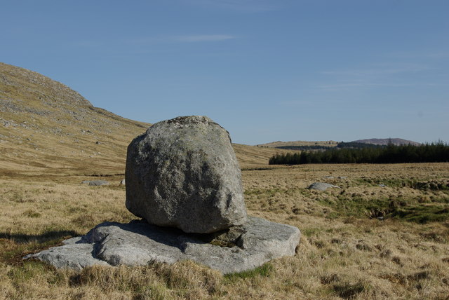
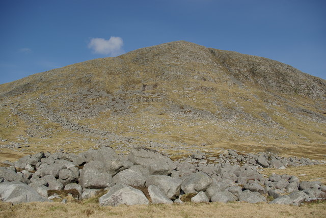
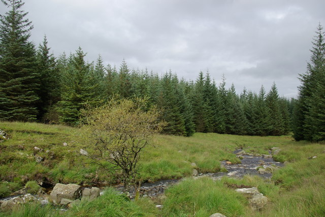
The pond is fed by several small streams that originate from nearby hills, ensuring a constant flow of fresh water. Due to this continuous water supply, Nile's Pond maintains a relatively stable water level throughout the year. The water is clear and supports a diverse range of aquatic plants, including lily pads, reeds, and various submerged vegetation.
The pond is home to an array of wildlife, making it a popular spot for birdwatching and nature photography. Numerous species of waterfowl, such as ducks, geese, and swans, can be spotted gracefully gliding across the water's surface. The surrounding vegetation provides shelter and nesting sites for various bird species, including herons, kingfishers, and warblers.
Additionally, Nile's Pond supports a rich aquatic life. Carp, perch, and roach are among the fish species that thrive in the pond's nutrient-rich waters. Frogs, toads, and newts can also be found in and around the pond.
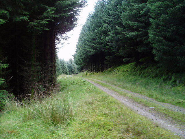
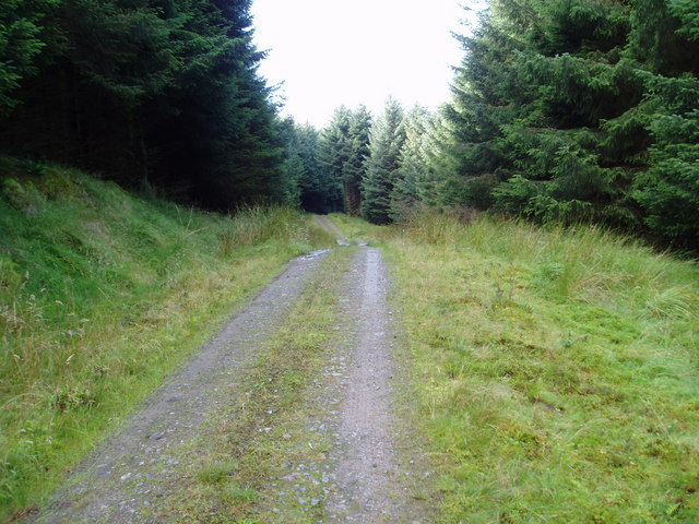
Visitors to Nile's Pond can enjoy a peaceful stroll along the well-maintained footpath that encircles the pond. The scenic views and abundance of wildlife make it an ideal destination for nature lovers seeking a tranquil retreat in the heart of Kirkcudbrightshire.
If you have any feedback on the listing, please let us know in the comments section below.
Nile's Pond Images
Images are sourced within 2km of 55.17625/-4.3975711 or Grid Reference NX4789. Thanks to Geograph Open Source API. All images are credited.

Nile's Pond is located at Grid Ref: NX4789 (Lat: 55.17625, Lng: -4.3975711)
Unitary Authority: Dumfries and Galloway
Police Authority: Dumfries and Galloway
What 3 Words
///jokes.beauty.dollar. Near Bellsbank, East Ayrshire
Nearby Locations
Related Wikis

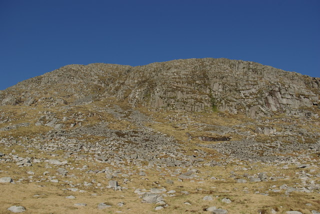
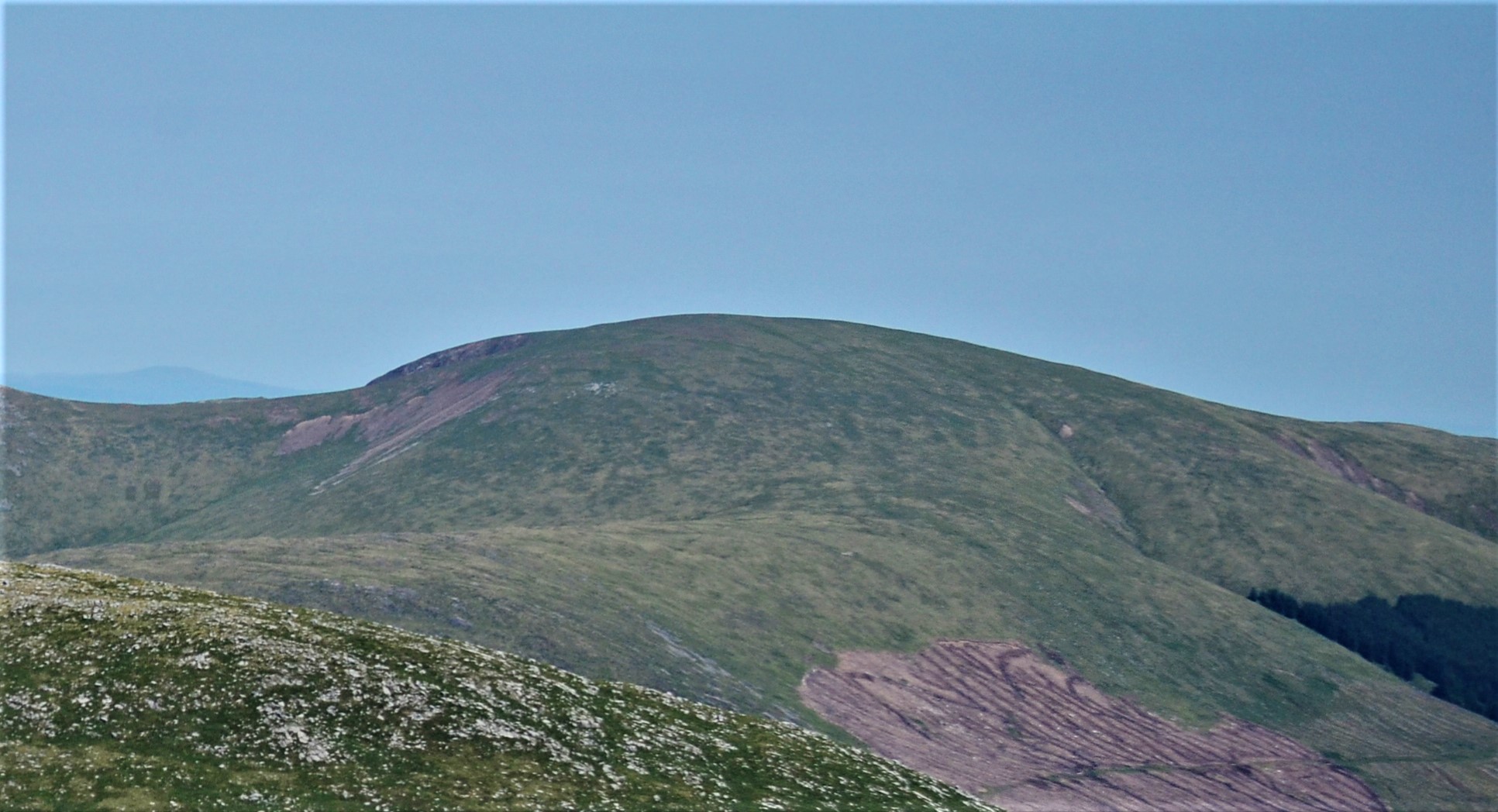
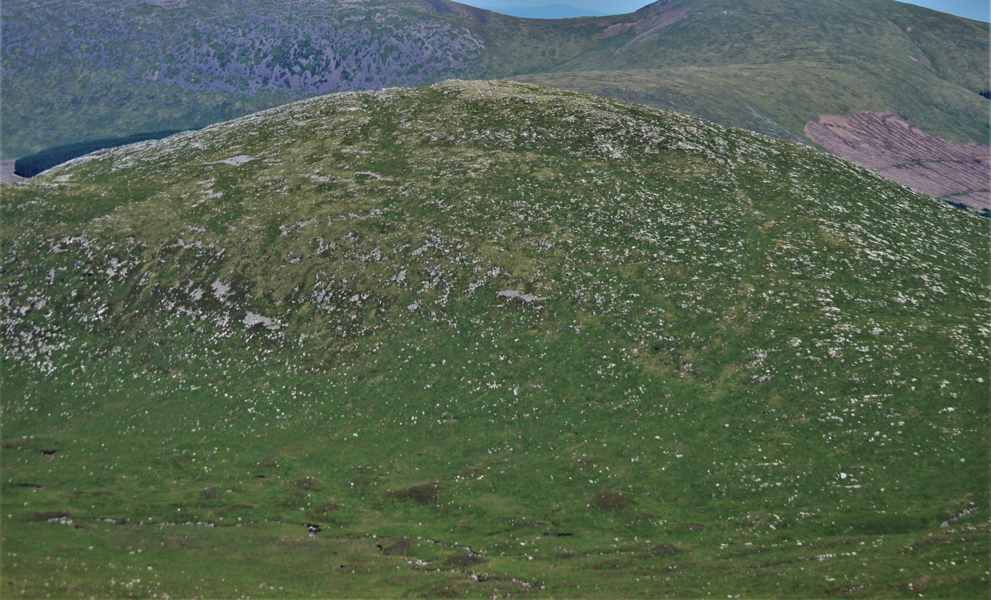
Rhinns of Kells
The Rhinns of Kells are a range of hills in the Galloway Hills range, part of the Southern Uplands of Scotland. The most easterly of three parallel ridges...
Corserine
Corserine is a hill in the Rhinns of Kells, a sub-range of the Galloway Hills range, part of the Southern Uplands of Scotland. The highest point of the...
Mullwharchar
Mullwharchar is a hill in the Dungeon Hills, a sub-range of the Galloway Hills range, part of the Southern Uplands of Scotland. Mullwarchar is situated...
Loch Macaterick
Loch Macaterick is a loch in East Ayrshire, Scotland within Galloway Forest Park and Merrick Kells SSSI. The loch is situated to the north of Macaterick...
Loch Enoch
Loch Enoch is a multi-basin freshwater loch in Galloway, to the east of Merrick and south of Mullwharchar. The loch is situated in a granite basin and...

Loch Doon Castle
Loch Doon Castle was a castle that was located on an island within Loch Doon, Scotland. The original site and the relocated remains are designated as scheduled...

Craigmalloch
Craigmalloch is a small settlement in East Ayrshire, Scotland. == External links == Scotland's places Royal Commission on Ancient and Historical Monuments...
Kirriereoch Hill
Kirriereoch Hill is a hill in the Range of the Awful Hand, a sub-range of the Galloway Hills range, part of the Southern Uplands of Scotland. It lies on...
Have you been to Nile's Pond?
Leave your review of Nile's Pond below (or comments, questions and feedback).