Boyach Loch

Lake, Pool, Pond, Freshwater Marsh in Wigtownshire

Scotland

Boyach Loch

Isle of Whithorn Harbour Viewed from the B7004.
Isle of Whithorn Harbour Credit: Billy McCrorie

The requested URL returned error: 429 Too Many Requests

If you have any feedback on the listing, please let us know in the comments section below.
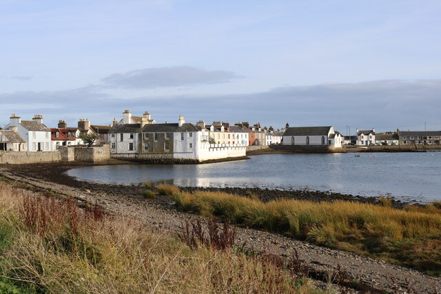
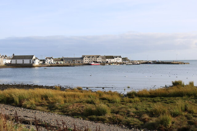
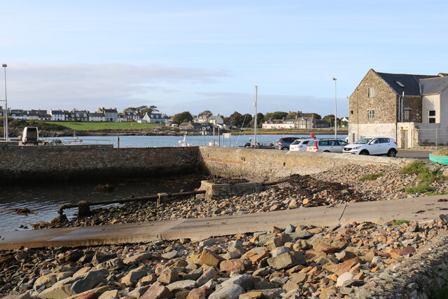
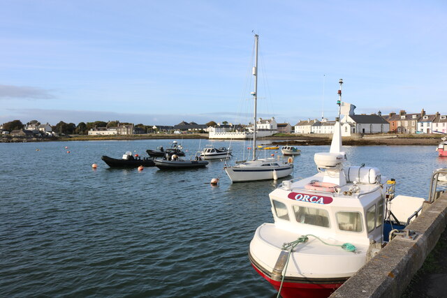
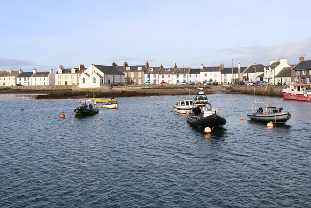
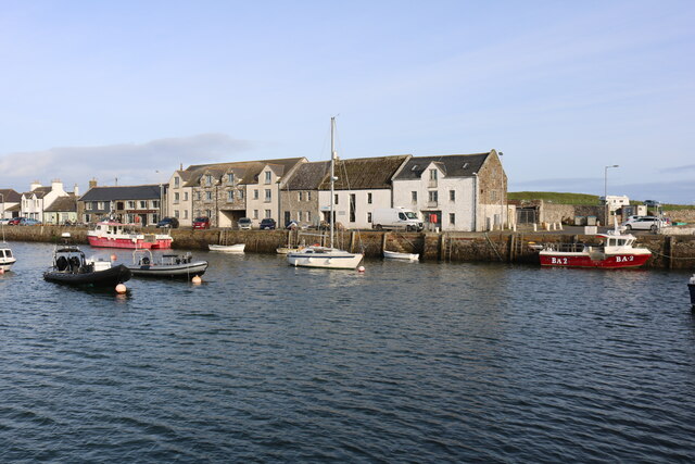
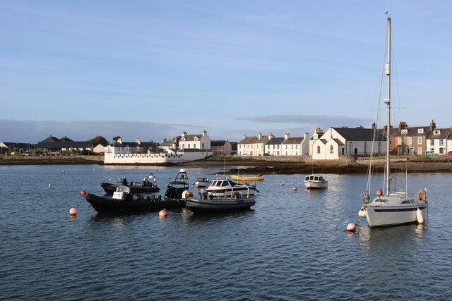
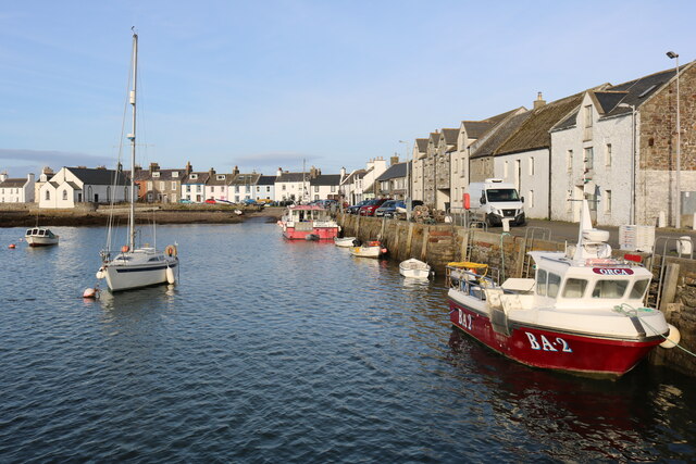
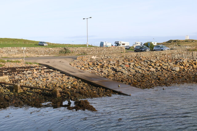
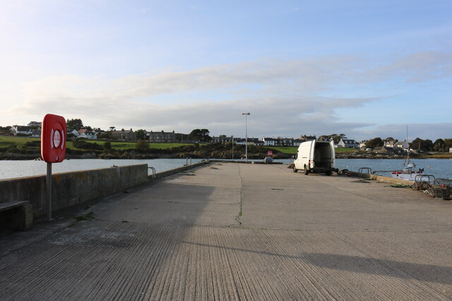
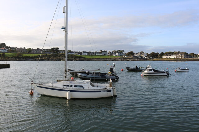
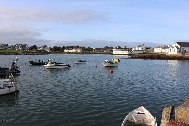
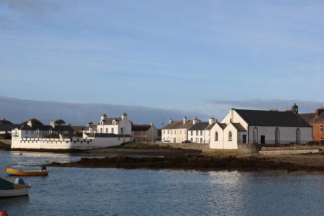
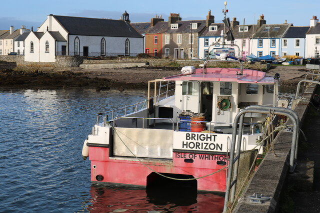
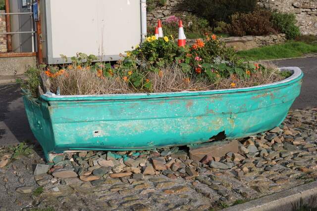
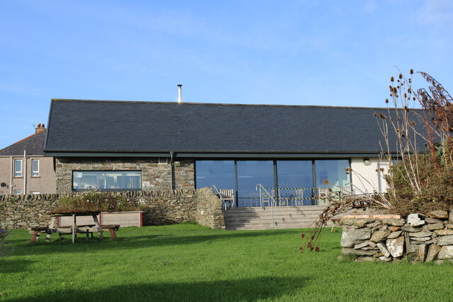
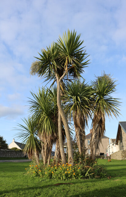
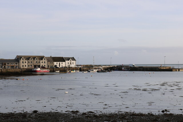
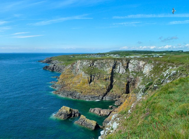
Boyach Loch Images

Images are sourced within 2km of 54.695666/-4.3797941 or Grid Reference NX4636. Thanks to Geograph Open Source API. All images are credited.

Isle of Whithorn Harbour Viewed from the B7004.
Isle of Whithorn Harbour
Viewed from the B7004.
Isle of Whithorn Harbour As seen from the B7004.
Isle of Whithorn Harbour
As seen from the B7004.
Slipway, Isle of Whithorn
"Orca" Isle of Whithorn On a lovely day in October.
"Orca" Isle of Whithorn
On a lovely day in October.
Harbour, Isle of Whithorn
Harbour, Isle of Whithorn On a lovely day in October.
Harbour, Isle of Whithorn
On a lovely day in October.
Isle of Whithorn Harbour
Harbour, Isle of Whithorn On a nice day in October.
Harbour, Isle of Whithorn
On a nice day in October.
Slipway, Isle of Whithorn
Pier, Isle of Whithorn
"Moody" Isle of Whithorn
Harbour at Isle of Whithorn
White Buildings, Isle of Whithorn The one on the right is the Church of Scotland.
White Buildings, Isle of Whithorn
The one on the right is the Church of Scotland.
"Bright Horizon" Isle of Whithorn White building on the left is the Church of Scotland.
"Bright Horizon" Isle of Whithorn
White building on the left is the Church of Scotland.
Flower Planter, Isle of Whithorn
St. Ninian's Tea Room, Isle of Whithorn Viewed from Main Street.
St. Ninian's Tea Room, Isle of Whithorn
Viewed from Main Street.
Tropical Isle of Whithorn Only wish, viewed from Main Street on a calm cool day in October.
Tropical Isle of Whithorn
Only wish, viewed from Main Street on a calm cool day in October.
Harbour, Isle of Whithorn Viewed from Main Street.
Harbour, Isle of Whithorn
Viewed from Main Street.
Show me another place!

Boyach Loch is located at Grid Ref: NX4636 (Lat: 54.695666, Lng: -4.3797941)

Unitary Authority: Dumfries and Galloway

Police Authority: Dumfries and Galloway

What 3 Words

///clash.surnames.hairspray. Near Whithorn, Dumfries & Galloway

Nearby Locations

Boyach Loch Leakin Hill

Related Wikis

Isle of Whithorn

Isle of Whithorn (Port Rosnait in Gaelic) is one of the most southerly villages and seaports in Scotland, lying on the coast north east of Burrow Head...

Burrow Head

Burrow Head is a headland located approximately two miles south-west of Isle of Whithorn, Wigtownshire, Scotland, and is the second southernmost point...

St Ninian's Cave

St Ninian's Cave is a cave in Physgill Glen, Whithorn, Dumfries and Galloway, Scotland. It features in the climax of the acclaimed 1973 horror film The...

Candida Casa

Candida Casa was the name given to the church established by St Ninian in Whithorn, Galloway, southern Scotland, in the mid fifth century AD. The name...

Nearby Amenities

Located within 500m of 54.695666,-4.3797941
Power: pole
Lat/Long: 54.6995011/-4.3768854
Power: pole
Lat/Long: 54.6988565/-4.377612
Power: pole
Lat/Long: 54.6982146/-4.3783199
Power: pole
Lat/Long: 54.6974906/-4.379142
Power: pole
Lat/Long: 54.6968298/-4.3798685
Power: pole
Lat/Long: 54.6962094/-4.38058
Power: pole
Lat/Long: 54.6955499/-4.3813147
Power: pole
Lat/Long: 54.6947841/-4.3817222
Power: pole
Lat/Long: 54.6940856/-4.3821088
Power: pole
Lat/Long: 54.6937155/-4.3828866
Power: pole
Lat/Long: 54.6933279/-4.38369
Power: pole
Lat/Long: 54.6928811/-4.3846424
Power: pole
Lat/Long: 54.6926159/-4.3854552
Power: pole
Lat/Long: 54.6963211/-4.3861817
Power: pole
Lat/Long: 54.6962255/-4.3857509
Power: pole
Lat/Long: 54.6958426/-4.3849277
Power: pole
Lat/Long: 54.6956556/-4.3844701
Power: pole
Lat/Long: 54.6948763/-4.3821402
Power: pole
Lat/Long: 54.6940022/-4.3819574
Power: pole
Lat/Long: 54.6936065/-4.3813054
Power: pole
Lat/Long: 54.6931085/-4.3804693
Power: pole
Lat/Long: 54.6922768/-4.384696
Power: pole
Lat/Long: 54.6972483/-4.378618
Power: pole
Lat/Long: 54.6968379/-4.3777238
Power: pole
Lat/Long: 54.6962888/-4.376571
The data included in this document is from www.openstreetmap.org. The data is made available under ODbL.

Have you been to Boyach Loch?

Leave your review of Boyach Loch below (or comments, questions and feedback).