Black Loch
Lake, Pool, Pond, Freshwater Marsh in Kirkcudbrightshire
Scotland
Black Loch

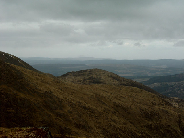
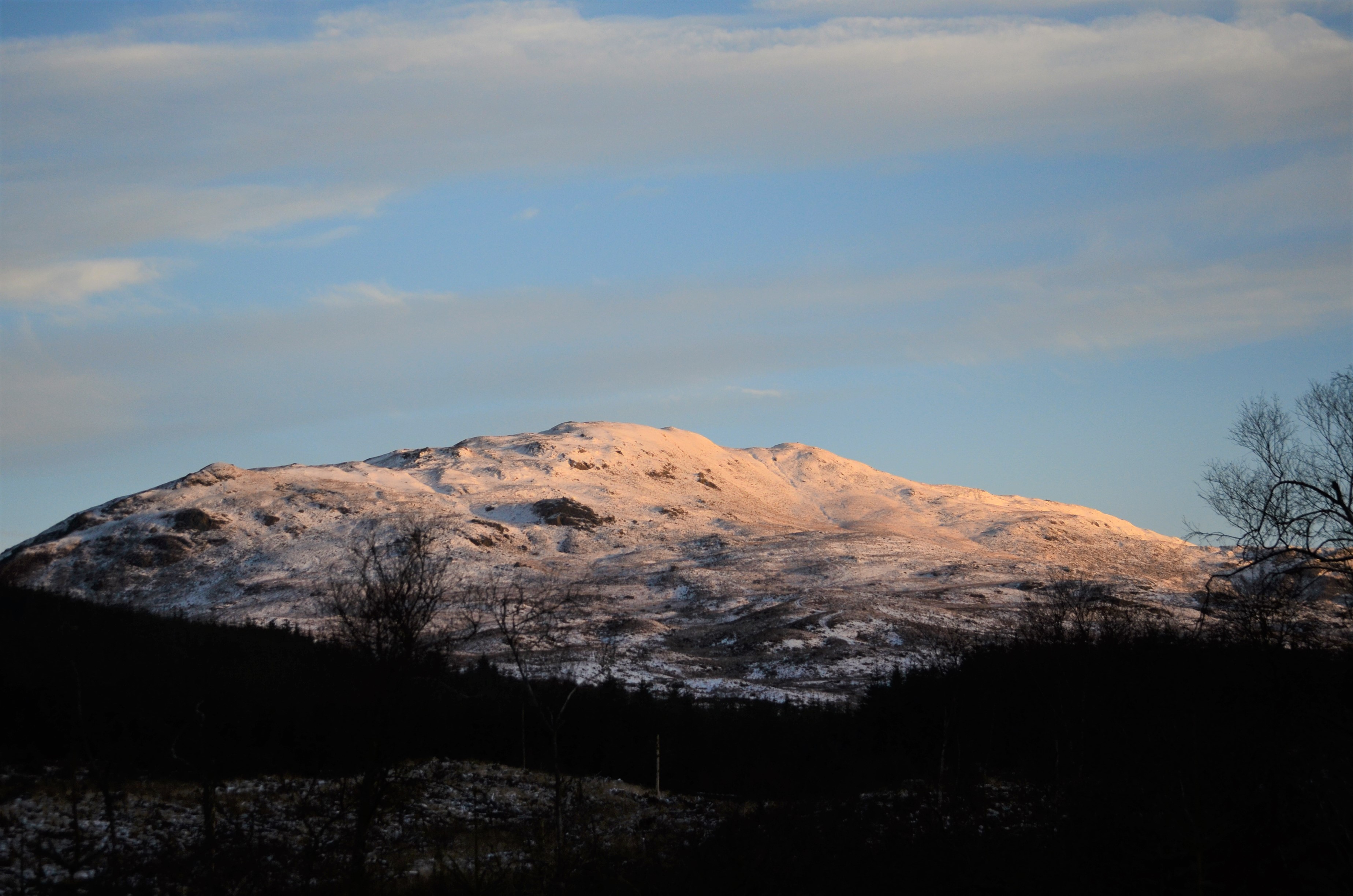
Black Loch is a picturesque freshwater lake located in the county of Kirkcudbrightshire, Scotland. Situated near the village of Corsock, it covers an area of approximately 30 acres and is nestled amidst rolling hills and lush greenery. The loch is surrounded by a diverse range of habitats, including a mix of woodland, marshland, and open fields, providing a haven for various species of plants and wildlife.
The deep, dark waters of Black Loch are renowned for their clarity, making it a popular spot for fishing enthusiasts. The loch is home to a variety of fish species, including brown trout, pike, and perch, offering an excellent opportunity for anglers to cast their lines and enjoy a day of fishing.
The surrounding area of Black Loch is rich in biodiversity, attracting a wide array of bird species. Birdwatchers flock to the loch to catch a glimpse of various waterfowl, such as mallards, tufted ducks, and great crested grebes. Additionally, the surrounding woodland provides a habitat for woodland birds like the great spotted woodpecker and the chiffchaff.
The shores of Black Loch are a haven for nature lovers and outdoor enthusiasts alike. There are several walking trails that wind their way around the loch, offering breathtaking views of the surrounding countryside. Visitors can also explore the nearby freshwater marsh, which is home to a variety of plant species, including water lilies and reeds.
Black Loch is a tranquil and serene destination, perfect for those seeking a peaceful retreat in the heart of nature. Whether it's fishing, birdwatching, or simply enjoying a leisurely stroll, this idyllic loch offers something for everyone to enjoy.
If you have any feedback on the listing, please let us know in the comments section below.
Black Loch Images
Images are sourced within 2km of 55.052265/-4.4091294 or Grid Reference NX4675. Thanks to Geograph Open Source API. All images are credited.


Black Loch is located at Grid Ref: NX4675 (Lat: 55.052265, Lng: -4.4091294)
Unitary Authority: Dumfries and Galloway
Police Authority: Dumfries and Galloway
What 3 Words
///worked.holidays.tangling. Near Newton Stewart, Dumfries & Galloway
Nearby Locations
Related Wikis
Millfore
Millfore is a hill in the Minnigaff Hills, a sub-range of the Galloway Hills range, part of the Southern Uplands of Scotland. It lies northeast of Newton...

Lamachan Hill
Lamachan Hill is a hill in the Minnigaff Hills, a sub-range of the Galloway Hills range, part of the Southern Uplands of Scotland. It is the highest hill...

Hespies Linn
Hespies Linn is a waterfall of Scotland. == See also == Waterfalls of Scotland == References ==

Round Loch of Glenhead
The Round Loch of Glenhead is a small upland single basin loch in Dumfries and Galloway. It is situated within Galloway Forest Park to the west of the...
Have you been to Black Loch?
Leave your review of Black Loch below (or comments, questions and feedback).