Black Loch
Lake, Pool, Pond, Freshwater Marsh in Ayrshire
Scotland
Black Loch
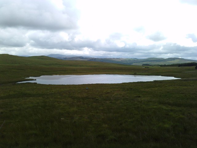
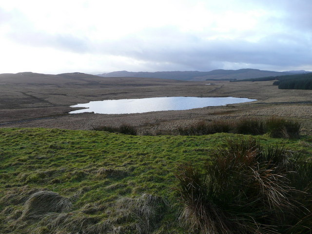
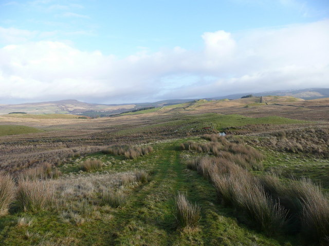
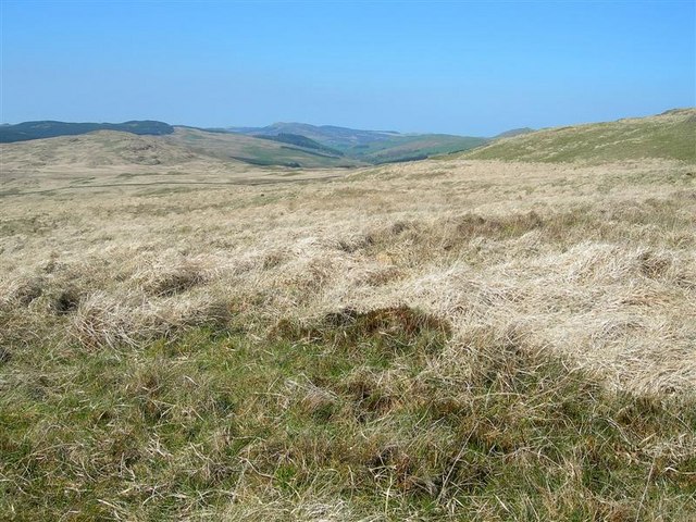
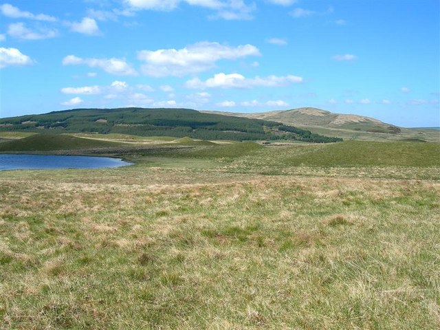
Black Loch is a freshwater loch located in Ayrshire, Scotland. It is situated on the western coast of the country, approximately 5 miles southwest of the town of Kilmarnock. The loch covers an area of approximately 40 acres and is surrounded by picturesque countryside.
The loch is known for its dark, peaty waters, which give it its name. It is believed to have been formed during the last ice age, as a result of glacial activity. The depths of the loch vary, with some areas reaching depths of up to 20 meters.
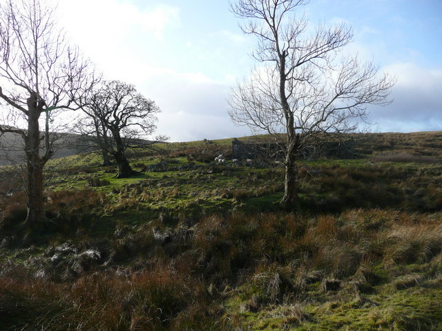
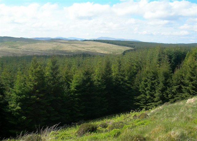
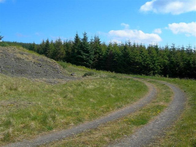
Surrounding the loch is a diverse mix of vegetation, including reed beds, grasslands, and woodlands. This variety of habitats attracts a wide range of bird species, making it a popular spot for birdwatching enthusiasts. Common sightings include ducks, swans, and herons.
Fishing is also a popular activity at Black Loch, with anglers drawn to its reputation for a healthy population of brown and rainbow trout. It is a tranquil location for fishing, offering a peaceful and serene setting for enthusiasts to enjoy their sport.
The loch is easily accessible, with a car park and a small picnic area available for visitors. There are also several walking trails in the surrounding area, providing opportunities for leisurely strolls and exploration of the beautiful Ayrshire countryside.
Overall, Black Loch offers a serene and picturesque environment, ideal for nature lovers, anglers, and those seeking a peaceful escape in the heart of Scotland.
If you have any feedback on the listing, please let us know in the comments section below.
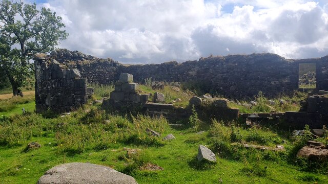
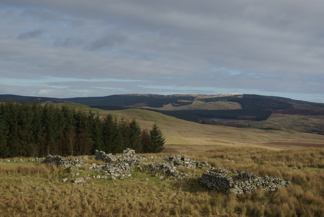
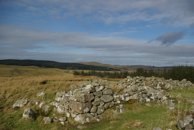
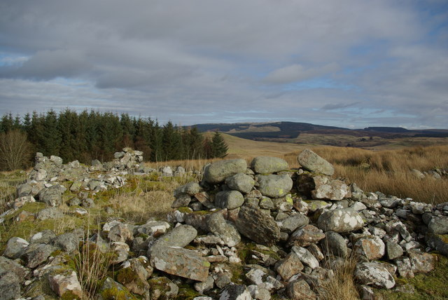
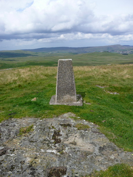
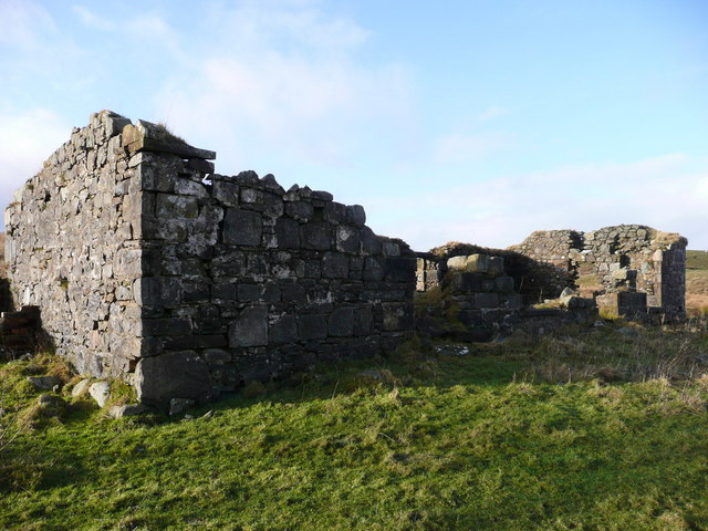
Black Loch Images
Images are sourced within 2km of 55.289702/-4.4496934 or Grid Reference NS4402. Thanks to Geograph Open Source API. All images are credited.


Black Loch is located at Grid Ref: NS4402 (Lat: 55.289702, Lng: -4.4496934)
Unitary Authority: East Ayrshire
Police Authority: Ayrshire
What 3 Words
///graph.screamed.acre. Near Bellsbank, East Ayrshire
Nearby Locations
Related Wikis
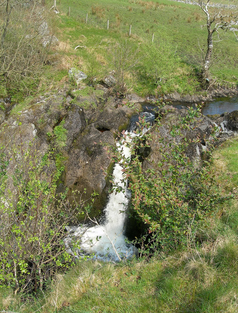
Tairlaw Linn
Tairlaw Linn is a waterfall of Scotland, near Straiton, South Ayrshire. == See also == Waterfalls of Scotland == References ==
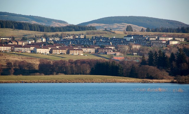
Bellsbank
Bellsbank is a village half a mile away from the market town of Dalmellington in East Ayrshire, Scotland. It is the second-highest place in East Ayrshire...

Drunmore Linn
Drunmore Linn is a waterfall of Scotland, near Straiton, South Ayrshire. == See also == Waterfalls of Scotland == References ==
Dalmellington railway station
Dalmellington railway station served the town of Dalmellington, East Ayrshire, Scotland, from 1856 to 1964 on the Ayr and Dalmellington Railway. ��2�...

Doon Academy
Doon Academy is a secondary school in Dalmellington that caters to the local surrounding areas Dalmellington, Patna, Rankinston and Bellsbank. The current...

Dalmellington
Dalmellington (Scots: Dawmellinton, Scottish Gaelic: Dail M'Fhaolain) is a market town and civil parish in East Ayrshire, Scotland. In 2001 the village...
Loch Brecbowie
Loch Brecbowie is a Scottish loch located in the Ayrshire region, near the town of Girvan.The small, freshwater loch contains four small islands. It is...
Waterside railway station
Waterside railway station served the village of Waterside, East Ayrshire, Scotland, from 1856 to 1964 on the Ayr and Dalmellington Railway. == History... ==
Nearby Amenities
Located within 500m of 55.289702,-4.4496934Have you been to Black Loch?
Leave your review of Black Loch below (or comments, questions and feedback).