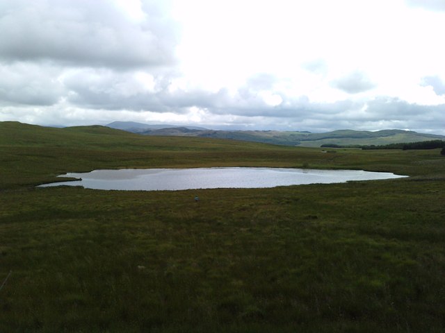
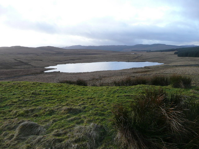
Widow's Loch
Lake, Pool, Pond, Freshwater Marsh in Ayrshire
Scotland
Widow's Loch
The requested URL returned error: 429 Too Many Requests
If you have any feedback on the listing, please let us know in the comments section below.
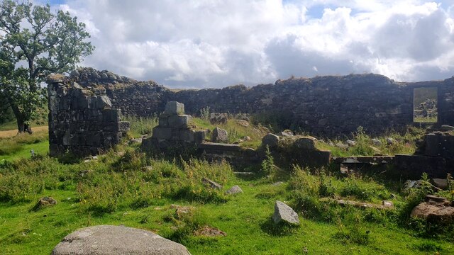
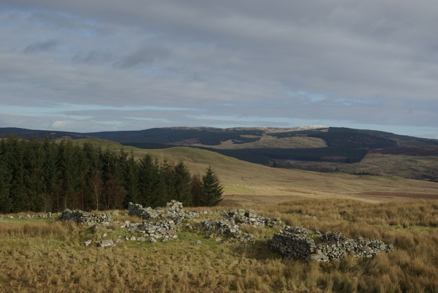
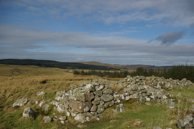
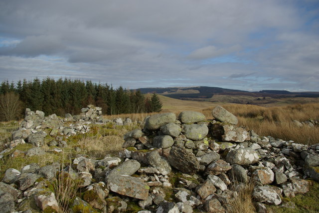
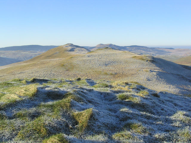
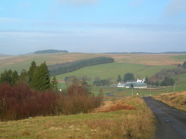
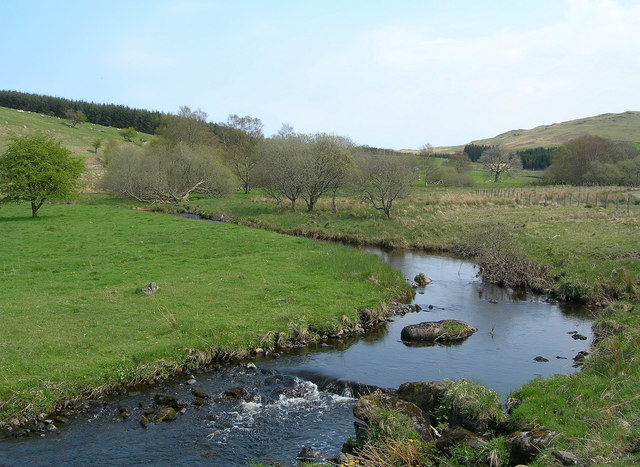
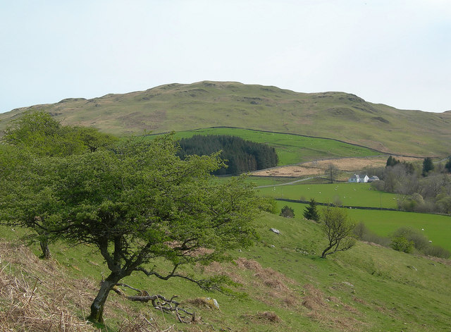
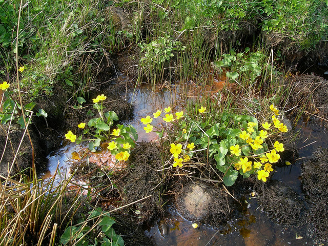
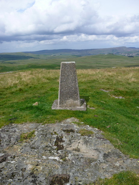
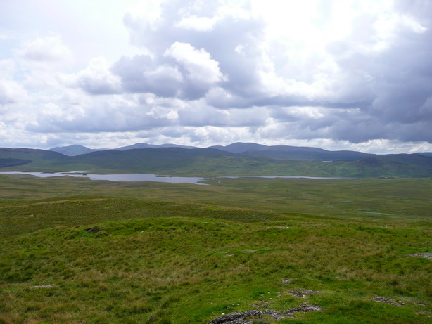
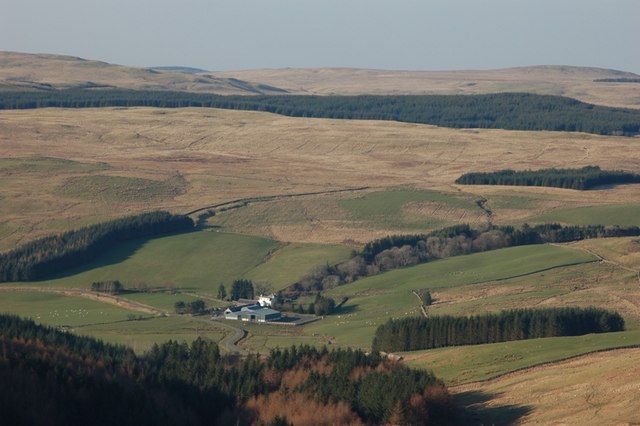
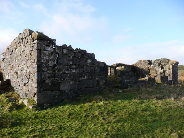
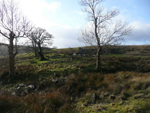
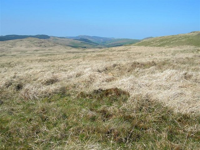
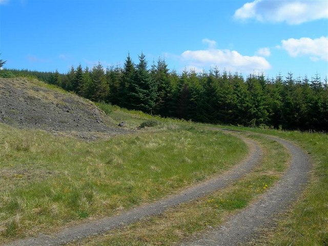
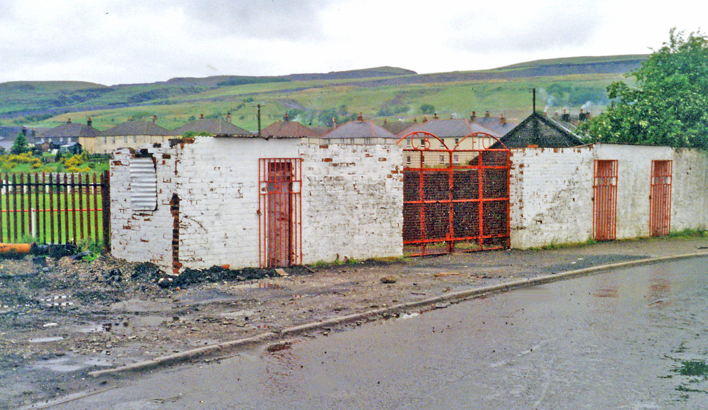
Widow's Loch Images
Images are sourced within 2km of 55.285926/-4.4568629 or Grid Reference NS4401. Thanks to Geograph Open Source API. All images are credited.
Widow's Loch is located at Grid Ref: NS4401 (Lat: 55.285926, Lng: -4.4568629)
Unitary Authority: East Ayrshire
Police Authority: Ayrshire
What 3 Words
///fermented.darts.trucked. Near Bellsbank, East Ayrshire
Nearby Locations
Related Wikis
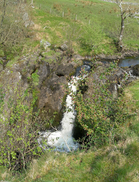
Tairlaw Linn
Tairlaw Linn is a waterfall of Scotland, near Straiton, South Ayrshire. == See also == Waterfalls of Scotland == References ==

Drunmore Linn
Drunmore Linn is a waterfall of Scotland, near Straiton, South Ayrshire. == See also == Waterfalls of Scotland == References ==
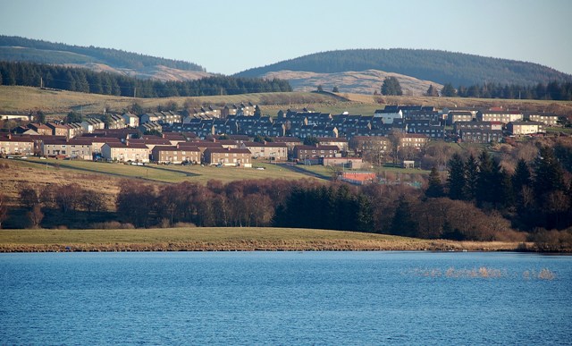
Bellsbank
Bellsbank is a village half a mile away from the market town of Dalmellington in East Ayrshire, Scotland. It is the second-highest place in East Ayrshire...
Dalmellington railway station
Dalmellington railway station served the town of Dalmellington, East Ayrshire, Scotland, from 1856 to 1964 on the Ayr and Dalmellington Railway. ��2�...
Nearby Amenities
Located within 500m of 55.285926,-4.4568629Have you been to Widow's Loch?
Leave your review of Widow's Loch below (or comments, questions and feedback).