Caplaw Dam
Lake, Pool, Pond, Freshwater Marsh in Renfrewshire
Scotland
Caplaw Dam
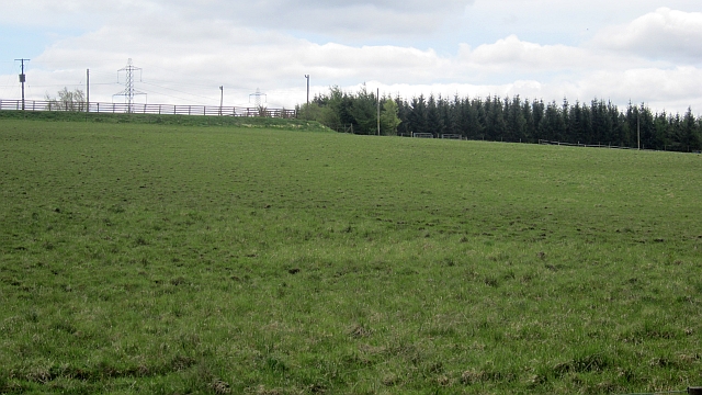
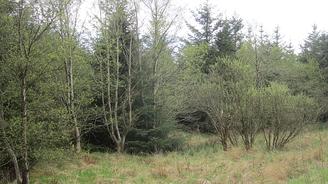
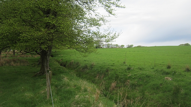
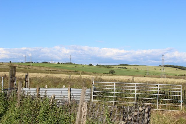
Caplaw Dam is a freshwater marsh located in Renfrewshire, Scotland. It is a man-made water body that was created in the mid-19th century to serve as a reservoir for the nearby town of Johnstone. The dam is situated in a picturesque setting, surrounded by rolling hills and lush greenery.
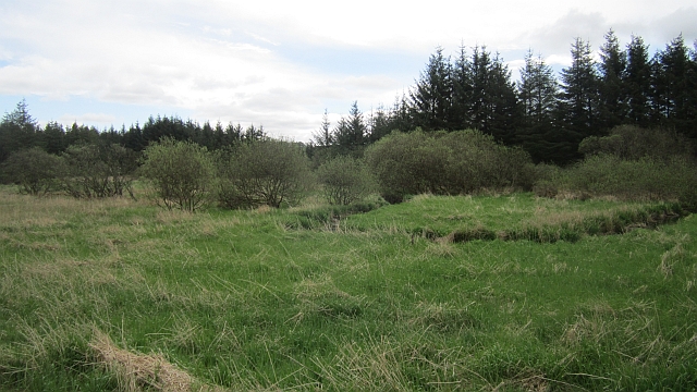
With an area of approximately 10 hectares, Caplaw Dam is a relatively small water body. It is fed by natural springs and rainwater, ensuring a constant supply of fresh water. The dam is quite shallow, with an average depth of around 2-3 meters, and its shores are lined with reeds and other aquatic vegetation.
The ecosystem of Caplaw Dam is rich and diverse. It provides a habitat for a wide range of aquatic plants, including water lilies, bulrushes, and various species of algae. These plants not only add to the aesthetic beauty of the dam but also play a crucial role in maintaining water quality and providing shelter for many aquatic organisms.
The dam is also home to numerous species of fish, including pike, perch, and roach. These fish attract anglers from the surrounding areas who come to enjoy a day of fishing. Additionally, the dam attracts a variety of bird species, such as ducks, swans, and herons, making it a popular spot for birdwatching.
Caplaw Dam is not only a recreational site but also serves as an important water source for the local community. It provides drinking water to the nearby town of Johnstone and supports irrigation for agricultural purposes in the surrounding areas.
If you have any feedback on the listing, please let us know in the comments section below.
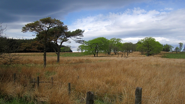
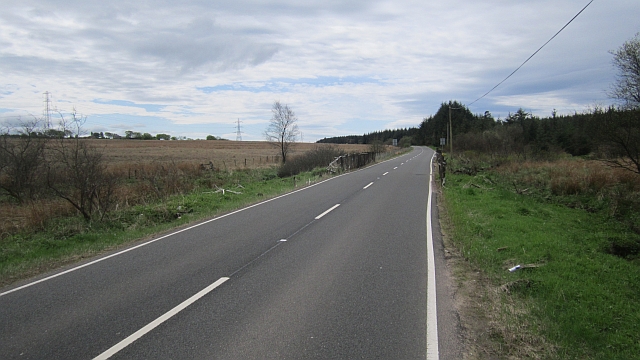
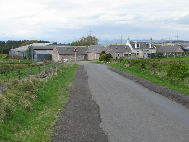
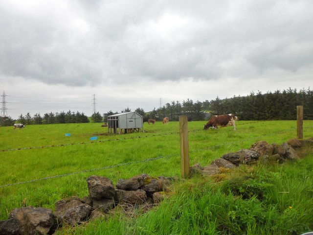
Caplaw Dam Images
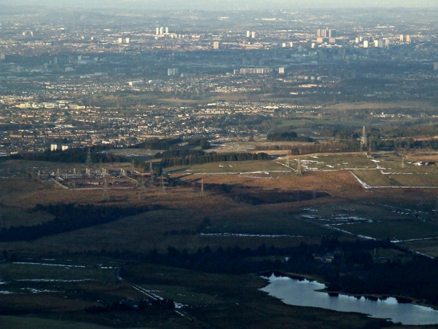
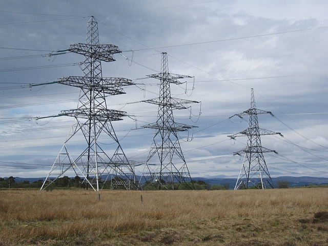
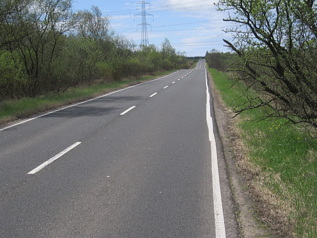
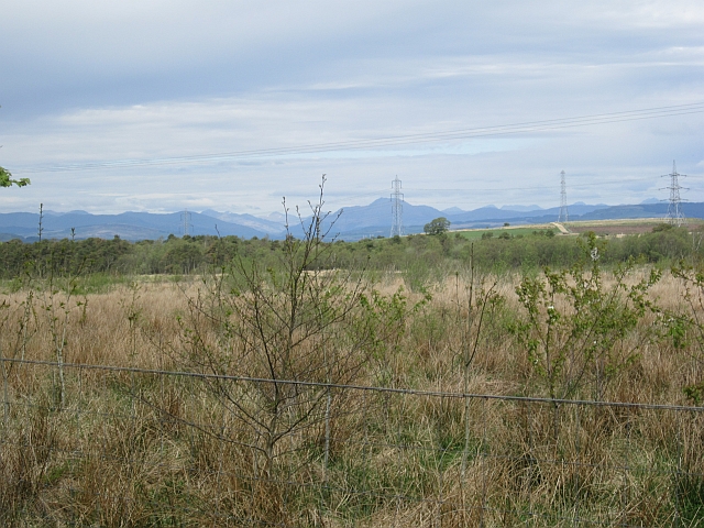
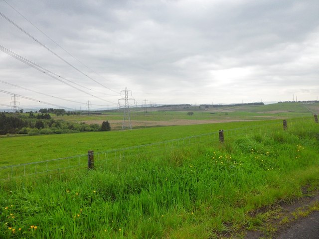
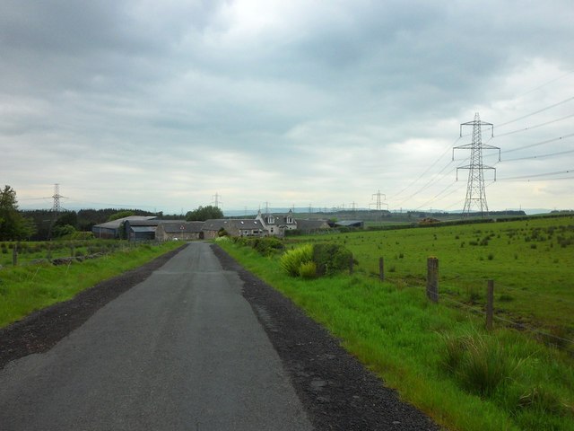
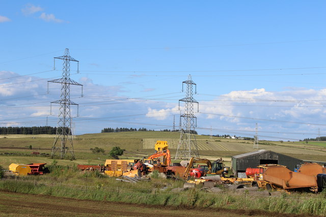
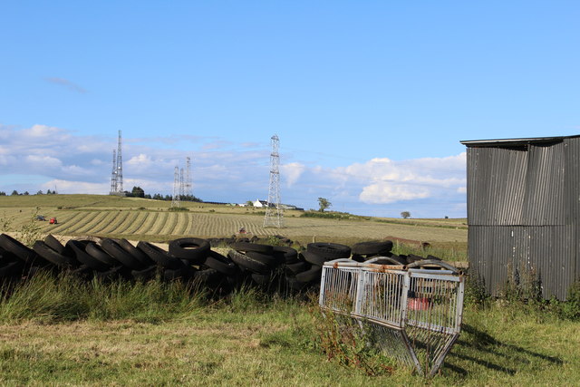
Images are sourced within 2km of 55.797273/-4.4987282 or Grid Reference NS4358. Thanks to Geograph Open Source API. All images are credited.

Caplaw Dam is located at Grid Ref: NS4358 (Lat: 55.797273, Lng: -4.4987282)
Unitary Authority: East Renfrewshire
Police Authority: Greater Glasgow
What 3 Words
///dull.names.bunk. Near Johnstone, Renfrewshire
Nearby Locations
Related Wikis

Gleniffer Braes
Gleniffer Braes ("brae" being the Scots language word for the slope or brow of a hill) is a short range of hills and park area to the south of Paisley...

Paisley and Renfrewshire South (UK Parliament constituency)
Paisley and Renfrewshire South is a constituency of the House of Commons, located in Renfrewshire, Scotland to the southwest of Glasgow. It elects one...

Walls Loch
Walls Loch is situated at a height of 560 feet, below the Walls Hill Iron Age fort and to the east of Broadfield Hill on the lands of North Castlewalls...

Shillford
Shillford or Shilford is a hamlet to the south-west of Barrhead on the Lochlibo Road in East Renfrewshire near Uplawmoor, Scotland in the parish of Neilston...
Nearby Amenities
Located within 500m of 55.797273,-4.4987282Have you been to Caplaw Dam?
Leave your review of Caplaw Dam below (or comments, questions and feedback).