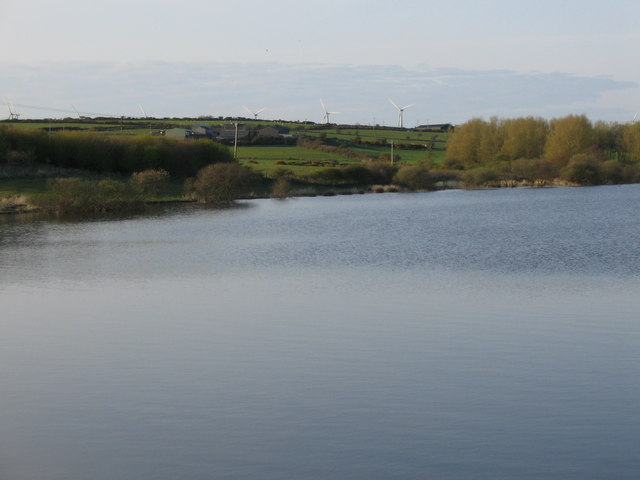
Llyn Hafodol
Lake, Pool, Pond, Freshwater Marsh in Anglesey
Wales
Llyn Hafodol

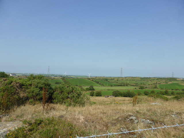
Llyn Hafodol is a small freshwater lake located on the beautiful island of Anglesey, off the northwest coast of Wales. Spanning an area of approximately 10 acres, this serene body of water is nestled amidst lush greenery and rolling hills, making it a popular destination for nature enthusiasts and birdwatchers.
Surrounded by a diverse range of habitats, Llyn Hafodol offers a unique ecosystem that supports a variety of plant and animal species. The lake itself is home to several species of freshwater fish, including perch, roach, and pike. Its calm waters provide an ideal environment for these fish to thrive, attracting anglers to its shores.
In addition to its fishing potential, Llyn Hafodol boasts a rich birdlife, making it a haven for birdwatchers. The lake and its surrounding marshes attract a wide range of bird species, including herons, ducks, and swans. Visitors can often spot these graceful creatures gliding across the water or nesting in the reed beds.
The lake is also surrounded by a lush freshwater marsh, which further enhances its ecological value. This marshland is home to various plant species, such as reeds and sedges, which provide important habitats for insects, amphibians, and small mammals.
Llyn Hafodol offers a peaceful retreat for those seeking tranquility amidst nature's beauty. Its calm waters, diverse wildlife, and picturesque surroundings make it a must-visit destination for anyone exploring the enchanting island of Anglesey.
If you have any feedback on the listing, please let us know in the comments section below.
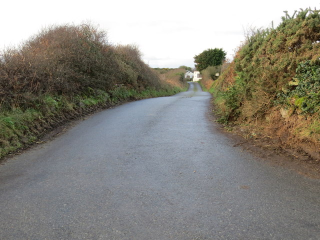
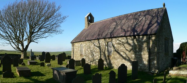
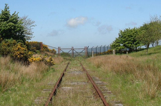
Llyn Hafodol Images
Images are sourced within 2km of 53.373861/-4.4131692 or Grid Reference SH3989. Thanks to Geograph Open Source API. All images are credited.


Llyn Hafodol is located at Grid Ref: SH3989 (Lat: 53.373861, Lng: -4.4131692)
Unitary Authority: Isle of Anglesey
Police Authority: North Wales
What 3 Words
///joyously.revival.took. Near Cemaes Bay, Isle of Anglesey
Nearby Locations
Related Wikis
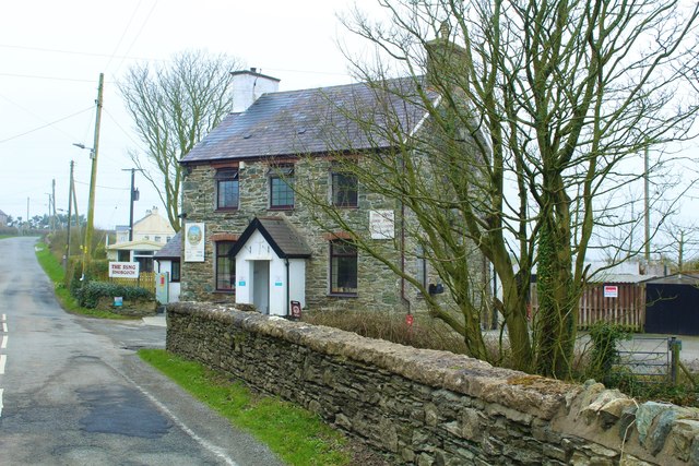
Bodewryd
Bodewryd (; Welsh: [bɔd'ɛʊrɪd]; ) is a village in Anglesey, Wales, in the community of Mechell. == St Mary's Church == The village church is St Mary's...

Carmel Head Thrust
The Carmel Head Thrust is a geological fault on Carmel Head in north Anglesey, Wales, where rocks of the Precambrian Mona Complex are thrust over Lower...
Penbol
Penbol is a hamlet in the community of Rhosybol, Anglesey, Wales, which is 140.1 miles (225.5 km) from Cardiff and 221.1 miles (355.7 km) from London...

Carreglefn
Carreglefn is a village in Anglesey, in north-west Wales., in the community of Mechell. == References ==
Rhosgoch
Rhosgoch (; meaning: Red Moor) is a small village in the north of the island of Anglesey, Wales, about 3.5 miles (5.6 km) to the south-west of Amlwch....

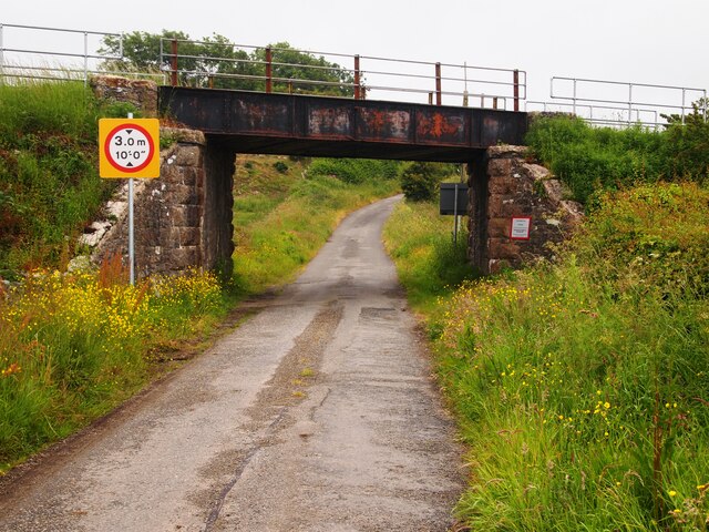
Rhosgoch railway station
Rhosgoch railway station was situated on the Anglesey Central Railway line from Gaerwen to Amlwch. It had a small platform on the Down (west) side of the...
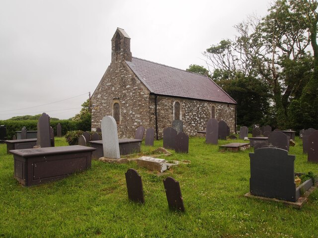
St Mary's Church, Bodewryd
St Mary's Church, Bodewryd (; Welsh: [bɔd'ɛʊrɪd]) is a small medieval church in the hamlet of Bodewryd, in Anglesey, north Wales. The date of construction...
Llyn Alaw
Llyn Alaw (meaning: Lily Lake) is a man-made reservoir on Anglesey, North Wales managed by Dŵr Cymru Welsh Water. It is a shallow lake and was built in...
Have you been to Llyn Hafodol?
Leave your review of Llyn Hafodol below (or comments, questions and feedback).