Barnkirk Loch
Lake, Pool, Pond, Freshwater Marsh in Wigtownshire
Scotland
Barnkirk Loch
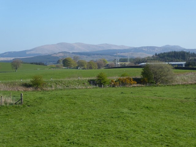
Barnkirk Loch is a small freshwater loch located in Wigtownshire, Scotland. Situated in a picturesque rural setting, this body of water is surrounded by rolling hills and lush greenery, providing a serene and tranquil environment for visitors.
Covering an area of approximately 20 acres, Barnkirk Loch is relatively shallow, with an average depth of around 10 feet. The loch is fed by small streams and natural springs, ensuring a constant flow of fresh water. Due to its size and depth, the water remains calm and placid, ideal for various recreational activities such as fishing and boating.
The loch is known for its diverse range of wildlife, both above and below the water's surface. Anglers are attracted to Barnkirk Loch due to its abundant fish population, including species such as brown trout, pike, and perch. The loch also serves as a vital habitat for various water birds, with numerous species of ducks, swans, and geese frequently seen nesting and feeding along its shores.
Surrounding the loch is a freshwater marsh, which provides a rich and fertile habitat for a variety of plant and animal species. The marshland is characterized by tall reeds, water lilies, and other aquatic plants, creating a vibrant and colorful ecosystem. It is not uncommon to spot frogs, toads, and dragonflies among the marshland's vegetation.
Overall, Barnkirk Loch offers a peaceful and picturesque setting for nature enthusiasts, anglers, and those seeking a tranquil escape amidst the natural beauty of Wigtownshire.
If you have any feedback on the listing, please let us know in the comments section below.
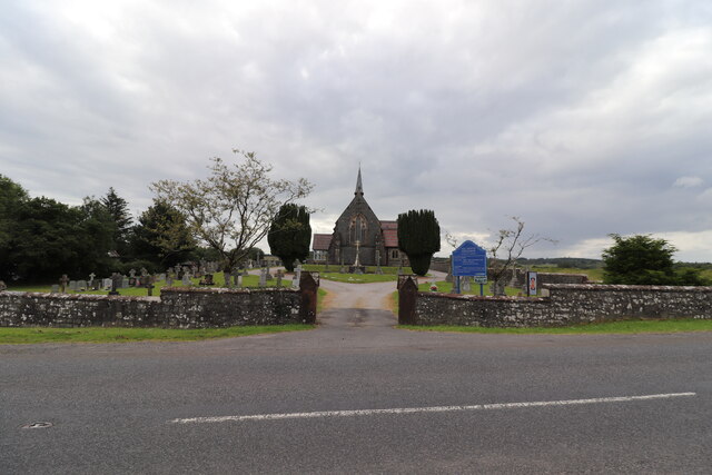
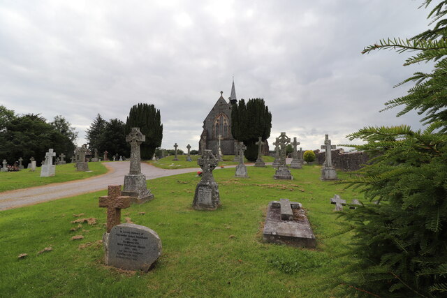
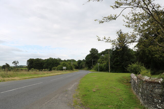
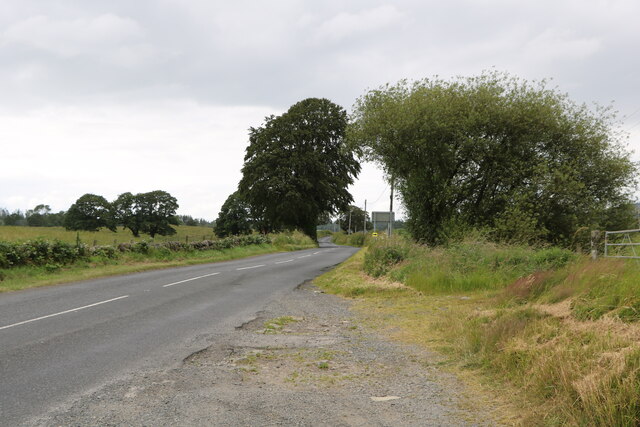
Barnkirk Loch Images
Images are sourced within 2km of 54.965654/-4.511838 or Grid Reference NX3966. Thanks to Geograph Open Source API. All images are credited.
Barnkirk Loch is located at Grid Ref: NX3966 (Lat: 54.965654, Lng: -4.511838)
Unitary Authority: Dumfries and Galloway
Police Authority: Dumfries and Galloway
What 3 Words
///watching.prefect.pulps. Near Newton Stewart, Dumfries & Galloway
Nearby Locations
Related Wikis

Newton Stewart F.C.
Newton Stewart Football Club are a football club from the town of Newton Stewart in the Dumfries and Galloway area of Scotland. Formed in 1880, as Newton...

Newton Stewart
Newton Stewart (Gd: Baile Ùr nan Stiùbhartach) is a former burgh town in the historical county of Wigtownshire in Dumfries and Galloway, southwest Scotland...

Douglas Ewart High School
Douglas Ewart High School was opened in 1922 in Newton Stewart, Scotland. It was formed by the amalgamation of the Douglas Free School opened in 1834...

Minnigaff
Minnigaff is a village and civil parish in the historic county of Kirkcudbrightshire in Dumfries and Galloway, Scotland. Lead was discovered there in...

Newton Stewart railway station
Newton Stewart railway station served the town of Newton Stewart, Dumfries and Galloway, Scotland from 1861 to 1965 on the Portpatrick and Wigtownshire...
Penninghame
Penninghame in Wigtownshire, Dumfries and Galloway, Scotland, is a civil parish area, 8 miles (N. W.) from Wigtown. The area is approx 16 miles in length...

Newton Stewart Hospital
Newton Stewart Hospital is a health facility in Newton Stewart, Dumfries and Galloway, Scotland. It is managed by NHS Dumfries and Galloway. == History... ==

McMillan Hall, Newton Stewart
The McMillan Hall is a municipal building in Dashwood Square in Newton Stewart, Dumfries and Galloway, Scotland. The structure, which is used as a community...
Nearby Amenities
Located within 500m of 54.965654,-4.511838Have you been to Barnkirk Loch?
Leave your review of Barnkirk Loch below (or comments, questions and feedback).