Lochans of Cairndoon
Lake, Pool, Pond, Freshwater Marsh in Wigtownshire
Scotland
Lochans of Cairndoon
The requested URL returned error: 429 Too Many Requests
If you have any feedback on the listing, please let us know in the comments section below.
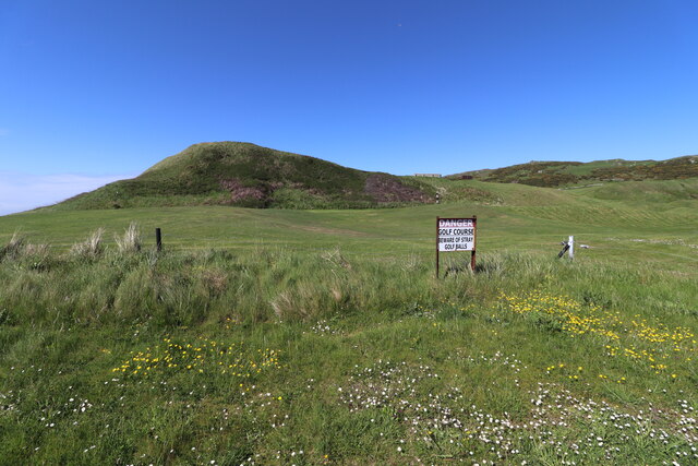
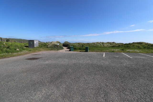
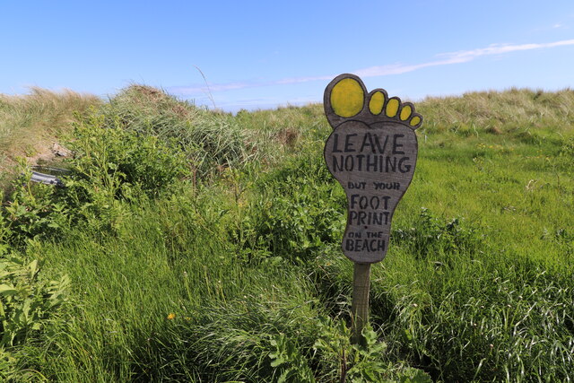
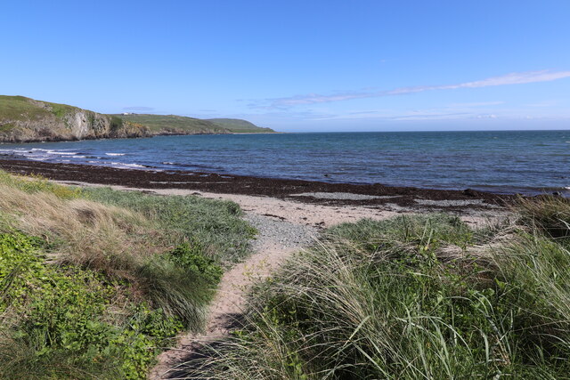
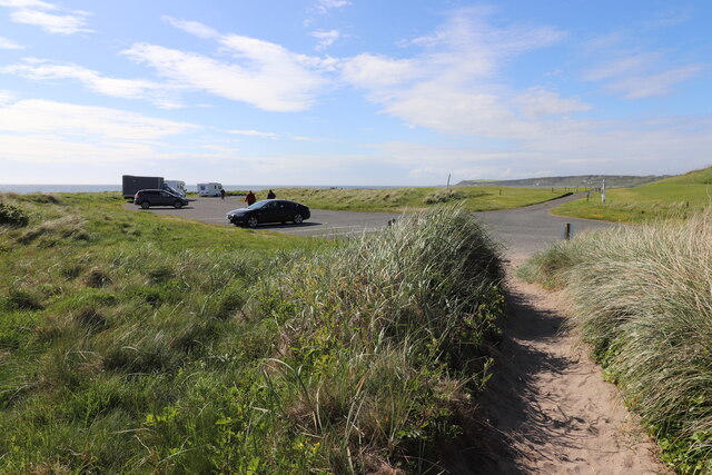
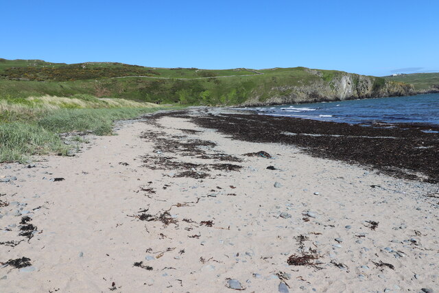
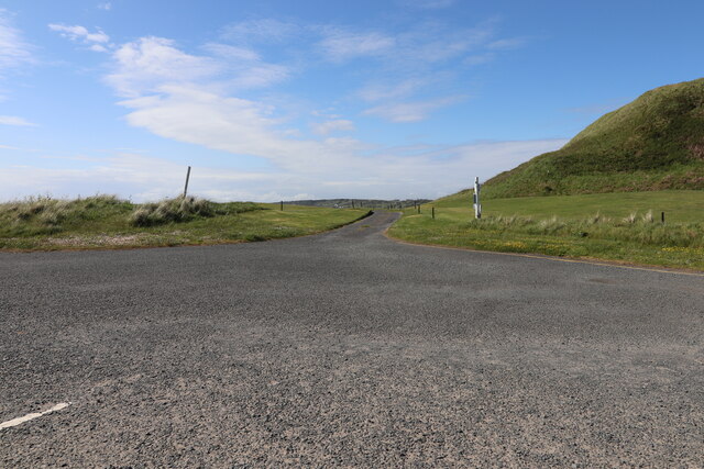
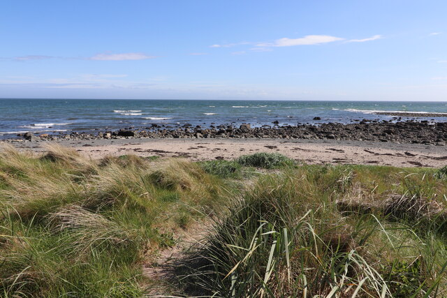
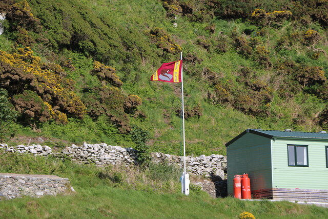
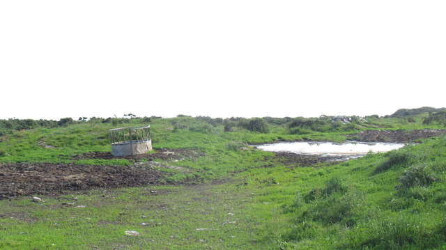
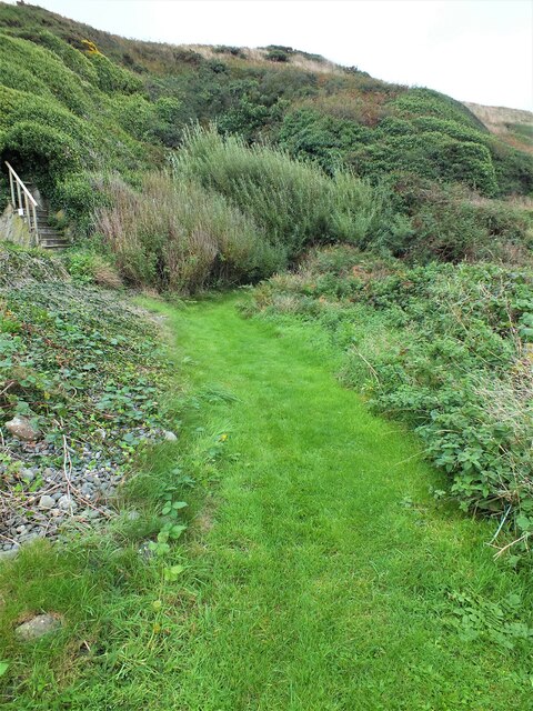
Lochans of Cairndoon Images
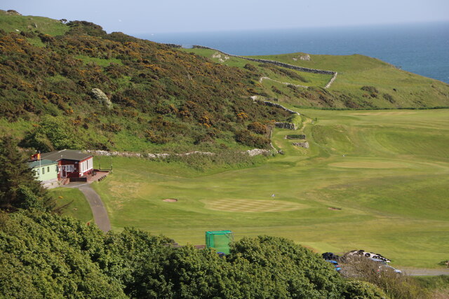
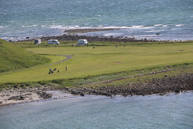
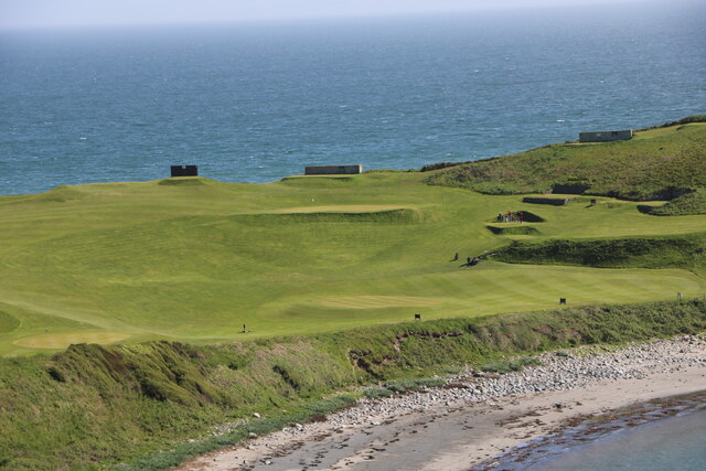
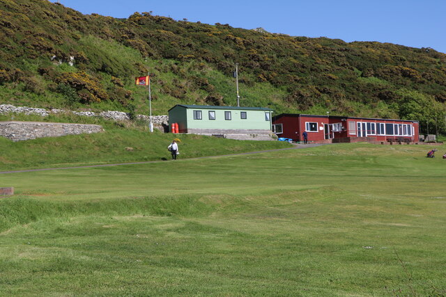
Images are sourced within 2km of 54.712115/-4.5207249 or Grid Reference NX3738. Thanks to Geograph Open Source API. All images are credited.


Lochans of Cairndoon is located at Grid Ref: NX3738 (Lat: 54.712115, Lng: -4.5207249)
Unitary Authority: Dumfries and Galloway
Police Authority: Dumfries and Galloway
What 3 Words
///untruth.purse.producers. Near Whithorn, Dumfries & Galloway
Nearby Locations
Related Wikis

Monreith
Monreith ([mɒn'ri:θ] / 'mon-REETH'; Scottish Gaelic: Am Monadh Rèidh) is a small seaside village in the Machars, in the historical county of Wigtownshire...

Wren's Egg
The Wren's Egg (grid reference NX 3610 4199) is the name given to a set of late Neolithic or Bronze Age stone monuments in the parish of Glasserton, Wigtownshire...
Glasserton
Glasserton is a civil parish in Dumfries and Galloway, south-west Scotland. It is on the Machars peninsula, in the traditional county of Wigtownshire....

St Ninian's Cave
St Ninian's Cave is a cave in Physgill Glen, Whithorn, Dumfries and Galloway, Scotland. It features in the climax of the acclaimed 1973 horror film The...
Nearby Amenities
Located within 500m of 54.712115,-4.5207249Have you been to Lochans of Cairndoon?
Leave your review of Lochans of Cairndoon below (or comments, questions and feedback).