Blagdon Lake

Lake, Pool, Pond, Freshwater Marsh in Devon Torridge

England

Blagdon Lake

View of Higher Broadpark Triangulation Pillar Looking south-eastward. This roadside ivy covered pillar stands on top of the field boundary.
View of Higher Broadpark Triangulation Pillar Credit: Peter Wood

Blagdon Lake, located in Devon, is a picturesque freshwater lake encompassing an area of approximately 440 acres. Nestled within the scenic Mendip Hills, it is a popular destination for nature enthusiasts, anglers, and those seeking tranquility amidst stunning natural surroundings.

The lake was created in the late 19th century by damming the River Yeo. This engineering feat not only resulted in the formation of the lake, but it also enabled the generation of hydroelectric power. Today, the lake serves as a reservoir for the Bristol Water Company, supplying water to the nearby towns and villages.

Blagdon Lake is home to a diverse range of flora and fauna. The surrounding woodlands provide a habitat for various bird species, including great crested grebes, herons, and kingfishers. The lake itself teems with fish, making it a popular destination for anglers. Species such as pike, perch, and rainbow trout can be found in its crystal-clear waters.

The lake is surrounded by a well-maintained footpath, allowing visitors to enjoy leisurely walks while taking in the breathtaking views. Additionally, a nature reserve has been established on the southeastern side of the lake, providing a sanctuary for a wide array of wildlife.

Blagdon Lake offers recreational activities such as sailing, kayaking, and windsurfing, providing opportunities for both enthusiasts and beginners. The lake's tranquil atmosphere and scenic beauty make it a perfect spot for picnics and family outings.

In conclusion, Blagdon Lake in Devon is a serene and beautiful freshwater lake, offering a range of recreational activities and abundant wildlife. Whether one seeks a peaceful stroll, a fishing expedition, or simply a tranquil escape, Blagdon Lake proves to be an idyllic destination.

If you have any feedback on the listing, please let us know in the comments section below.

Blagdon Lake Images

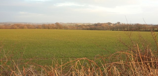
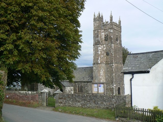
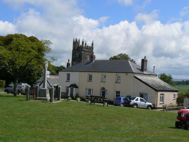
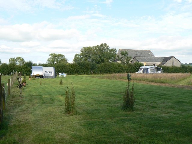
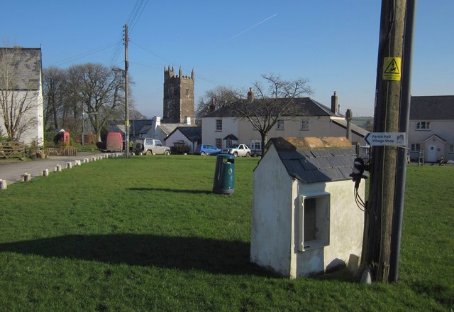
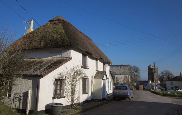
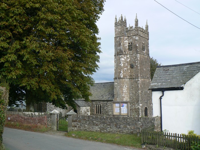
Images are sourced within 2km of 50.744174/-4.30454 or Grid Reference SX3796. Thanks to Geograph Open Source API. All images are credited.

View of Higher Broadpark Triangulation Pillar Looking south-eastward. This roadside ivy covered pillar stands on top of the field boundary.
View of Higher Broadpark Triangulation Pillar
Looking south-eastward. This roadside ivy covered pillar stands on top of the field boundary.
Wind turbine, Blagdon Cross The A388 at the junction with a road to Sandymoor Cross.
Wind turbine, Blagdon Cross
The A388 at the junction with a road to Sandymoor Cross.
A388 at Docketts Tenements The main road follows a parish boundary here, with Luffincott to the left and Ashwater on the right. Ahead are wind turbines near Blagdon Cross.
A388 at Docketts Tenements
The main road follows a parish boundary here, with Luffincott to the left and Ashwater on the right. Ahead are wind turbines near Blagdon Cross.
Blagdon Cross Here a road to Sandymoor Cross leaves the A388. <a href="https://www.geograph.org.uk/photo/4866317">SX3696 : Wind turbine, Blagdon Cross</a> looks left from the same point.
Blagdon Cross
Here a road to Sandymoor Cross leaves the A388. SX3696 : Wind turbine, Blagdon Cross looks left from the same point.
A388 at Blagdon Cross Looking in the opposite direction to <a href="https://www.geograph.org.uk/photo/4866317">SX3696 : Wind turbine, Blagdon Cross</a> along the main road, showing the second wind turbine.
A388 at Blagdon Cross
Looking in the opposite direction to SX3696 : Wind turbine, Blagdon Cross along the main road, showing the second wind turbine.
Towards Ashwater From Blagdon Cross on the A388 in dwindling evening light. The village can be made out left of centre. The farm on the right is Larkworthy.
Towards Ashwater
From Blagdon Cross on the A388 in dwindling evening light. The village can be made out left of centre. The farm on the right is Larkworthy.
Ashwater War memorial
Ashwater Church Ashwater Parish Church is dedicated to St. Peter ad Vincula, and dates from 1250.
Ashwater Church
Ashwater Parish Church is dedicated to St. Peter ad Vincula, and dates from 1250.
Ashwater village
Ashwater village
Sunny Pooh Caravan site Small caravan site in Ashwater.
Sunny Pooh Caravan site
Small caravan site in Ashwater.
Gate / Entrance to Sunny Pooh Corner
Cottage and church, Ashwater In front of the tower of <a href="https://www.geograph.org.uk/photo/2804472">SX3895 : Church of St Peter ad Vincula, Ashwater</a> is Bell Tower Cottage, a "former farmhouse dating from between 1420 and 1540 ... medieval two room and cross passage houses are rare nationally" <span class="nowrap"><a title="http://www.britishlistedbuildings.co.uk/en-90720-bell-tower-cottage-ashwater" rel="nofollow ugc noopener" href="http://www.britishlistedbuildings.co.uk/en-90720-bell-tower-cottage-ashwater">Link</a><img style="margin-left:2px;" alt="External link" title="External link - shift click to open in new window" src="https://s1.geograph.org.uk/img/external.png" width="10" height="10"/></span> .
Cottage and church, Ashwater
In front of the tower of SX3895 : Church of St Peter ad Vincula, Ashwater is Bell Tower Cottage, a "former farmhouse dating from between 1420 and 1540 ... medieval two room and cross passage houses are rare nationally" LinkExternal link .
Church of St Peter ad Vincula, Ashwater Cherry and Pevsner surmise that the church was originally cruciform. An "odd plan" to the pinnacled stair-turret that rises above the tower. See <span class="nowrap"><a title="http://www.britishlistedbuildings.co.uk/en-90719-church-of-st-peter-ashwater" rel="nofollow ugc noopener" href="http://www.britishlistedbuildings.co.uk/en-90719-church-of-st-peter-ashwater">Link</a><img style="margin-left:2px;" alt="External link" title="External link - shift click to open in new window" src="https://s1.geograph.org.uk/img/external.png" width="10" height="10"/></span> .
Church of St Peter ad Vincula, Ashwater
Cherry and Pevsner surmise that the church was originally cruciform. An "odd plan" to the pinnacled stair-turret that rises above the tower. See LinkExternal link .
Graveyard, Ashwater The northern side of the churchyard, with a tree-lined bank rising to the road. Early daffodils.
Graveyard, Ashwater
The northern side of the churchyard, with a tree-lined bank rising to the road. Early daffodils.
Houses at Ashwater A scene on the eastern side of the village green. The K6 telephone box is listed <span class="nowrap"><a title="http://www.britishlistedbuildings.co.uk/en-90788-k6-telephone-kiosk-no-ashwater-211-ashwat" rel="nofollow ugc noopener" href="http://www.britishlistedbuildings.co.uk/en-90788-k6-telephone-kiosk-no-ashwater-211-ashwat">Link</a><img style="margin-left:2px;" alt="External link" title="External link - shift click to open in new window" src="https://s1.geograph.org.uk/img/external.png" width="10" height="10"/></span> . So too is the thatched C18 Holmdene <span class="nowrap"><a title="http://www.britishlistedbuildings.co.uk/en-90718-holmdene-ashwater" rel="nofollow ugc noopener" href="http://www.britishlistedbuildings.co.uk/en-90718-holmdene-ashwater">Link</a><img style="margin-left:2px;" alt="External link" title="External link - shift click to open in new window" src="https://s1.geograph.org.uk/img/external.png" width="10" height="10"/></span> .
Houses at Ashwater
A scene on the eastern side of the village green. The K6 telephone box is listed LinkExternal link . So too is the thatched C18 Holmdene LinkExternal link .
House, Ashwater With an oak tree at the corner of the lanes to Henford and Thorney Cross.
House, Ashwater
With an oak tree at the corner of the lanes to Henford and Thorney Cross.
Green, Ashwater A little roofed box (a disguised Lucy box?) stands beside the telegraph pole on the green. Behind the waste bin can be seen the tower of <a href="https://www.geograph.org.uk/photo/2804472">SX3895 : Church of St Peter ad Vincula, Ashwater</a>.
Green, Ashwater
A little roofed box (a disguised Lucy box?) stands beside the telegraph pole on the green. Behind the waste bin can be seen the tower of SX3895 : Church of St Peter ad Vincula, Ashwater.
Cottage, Ashwater Wembley House is on the northwest side of the green, and is described at <span class="nowrap"><a title="http://www.britishlistedbuildings.co.uk/en-90717-wembley-house-ashwater" rel="nofollow ugc noopener" href="http://www.britishlistedbuildings.co.uk/en-90717-wembley-house-ashwater">Link</a><img style="margin-left:2px;" alt="External link" title="External link - shift click to open in new window" src="https://s1.geograph.org.uk/img/external.png" width="10" height="10"/></span> . On the right is the scene in <a href="https://www.geograph.org.uk/photo/2804461">SX3895 : Cottage and church, Ashwater</a>.
Cottage, Ashwater
Wembley House is on the northwest side of the green, and is described at LinkExternal link . On the right is the scene in SX3895 : Cottage and church, Ashwater.
Show me another place!

Blagdon Lake is located at Grid Ref: SX3796 (Lat: 50.744174, Lng: -4.30454)

Administrative County: Devon

District: Torridge

Police Authority: Devon and Cornwall

What 3 Words

///going.animal.extensive. Near Boyton, Cornwall

Related Wikis

Ashwater

Ashwater is a village and civil parish in the Torridge district of Devon, England. According to the 2001 census it had a population of 651 that had risen...

Ashwater railway station

Ashwater railway station was a railway station that served the hamlets of Ashwater and Ashmill in Devon, England. It was located on the North Cornwall...

Quoditch

Quoditch is a hamlet in the parish of Ashwater, part of the Torridge district of Devon, England. Its nearest town is Holsworthy, which lies approximately...

Bradaford

Bradaford is a village in Devon, England.

Nearby Amenities

Located within 500m of 50.744174,-4.30454
Power: pole
Lat/Long: 50.74798/-4.3028426
Power: pole
Lat/Long: 50.7475116/-4.302215
Power: pole
Lat/Long: 50.7465799/-4.3009892
Power: pole
Lat/Long: 50.7458161/-4.2999405
Power: pole
Lat/Long: 50.7452391/-4.299219
Power: pole
Lat/Long: 50.7469583/-4.2996132
Power: pole
Lat/Long: 50.7464237/-4.2992994
Power: pole
Lat/Long: 50.745385/-4.2987925
Power: pole
Lat/Long: 50.7448861/-4.29813
Power: pole
Lat/Long: 50.7447214/-4.2985243
The data included in this document is from www.openstreetmap.org. The data is made available under ODbL.

Have you been to Blagdon Lake?

Leave your review of Blagdon Lake below (or comments, questions and feedback).