Blairbuy Loch

Lake, Pool, Pond, Freshwater Marsh in Wigtownshire

Scotland

Blairbuy Loch

Front Bay, Monreith Viewed from the Gavin Maxwell Otter Memorial. Looking towards St Medan Golf Course.
Front Bay, Monreith Credit: Billy McCrorie

Blairbuy Loch, located in Wigtownshire, Scotland, is a picturesque freshwater lake surrounded by lush greenery and rolling hills. It covers an area of approximately 10 hectares and is a popular destination for nature enthusiasts and birdwatchers.

The Loch is situated within a peaceful and tranquil setting, offering visitors a chance to escape the hustle and bustle of everyday life. Its calm and serene waters are home to a diverse range of aquatic plant life, including water lilies and reeds, creating a beautiful and vibrant ecosystem.

The Loch is also a haven for various bird species, making it an ideal spot for birdwatching. Visitors can catch glimpses of rare species such as the great crested grebe, the tufted duck, and the little grebe, among others. The surrounding marshland provides a perfect habitat for these birds, offering them ample food sources and nesting opportunities.

In addition to its natural beauty, Blairbuy Loch offers recreational activities for visitors. Fishing is a popular pastime, with anglers enjoying the opportunity to catch brown trout and perch within the Loch's waters. The gentle slopes surrounding the Loch also make it an ideal location for picnicking, hiking, and photography.

Blairbuy Loch is easily accessible, with ample parking and well-maintained footpaths. It is open to the public throughout the year, allowing visitors to experience its beauty in all seasons. Whether one seeks an escape into nature, wants to observe unique bird species, or simply desires a peaceful day out, Blairbuy Loch offers something for everyone.

If you have any feedback on the listing, please let us know in the comments section below.

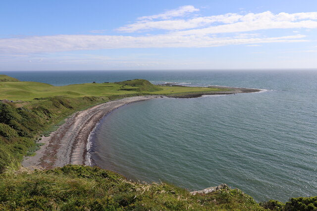
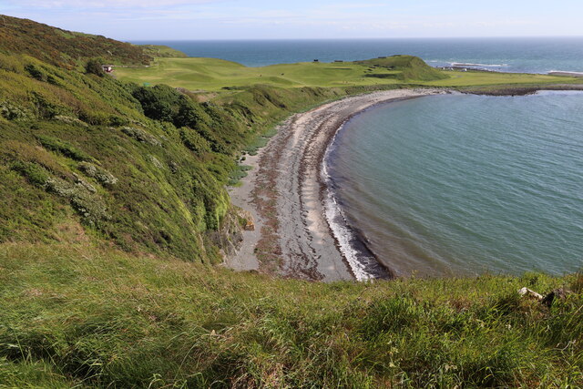
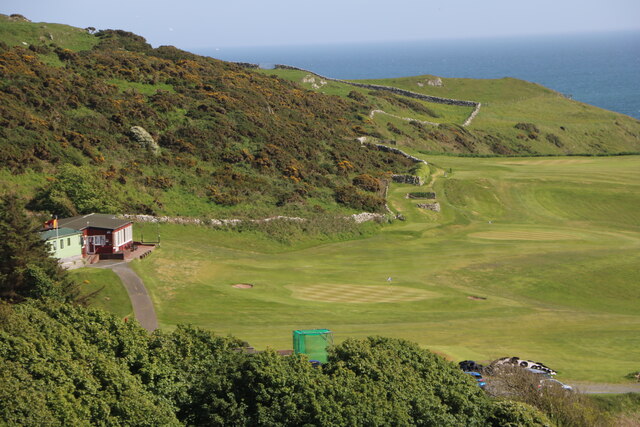
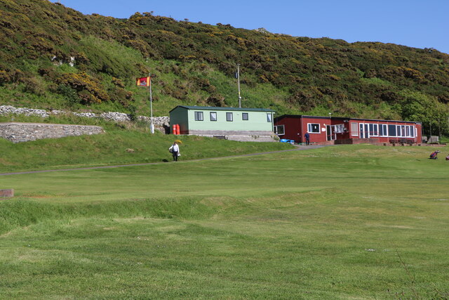
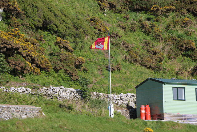
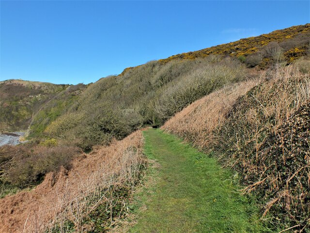
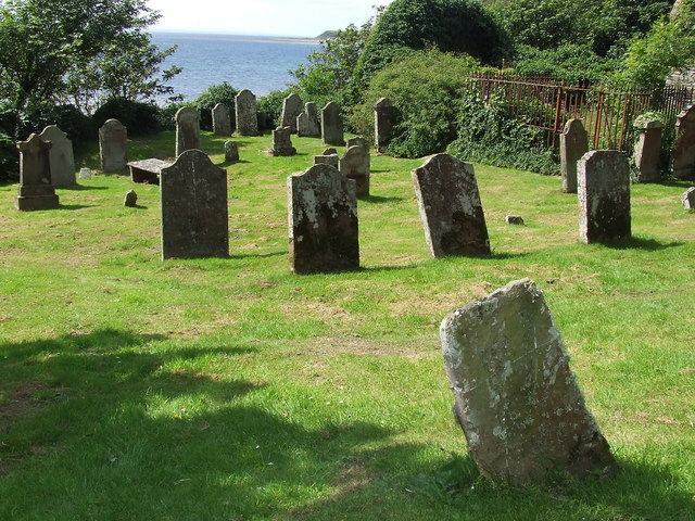
Blairbuy Loch Images

Images are sourced within 2km of 54.743016/-4.5433416 or Grid Reference NX3641. Thanks to Geograph Open Source API. All images are credited.

Front Bay, Monreith Viewed from the Gavin Maxwell Otter Memorial. Looking towards St Medan Golf Course.
Front Bay, Monreith
Viewed from the Gavin Maxwell Otter Memorial. Looking towards St Medan Golf Course.
Shore at Front Bay, Monreith At Point of Lag looking over St Medan Golf Course. Viewed from the Gavin Maxwell Otter Memorial.
Shore at Front Bay, Monreith
At Point of Lag looking over St Medan Golf Course. Viewed from the Gavin Maxwell Otter Memorial.
St. Medan Golf Course With Clubhouse, viewed from Gavin Maxwell Otter Memorial.
St. Medan Golf Course
With Clubhouse, viewed from Gavin Maxwell Otter Memorial.
St. Medan Clubhouse Golf Course near Monreith.
St. Medan Clubhouse
Golf Course near Monreith.
St. Medan Golf Club Flag Golf Course near Monreith.
St. Medan Golf Club Flag
Golf Course near Monreith.
Path to Kirkmaiden The path from the golf course car park to the old kirk.
Path to Kirkmaiden
The path from the golf course car park to the old kirk.
Kirkmaiden Old Church And Churchyard A lovely little kirk built on the cliff above Front Bay.
Kirkmaiden Old Church And Churchyard
A lovely little kirk built on the cliff above Front Bay.
Steps to Kirkmaiden Rising from Front Bay to the old kirk just visible on the left.
Steps to Kirkmaiden
Rising from Front Bay to the old kirk just visible on the left.
St Medan Golf Club Beautifully situated on the shore of Front Bay, the southern part of Monreith Bay.
St Medan Golf Club
Beautifully situated on the shore of Front Bay, the southern part of Monreith Bay.
Kirkmaiden in Ferness This ancient ruined chapel and graveyard overlooks Front Bay. The roofed building is the burial place of the Maxwell family of Monreith. A small well nearby is associated with St Medana and is said to have healing properties. There is another chapel of the same name on the opposite side of Luce Bay near Drummore. (See <span class="nowrap"><a title="http://www.mull-of-galloway.co.uk/history/myths_legends.html" rel="nofollow ugc noopener" href="http://www.mull-of-galloway.co.uk/history/myths_legends.html">Link</a><img style="margin-left:2px;" alt="External link" title="External link - shift click to open in new window" src="https://s1.geograph.org.uk/img/external.png" width="10" height="10"/></span> for the story of St Medana).
Kirkmaiden in Ferness
This ancient ruined chapel and graveyard overlooks Front Bay. The roofed building is the burial place of the Maxwell family of Monreith. A small well nearby is associated with St Medana and is said to have healing properties. There is another chapel of the same name on the opposite side of Luce Bay near Drummore. (See LinkExternal link for the story of St Medana).
Gravestone at Kirkmaiden There are even older gravestones in this little burial ground.
Gravestone at Kirkmaiden
There are even older gravestones in this little burial ground.
Memorial plaque in Kirkmaiden churchyard Self-explanatory.
Memorial plaque in Kirkmaiden churchyard
Self-explanatory.
A road through St. Medan's golf course This unclassified road runs from the A747 to Back Bay. The view here is looking into Front Bay.
A road through St. Medan's golf course
This unclassified road runs from the A747 to Back Bay. The view here is looking into Front Bay.
Kirkmaiden church and graveyard
Kirkmaiden graveyard
Car park at St Medan's Golf Club This golf club is unusual as it has 9 holes but 18 tees!  The road is public and winds alongside the course on its way to a car park by the beach.
Car park at St Medan's Golf Club
This golf club is unusual as it has 9 holes but 18 tees! The road is public and winds alongside the course on its way to a car park by the beach.
The Lagg, St Medan's Golf Club This is the 7th hole at St. Medan's. Golfers are challenged when playing this hole.  Do they play boldly and up and over The Lagg or do they "lag" up?  
The Lagg looks man-made and there are square, stone "bunkers".  What are they?
The Lagg, St Medan's Golf Club
This is the 7th hole at St. Medan's. Golfers are challenged when playing this hole. Do they play boldly and up and over The Lagg or do they "lag" up? The Lagg looks man-made and there are square, stone "bunkers". What are they?
The Road from Back Bay, Monreith Passing through St Medan Golf Course.
The Road from Back Bay, Monreith
Passing through St Medan Golf Course.
Show me another place!

Blairbuy Loch is located at Grid Ref: NX3641 (Lat: 54.743016, Lng: -4.5433416)

Unitary Authority: Dumfries and Galloway

Police Authority: Dumfries and Galloway

What 3 Words

///curve.contracts.ferrying. Near Whithorn, Dumfries & Galloway

Related Wikis

Wren's Egg

The Wren's Egg (grid reference NX 3610 4199) is the name given to a set of late Neolithic or Bronze Age stone monuments in the parish of Glasserton, Wigtownshire...

Monreith

Monreith ([mɒn'ri:θ] / 'mon-REETH'; Scottish Gaelic: Am Monadh Rèidh) is a small seaside village in the Machars, in the historical county of Wigtownshire...

Monreith House

Monreith House is a category A listed Georgian mansion located 1.5 kilometres (0.93 mi) east of the village of Port William in Mochrum parish in the historical...

Drumtroddan standing stones

The Drumtroddan standing stones (grid reference NX 36449 44300) are a small Neolithic or Bronze Age stone alignment in the parish of Mochrum, Wigtownshire...

Port William, Dumfries and Galloway

Port William (Scottish Gaelic: Cill na Tràghad) is a fishing village in the parish of Mochrum in the historical county of Wigtownshire, Dumfries and Galloway...

Mochrum

Mochrum () is a coastal civil and Church of Scotland parish situated to the east of Luce Bay on the Machars peninsula and 8 miles (13 km) southwest of...

Glasserton

Glasserton is a civil parish in Dumfries and Galloway, south-west Scotland. It is on the Machars peninsula, in the traditional county of Wigtownshire....

Rispain Camp

Rispain Camp is the remains of a fortified farmstead 1 mile west of Whithorn, Dumfries and Galloway, Scotland. It is one of the major Iron Age archaeological...

Nearby Amenities

Located within 500m of 54.743016,-4.5433416
Power: pole
Lat/Long: 54.73971/-4.5474175
Power: pole
Lat/Long: 54.7403481/-4.5471935
Power: pole
Lat/Long: 54.7411996/-4.5468892
Power: pole
Lat/Long: 54.7420292/-4.5466018
Power: pole
Lat/Long: 54.7428673/-4.5462975
Power: pole
Lat/Long: 54.7437005/-4.5460037
Power: pole
Lat/Long: 54.7446056/-4.5457797
Power: pole
Lat/Long: 54.7455668/-4.5455515
Power: pole
Lat/Long: 54.7464317/-4.5453232
Power: pole
Lat/Long: 54.7471599/-4.5461411
Power: pole
Lat/Long: 54.7440054/-4.5474851
Power: pole
Lat/Long: 54.7442799/-4.548751
Power: pole
Lat/Long: 54.7445519/-4.5500275
Power: pole
Lat/Long: 54.7462695/-4.544387
Power: pole
Lat/Long: 54.7461145/-4.5434698
Power: pole
Lat/Long: 54.7458474/-4.5418827
The data included in this document is from www.openstreetmap.org. The data is made available under ODbL.

Have you been to Blairbuy Loch?

Leave your review of Blairbuy Loch below (or comments, questions and feedback).