Ballaird Loch

Lake, Pool, Pond, Freshwater Marsh in Wigtownshire

Scotland

Ballaird Loch

Clear felled forest Near Culmalzie.
Clear felled forest Credit: Russel Wills

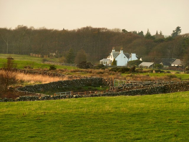
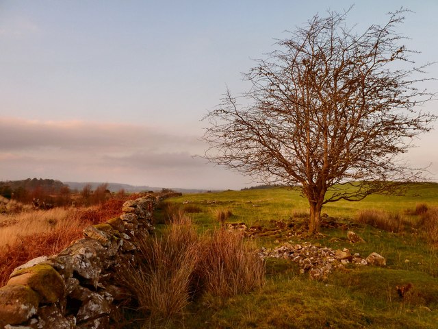
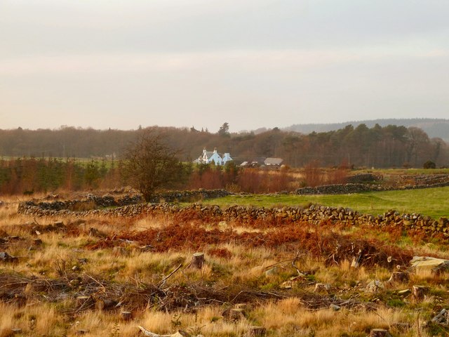
Ballaird Loch is a freshwater loch located in Wigtownshire, Scotland. Situated amidst picturesque surroundings, the loch covers an area of approximately 10 hectares and is nestled within gently rolling hills and lush greenery. It is a popular destination for nature enthusiasts and birdwatchers due to its rich biodiversity and serene ambiance.

The loch is primarily fed by small streams and rainfall, ensuring a constant supply of fresh water. Its depth varies, with the deepest point reaching around 6 meters. The water is generally clear and unpolluted, creating a suitable habitat for various aquatic species.

Ballaird Loch is home to a diverse range of flora and fauna. The surrounding wetlands and marshes provide a fertile environment for numerous plant species, including reeds, rushes, and water lilies. These plants not only contribute to the loch's aesthetic appeal but also serve as a vital food source and shelter for a wide array of wildlife.

Birdlife thrives on and around the loch, with several species making it their permanent or seasonal residence. Swans, ducks, geese, and herons are commonly spotted, particularly during the breeding season. The loch also attracts migratory birds, such as wading birds and ospreys, adding to its ornithological significance.

The tranquil atmosphere and natural beauty of Ballaird Loch make it an ideal spot for recreational activities. Visitors can enjoy fishing, boating, or simply take a leisurely stroll along the water's edge, immersing themselves in the peaceful surroundings and abundant wildlife.

If you have any feedback on the listing, please let us know in the comments section below.

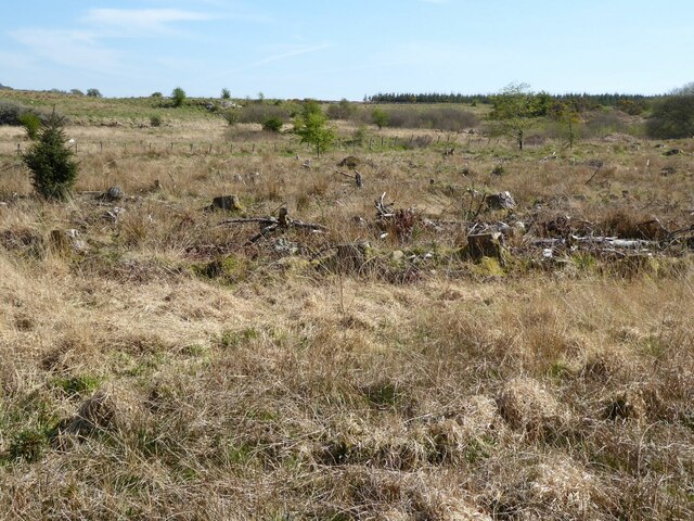
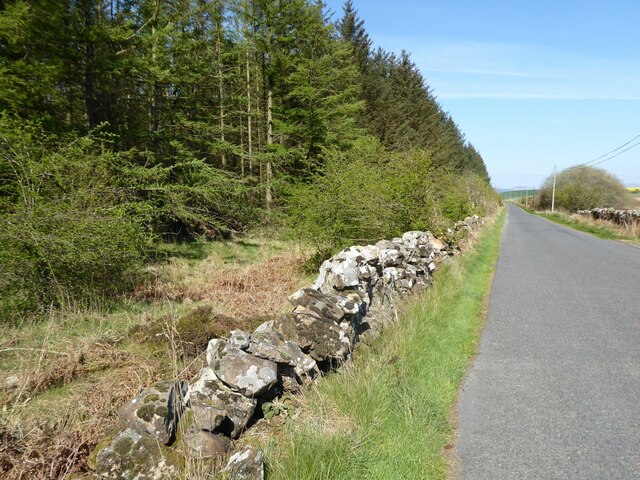
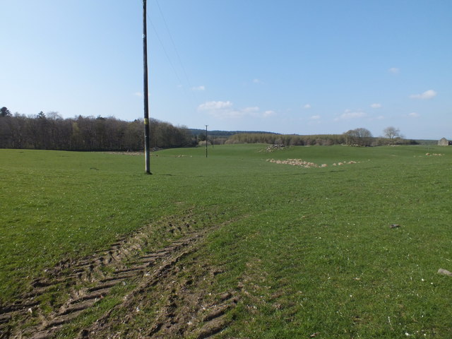
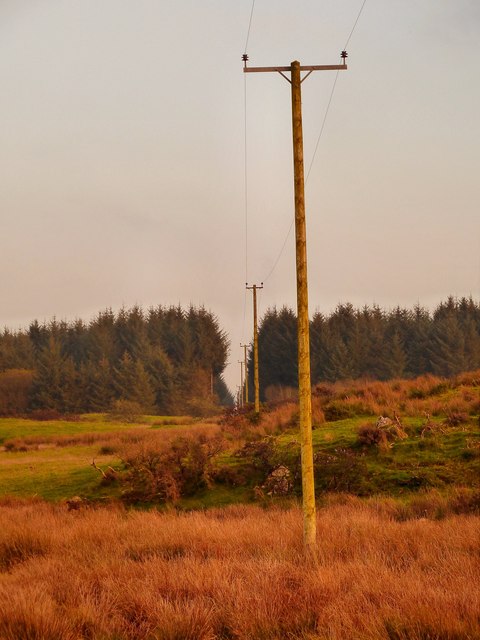
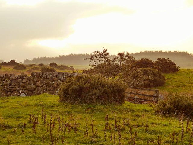
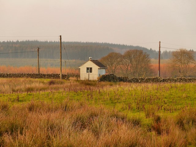
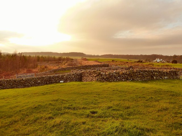
Ballaird Loch Images

Images are sourced within 2km of 54.853414/-4.5613652 or Grid Reference NX3553. Thanks to Geograph Open Source API. All images are credited.

Clear felled forest Near Culmalzie.
Clear felled forest
Near Culmalzie.
Approaching Culmalzie  In The Machars.
Approaching Culmalzie
In The Machars.
Gateway to Culmalzie In The Machars.
Gateway to Culmalzie
In The Machars.
Culmazie Bungalow Approaching  Bladnoch.
Culmazie Bungalow
Approaching Bladnoch.
Looking across The Machars Towards Cairnsmore of Fleet in the distance.
Looking across The Machars
Towards Cairnsmore of Fleet in the distance.
Cancelled Benchmark A cancelled Ordnance Survey cut mark in a wall near Airriequhillart Farm.
Cancelled Benchmark
A cancelled Ordnance Survey cut mark in a wall near Airriequhillart Farm.
Power Line Across the fields near Airriequhillart Farm.
Power Line
Across the fields near Airriequhillart Farm.
Rush Hour! It was such a lovely day the farmer has decided to take his cows and calves for a walk along the B7005 passing Culmalzie Cottage.
Rush Hour!
It was such a lovely day the farmer has decided to take his cows and calves for a walk along the B7005 passing Culmalzie Cottage.
Airriequhillart View across this rough grazing land to a fire break in the forest.
Airriequhillart
View across this rough grazing land to a fire break in the forest.
Airriequhillart View across to the Flow of Airriequhillart on the horizon.
Airriequhillart
View across to the Flow of Airriequhillart on the horizon.
Mochrum Telephone Exchange This rural telephone exchange can be found at the side of the B7005.
Mochrum Telephone Exchange
This rural telephone exchange can be found at the side of the B7005.
Sheepfold This stone sheepfold is on rough grazing land due south of Mochrum Telephone Exchange. The line of a stane wall from the exchange takes you to this point.
Sheepfold
This stone sheepfold is on rough grazing land due south of Mochrum Telephone Exchange. The line of a stane wall from the exchange takes you to this point.
Airriequhillart Farm View past this sheepfold marked on OS Mapping to the farm.
Airriequhillart Farm
View past this sheepfold marked on OS Mapping to the farm.
Stane Wall and Tree The stane wall to the left runs north west in this direction and ends at the Mochrum Telephone Exchange by the B7005. The land to the right was being used to graze sheep when I visited. Left of centre on the horizon is a stane sheepfold <a href="https://www.geograph.org.uk/photo/2695133">NX3552 : Airriequhillart Farm</a>.
Stane Wall and Tree
The stane wall to the left runs north west in this direction and ends at the Mochrum Telephone Exchange by the B7005. The land to the right was being used to graze sheep when I visited. Left of centre on the horizon is a stane sheepfold NX3552 : Airriequhillart Farm.
Harvested Forest View across from the edge of this harvested forest towards Airriequhillart Farm centre of picture.
Harvested Forest
View across from the edge of this harvested forest towards Airriequhillart Farm centre of picture.
Crouse Moor This is as far as I decided to walk on this trip out on to Crouse Moor, within a matter of minutes of arriving at this point using a farm track from Crouse Farm a weather front passed over me which drove hail and snow into my back. Although it was sunny at times the temperature dropped quite quickly so I decided to call it a day and head back. The view here is over the moor towards Ballaird Farm centre horizon by a small group of trees.
Crouse Moor
This is as far as I decided to walk on this trip out on to Crouse Moor, within a matter of minutes of arriving at this point using a farm track from Crouse Farm a weather front passed over me which drove hail and snow into my back. Although it was sunny at times the temperature dropped quite quickly so I decided to call it a day and head back. The view here is over the moor towards Ballaird Farm centre horizon by a small group of trees.
Crouse Moor View across the moor towards Ballaird Farm, two minutes later the sleet and snow was going sideways and the scene looked quite different. <a href="https://www.geograph.org.uk/photo/2837233">NX3554 : Crouse Moor</a>
Crouse Moor
View across the moor towards Ballaird Farm, two minutes later the sleet and snow was going sideways and the scene looked quite different. NX3554 : Crouse Moor
Track on to Crouse Moor Right of picture by the stane wall is a farm track that leads from Crouse Farm to this point and beyond to a feed store centre of picture on the horizon.
Track on to Crouse Moor
Right of picture by the stane wall is a farm track that leads from Crouse Farm to this point and beyond to a feed store centre of picture on the horizon.
Show me another place!

Ballaird Loch is located at Grid Ref: NX3553 (Lat: 54.853414, Lng: -4.5613652)

Unitary Authority: Dumfries and Galloway

Police Authority: Dumfries and Galloway

What 3 Words

///guitar.inches.squashes. Near Newton Stewart, Dumfries & Galloway

Nearby Locations

Ballaird Loch

Related Wikis

Torhouse

The Standing Stones of Torhouse (also Torhousekie) are a stone circle of nineteen granite boulders on the land of Torhouse, three miles west of Wigtown...

Mochrum Loch

Mochrum Loch is a large, irregular shaped, shallow, freshwater loch in Dumfries and Galloway, in the Southern Uplands of south-west Scotland. It lies approximately...

Mochrum

Mochrum () is a coastal civil and Church of Scotland parish situated to the east of Luce Bay on the Machars peninsula and 8 miles (13 km) southwest of...

Machars

The Machars (Scottish Gaelic: Machair Ghallghaidhealaibh) is a peninsula in the historical county of Wigtownshire in Galloway in the south-west of Scotland...

Whauphill railway station

Whauphill (NX 40462 49887) was a railway station on the Wigtownshire Railway branch line, from Newton Stewart to Whithorn, of the Portpatrick and Wigtownshire...

Bladnoch Distillery and Visitor Centre

Bladnoch distillery is a single malt Scotch whisky distillery in south west Scotland. It is one of six remaining Lowland distilleries, located at Bladnoch...

Doon of May

The Doon of May is a conifer plantation associated with an Iron Age hill fort in Dumfries and Galloway, south-west Scotland. Located around 14 kilometres...

Bladnoch, Wigtownshire

Bladnoch (Scottish Gaelic: Blaidneach) is a small village on the River Bladnoch in Wigtownshire, Scotland, located just outside the county town of Wigtown...

Have you been to Ballaird Loch?

Leave your review of Ballaird Loch below (or comments, questions and feedback).