Auchendores Reservoir
Lake, Pool, Pond, Freshwater Marsh in Renfrewshire
Scotland
Auchendores Reservoir
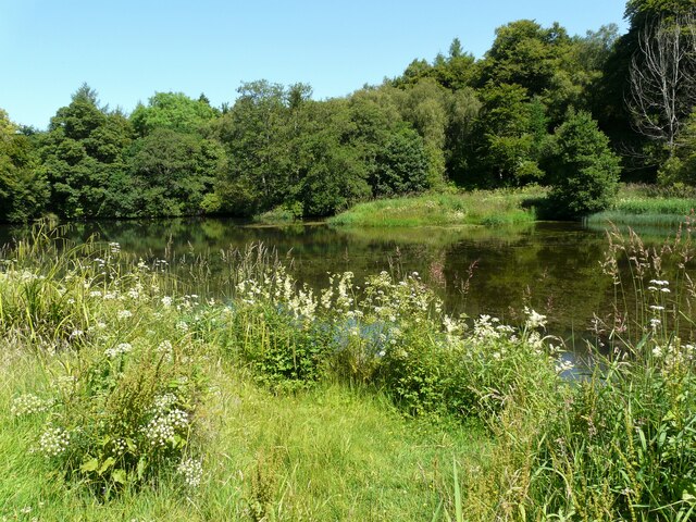
Auchendores Reservoir, located in Renfrewshire, Scotland, is a picturesque freshwater loch nestled amidst rolling hills and verdant landscapes. Covering an area of approximately 40 hectares, it serves as a vital water source for the surrounding communities.
The reservoir is characterized by its calm, still waters, which reflect the surrounding scenery and create a tranquil atmosphere. Its banks are adorned with a variety of lush vegetation, including reeds, grasses, and shrubs, providing a habitat for numerous species of birds and other wildlife.
The reservoir boasts a diverse range of aquatic flora and fauna, making it an ideal destination for nature enthusiasts and birdwatchers. Visitors can often spot various waterfowl species such as swans, ducks, and geese, as well as herons and kingfishers. The abundance of fish in the reservoir, including trout and perch, also attracts anglers.
Surrounded by walking trails and open green spaces, Auchendores Reservoir offers a peaceful retreat for those seeking outdoor recreational activities. Hiking or cycling along the scenic paths provides visitors with panoramic views of the reservoir and its surroundings. Additionally, the calm waters of the reservoir make it a popular spot for sailing, kayaking, and canoeing.
Overall, Auchendores Reservoir serves as a vital water resource for the region while also providing a haven for diverse wildlife and offering recreational opportunities for visitors. Its idyllic setting and natural beauty make it a must-visit destination for nature lovers and those seeking a peaceful escape in Renfrewshire.
If you have any feedback on the listing, please let us know in the comments section below.
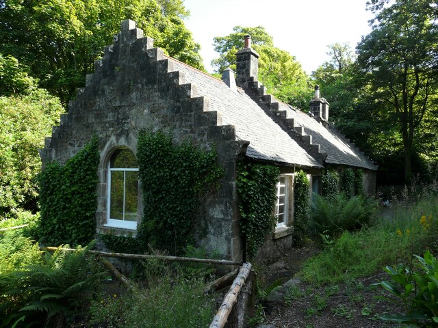
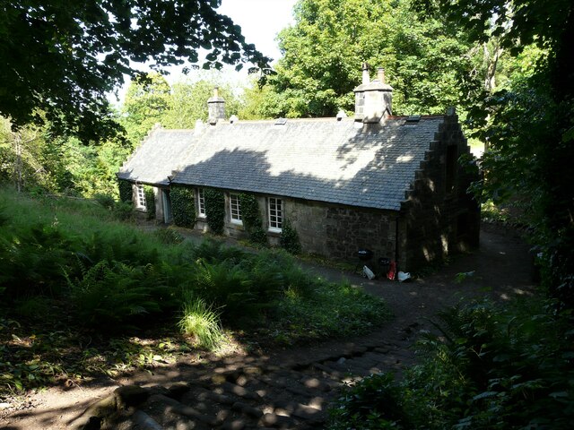
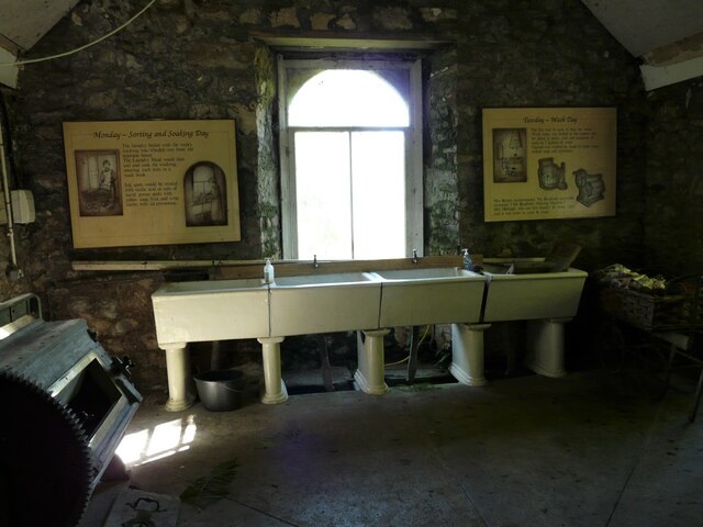
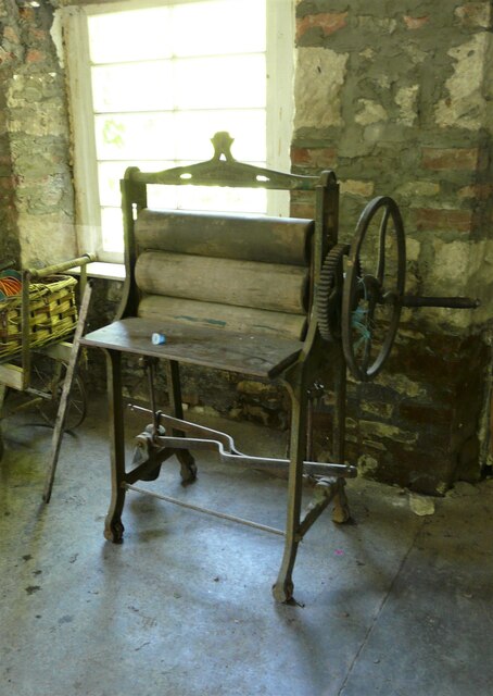
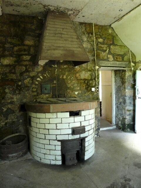
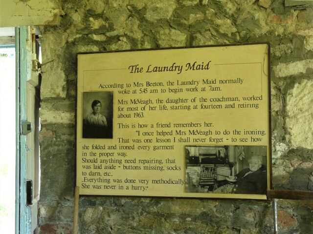
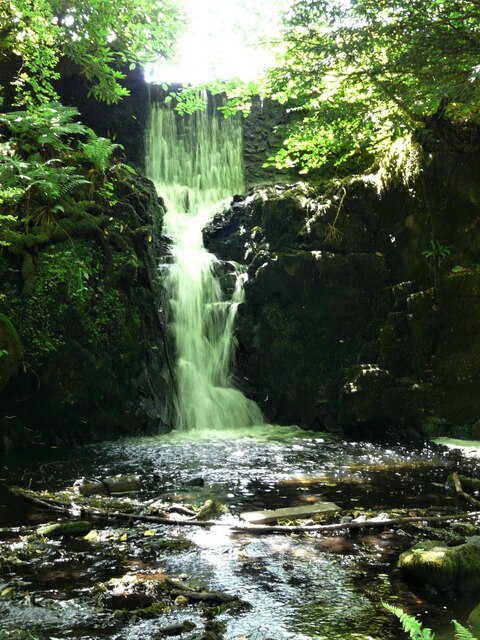
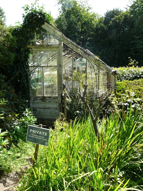
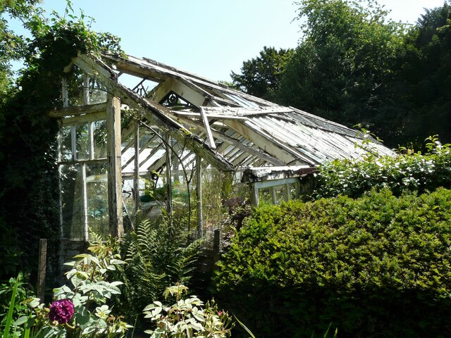
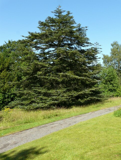
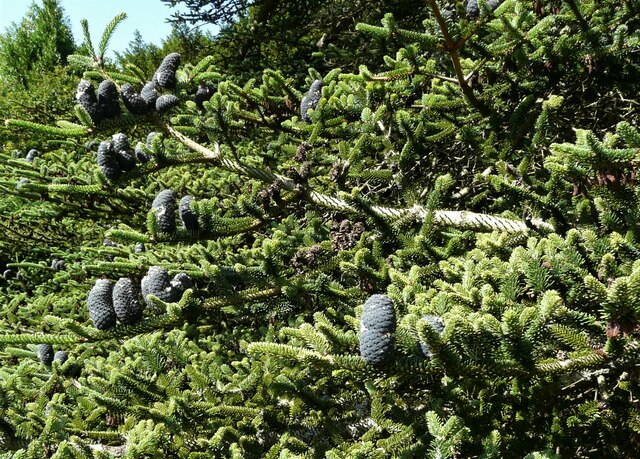
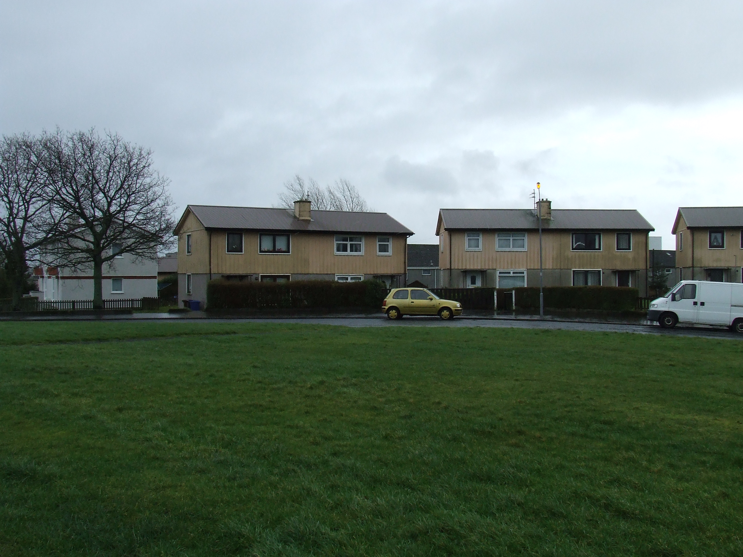
Auchendores Reservoir Images
Images are sourced within 2km of 55.915454/-4.6325248 or Grid Reference NS3572. Thanks to Geograph Open Source API. All images are credited.
Auchendores Reservoir is located at Grid Ref: NS3572 (Lat: 55.915454, Lng: -4.6325248)
Unitary Authority: Inverclyde
Police Authority: Renfrewshire and Inverclyde
What 3 Words
///eggplants.parsnip.hexes. Near Kilmacolm, Inverclyde
Nearby Locations
Related Wikis

Park Farm, Port Glasgow
Park Farm is a housing scheme in the upper east area of Port Glasgow, Inverclyde, Scotland, built on the site of Park farm which stood near Parkhill Square...

Finlaystone House
Finlaystone House is a mansion and estate in the Inverclyde council area and historic county of Renfrewshire. It lies near the southern bank of the Firth...

Port Glasgow F.C.
Port Glasgow Junior Football Club is a Scottish football club, based in the town of Port Glasgow, Inverclyde. == History == Nicknamed the Undertakers...
Bardrainney
Bardrainney is a neighbourhood of Port Glasgow, in the Inverclyde district of Scotland. Bardrainney, possibly from the Gaelic for "hill of thorns", is...
Woodhall, Port Glasgow
Woodhall is a housing scheme in the lower east end of Port Glasgow, Inverclyde in Scotland. It stands on land once occupied by Woodhall mansion and estate...
Mid Auchinleck
Mid Auchinleck is an area in the town of Port Glasgow, Inverclyde, Scotland. Mid Auchinleck was the name of a now disappeared farm located on this site...

Port Glasgow Upper railway station
Port Glasgow Upper was a railway station serving Port Glasgow, Renfrewshire, Scotland, originally as part of the Greenock and Ayrshire Railway. == History... ==
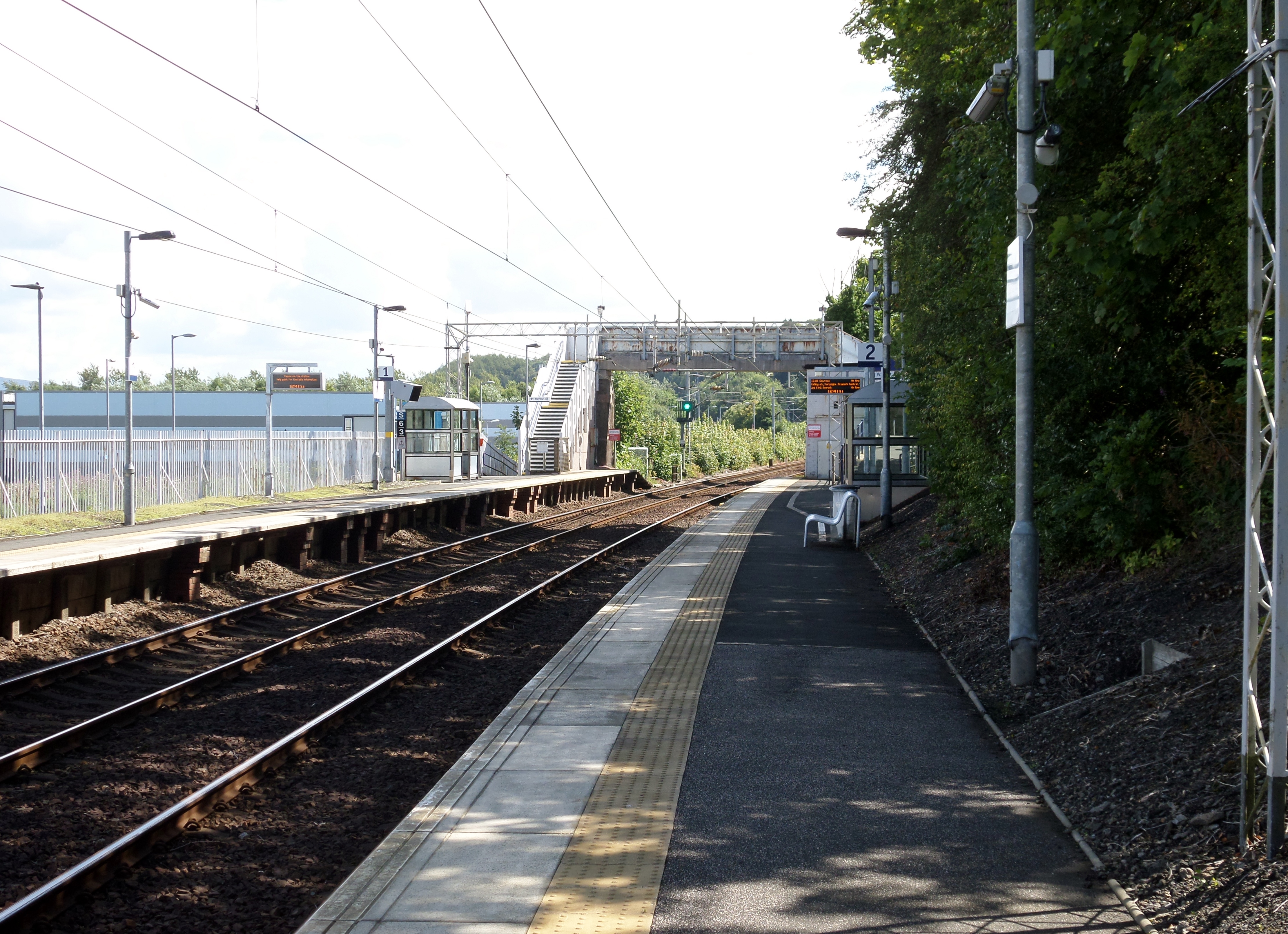
Woodhall railway station
Woodhall railway station serves the eastern part of the town of Port Glasgow in Inverclyde, Scotland. The station is sited in the Woodhall area and is...
Nearby Amenities
Located within 500m of 55.915454,-4.6325248Have you been to Auchendores Reservoir?
Leave your review of Auchendores Reservoir below (or comments, questions and feedback).