Loch Lambknowe

Lake, Pool, Pond, Freshwater Marsh in Sutherland

Scotland

Loch Lambknowe

Rhigolter Strath Dionard beneath Beinn Spionnaidh.
Rhigolter Credit: Richard Webb

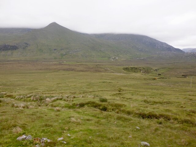
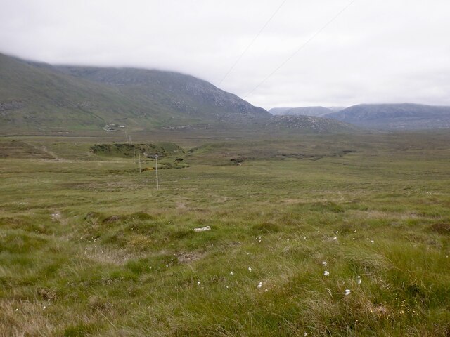
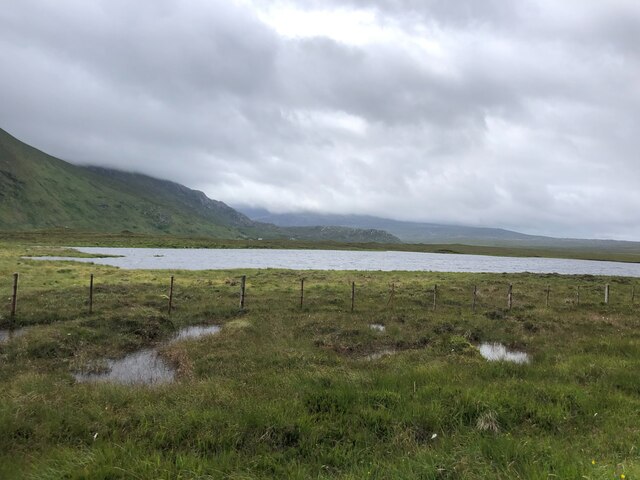
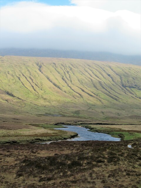
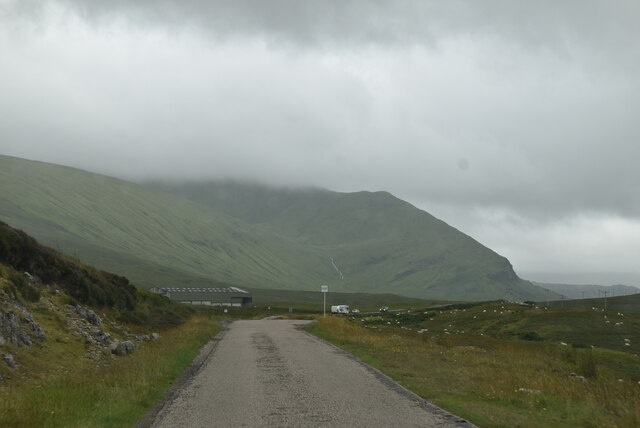
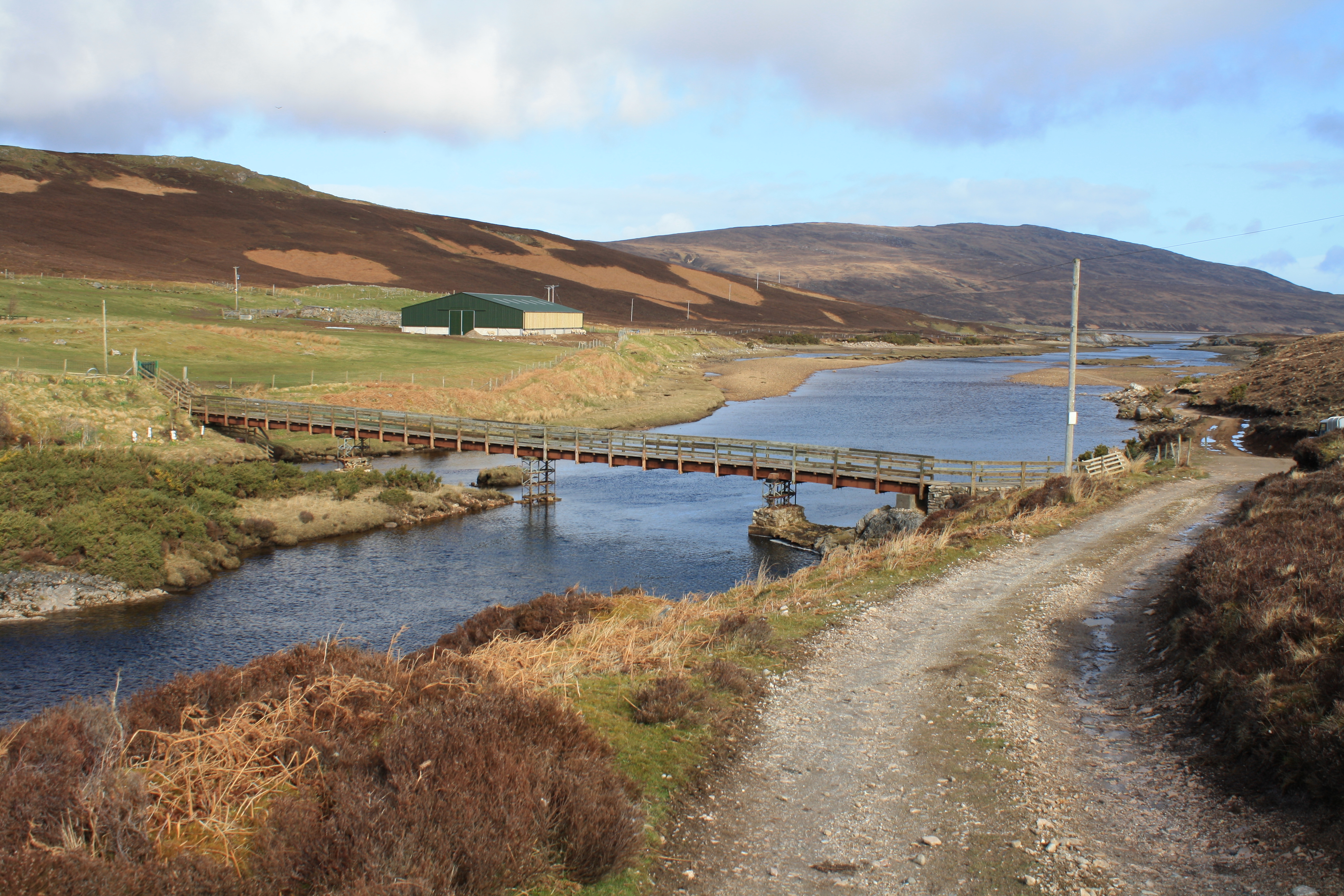
Loch Lambknowe is a picturesque freshwater loch located in the rural and scenic region of Sutherland, Scotland. Nestled amidst rolling hills and lush greenery, this tranquil waterbody covers an area of approximately 10 hectares. It is often referred to as a loch, though its smaller size and calm waters make it resemble a pool or pond.

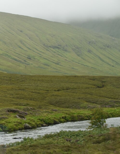
The loch is surrounded by a diverse range of vegetation, including reeds, grasses, and shrubs, creating a vibrant freshwater marsh ecosystem. This marshland provides a habitat for a variety of plant and animal species, adding to the natural beauty and ecological significance of the area.

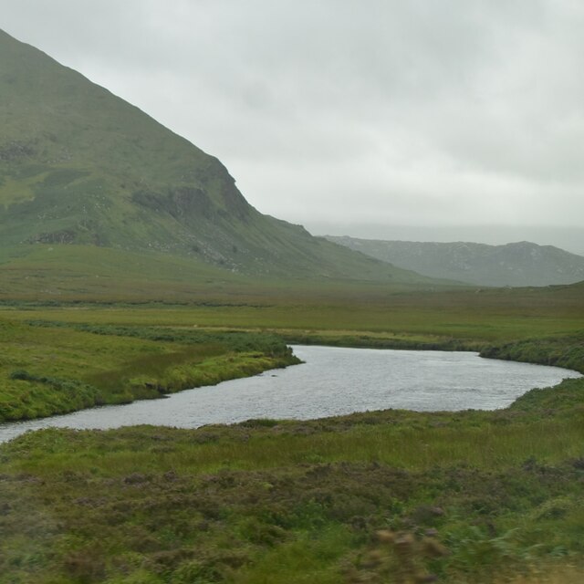
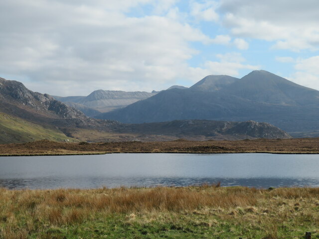
The water in Loch Lambknowe is crystal clear, reflecting the surrounding landscape and offering a serene and idyllic setting. It is fed by several small streams and springs, ensuring a constant flow of fresh water. The loch's depth varies, with some areas reaching up to 5 meters.

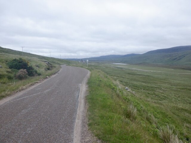
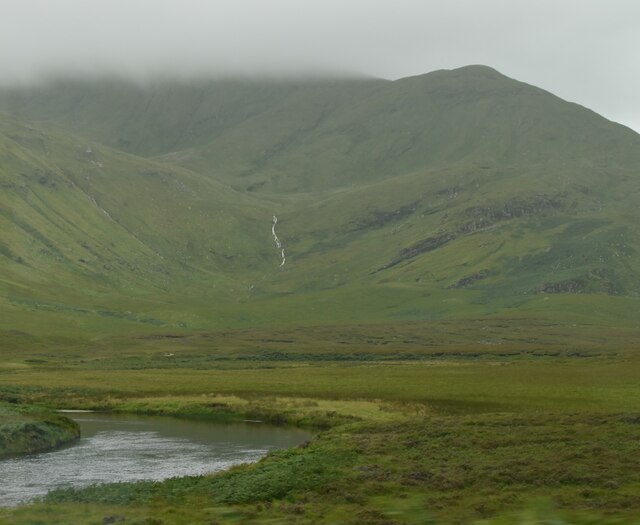
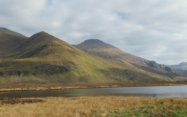
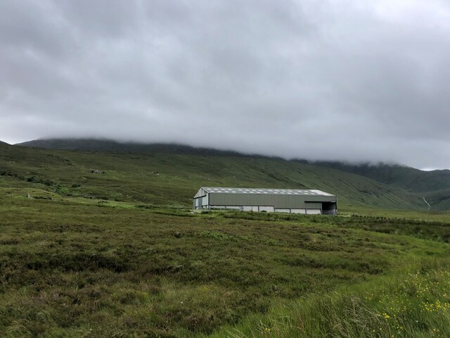
Due to its remote location, Loch Lambknowe remains relatively undisturbed, making it a haven for wildlife. Visitors may catch glimpses of waterfowl, such as ducks and geese, gracefully gliding across the water's surface. The loch also supports a diverse range of fish species, including trout and perch, attracting anglers from near and far.

For those seeking tranquility and natural beauty, Loch Lambknowe is a hidden gem waiting to be discovered. Its calm waters, lush surroundings, and abundant wildlife make it a perfect destination for nature enthusiasts and anyone looking to escape the hustle and bustle of everyday life.

If you have any feedback on the listing, please let us know in the comments section below.

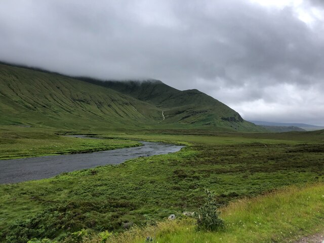
Loch Lambknowe Images

Images are sourced within 2km of 58.493264/-4.8363262 or Grid Reference NC3459. Thanks to Geograph Open Source API. All images are credited.

Rhigolter Strath Dionard beneath Beinn Spionnaidh.
Rhigolter
Strath Dionard beneath Beinn Spionnaidh.
A838, Carbreck Descent of Strath Dionard.
A838, Carbreck
Descent of Strath Dionard.
Flank of Cnoc an Fhreiceadain Rough grazing in Strath Dionard.
Flank of Cnoc an Fhreiceadain
Rough grazing in Strath Dionard.
A838, Strath Dionard The long climb from the Kyle of Durness to Gualin.
A838, Strath Dionard
The long climb from the Kyle of Durness to Gualin.
Rhigolter Strath Dionard.
Rhigolter
Strath Dionard.
River Dionard
River Dionard
River Dionard
River Dionard
River Dionard Lots of steams descending the mountainside, the crag ahead is Creag Iarnlair
River Dionard
Lots of steams descending the mountainside, the crag ahead is Creag Iarnlair
Lochan na Glamhaichd From the A838
Lochan na Glamhaichd
From the A838
Lochan na Glamhaichd Roadside lochan offering a view towards Foinaven.
Lochan na Glamhaichd
Roadside lochan offering a view towards Foinaven.
Across the lochan towards Cranstackie To the left is the NW ridge of Beinn Spionnaidh, whilst behind and to the right is the 801m summit of Cranstackie, the two hills being the most northerly Corbetts in Scotland.
Across the lochan towards Cranstackie
To the left is the NW ridge of Beinn Spionnaidh, whilst behind and to the right is the 801m summit of Cranstackie, the two hills being the most northerly Corbetts in Scotland.
Road towards Carbreck The A838 heading south towards Rhiconich.
Road towards Carbreck
The A838 heading south towards Rhiconich.
Gullies on the hillside The lower slopes of Beinn Spionnaidh riven by many gullies carrying tiny streams towards the River Dionard. The summit of the mountain was covered in clag for much of the day as a fierce east wind blew cloud in over the tops, but with breaks on the lee side.
Gullies on the hillside
The lower slopes of Beinn Spionnaidh riven by many gullies carrying tiny streams towards the River Dionard. The summit of the mountain was covered in clag for much of the day as a fierce east wind blew cloud in over the tops, but with breaks on the lee side.
NC500 The A838 runs 83 miles from Dalchork to Tongue, via Durness, in NW Scotland.
<span class="nowrap"><a title="https://www.sabre-roads.org.uk/wiki/index.php?title=A838" rel="nofollow ugc noopener" href="https://www.sabre-roads.org.uk/wiki/index.php?title=A838">Link</a><img style="margin-left:2px;" alt="External link" title="External link - shift click to open in new window" src="https://s1.geograph.org.uk/img/external.png" width="10" height="10"/></span>
NC500
The A838 runs 83 miles from Dalchork to Tongue, via Durness, in NW Scotland. LinkExternal link
River Dionard
River Dionard
Old sheepfold In the moorland near Sarsgrum
Old sheepfold
In the moorland near Sarsgrum
Farm shed by the A838 The top of Beinn Spionnaidh in the clouds beyond
Farm shed by the A838
The top of Beinn Spionnaidh in the clouds beyond
River Dionard At Dionard bridge
River Dionard
At Dionard bridge
Show me another place!

Loch Lambknowe is located at Grid Ref: NC3459 (Lat: 58.493264, Lng: -4.8363262)

Unitary Authority: Highland

Police Authority: Highlands and Islands

What 3 Words

///unloading.explain.catapult. Near Oldshoremore, Highland

Related Wikis

Beinn Spionnaidh

Beinn Spionnaidh is a mountain of 773 m in Sutherland, the northwestern tip of the Scottish Highlands. It is a Corbett located west of Loch Eriboll and...

River Dionard

The River Dionard is a river in the historic county of Sutherland in northwest Scotland. It arises as the outflow from Loch Dionard which lies below the...
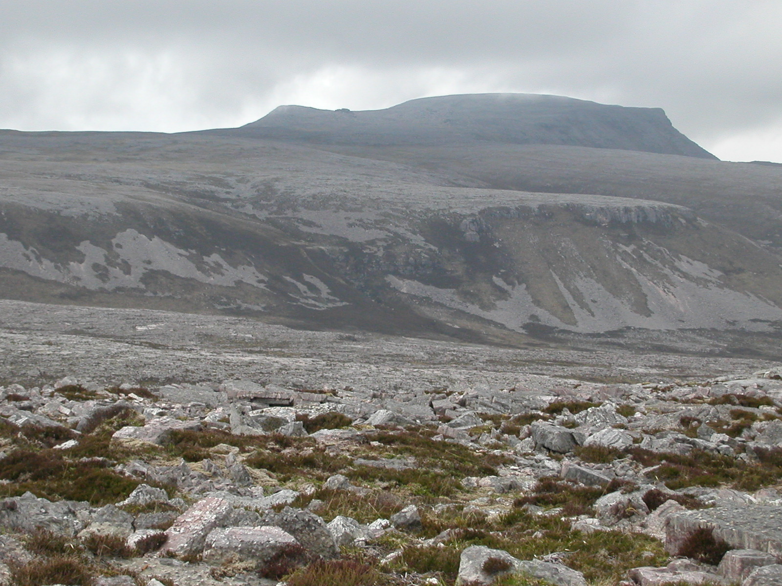
Cranstackie

Cranstackie is a mountain of 802 metres (2,631 ft) in Sutherland, the northwestern tip of the Scottish Highlands. It is a Corbett located west of Loch...
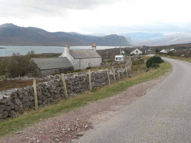
Laid, Sutherland

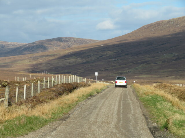
Laid is a remote, linear crofting township scattered along the A838 road on the western shore of the sea loch, Loch Eriboll in Sutherland in the northern...

Nearby Amenities

Located within 500m of 58.493264,-4.8363262
Material: wood
Power: pole
Lat/Long: 58.4968016/-4.8310061
Material: wood
Power: pole
Lat/Long: 58.4966199/-4.8322417
Material: wood
Power: pole
Lat/Long: 58.4947369/-4.843729
Material: wood
Power: pole
Lat/Long: 58.4949521/-4.8424162
Material: wood
Power: pole
Lat/Long: 58.4951701/-4.8410862
Material: wood
Power: pole
Lat/Long: 58.4953816/-4.839796
Material: wood
Power: pole
Lat/Long: 58.4956154/-4.8383697
Material: wood
Power: pole
Lat/Long: 58.4958135/-4.8371613
Material: wood
Power: pole
Lat/Long: 58.4960422/-4.8357659
Material: wood
Power: pole
Lat/Long: 58.4962091/-4.8347476
Material: wood
Power: pole
Lat/Long: 58.4964108/-4.8335173
The data included in this document is from www.openstreetmap.org. The data is made available under ODbL.

Have you been to Loch Lambknowe?

Leave your review of Loch Lambknowe below (or comments, questions and feedback).