Loch ma Stac

Lake, Pool, Pond, Freshwater Marsh in Inverness-shire

Scotland

Loch ma Stac

Lodge, Loch ma Stac Based on a tower house, situated on an island and now a ruin.
Lodge, Loch ma Stac Credit: Richard Webb

The requested URL returned error: 429 Too Many Requests

If you have any feedback on the listing, please let us know in the comments section below.
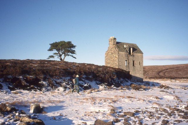
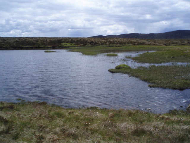
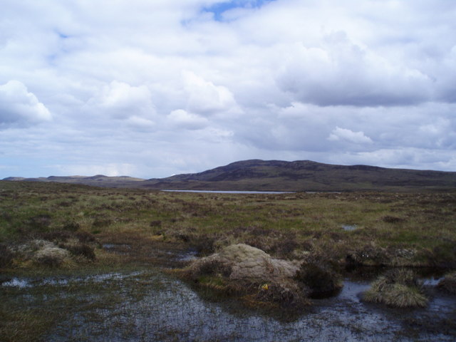
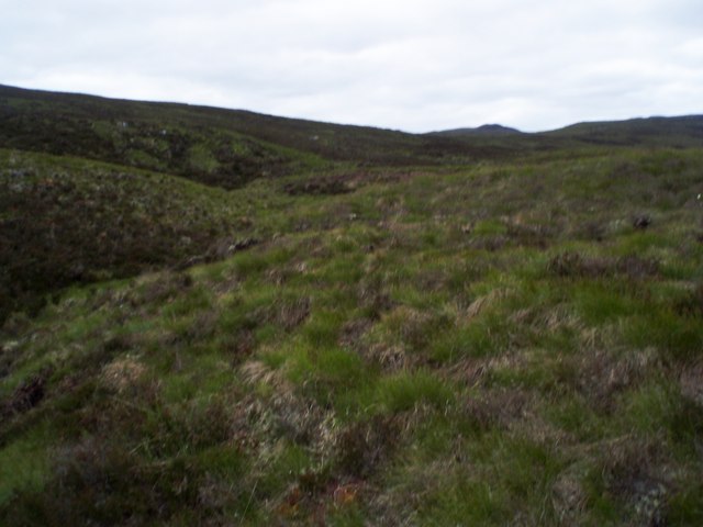
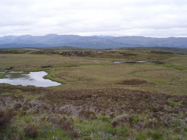
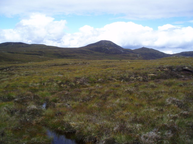
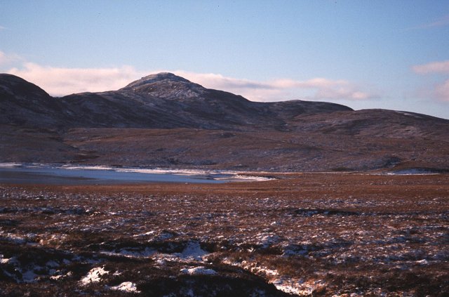
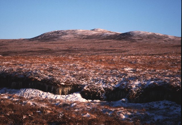
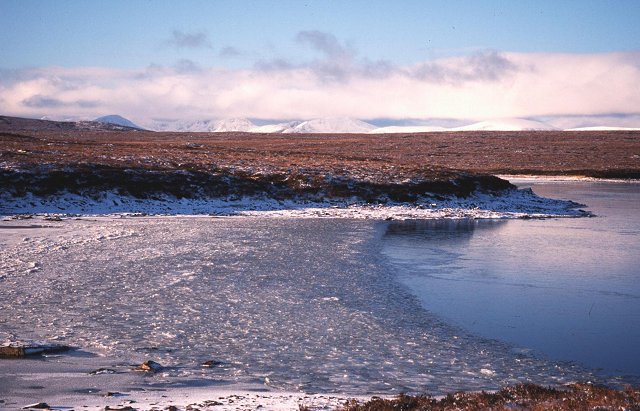
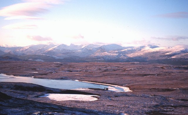
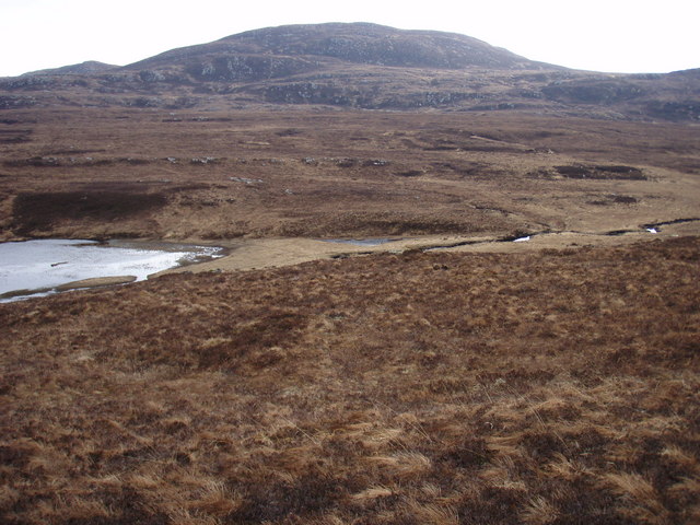
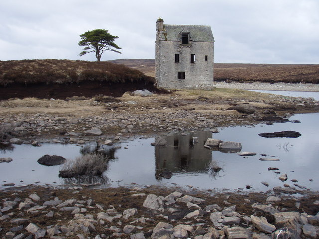
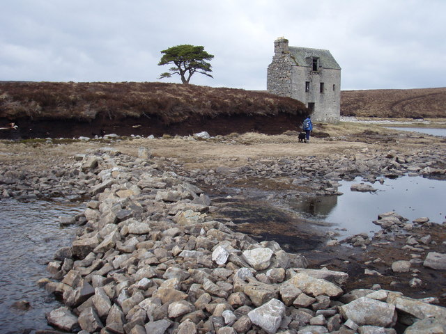
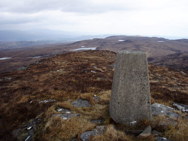
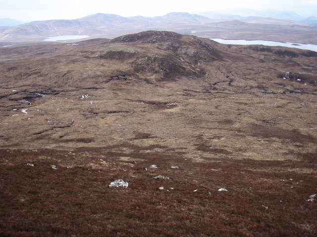
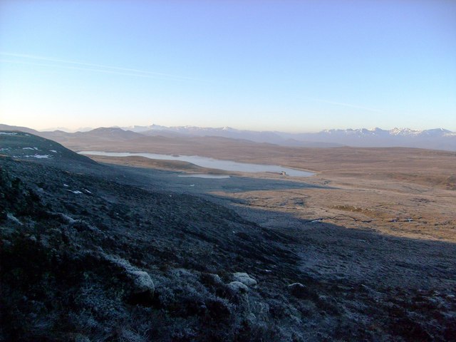
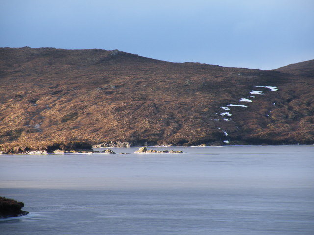
Loch ma Stac Images

Images are sourced within 2km of 57.255528/-4.7498423 or Grid Reference NH3421. Thanks to Geograph Open Source API. All images are credited.

Lodge, Loch ma Stac Based on a tower house, situated on an island and now a ruin.
Lodge, Loch ma Stac
Based on a tower house, situated on an island and now a ruin.
Small Lochan in watershed for Loch Liath
Very wet moorland west of Loch ma Stac
Leac nam Buidheag
Leac nam Buidheag
Feeder lochans for Lochan na Craoibhe
Meall nan Oighreagan from Meall nan Aighean Moorland
Carn Mhic an Toisich Looking over some tough boggy moorland and Loch Liath to Carn Mhic an Toisich (680m).
Carn Mhic an Toisich
Looking over some tough boggy moorland and Loch Liath to Carn Mhic an Toisich (680m).
Moorland above Glen Moriston. Featureless moorland lit up in winter red light. Icicles from the dripping peat. Looking towards Meall a'Chrataich from the Loch ma Stac hydro road.
Moorland above Glen Moriston.
Featureless moorland lit up in winter red light. Icicles from the dripping peat. Looking towards Meall a'Chrataich from the Loch ma Stac hydro road.
Loch ma Stac Ice on the southern shore of this high loch.
Loch ma Stac
Ice on the southern shore of this high loch.
Frozen beach, Loch ma Stac Loch ma Stac, is natural, but there is a weir to enlarge capacity (hydroelectricity). The water has been drawn down during this cold dry period of weather leaving a peaty beach lightly covered in snow at the northern end of the loch. The hill is Meall a'Chrataich.
Frozen beach, Loch ma Stac
Loch ma Stac, is natural, but there is a weir to enlarge capacity (hydroelectricity). The water has been drawn down during this cold dry period of weather leaving a peaty beach lightly covered in snow at the northern end of the loch. The hill is Meall a'Chrataich.
Slopes of Meall a'Chràthaich The high Glen Affric hills behind a view of a frozen lochan and Loch ma Stac.
Slopes of Meall a'Chràthaich
The high Glen Affric hills behind a view of a frozen lochan and Loch ma Stac.
Across the moorland to Meall a' Chràthaich Looking right across the square, pretty much corner to corner.  The cliffs on the hill are rather easier than they appear on the map.
Across the moorland to Meall a' Chràthaich
Looking right across the square, pretty much corner to corner. The cliffs on the hill are rather easier than they appear on the map.
The ruin on Loch ma Stac The island at the north east end of the loch has this rather intriguing ruin. Its lower windows are barred, and there is a high level door at the back.  If it had been by flowing water you might have guessed a mill, and there is a Loch a' Mhuilinn nearby.  One end has a very large opening, and a high level door, and the internal timbers look like there was a section of the building that was full height.  I only stuck my head in briefly as there was not much evidence of recent maintenance. The dormer window seems at variance to the rest of the character of the building.
The ruin on Loch ma Stac
The island at the north east end of the loch has this rather intriguing ruin. Its lower windows are barred, and there is a high level door at the back. If it had been by flowing water you might have guessed a mill, and there is a Loch a' Mhuilinn nearby. One end has a very large opening, and a high level door, and the internal timbers look like there was a section of the building that was full height. I only stuck my head in briefly as there was not much evidence of recent maintenance. The dormer window seems at variance to the rest of the character of the building.
Causeway to the Island on Loch ma Stac The causeway is marked on the 1:25000 so was surprised to find it, and such a large building.
Causeway to the Island on Loch ma Stac
The causeway is marked on the 1:25000 so was surprised to find it, and such a large building.
Summit of Meall a' Chràthaich
Unnamed hill south-west of Meall a' Chràthaich Heathery slopes down to grassy moorland, with a network of peat hags in the bealach.  They made a nice route to cross!
Unnamed hill south-west of Meall a' Chràthaich
Heathery slopes down to grassy moorland, with a network of peat hags in the bealach. They made a nice route to cross!
Meall a' Chrathaich W slopes Looking out over Loch ma Stac (is that "ma" an OS typo?)
Meall a' Chrathaich W slopes
Looking out over Loch ma Stac (is that "ma" an OS typo?)
Looking Over Islands on  Loch a' Bhothain
Looking Over Islands on Loch a' Bhothain
Show me another place!

Loch ma Stac is located at Grid Ref: NH3421 (Lat: 57.255528, Lng: -4.7498423)

Unitary Authority: Highland

Police Authority: Highlands and Islands

What 3 Words

///mess.resting.surprises. Near Cannich, Highland

Nearby Locations

Loch ma Stac

Related Wikis

Loch a' Bhainne

Loch a' Bhainne is a small, upland freshwater loch approximately 2 miles (3.2 km) north of the east end of Loch Garry and 3.5 miles (5.6 km) north-west...

Tomich (village)

Tomich (Scottish Gaelic: Tomaich) is a Victorian model conservation village situated in the Scottish Highlands at the western end of Strathglass, approximately...

Cannich wildfire

The Cannich wildfire was a wildfire burning in May-June 2023 in Cannich, a village in the Highland council area of Scotland about 26 mi (42 km) west of...

Guisachan Fall

Guisachan Fall is a waterfall of Scotland. Known locally as Home Falls, they are located near to the ruins of Guisachan House, and can be accessed by a...

Have you been to Loch ma Stac?

Leave your review of Loch ma Stac below (or comments, questions and feedback).